
Hillfort, brewing and Uley Blue
Uley
A village in a sheltered valley below Uley Bury, with an independent brewery, a historic freehouse and paths climbing onto the Cotswold escarpment.
- Best for
- Hillfort walks, village history and independent food and drink
- Give it
- 2.5–3.5 hours for the Hills and Hillforts circular
- Don't miss
- Uley Bury and the Norman font bowl at St Giles
The Fox verdict
A valley village with history on the hills
Uley pairs an independent brewery and community-owned shop with a major Iron Age hillfort, a Cotswold Way circular and layers of sacred history.
The village's strongest visit combines the food, drink and church around Uley with the climb to Uley Bury and Cam Long Down. The story stretches from Neolithic activity and Iron Age defences to Uley Blue broadcloth, a brewery founded in 1833 and a resident-owned shop.
Where to go
Places in Uley
Every place below is checked against a published source, listed with what it is and how long to give it.
Local signatures
3 placesThe Old Crown Inn
A traditional 17th-century freehouse with menus by head chef Tom Dooley, real ales, pool, darts, live music, open-mic evenings and quizzes.
- Visit length
- Editorial estimate: around 90 minutes
- Locality
- opposite St Giles and beside the village green
- Access
- Dogs must be kept on leads; customer parking requires vehicle registration.
Jubilee Playground
A community playground with a bespoke multi-play structure, in-ground trampoline, safety surfacing and a small stream beach, remade in 2022.
- Visit length
- Editorial estimate: around 60 minutes
- Locality
- off Raglan Way
Uley Bury
A roughly rectangular, multivallate Iron Age hillfort of about 23 hectares, described by Historic England as one of the Cotswolds' largest.
- Visit length
- Editorial estimate: around 60 minutes
- Locality
- above Uley
Food & drink
3 placesUley Brewery and The Forge
A small independent brewery using its own natural spring, with a shop and brewery taproom called The Forge; it says it was founded in 1833 and remains family-run.
- Visit length
- Editorial estimate: around 60 minutes
- Locality
- Uley
Uley Community Stores and Post Office
A resident-owned shop and Post Office carrying daily essentials, locally sourced and locally grown produce, and village information.
- Visit length
- Editorial estimate: around 30 minutes
- Locality
- 53 The Street
Vestry Cafe at Prema Arts Centre
A cafe in Bethesda Chapel as part of Prema Arts Centre.
- Visit length
- Editorial estimate: around 60 minutes
- Locality
- Bethesda Chapel, South Street
Walks & outdoors
1 placeHills and Hillforts – Cam Long Down and Uley
A circular mixing woodland tracks and open hilltops, with views across the Severn Estuary to Wales.
- Visit length
- Editorial estimate: 2.5–3.5 hours
- Locality
- around Uley Bury and Cam Long Down
- Access
- The route is graded moderate to difficult because of stiles, steps and steep ground.
History & heritage
2 placesChurch of St Giles
S. S. Teulon's 1857–58 Decorated Gothic church, with Wailes stained glass, a surviving Norman octagonal font bowl and a bell cast by Abraham Rudhall in 1715.
- Visit length
- Editorial estimate: around 45 minutes
- Locality
- across the green from The Old Crown
Uley Long Barrow / Hetty Pegler's Tump
A partly reconstructed Neolithic chambered mound, 37 metres long and named after 17th-century landowner Hester Pegler.
- Visit length
- Editorial estimate: around 60 minutes
- Locality
- overlooking the Severn Valley
- Access
- Free access in reasonable daylight; the site has uneven ground, steep slopes and minimal parking.
No places match this filter. Choose All places to reset the list.
Three ways to explore Uley
Signature outings
Beer from Uley's spring
Visit The Forge at Uley Brewery, which uses its own natural spring and lists beers including Uley Bitter, Pigs Ear and Old Spot.
Old fabric in a Victorian church
Look for the Norman octagonal font bowl and the 1715 Abraham Rudhall bell reused inside S. S. Teulon's 1857–58 church.
Hetty Pegler's Tump
See the partly reconstructed, 37-metre chambered mound named after 17th-century landowner Hester Pegler.
The village story
Uley Village Guide
From a village green, brewery and community shop to hillforts, sacred sites and the lost Uley Blue cloth trade.
The Old Crown and Uley Brewery
The Old Crown sits opposite the church and beside the village green. The same family has owned it for more than thirty years; Kate, Tom and their team reopened it in 2022, after a fifteen-year tenancy ended and the building was renovated. Head chef Tom Dooley's menus move from cauliflower karaage in a sweet-soy marinade and salt-and-pepper squid to beer-battered cod with minted petits pois, a pork T-bone with chimichurri, and a sweet-potato, red-pepper and spinach burrito. Dogs come in on leads and are given a bowl of water and a biscuit; the bar also sells locally made Clemootle dog biscuits to take home. On the pumps you will find Wye Valley HPA and Butty Bach alongside Stroud Brewery's Tom Long and Budding, with guest ales also available. There is a pool table and a darts board, and evenings of live music, open mic and quizzes.
Uley has been brewing far longer than that. Uley Brewery has stood on the same site since 1833, drawing on its own natural spring, and has been family-run for the past forty years. Its shop and taproom, The Forge, sells Uley Bitter, Pigs Ear, Old Spot, Uley Pale, Uley Gold and Uley Taverner — the last three listed as from brewer Ken Lush — in one-litre bottles, mini-pins and larger fresh-cask boxes.
Community shelves and St Giles
For everything else there is Uley Community Stores and Post Office at 53 The Street, owned by the residents who use it. It carries daily essentials next to locally grown and locally sourced produce, and doubles as a hub for village news. Up on South Street, the Vestry Cafe occupies Bethesda Chapel as part of the Prema Arts Centre.
St Giles faces the Old Crown across the green, and it is younger than it looks. S. S. Teulon designed it in a fourteenth-century Decorated Gothic style and it was built in 1857–58, replacing a church pulled down the year before, on a site that had held a stone church since the eleventh century. Inside there is a six-bay nave with round piers under a wind-braced collar king-post roof, stained glass by Wailes, and a Norman octagonal font bowl kept from the older building. The great bell, cast by Abraham Rudhall in 1715, carries the line "The living I to church do call, and to the grave do summon all."
Hillforts, shrines and Uley Blue
The village lies in a sheltered valley behind the steep Cotswold escarpment, at the eastern edge of the Severn Vale, along the spring-fed River Ewelme. Above it rises Uley Bury, a roughly rectangular Iron Age hillfort of about twenty-three hectares and one of the largest in the Cotswolds. The four-mile Hills and Hillforts circular climbs it and Cam Long Down along the Cotswold Way, with views across the Severn Estuary to Wales; it is graded moderate to difficult for its stiles, steps and steep ground, with a shorter mile-and-a-half loop for lighter legs. A second circular links Uley to Nympsfield and Frocester Hill by way of Nympsfield Long Barrow and Hetty Pegler's Tump. In all, the parish keeps about twenty-five miles of footpaths and bridleways.
The hills here were sacred long before the fort. On West Hill, Neolithic standing stones or posts gave way to Iron Age timber shrines and then a Romano-Celtic temple, enlarged in the fourth century, with finds implying the worship of Mercury. Later the village made its money from cloth. Uley and neighbouring Owlpen prospered on broadcloth; the deep "Uley Blue" was known internationally and went into army uniforms during the Napoleonic wars, supporting high wages and a great many inns. When coal power drew the industry north, the valley mills fell quiet, and cloth-making here was finished by 1840.
Play, paths and arrival
For families there is the Jubilee Playground off Raglan Way, remade in 2022 with a multi-play structure, an in-ground trampoline and a small stream "beach"; it first opened in 1978, inaugurated by Princess Anne. Shadwell Playing Field, six acres of football and cricket pitches, was bought as a memorial to thirteen local people killed in the Second World War.
The B4066 runs through the village as The Street. Cam & Dursley station is about 2.7 miles away on Great Western Railway, and Stagecoach West's 65 and 65X buses connect Uley with Stroud, Dursley, Stonehouse and Gloucester.
Hetty Pegler's Tump
Nearby, Hetty Pegler's Tump — a Neolithic burial mound thirty-seven metres long — is named after Hester Pegler, who owned the land in the seventeenth century. It overlooks the Severn Valley.
Stay around Cotswolds
Make a longer stay of it
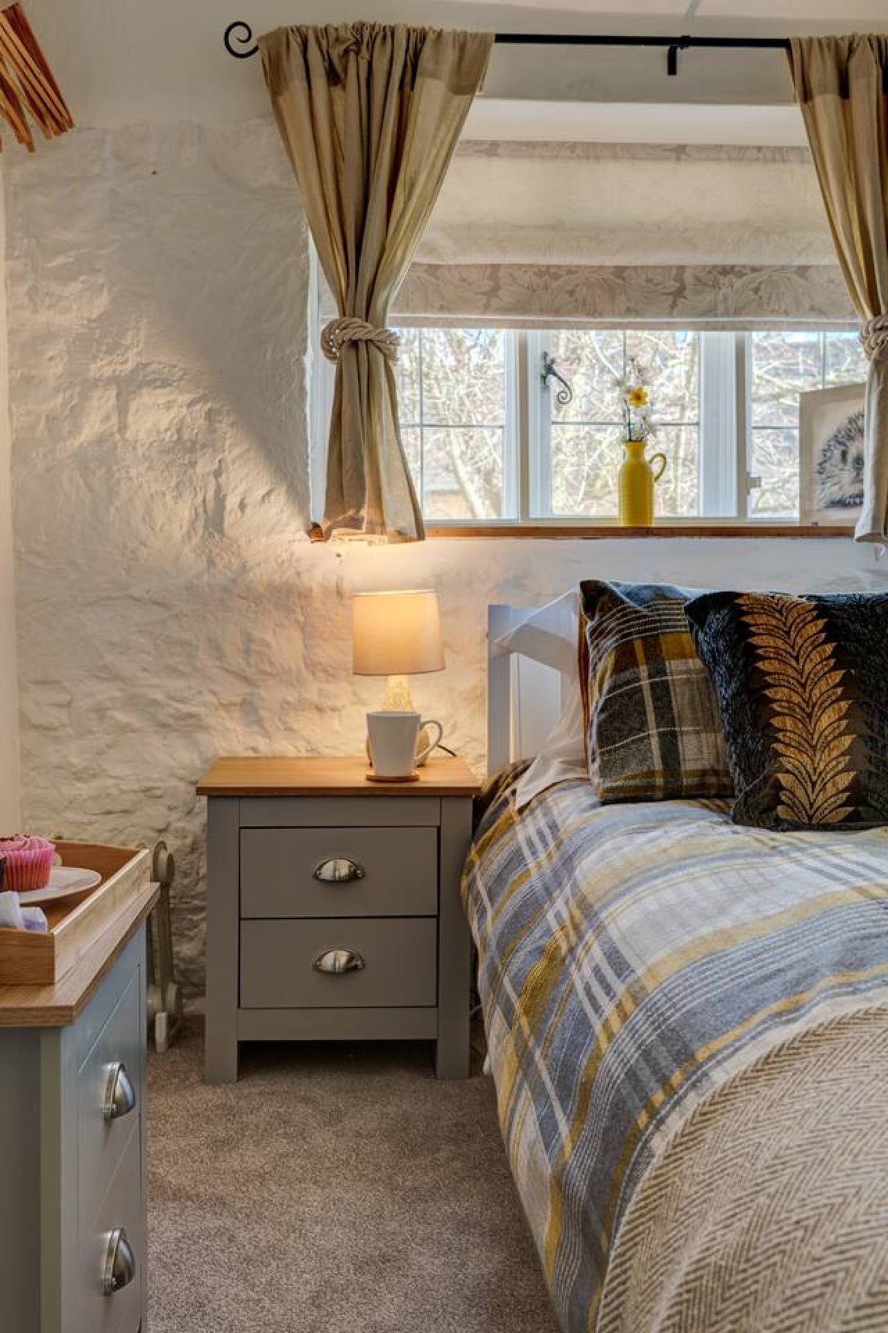
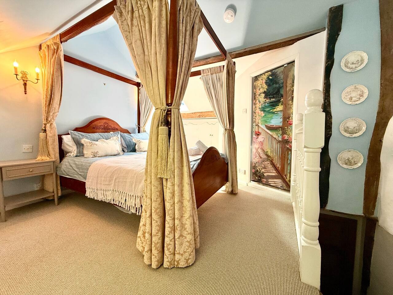
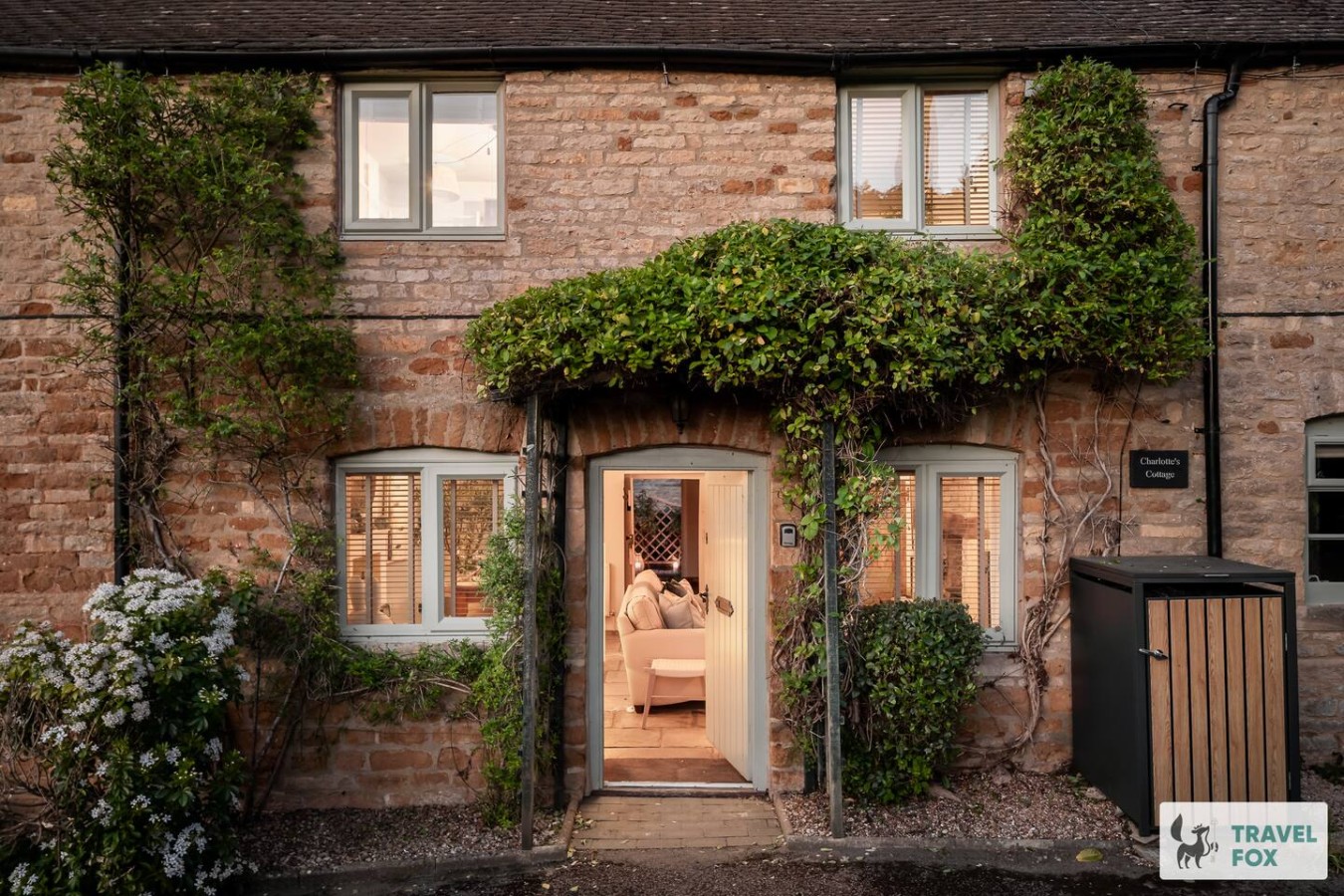
Travel Fox holiday homes around Cotswolds, linked directly to their property pages.
For homeowners
Own a holiday home near Uley?
We manage holiday lets across the Cotswolds from 12% commission, charged after cleaning costs, with no lock-in. A co-founder visits before you decide.
Holiday let management in the Cotswolds →
A guide with a point of view
Written from research. Edited for real journeys.
Use the Official site links for live practical details, then use this guide for context, ideas and room to explore.
Sources
Every place on this page is checked against a published source. Each entry links the record we used and names who publishes it.
- The Old Crown Inn — oldcrownuley.co.uk operator, sector body or destination organisation record not machine-readable; publisher restricts automated access
- Uley Brewery and The Forge — uleybrewery.com operator, sector body or destination organisation
- Uley Community Stores and Post Office — uleycommunitystores.co.uk operator, sector body or destination organisation
- Vestry Cafe at Prema Arts Centre — uleycommunitystores.co.uk other published source
- Church of St Giles — historicengland.org.uk statutory register or public authority record not machine-readable; publisher restricts automated access
- Hills and Hillforts – Cam Long Down and Uley — cotswolds-nl.org.uk other published source
- Jubilee Playground — uleyparishcouncil.gov.uk statutory register or public authority
- Uley Bury — historicengland.org.uk statutory register or public authority record not machine-readable; publisher restricts automated access
- Uley Long Barrow / Hetty Pegler's Tump — english-heritage.org.uk national body or asset manager