
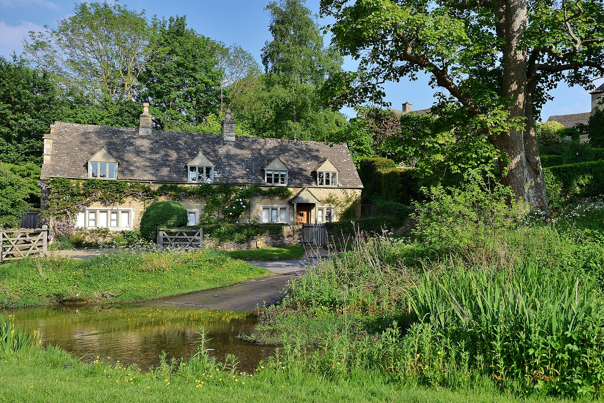
River Eye valley
Upper Slaughter
A small, lived-in Cotswold village where a road crosses the River Eye and a Norman church rises above the south bank.
- Best for
- River walks & quiet history
- Give it
- A slow half day
- Don't miss
- The ford and St Peter's
Photo: Michael Garlick · CC BY-SA 2.0 · cropped
The Fox verdict
Come for the river. Stay for the layers.
Upper Slaughter is a place to walk slowly: limestone cottages, the River Eye at the ford, and a church path climbing out of the valley.
There is little commercial bustle here, which is precisely the point. Bring the essentials, use public paths considerately, and let the village be a beginning for the wider Eye and Windrush valleys.
Your picks, your pace
Make Upper Slaughter yours
Choose a gentle village circuit, a walk down the Eye valley, or a nearby family day. Your saved list stays in order and becomes a direct map route when you are ready to go.
Local signatures
3 places
Start here
The River Eye Ford
The compact scene that explains Upper Slaughter: clear water, a stone ford, small bridges and warm limestone on both banks.
- Visit length
- Editorial estimate: 40 min
- Locality
- Village centre
- Access
- The ford is a working road crossing; use the adjacent footbridge if you prefer to stay dry.
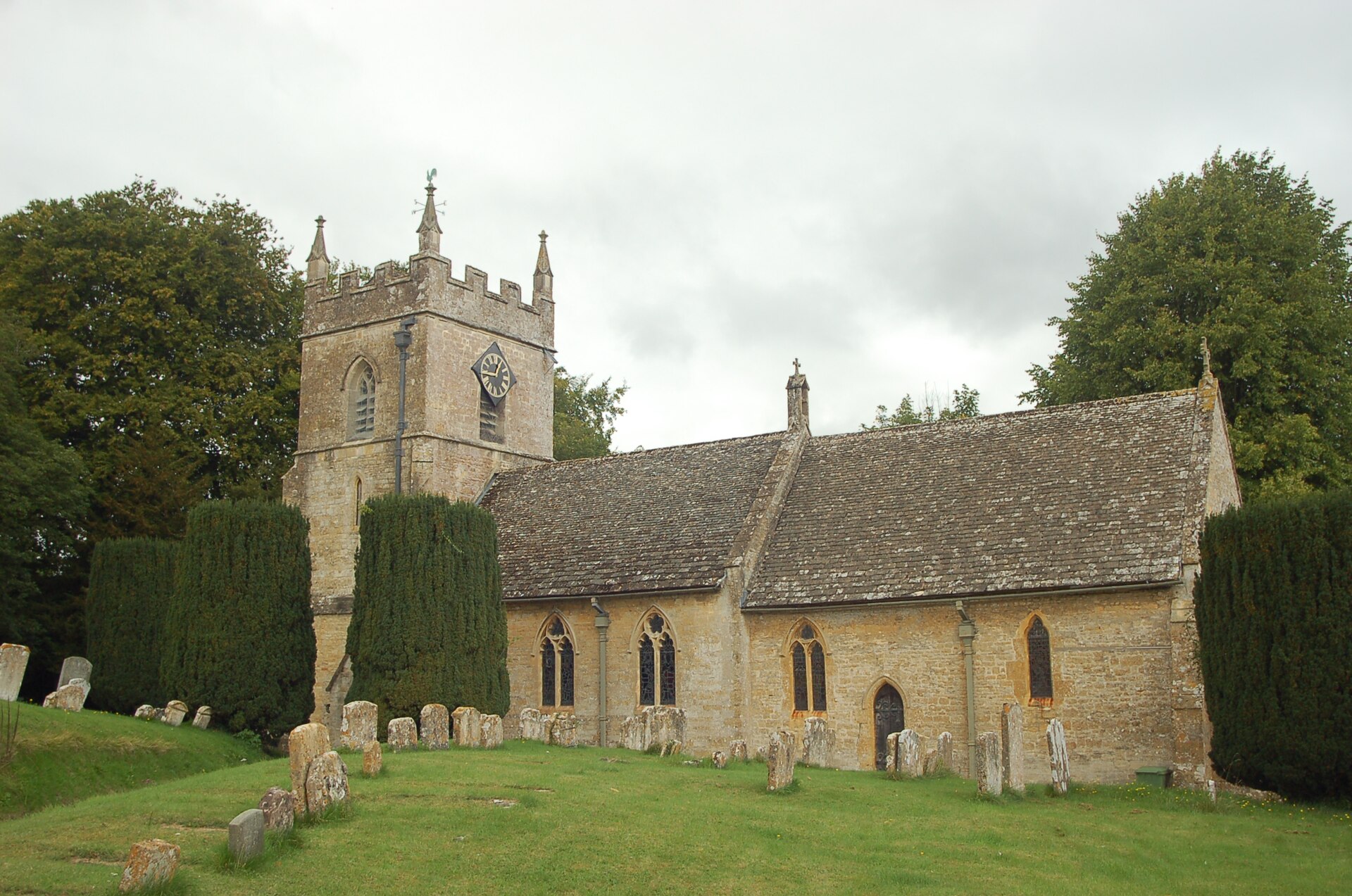
St Peter's Church
A Grade II*-listed church whose Norman nave, later chancel and tower make a remarkably rich record of the village's long life.
- Visit length
- Editorial estimate: 1 hour
- Locality
- Above the south bank
- Access
- The church is reached by a banked path; consult the church page before making a special journey.
Cotswold Motoring Museum & Toy Collection
A compact museum of motoring history, car culture and toys, with Brum among its familiar family characters.
- Visit length
- Editorial estimate: 90 min
- Locality
- Bourton-on-the-Water
- Access
- Use the Official site for visit information before travel.
Food & drink
2 places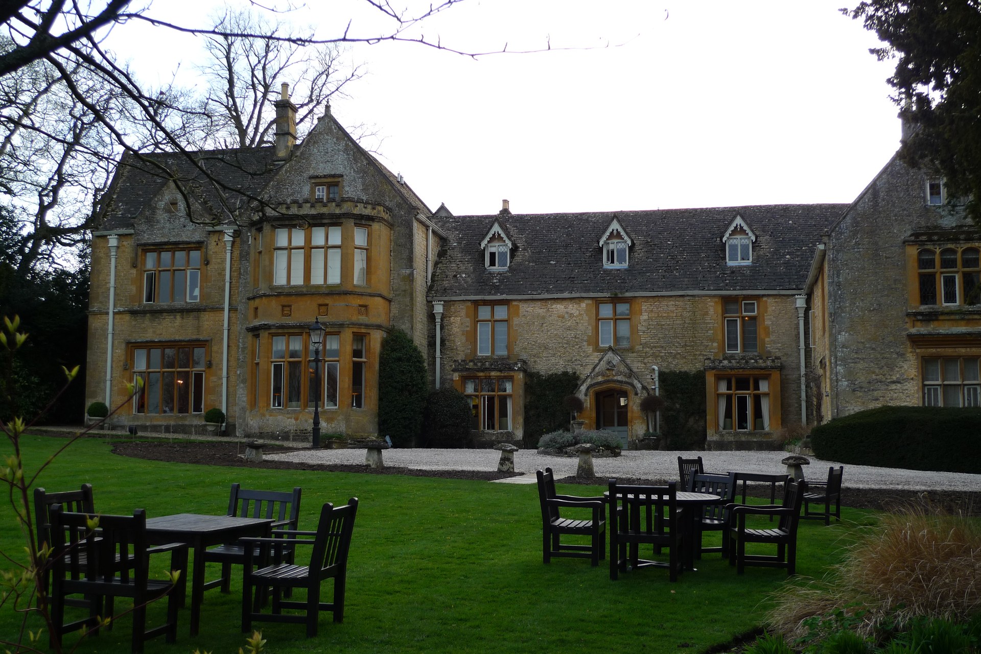
Lords of the Manor
A country-house hotel in a house dating from about 1649, with a relaxed dining room, a more formal restaurant and a bar.
- Visit length
- Editorial estimate: 1 hour
- Locality
- Upper Slaughter
- Access
- Dining is by reservation; use the Official site for current arrangements.
The Slaughters Country Inn
The nearby traditional inn for a meal after the valley walk, with a restaurant and bar beside the River Eye.
- Visit length
- Editorial estimate: 90 min
- Locality
- Lower Slaughter
- Access
- Use the Official site for current dining and booking arrangements.
Things to do
3 placesBirdland Park and Gardens
A family wildlife park of birds, gardens and walk-through habitats, including its well-known penguins.
- Visit length
- Editorial estimate: 90 min
- Locality
- Bourton-on-the-Water
- Access
- Use the Official site for visit information before travel.
The Model Village
A one-ninth-scale stone model of Bourton-on-the-Water, complete with a miniature version of the village itself.
- Visit length
- Editorial estimate: 1 hour
- Locality
- Bourton-on-the-Water
- Access
- Use the Official site for visit information before travel.
Cotswold Farm Park
A rare-breeds farm attraction where animals and family activities turn a rural outing into a proper day out.
- Visit length
- Editorial estimate: 2 hours
- Locality
- Temple Guiting
- Access
- Use the Official site for visit information before travel.
No places match this filter. Choose All places to reset the list.
On the map
Upper Slaughter at a glance
Tap a marker to jump to its guide card.
Three ways to explore Upper Slaughter
Signature outings
Climb to the Norman church
Take the banked path above the Eye and trace the Romanesque fragments in St Peter's porch and tower arch.
Book the village table
Treat the hotel's dining rooms as the village's food stop, then return to the lanes and river without a rush.
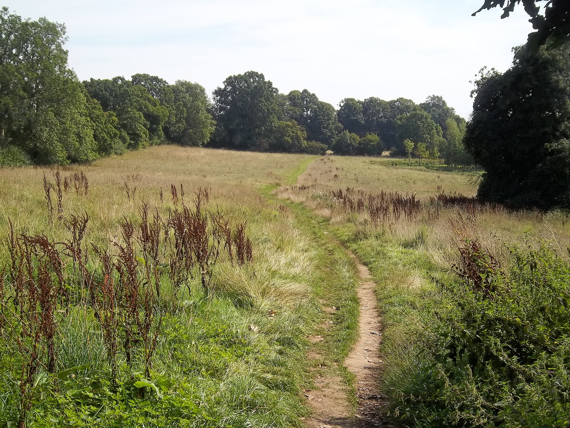
Walk down to Lower Slaughter
Take the public path through the River Eye valley, then stop at The Slaughters Country Inn for a meal.
The village story
A river crossing with a long memory
Upper Slaughter rewards attention rather than speed: a working ford, a climb to a church full of reused stone, and an old valley whose quiet is part of its character.
Start at the water
The road through Upper Slaughter dips to the River Eye and goes straight through it. A footbridge beside the ford gives walkers a dry alternative, while smaller bridges and honey-coloured cottages hold the two banks together. It is a small scene but not a stage set: the village is a working residential place, and its river, public paths and church are the parts made for lingering.
The name has a gentler origin than it sounds. It comes from the Old English slohtre, a muddy place. The Eye can look limpid beside the ford, yet the valley is agricultural and paths change with rain. Take the water as an invitation to slow down, not as a play area: the crossing is a road, and the real pleasure is watching the current, the stonework and the village rhythm around it.
A church above the ford
St Peter's rises above the south bank at the end of a path cut deeply between earth banks. Its fabric spans centuries: a twelfth-century nave, a chancel built later in the Middle Ages, and a tower whose upper stage arrived in the fifteenth century. The south porch is especially rewarding because Romanesque fragments have been set into it, a reminder that the village has rebuilt with its own past in view.
Inside, the story continues in scalloped capitals, two fonts, a thirteenth-century piscina and an Easter sepulchre partly obscured by a Baroque monument. Rev Francis Edward Witts, rector and magistrate here in the early nineteenth century, kept the diary that became Diary of a Cotswold Parson. His family also owned the house now occupied by Lords of the Manor, tying the church and village hospitality into the same local history.
The village that welcomed everyone home
Upper Slaughter is one of England's Thankful Villages. The wooden plaque in the village hall remembers twenty-four men and one woman who served in the First World War and returned. The village is described as Doubly Thankful because all thirty-six people who served in the Second World War came home too. That small fact changes the mood of the hall from picturesque timber to a record of extraordinary good fortune.
Major E. F. B. Witts granted the hall its long lease in 1920, and five Witts names appear on the First World War plaque. Agnes Witts served in the Voluntary Aid Detachment and may have driven an ambulance in France. The hall remains a single-room community building, not a visitor attraction, but its memorial gives this quiet settlement one of the Cotswolds' most affecting stories.
Follow the Eye to Lower Slaughter
The most natural extension is the valley walk to Lower Slaughter, around a mile away. It turns Upper Slaughter from a brief look at the ford into a proper outing: leave the church and river behind, follow public footpaths through the fields, and arrive among Lower Slaughter's bridges and mill. Muddy ground after rain is part of the bargain, so sturdy footwear and a current map are more useful than a rigid schedule.
At the far end, The Slaughters Country Inn gives the walk a practical finish with a restaurant and bar beside the Eye. Back in Upper Slaughter, Lords of the Manor offers the contrasting country-house version of a meal. The house dates from about 1649 and was converted into a hotel by Francis Witts in 1972. Neither option turns the village into a shopping street; the lack of ordinary retail is part of why the river still sets the pace.
Make it part of a wider day
The village is deliberately small, so it works best as one strong chapter in a wider Cotswolds day. Bourton-on-the-Water is the practical nearby choice for family attractions: Birdland, the Model Village and the Cotswold Motoring Museum & Toy Collection all turn a quiet river walk into a day with different kinds of curiosity. For animal-focused time outdoors, Cotswold Farm Park near Temple Guiting offers rare breeds and a more expansive rural stop.
The wider parish reaches much further back than the cottages suggest. North of Eyford Hill Farm lie a Neolithic long barrow and Bronze Age bowl barrows; near Lower Farm, earthworks preserve a motte-and-bailey site. Those are archaeological landscapes rather than casual diversions. They are a useful perspective, though: Upper Slaughter's ford is not an isolated postcard moment, but the latest visible crossing in a valley that has been settled, farmed and remembered for a very long time.
Stay around Cotswolds
Make a longer stay of it
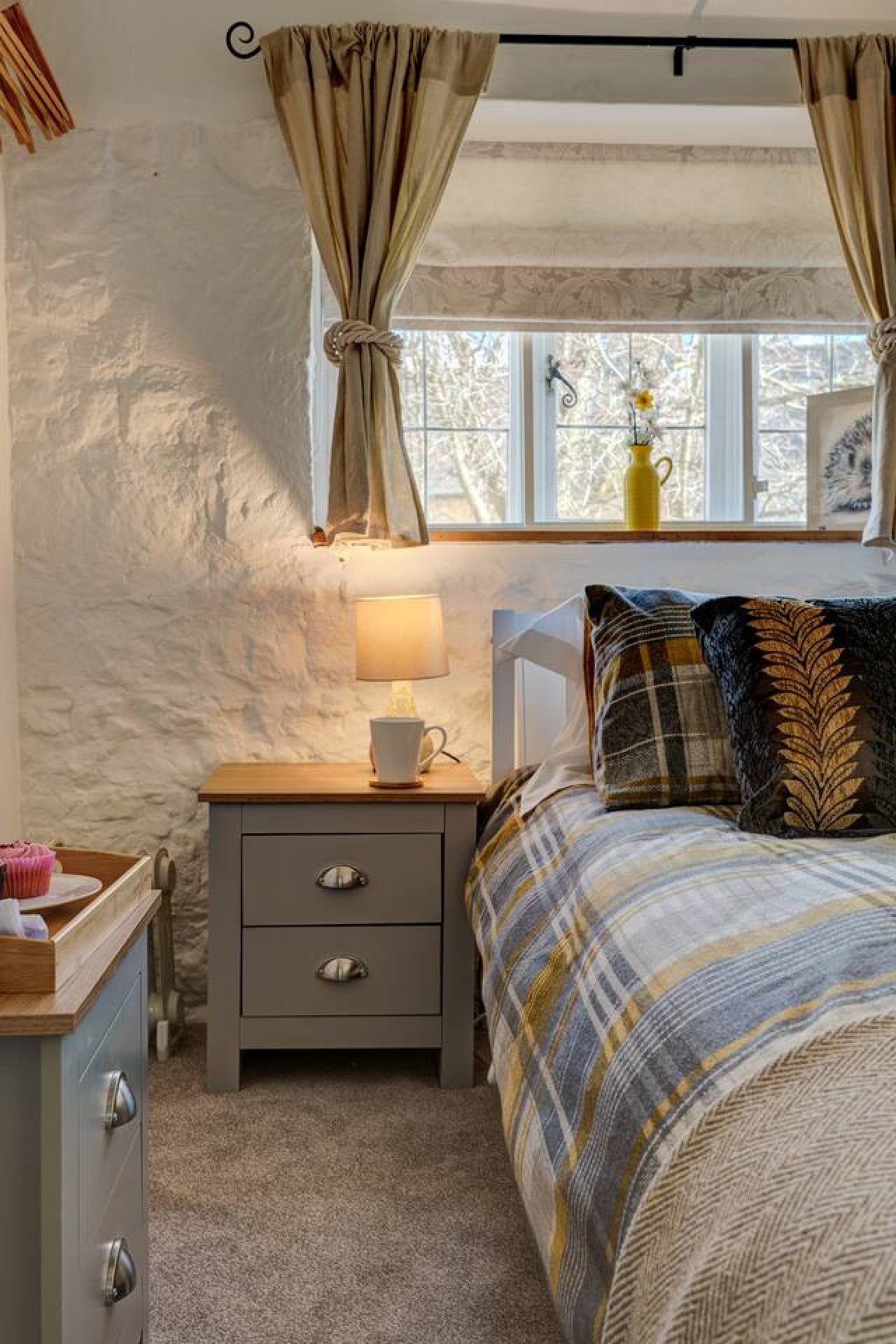
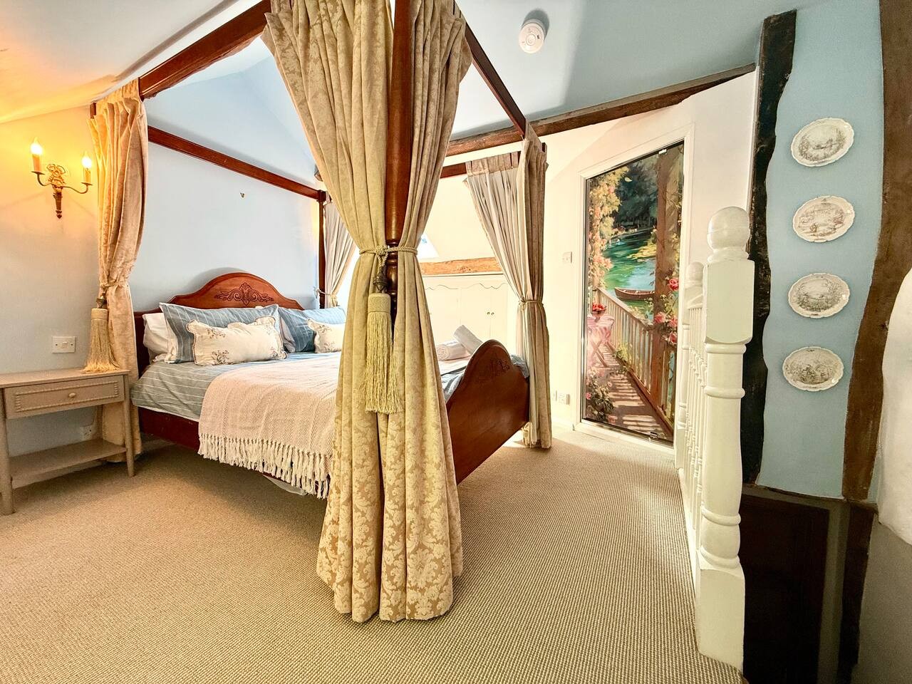
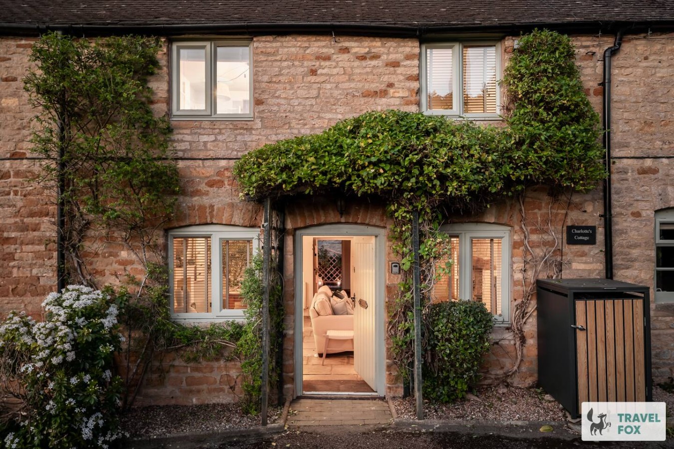
Travel Fox holiday homes around Cotswolds, linked directly to their property pages.
For homeowners
Own a holiday home near Upper Slaughter?
We manage holiday lets across the Cotswolds from 12% commission, charged after cleaning costs, with no lock-in. A co-founder visits before you decide.
Holiday let management in the Cotswolds →
A guide with a point of view
Written from research. Edited for real journeys.
Use the Official site links for live practical details, then use this guide for context, ideas and room to explore.
Photography credits & licences
Third-party photographs are credited to their named creators and reused under the linked Creative Commons licence or public-domain dedication. Travel Fox stores an optimised local copy; the file-specific changes and any browser-applied display crop are disclosed below. Reused photographs link both to the Wikimedia Commons source record and to the declared source image; Travel Fox's own photographs carry no such record and are marked as ours. These image licences do not cover Travel Fox text, branding or page design.
- File:Upper Slaughter, The ford across the River Eye - geograph.org.uk - 5441176.jpg — photograph by Michael Garlick; © Michael Garlick. Source record on Wikimedia Commons. Declared source image. Licence: CC BY-SA 2.0. File changes: Copied without byte modification from Wikimedia's declared rendition. Display changes: Displayed with CSS cropping.
- File:St Peter's Church, Upper Slaughter, Gloucestershire - geograph.org.uk - 2131378.jpg — photograph by Gary Brothwell; © Gary Brothwell. Source record on Wikimedia Commons. Declared source image. Licence: CC BY-SA 2.0. File changes: Copied without byte modification from Wikimedia's declared rendition. Display changes: Displayed with CSS cropping.
- File:Upper Slaughter to Lower Slaughter - geograph.org.uk - 2338085.jpg — photograph by Michael Dibb; © Michael Dibb. Source record on Wikimedia Commons. Declared source image. Licence: CC BY-SA 2.0. File changes: Copied without byte modification from Wikimedia's declared rendition. Display changes: Displayed with CSS cropping.
- File:Lords of the Manor Hotel, Upper Slaughter-15727163307.jpg — photograph by Ewan Munro; Ewan Munro, CC BY-SA 2.0. Source record on Wikimedia Commons. Declared source image. Licence: CC BY-SA 2.0. File changes: Downloaded the Commons original, resized to a maximum 1920px edge and encoded as an optimised JPEG. Display changes: Displayed with CSS cropping.