
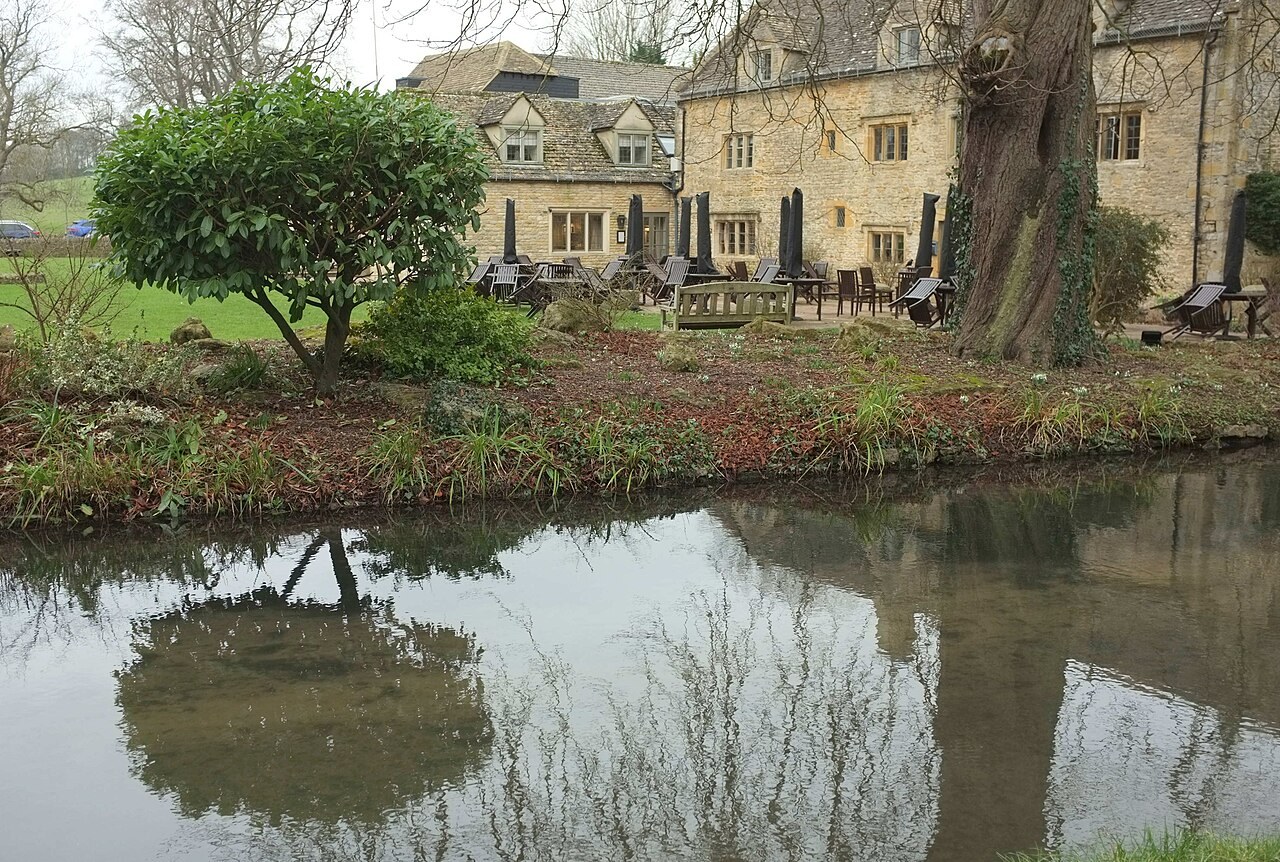
Cotswold Charm
Lower Slaughter
A tranquil riverside settlement of honey-coloured limestone, waterwheels, and ancient footbridges.
- Best for
- Peaceful walks and architectural photography
- Give it
- A slow afternoon of wandering
- Don't miss
- The red-brick mill and the River Eye ford
Photo: Derek Harper · CC BY-SA 2.0 · cropped
The Fox verdict
A timeless riverside retreat
Lower Slaughter offers a serene escape from the busier Cotswold hubs.
Defined by the clear waters of the River Eye and a striking collection of 16th- and 17th-century limestone houses, the village is a masterclass in English rural aesthetics. From the unique red-brick contrast of the old mill to the quiet dignity of St Mary's Church, it provides a sense of peace that draws visitors back repeatedly.
Your picks, your pace
Make Lower Slaughter yours
Choose a mood or build your own list. Your saved stops are an ordering aid, with a direct map route when you are ready.
Local signatures
3 placesThe Slaughters Manor House
Built in 1656 by mason Valentine Strong, this house is notable for its separately listed dovecote with twenty-seven tiers of nesting boxes.
- Visit length
- Editorial estimate: around 60 minutes
- Locality
- short walk from centre
Lower Slaughter Village Hall
An 1887 reading room converted into a village hall, hosting rotating local art exhibitions.
- Visit length
- Editorial estimate: around 45 minutes
- Locality
- riverside
- Access
- Exhibitions are seasonal; check local visitor information before travel.
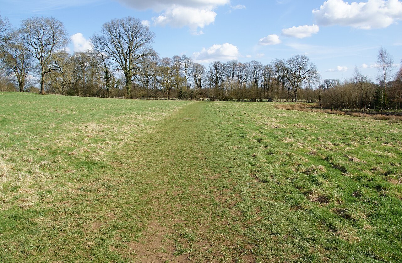
The Wardens' Way
A 14-mile waymarked route connecting Winchcombe and Bourton-on-the-Water via several picturesque villages.
- Visit length
- Editorial estimate: around 120 minutes
- Locality
- passing through village
Food & drink
1 place
The Slaughters Country Inn
A traditional inn featuring seasonal British dining, log fires, and lawns that run down to the water's edge.
- Visit length
- Editorial estimate: around 90 minutes
- Locality
- by the river
- Access
- Dogs are welcome in the grounds and designated bedrooms, but not in the main restaurant or lounges.
History & heritage
1 place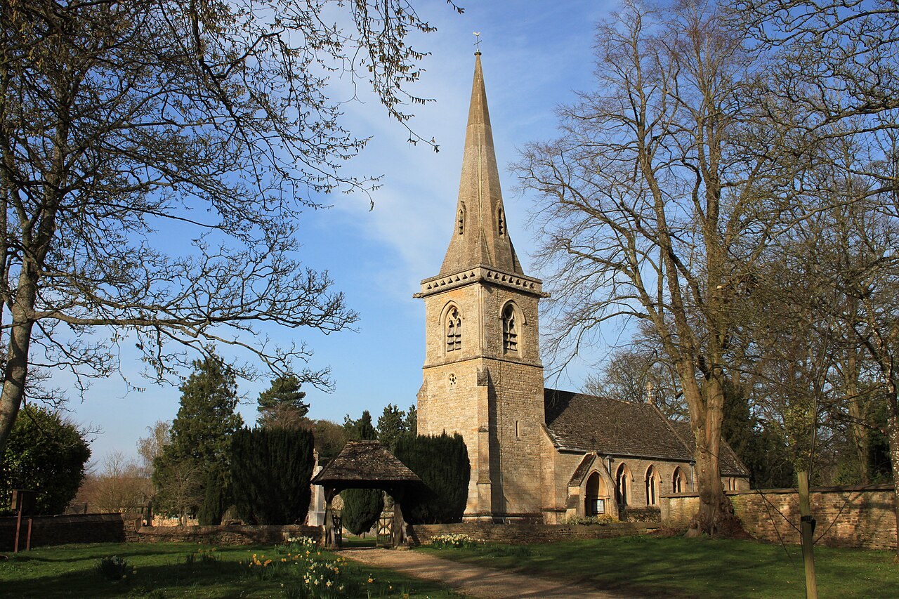
Church of St Mary
A Grade II* church rebuilt in 1867, retaining a rare 12th or 13th-century Transitional Norman north arcade with scalloped capitals.
- Visit length
- Editorial estimate: around 45 minutes
- Locality
- village centre
No places match this filter. Choose All places to reset the list.
On the map
Lower Slaughter at a glance
Tap a marker to jump to its guide card.
Three ways to explore Lower Slaughter
Signature outings
Seasonal British Fare
Enjoy beer-battered fish and chips or a beef burger on the riverside lawns of The Slaughters Country Inn.
Norman Architecture
Admire the 12th-century scalloped capitals of the north arcade within the Church of St Mary.
The Wardens' Way
Follow this 14-mile route to discover the linked beauty of Lower and Upper Slaughter.
The village story
Lower Slaughter Village Guide
A sanctuary of limestone and water in the heart of the Cotswolds.
Riverside Architecture
The River Eye runs straight down the middle of Lower Slaughter, shallow and clear, crossed by a ford and a line of low stone footbridges. The houses on both banks are mostly 16th- and 17th-century Cotswold limestone, with mullioned windows and projecting gables, many of them standing along the water. At the western end the picture turns to red brick: a mill with its waterwheel, chimney and millrace still in place, the only large brick building in the village.
The Slaughters Country Inn sits by the river with log fires inside and lawns running down to the water. Its lunch menu is British and seasonal — beer-battered fish and chips with crushed peas and tartare, a beef burger with bacon and mature cheddar, pan-seared cod with a spiced fishcake and garlic hollandaise, lamb rump with a potato-and-beetroot gratin. From April to September a Field Kitchen runs in the garden, weather permitting.
Dining and Hospitality
Dogs are welcome in the grounds and in designated bedrooms, though not in the main restaurant or lounges; assistance dogs go everywhere. Adam Silcox is head chef, and reception keeps board games, cards, croquet and French boules. The site was formerly Washbourne's Place, named for the family who held it in 1470; three farmworkers' cottages became the present inn after Andrew and Christina Brownsword bought it in 2011.
The Slaughters Manor House, a short walk off, is a hotel dining room, not a pub, where Nik Chappell cooks Omelette Arnold Bennett, ham-hock rarebit on a crumpet and Lake District hogget.
Walking the Cotswolds
The Wardens' Way, fourteen miles between Winchcombe and Bourton-on-the-Water, passes through the village past Upper Slaughter, Naunton and Guiting Power. Another route runs the mile and a half to Bourton-on-the-Water, thirty to forty minutes on foot by tarmac path, road and pavement, with a controlled crossing of the A429. Upper Slaughter is closer, about three-quarters of a mile upstream to its ford and St Peter's Church.
The Church of St Mary was almost entirely rebuilt in 1867 by Benjamin Ferrey, though its Transitional Norman north arcade survived — three cylindrical piers with scalloped capitals, late 12th or early 13th century. Inside are a tub font, a Clayton & Bell window, an alabaster reredos and the Whitmore family's ledgers and brasses. It is Grade II*.
Sacred and Civic Spaces
The name has nothing to do with killing. It is generally derived from an Old English element meaning slough or muddy place, possibly referring to local wet ground. Domesday recorded the village as Sclostre, with thirty-two households and two mills worth thirteen shillings and twopence; the manor was worth £27 a year to its lord.
The Manor House was built in 1656 by the mason Valentine Strong; its separately listed dovecote is lined entirely with nesting boxes rising as many as twenty-seven tiers into six gables. The village hall, put up in 1887 as a reading room for men and youths, holds rotating art and craft exhibitions between Easter and early autumn.
Origins and Access
The nearest station is Moreton-in-Marsh, about seven miles by road, where the inn suggests booking a taxi ahead. Otherwise you come in on minor roads off the A429, or by an on-demand bus that has to be booked rather than caught.
The travel writer David Ross has come back many times, and wrote that he has always left with a sense of peace.
Stay around Cotswolds
Make a longer stay of it
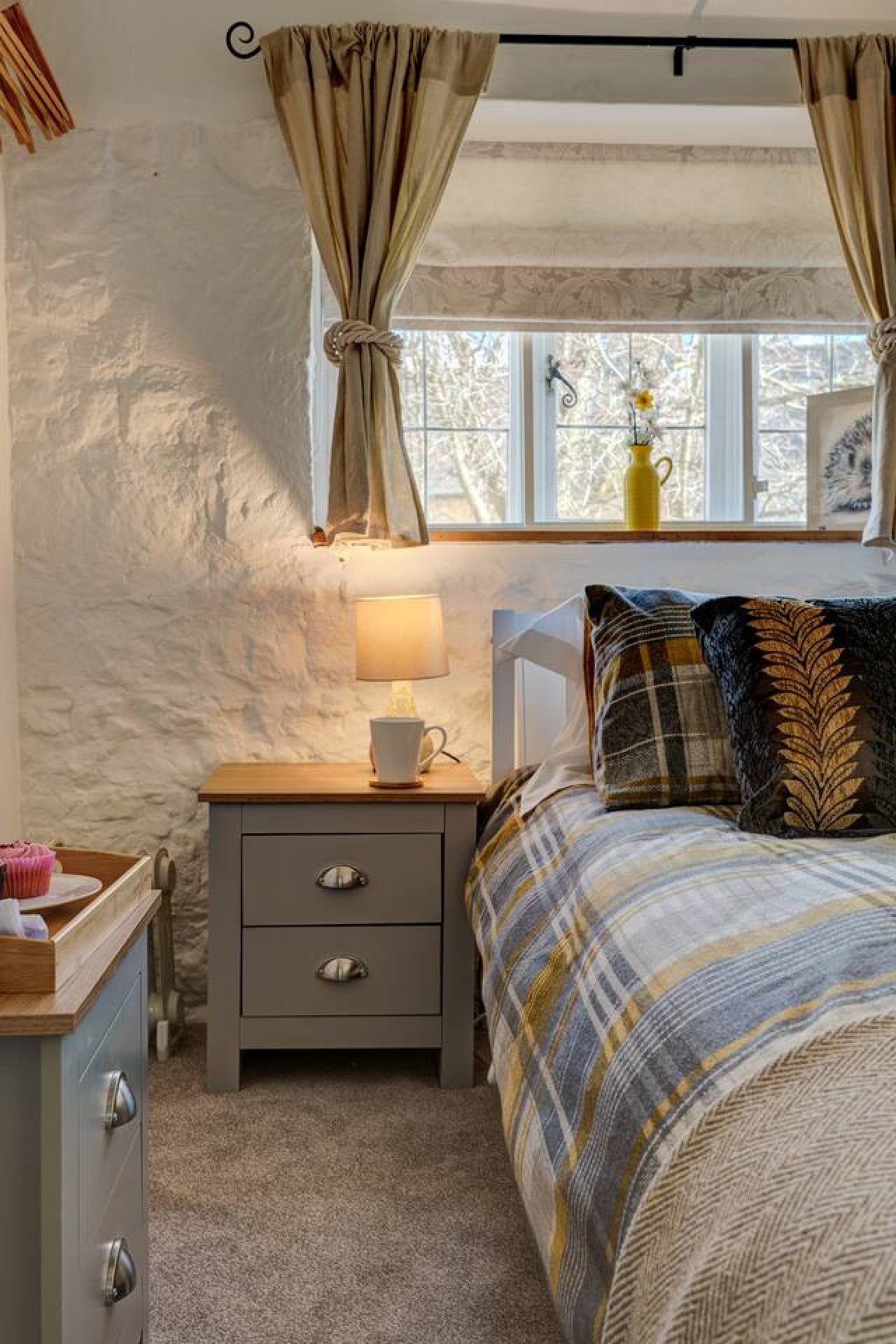
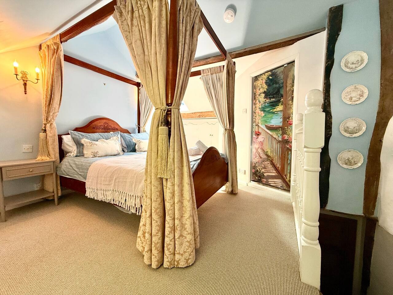
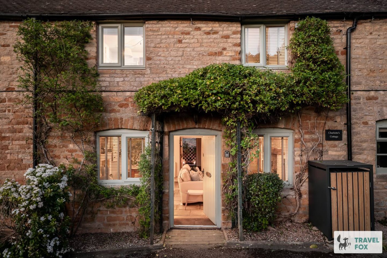
Travel Fox holiday homes around Cotswolds, linked directly to their property pages.
For homeowners
Own a holiday home near Lower Slaughter?
We manage holiday lets across the Cotswolds from 12% commission, charged after cleaning costs, with no lock-in. A co-founder visits before you decide.
Holiday let management in the Cotswolds →
A guide with a point of view
Written from research. Edited for real journeys.
Use the Official site links for live practical details, then use this guide for context, ideas and room to explore.
Photography credits & licences
Third-party photographs are credited to their named creators and reused under the linked Creative Commons licence or public-domain dedication. Travel Fox stores an optimised local copy; the file-specific changes and any browser-applied display crop are disclosed below. Reused photographs link both to the Wikimedia Commons source record and to the declared source image; Travel Fox's own photographs carry no such record and are marked as ours. These image licences do not cover Travel Fox text, branding or page design.
- File:Slaughters Country Inn, Lower Slaughter - geograph.org.uk - 7726790.jpg — photograph by Derek Harper; Slaughters Country Inn, Lower Slaughter by Derek Harper. Source record on Wikimedia Commons. Declared source image. Licence: CC BY-SA 2.0. File changes: Downloaded from Wikimedia Commons, resized to a maximum 1920px edge and encoded as an optimised JPEG. Display changes: Displayed with responsive CSS cropping.
- File:St Marys church in Lower Slaughter (geograph 3907498).jpg — photograph by Roger Davies; Roger Davies. Source record on Wikimedia Commons. Declared source image. Licence: CC BY-SA 2.0. File changes: Downloaded from Wikimedia Commons, resized to a maximum 1920px edge and encoded as an optimised JPEG. Display changes: Displayed with responsive CSS cropping.
- File:The Warden's Way between Upper and Lower Slaughter - geograph.org.uk - 1812496.jpg — photograph by Bill Boaden; The Warden's Way between Upper and Lower Slaughter by Bill Boaden. Source record on Wikimedia Commons. Declared source image. Licence: CC BY-SA 2.0. File changes: Downloaded from Wikimedia Commons, resized to a maximum 1920px edge and encoded as an optimised JPEG. Display changes: Displayed with responsive CSS cropping.