
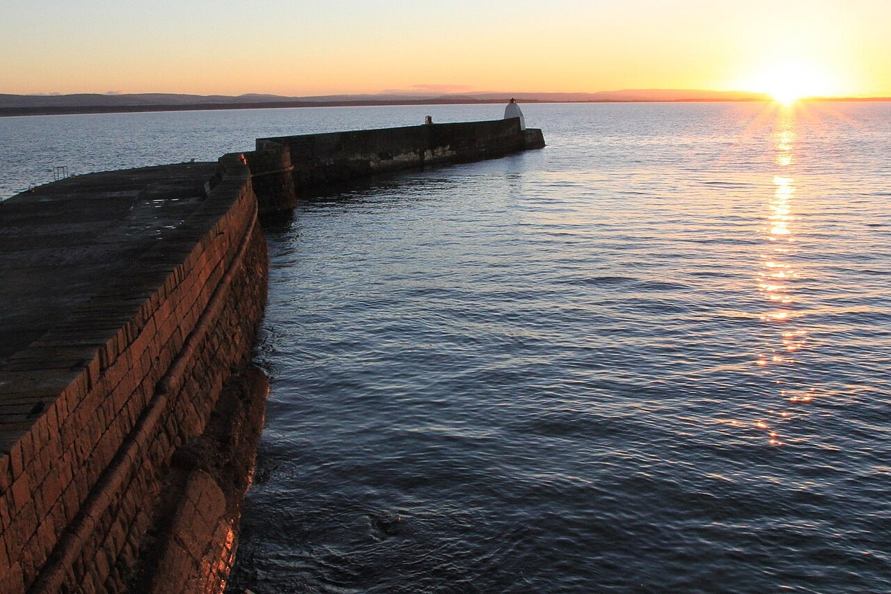
Pictish stronghold by the Moray Firth
Burghead
A sea-wrapped peninsula where grassy fort ramparts, a chambered well and a working harbour meet the Moray coast.
- Best for
- Pictish history, coast walking and wildlife watching
- Give it
- A headland visit with time for the coast
- Don't miss
- Two original Burghead Bulls in the visitor centre
Photo: Alan Hodgson · CC BY-SA 2.0 · cropped
The Fox verdict
The likely capital of Fortriu at the edge of the sea
Burghead brings a remarkable early-medieval stronghold, old harbour industry and long coastal views together on one sea-bound peninsula.
Come for the fort ramparts and the mysterious chambered well, where stone steps descend to a stone tank, then follow the old railway towards Hopeman or turn to the long sands of Burghead Bay. The visitor centre connects the headland to the surviving Burghead Bulls, while the harbour and the Burning of the Clavie tell the Broch's later story.
Where to go
Places in Burghead
Every place below is checked against a published source, listed with what it is and how long to give it.
Local signatures
3 placesBurghead Visitor Centre
A former coastguard lookout presenting Burghead's story from about 400 AD to the present, with two original Burghead Bulls and coverage of the Pictish fort and Dark Age Well.
- Visit length
- Editorial estimate: Allow around 45 minutes.
- Locality
- on the headland
- Access
- Open in summer.
Burghead Well
A Dark Age chambered well where stone steps descend to a stone tank; interpretations have ranged from a Christian baptistery to a Pictish water-spirit shrine.
- Visit length
- Editorial estimate: Allow around 30 minutes.
- Locality
- Burghead
Moray Coast Trail to Hopeman
A coastal walk along a former railway line, passing beneath stone-arched bridges and beside gorse, rock formations, small caves and the beaches at Cummingston.
- Visit length
- Editorial estimate: Allow around 90 minutes one way.
- Locality
- between Burghead and Hopeman
Food & drink
2 placesThe Harbour Inn
A traditional family-run inn serving home-cooked bar meals, including fish and chips, chicken curry, burgers and homemade chips; it is also one of the pubs presented with Clavie embers for luck.
- Visit length
- Editorial estimate: Allow around 75 minutes.
- Locality
- Granary Street beside the harbour
- Access
- Meals need to be booked in advance.
The Bothy Bistro
An independent family-friendly bistro and café with an in-house bakery, using local Moray ingredients and serving daily specials including vegetarian dishes and locally caught seafood.
- Visit length
- Editorial estimate: Allow around 60 minutes.
- Locality
- 16 Grant Street
- Access
- Operates seasonally.
History & heritage
2 placesBurghead Fort and Doorie Hill
The surviving headland ramparts of a fort reputed to have been Scotland's largest Pictish stronghold, likely the capital of Fortriu; Doorie Hill marks its surviving southern rampart.
- Visit length
- Editorial estimate: Allow around 60 minutes.
- Locality
- on the headland
Burghead Harbour
Thomas Telford's early-19th-century harbour, backed by three surviving tall three-storey stone warehouses; its construction destroyed much of the fort's landward defences.
- Visit length
- Editorial estimate: Allow around 40 minutes.
- Locality
- Burghead Harbour
Things to do
1 placeBurghead Bay and Beach
A long sandy beach for families where low tide exposes peat beds, tree trunks, roots and branches from a submerged forest probably around 7,000 years old.
- Visit length
- Editorial estimate: Allow around 75 minutes.
- Locality
- south-west of Burghead
- Access
- The submerged forest is exposed at low tide.
No places match this filter. Choose All places to reset the list.
Three ways to explore Burghead
Signature outings
A capital written in earth
Follow the grassy ramparts of the fort reputed to have been Scotland's largest Pictish stronghold, with Doorie Hill marking the surviving southern rampart.
Trees beneath the tide
At low tide, look for peat beds, trunks, roots and branches from the submerged forest on Burghead Bay's long sandy beach.
Telford and the warehouses
See the early-19th-century harbour and the three surviving tall stone warehouses that stand behind it.
The village story
Burghead: Picts, fire and the Moray Firth
Food, fortifications and old rituals meet on a peninsula that Brochers simply call the Broch.
The Harbour Inn
The Harbour Inn sits on Granary Street beside the harbour, and if you want to eat there you book ahead. The fish and chips come in a batter reviewers describe as very light and delicate, the chips are homemade, and the chicken curry has a following. Thursday is Steak Night. There are five en-suite rooms upstairs and Sky and BT sports on in the bar. It is one of three pubs the Clavie Crew hands smouldering embers to for luck each January.
From Grant Street to the headland
The Bothy Bistro on Grant Street bakes its own bread and cakes and grinds its own coffee, working from local Moray ingredients and whatever seafood has come in. It runs seasonally.
Burghead sits on a peninsula pushing north-west into the Moray Firth, sea on three sides, about eight miles from Elgin. Locally it is the Broch and the people are Brochers. At the point stands a white circular building — a former coastguard lookout, now the visitor centre — and it is a good place to stand and watch for dolphins and whales, which turn up along this coast regularly.
Old rails and Pictish earth
The Moray Coast Trail runs east from Burghead towards Hopeman along an old railway line, under stone-arched bridges and past gorse, small caves and the beaches at Cummingston. In the other direction Burghead Bay curves away to the south-west, long and sandy. At low tide it gives up a submerged forest — tree trunks, roots and branches in the peat, from when the sea stood much lower, around 7,000 years ago.
The headland is capped by the grassy ramparts of what was reputedly the largest Pictish fort in Scotland, the likely capital of Fortriu, occupied from the late 300s until Viking raiders burned it in the tenth century. When Telford's harbour was built in the early 1800s, up to thirty stone panels carved with bulls were dug out of the site. Most were built into the quay wall and lost, but six survive, two of them in the visitor centre.
The Clavie burns
Every 11 January a tar-filled barrel is set alight at 6pm on Granary Street and carried clockwise through the old town on the shoulders of the Clavie Crew — about fifteen men, all native-born Brochers — then left to burn out on a stone altar on Doorie Hill. Embers are gathered and posted to exiled Brochers around the world. It has been cancelled twice in living memory, in 1945 and 2020. "We've kept it pure despite the pressures of the modern world," says the Clavie King, Dan Ralph.
Malt, rail and village memory
The maltings on the edge of town turn out around 85,000 tonnes of malted barley a year, roughly a fifth of Scotland's output. The nearest trains are at Elgin, nine miles off on the Aberdeen–Inverness line, with the Stagecoach 32 in via Duffus. The primary school on Grant Street has three houses, named Clavie, St Aethans and Torfness.
Stay around Moray
Make a longer stay of it
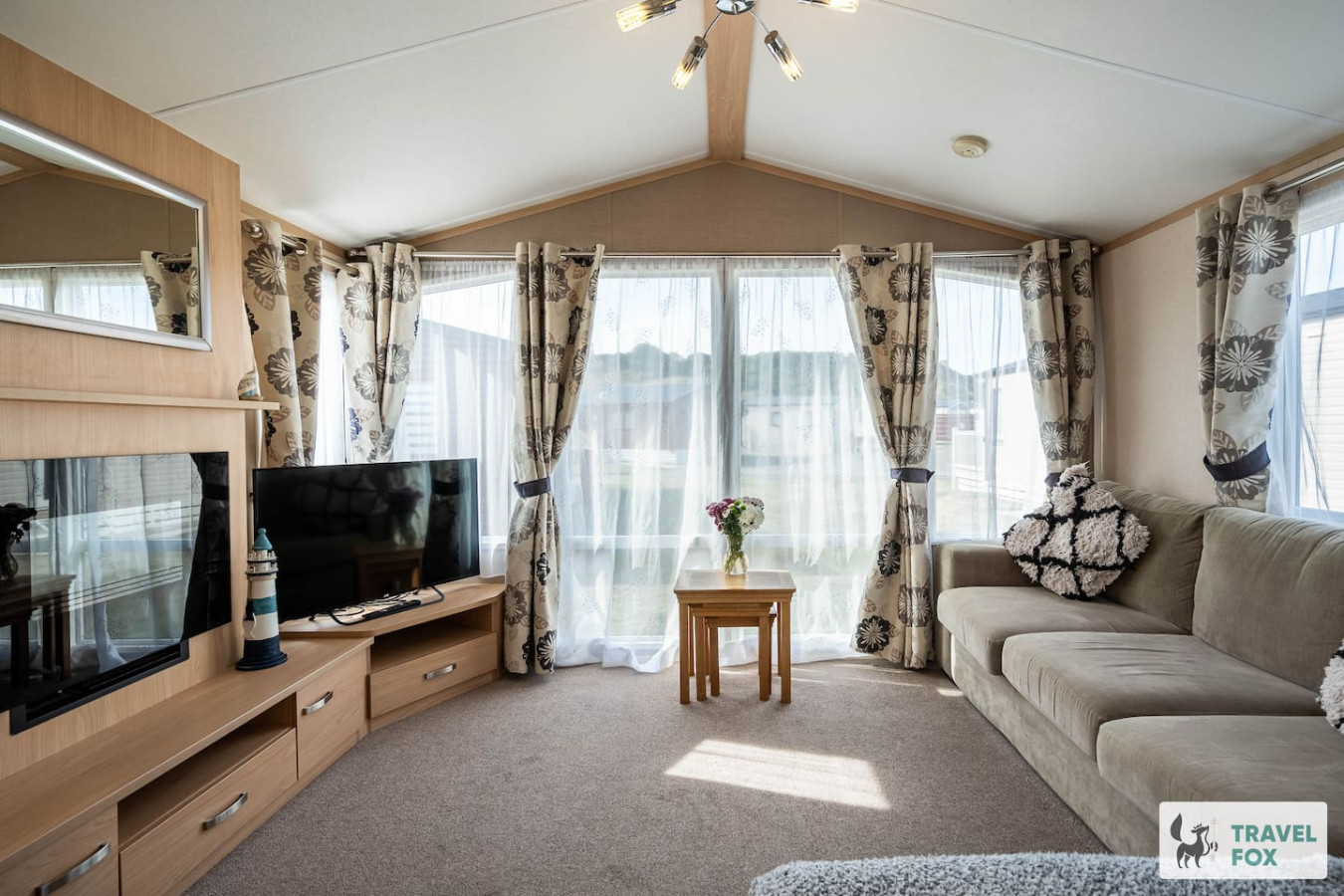
Travel Fox holiday homes around Moray, linked directly to their property pages.
For homeowners
Own a holiday home near Burghead?
We manage holiday lets across the UK from 12% commission, charged after cleaning costs, with no lock-in. A co-founder visits before you decide.
How our holiday let management works →
A guide with a point of view
Written from research. Edited for real journeys.
Use the Official site links for live practical details, then use this guide for context, ideas and room to explore.
Photography credits & licences
Third-party photographs are credited to their named creators and reused under the linked Creative Commons licence or public-domain dedication. Travel Fox stores an optimised local copy; the file-specific changes and any browser-applied display crop are disclosed below. Reused photographs link both to the Wikimedia Commons source record and to the declared source image; Travel Fox's own photographs carry no such record and are marked as ours. These image licences do not cover Travel Fox text, branding or page design.
- File:Burghead Harbour - geograph.org.uk - 3233661.jpg — photograph by Alan Hodgson; Burghead Harbour by Alan Hodgson. Source record on Wikimedia Commons. Declared source image. Licence: CC BY-SA 2.0. File changes: Downloaded from Wikimedia Commons, resized to a maximum 1920px edge and encoded as an optimised JPEG. Display changes: Displayed with responsive CSS cropping.
Sources
Every place on this page is checked against a published source. Each entry links the record we used and names who publishes it.
- Burghead Visitor Centre — burghead.com operator, sector body or destination organisation
- Burghead Fort and Doorie Hill — burghead.com operator, sector body or destination organisation
- Burghead Well — historicenvironment.scot statutory register or public authority record not machine-readable; publisher restricts automated access
- Burghead Bay and Beach — burghead.com operator, sector body or destination organisation
- Moray Coast Trail to Hopeman — morayways.org.uk operator, sector body or destination organisation
- Burghead Harbour — secure.moray.gov.uk statutory register or public authority
- The Harbour Inn — harbourinnburghead.co.uk operator, sector body or destination organisation
- The Bothy Bistro — thebothy.co.uk operator, sector body or destination organisation