
Quiet Eskdale
Boot
A valley-head village where a seven-mile narrow-gauge railway meets waterfall walks, high fells and remote Roman history.
- Best for
- Quiet-valley walks, railway journeys and Roman history
- Give it
- A full day, with longer set aside for Scafell Pike
- Don't miss
- Stanley Ghyll Force and Hardknott Roman Fort
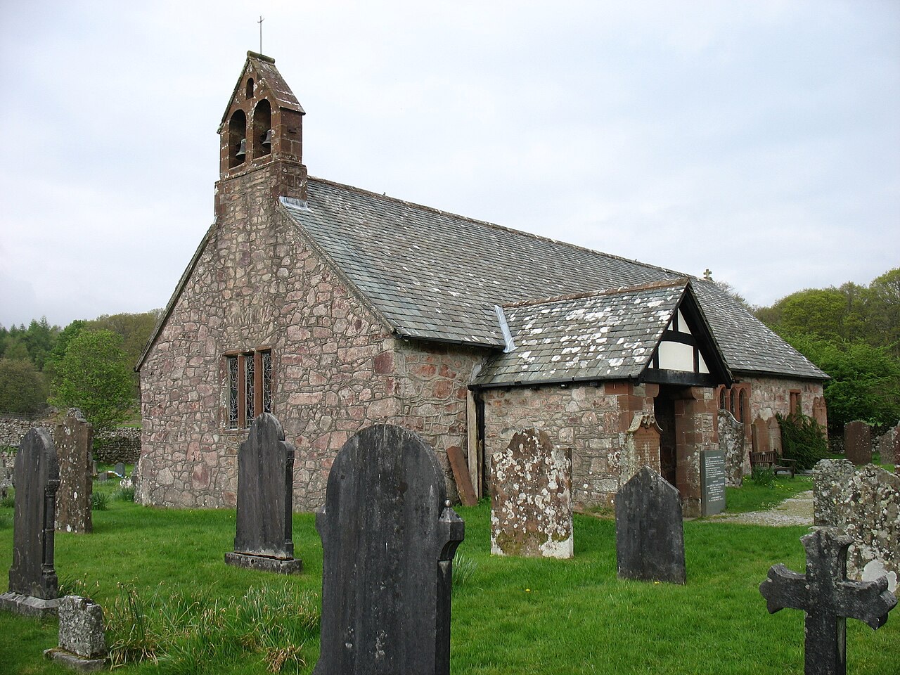
Photo: David Purchase · CC BY-SA 2.0 · cropped
The Fox verdict
For travellers who want the Lake District at its quietest
Boot combines valley-scale scenery with a walkers' pub, a seasonal railway terminus and direct access to short and long routes.
Come for the La'al Ratty and a walk towards Stanley Ghyll Force; stay for the River Esk, the high fells and the surviving Roman remains above Hardknott Pass. Dalegarth Station cafe and the riverside setting at St Catherine's Church make rewarding stopping points in a village whose appeal is the landscape around it.
Where to go
Places in Boot
Every place below is checked against a published source, listed with what it is and how long to give it.
Local signatures
3 placesDalegarth Station and the La'al Ratty
Dalegarth for Boot is the terminus of the seven-mile narrow-gauge railway from Ravenglass. The station has a café for arrivals and walkers.
- Visit length
- Editorial estimate: Allow around 90 minutes for the station and railway experience
- Locality
- Dalegarth station, a short walk from Boot
- Access
- The railway service is seasonal; check the Official site before travel.
Stanley Ghyll Force
A 60ft waterfall dropping into a deep, narrow gorge, with rhododendrons growing on the high ledges.
- Visit length
- Editorial estimate: Allow around 105 minutes for the walk and waterfall
- Locality
- Stanley Ghyll, reached on foot from Boot
- Access
- The path to the lower falls is closed because of rockfall. Check the Lake District National Park access notice and use only open paths.
Scafell Pike via Eskdale
The long Eskdale approach follows the River Esk before the final ascent of the 978m Scafell Pike.
- Visit length
- Editorial estimate: Allow a full day for this long mountain route
- Locality
- approached through Eskdale
- Access
- The linked Scafell Pike via Cam Spout route is 11 miles; check the route and conditions before setting out.
History & heritage
2 placesHardknott Roman Fort
A remote Roman fort built between AD 120 and 138, where the parade ground and bath-house walls survive.
- Visit length
- Editorial estimate: Allow around 60 minutes to explore the remains
- Locality
- Hardknott Pass, east of Boot
- Access
- Hardknott Pass has severe gradients and is unsuitable for caravans or large vehicles.
St Catherine's Church
A remote 14th-century church on the River Esk, replacing a 12th-century chapel and associated with a much older holy-well tradition.
- Visit length
- Editorial estimate: Allow around 40 minutes for the church and riverside setting
- Locality
- Dalegarth, beside the River Esk near Boot
No places match this filter. Choose All places to reset the list.
Three ways to explore Boot
Signature outings
Find Stanley Ghyll Force
Follow open paths towards Stanley Ghyll; check the lower-falls restriction before visiting.
Explore the Roman walls
See the surviving parade ground and bath-house walls at one of Roman Britain's most remote forts.
Reach St Catherine's
Visit the isolated church on the bank of the River Esk, where a chapel was established around 1125.
The village story
Boot at the Head of Eskdale
Railway, pub, gorge, high fells and Roman stone: the accepted guide follows the features that make this remote valley village work.
The Inn at the Railhead
The Boot Inn sits a short walk from the end of a narrow-gauge railway line, so a train arrival can still lead naturally to the pub. This is the Ravenglass & Eskdale Railway, known locally as the La'al Ratty, and it has been running the seven miles up from the coast since 1875. The inn is the valley's main pub, and on most days it is full of walkers.
Inside there's a bar with a log fire, or a conservatory with views up the valley if the weather is doing something worth looking at. The kitchen offers Sunday roasts all day, a daily specials board and a lunchtime sandwich menu. There are cask ales too. It is the sort of place designed around people who have been outside all day and intend to go back out tomorrow.
Village Stops and Valley Scale
The station at Dalegarth has a café, which is convenient if you have just watched the train arrive and decided you would rather have tea than get on it.
Boot is at the head of Eskdale, one of the quietest valleys in the Lake District. The River Esk rises on the flanks of Scafell Pike and runs down through it. Scafell Pike stands to the north at 978 metres, Harter Fell to the south at 649, and the whole thing has the feel of a valley that most of the Lake District's crowds never quite reach.
Waterfall and High Fell
A short walk from Boot leads towards Stanley Ghyll Force, a 60-foot waterfall dropping into a deep, narrow gorge. The path to the lower falls is closed because of rockfall, so check the National Park access notice and follow open paths. Rhododendrons grow on the high ledges, which gives the place an oddly subtropical look for somewhere in west Cumbria. If you want the long version of everything, the Scafell Pike route via Cam Spout is 11 miles, the quietest and longest of the main routes up, following the river most of the way before the climb.
The Road to Roman Hardknott
Getting here is part of the character. There is no bus. You come by the La'al Ratty, seasonally, or you drive — either along the coastal road from Ravenglass, or over Hardknott Pass from Ambleside, one of England's steepest roads at a 30 per cent gradient and no place for a caravan. Above the Eskdale end of the pass sits Hardknott Roman Fort, built between AD 120 and 138 and known to the Romans as Mediobogdum. The parade ground and the bath house walls are still standing. It was one of the most remote postings in Roman Britain, and looking at where it is, you can see why nobody has ever argued the point.
St Catherine's Beside the Esk
St Catherine's Church sits apart from the village, on the bank of the River Esk. A chapel was built here around 1125, and there was said to be a hermit's well on the site long before that. It is one of the most remote churches in England, which in a valley like this is a competitive field.
Stay around Lake District
Make a longer stay of it
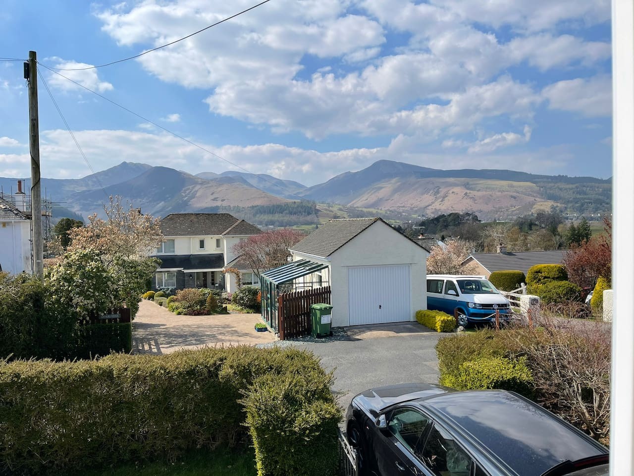
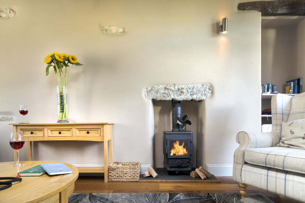
Travel Fox holiday homes around Lake District, linked directly to their property pages.
For homeowners
Own a holiday home near Boot?
We manage holiday lets across the Lake District from 12% commission, charged after cleaning costs, with no lock-in. A co-founder visits before you decide.
Holiday let management in the Lake District →
A guide with a point of view
Written from research. Edited for real journeys.
Use the Official site links for live practical details, then use this guide for context, ideas and room to explore.
Photography credits & licences
Third-party photographs are credited to their named creators and reused under the linked Creative Commons licence or public-domain dedication. Travel Fox stores an optimised local copy; the file-specific changes and any browser-applied display crop are disclosed below. Reused photographs link both to the Wikimedia Commons source record and to the declared source image; Travel Fox's own photographs carry no such record and are marked as ours. These image licences do not cover Travel Fox text, branding or page design.
- File:St Catherine's church, Boot, Eskdale - geograph.org.uk - 4020619.jpg — photograph by David Purchase; St Catherine's church, Boot, Eskdale by David Purchase. Source record on Wikimedia Commons. Declared source image. Licence: CC BY-SA 2.0. File changes: Downloaded from Wikimedia Commons, resized to a maximum 1920px edge and encoded as an optimised JPEG. Display changes: Displayed with responsive CSS cropping.
Sources
Every place on this page is checked against a published source. Each entry links the record we used and names who publishes it.
- Dalegarth Station and the La'al Ratty — visitlakedistrict.com operator, sector body or destination organisation
- Stanley Ghyll Force — lakedistrict.gov.uk statutory register or public authority
- Scafell Pike via Eskdale — visitlakedistrict.com operator, sector body or destination organisation
- Hardknott Roman Fort — english-heritage.org.uk national body or asset manager
- St Catherine's Church — historicengland.org.uk statutory register or public authority record not machine-readable; publisher restricts automated access