
The road ends. The fells begin.
Seathwaite (Borrowdale)
A tiny Borrowdale hamlet where the single-track road gives way to high-fell paths beside Grains Gill.
- Best for
- High-fell walks from the head of Borrowdale
- Give it
- A full day for a summit route
- Don't miss
- The Grains Gill path towards Sprinkling Tarn
The Fox verdict
Come for the paths beyond the road
Seathwaite is less a village centre than a launch point into Borrowdale's highest country.
The appeal is concentrated and uncompromising: a farm road-end, basic honesty-box provisions and direct walking lines beside Grains Gill into the high fells. Rosthwaite and Stonethwaite provide the closest food and drink.
Where to go
Places in Seathwaite (Borrowdale)
Every place below is checked against a published source, listed with what it is and how long to give it.
Local signatures
3 placesLangstrath Country Inn
A pub in Stonethwaite, about 2.0 miles from Seathwaite in a straight line.
- Visit length
- Editorial estimate: Allow around one hour
- Locality
- Stonethwaite
Stockley Bridge
Stockley Bridge is a waypoint on the walking route from Seathwaite Farm towards Scafell Pike via Sty Head and the Corridor Route.
- Visit length
- Editorial estimate: Allow around 30 minutes
- Locality
- On the fell path south of Seathwaite
Great Gable
Great Gable is one of Borrowdale's most celebrated fells and can be approached on foot from Seathwaite.
- Visit length
- Editorial estimate: Allow a full day
- Locality
- High fells above Seathwaite
Food & drink
1 placeFlock-In
A café-food stop in Rosthwaite, one of the nearest places for refreshments outside Seathwaite.
- Visit length
- Editorial estimate: Allow around 45 minutes
- Locality
- Rosthwaite
Walks & outdoors
1 placeSprinkling Tarn
Reach Sprinkling Tarn from Seathwaite by the upland path beside Grains Gill.
- Visit length
- Editorial estimate: Allow around three and a half hours
- Locality
- High fells above Seathwaite
No places match this filter. Choose All places to reset the list.
Three ways to explore Seathwaite (Borrowdale)
Signature outings
Stockley Bridge
Follow the path beyond Seathwaite Farm to Stockley Bridge, a waypoint on the route towards Scafell Pike via Sty Head and the Corridor Route.
Reach Sprinkling Tarn
Take the upland path from Seathwaite beside Grains Gill to reach Sprinkling Tarn and the high fells.
Flock-In
Head to Rosthwaite for cafe food at Flock-In, one of the nearest refreshment stops outside Seathwaite.
The village story
Seathwaite: beyond the end of the road
At Borrowdale's road-end, high paths, heavy rain and a graphite story give this tiny hamlet an outsized identity.
Where the road runs out
The single-track road up Borrowdale from Keswick simply stops at Seathwaite Farm. There is no through road, no roundabout, no gesture towards continuing — the tarmac ends at a cluster of farm buildings, and beyond that you walk. This is the head of the valley, eight miles south of Keswick, hemmed in by Great Gable, Scafell Pike and the Seathwaite Fells.
Seathwaite itself is a few farm buildings and a campsite, and that is the whole of it. There is no pub, no church, and no shop. What Seathwaite Farm keeps for walkers is an honesty box with basic provisions, which is the extent of the retail economy. For an actual pint, the Scafell Hotel in Rosthwaite is about 2.3 miles from Seathwaite in a straight line. The Flock-In café is also in Rosthwaite, about 2.2 miles away; the Langstrath Country Inn in Stonethwaite is about 2.0 miles away. Road journeys are longer. The nearest church is at Rosthwaite too.
Paths into the high fells
The reason people come is on foot. Seathwaite Farm is the Borrowdale start for Scafell Pike, at 978 metres the highest mountain in England; the route runs via Stockley Bridge, Sty Head and the Corridor Route, nine miles in total and considered one of the finest ways up. Great Gable, 899 metres and one of the most celebrated fells in England, goes off the same path via Sty Head. Grains Gill offers an alternative line up to Sprinkling Tarn and the high fells. Sty Head Tarn sits above the hamlet, the point where the Scafell Pike, Great Gable and Corridor routes converge.
Closer to home is Taylorgill Force, a 140-foot (43-metre) waterfall — one of the tallest in the Lake District — reached on the path towards Sty Head. The River Derwent rises somewhere above all this.
Rain without apology
It rains. Seathwaite averages 3,552 millimetres a year, 140 inches, which makes it the wettest inhabited place in England. This is stated as fact on the tourist literature rather than apologised for.
Wad and the pencil trade
The other distinction is older. Before 1565 a deposit of solid graphite was found here — "wad", or black cawke — pure enough to be sawn into sticks, and it led directly to the pencil industry in Keswick. The stuff was valuable enough that Parliament passed an Act making the theft of wad a capital offence, later softened to seven years' transportation. The mine was flooded and worked on and off, and the last significant graphite came out in the early nineteenth century.
The last leg into Seathwaite
There is no railway and no regular bus, though the seasonal Borrowdale Rambler, the 78/79, stops at Seatoller, about 1.3 miles from Seathwaite in a straight line. You reach the valley on the B5289 from Keswick, which narrows to a single track before it gives up at the farm. After that, it is you and the honesty box.
Stay around Lake District
Make a longer stay of it
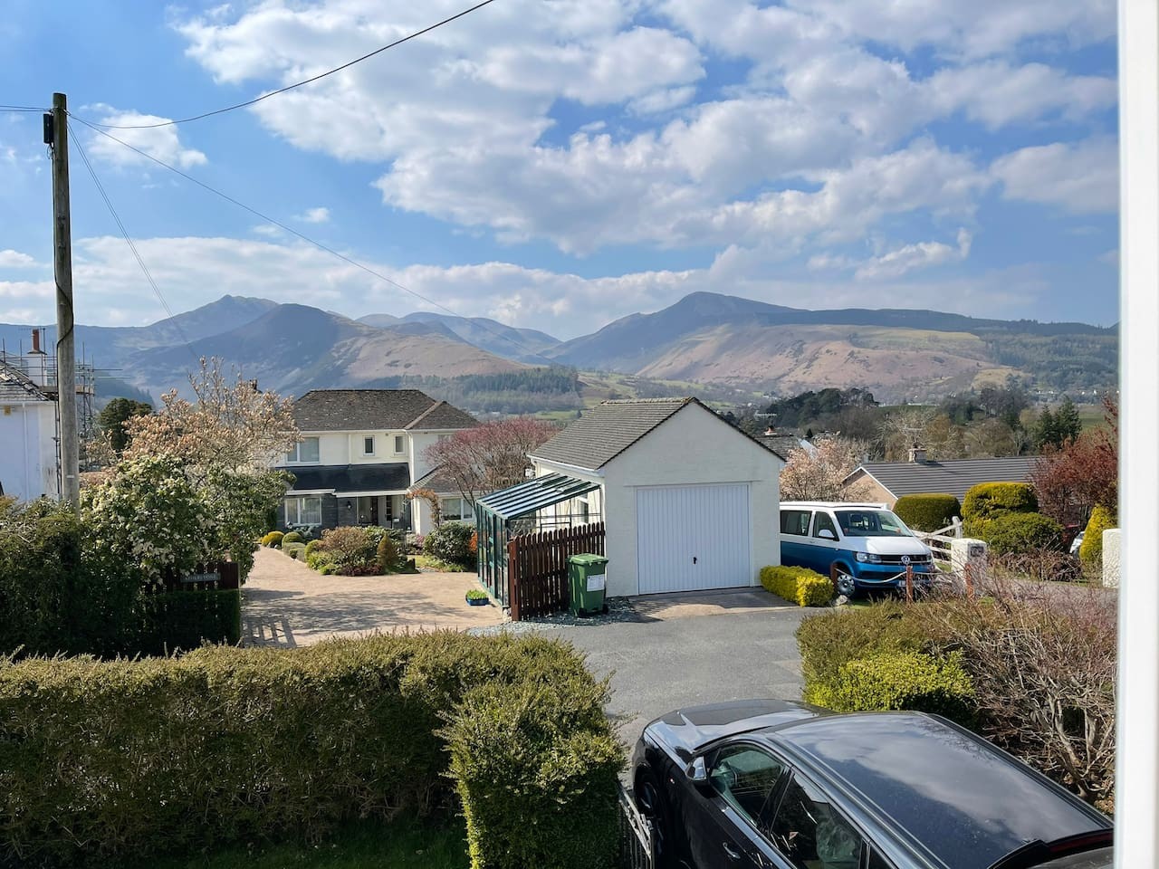
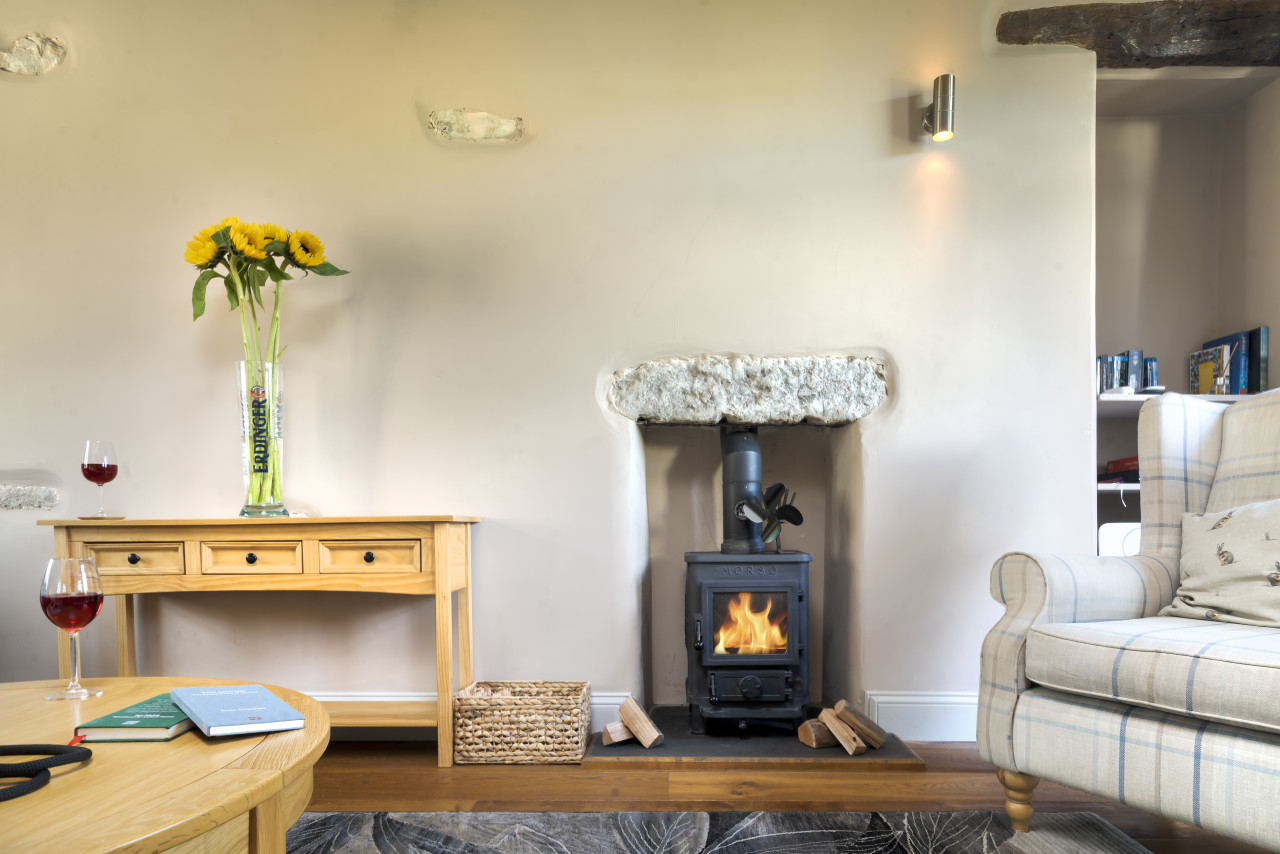
Travel Fox holiday homes around Lake District, linked directly to their property pages.
For homeowners
Own a holiday home near Seathwaite (Borrowdale)?
We manage holiday lets across the Lake District from 12% commission, charged after cleaning costs, with no lock-in. A co-founder visits before you decide.
Holiday let management in the Lake District →
A guide with a point of view
Written from research. Edited for real journeys.
Use the Official site links for live practical details, then use this guide for context, ideas and room to explore.
Sources
Every place on this page is checked against a published source. Each entry links the record we used and names who publishes it.
- Sprinkling Tarn — keswick.org other published source
- Flock-In — find-and-update.company-information.service.gov.uk statutory register or public authority
- Langstrath Country Inn — thelangstrath.co.uk operator, sector body or destination organisation
- Stockley Bridge — historicengland.org.uk statutory register or public authority record not machine-readable; publisher restricts automated access
- Great Gable — visitlakedistrict.com operator, sector body or destination organisation