
Borrowdale at road's end
Stonethwaite
A tiny, atmospheric hamlet where a single-track lane gives way to paths into Langstrath and the high fells.
- Best for
- Remote valley walking
- Give it
- A half day on foot
- Don't miss
- The fell view from the inn's beer garden
The Fox verdict
Come for the road-end stillness
Stonethwaite is a compact base for Langstrath, Greenup Gill and a well-earned stop at its historic inn.
This is one of the Lake District's most isolated and atmospheric hamlets: Sergeant's Crag and Greenup Gill rise around it, and the walking continues where the lane stops.
Where to go
Places in Stonethwaite
Every place below is checked against a published source, listed with what it is and how long to give it.
Local signatures
3 placesThe Langstrath Country Inn
A small traditional inn in a former miners' cottage dating to around 1590, with an open fire, homemade food and a beer garden facing the fells.
- Visit length
- Editorial estimate: Allow around 1 hour
- Locality
- At the end of the lane in Stonethwaite
- Access
- Stonethwaite has no regular bus; the single-track approach has no through road.
Greenup Gill and Lining Crag
A fell route climbing Greenup Gill past Lining Crag before crossing Greenup Edge to connect Borrowdale with Grasmere.
- Visit length
- Editorial estimate: Allow around 3 hours
- Locality
- On the route between Borrowdale and Grasmere
- Access
- Stonethwaite has no railway or regular bus, and its approach road is single-track.
Coast to Coast Walk
Alfred Wainwright's cross-country route passes directly through Stonethwaite, where walkers regularly break their journey.
- Visit length
- Editorial estimate: Allow around 1 hour 15 minutes for a local stretch
- Locality
- Passing through Stonethwaite
- Access
- There is no railway or regular bus at Stonethwaite.
Walks & outdoors
2 placesSergeant's Crag
One of the fells surrounding Stonethwaite.
- Visit length
- Editorial estimate: Allow around 45 minutes
- Locality
- Above the Langstrath valley south of Stonethwaite
Langstrath Valley
A remote Borrowdale side valley extending south from Stonethwaite towards Sergeant's Crag, Eagle Crag and Stake Pass.
- Visit length
- Editorial estimate: Allow around 1 hour 30 minutes for a valley walk
- Locality
- South of Stonethwaite
- Access
- The route continues beyond the end of the single-track lane on valley paths.
No places match this filter. Choose All places to reset the list.
Three ways to explore Stonethwaite
Signature outings
The valley beyond Stonethwaite
Follow the valley path south from Stonethwaite into remote Langstrath, where the beck and surrounding fells define this dramatic side valley of Borrowdale.
The Coast to Coast
Follow the long-distance trail through Stonethwaite on its route between St Bees and Robin Hood's Bay.
Sergeant's Crag
Follow the remote Langstrath valley south towards Sergeant's Crag and the walking country above Stonethwaite.
The village story
At the end of the Borrowdale road
Seven untouched paragraphs trace Stonethwaite from its dead-end lane and mining-era inn to the fell paths that keep walkers coming.
Where the lane ends
The single-track lane from Rosthwaite runs for about a mile and then stops. It stops at the Langstrath Country Inn, because there is nowhere else for it to go — no through road, no continuation, just the pub, the beck, and the fells closing in behind. Stonethwaite is what happens at the end of the road.
The hamlet sits in the Langstrath valley, east of the main Borrowdale valley, with Stonethwaite Beck running through to join the River Derwent back at Rosthwaite. Eagle Crag, Sergeant's Crag and Greenup Gill stand around it. It is one of the most isolated and atmospheric places in the Lake District, which is a phrase that gets used loosely, but here the road really does dead-end and the map really does run out of names.
From miners' cottage to country inn
The Langstrath Inn started as a miners' cottage around 1590, when the Langstrath valley had enough mining to justify the building. It was called Dove Cottage first, then Langstrath Cottage, then a B&B at the start of the twentieth century, and it expanded considerably after the war. The bar is small and traditional with an open fire. There are two changing ales — Tractor Shed or Tirril — and eleven en-suite bedrooms above.
The kitchen does homemade steak and ale pie, beer-battered haddock, an 8oz beef burger or the vegan Moving Mountain version, and a Cumberland farmhouse cheese plate. Lunch runs noon to four. The beer garden looks straight out at the surrounding fells, and dogs get one dog-friendly room with a fenced garden. It is, by most reckonings, one of the most isolated pubs in the Lake District. There is no church here — the nearest are at Rosthwaite or Grange-in-Borrowdale — and no shop either, so Rosthwaite a mile away is where you go for anything the inn doesn't provide.
Valley paths and the Coast to Coast
The walking is why most people come. Behind the village the Langstrath valley leads south past Sergeant's Crag and Eagle Crag towards Stake Pass, one of the more dramatic side valleys in Borrowdale and remote in a way that a mile of single-track lane only begins to prepare you for. Another route climbs Greenup Gill past Lining Crag and over Greenup Edge to drop down into Grasmere.
That last one is a version of Alfred Wainwright's Coast to Coast Walk, which passes directly through Stonethwaite on its 190 miles from St Bees to Robin Hood's Bay. Walkers reach here on about Day 4 or 5 and tend to stop overnight, which is a large part of why an eleven-bedroom inn survives at the end of a lane that goes nowhere.
One road in, one road out
There is no railway and no regular bus. You come by car, down the single-track lane, and you leave the same way, because there is only the one way. In the evening the bar fills with people who have walked all day and worked up an appetite, and the fire does the rest.
Stay around Lake District
Make a longer stay of it
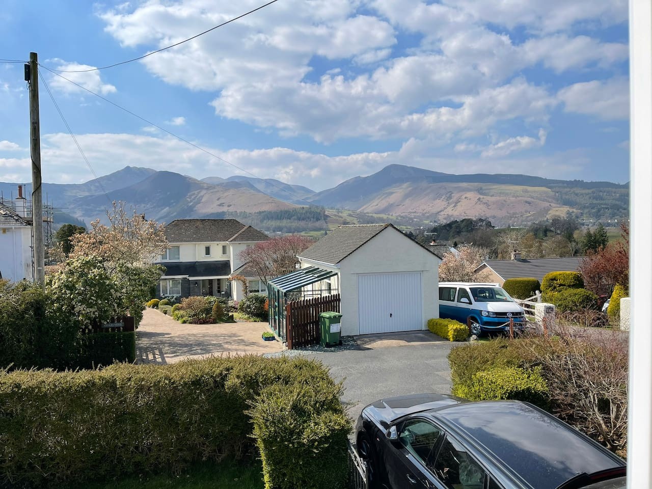
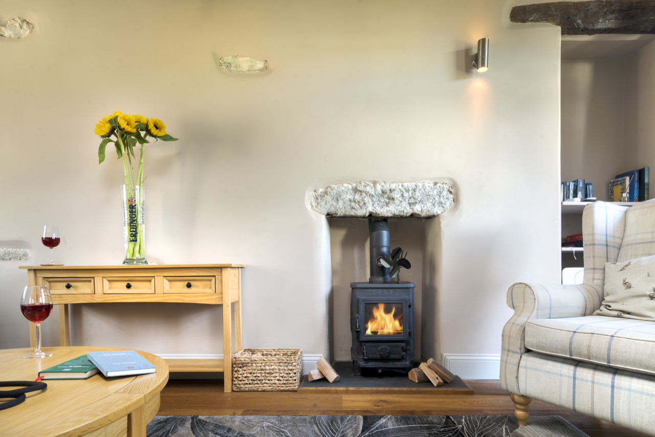
Travel Fox holiday homes around Lake District, linked directly to their property pages.
For homeowners
Own a holiday home near Stonethwaite?
We manage holiday lets across the Lake District from 12% commission, charged after cleaning costs, with no lock-in. A co-founder visits before you decide.
Holiday let management in the Lake District →
A guide with a point of view
Written from research. Edited for real journeys.
Use the Official site links for live practical details, then use this guide for context, ideas and room to explore.
Sources
Every place on this page is checked against a published source. Each entry links the record we used and names who publishes it.
- The Langstrath Country Inn — thelangstrath.co.uk operator, sector body or destination organisation
- Greenup Gill and Lining Crag — visitlakedistrict.com operator, sector body or destination organisation
- Coast to Coast Walk — gov.uk statutory register or public authority
- Sergeant's Crag — walklakes.co.uk other published source
- Langstrath Valley — visitlakedistrict.com operator, sector body or destination organisation