

Village stories, tidal horizons
Pentraeth
An Anglesey village where an eighteenth-century inn, Royal Charter history and routes to Red Wharf Bay meet.
- Best for
- Village history, pub meals and coastal walks
- Give it
- A village visit followed by time at Red Wharf Bay
- Don't miss
- The Royal Charter graves in St Mary's churchyard
Photo: Meirion · CC BY-SA 2.0 · cropped
The Fox verdict
A small village with a long memory and a wide bay
Pentraeth pairs an intimate village centre with pub history, a medieval church core and walking country that reaches the sands of Traeth Coch.
Start on The Square with St Mary's and the Panton Arms, then choose between the moderate circular walk and the Anglesey Coastal Path towards Red Wharf Bay. The Ship Inn adds a shoreside meal, while the churchyard's six Royal Charter graves give the village story unusual weight.
Where to go
Places in Pentraeth
Every place below is checked against a published source, listed with what it is and how long to give it.
Local signatures
3 placesThe Panton Arms
An eighteenth-century coaching inn with a long lounge bar and separate tap room, serving meals from light lunches to homemade pies, fish and chips, burgers and Sunday roasts.
- Visit length
- Editorial estimate: Allow around 75 minutes
- Locality
- The Square, Pentraeth
- Access
- Dogs are welcome.
Red Wharf Bay / Traeth Coch
A huge sandy bay where the tidal flats open eastward to the Irish Sea and low water exposes one of Anglesey's largest expanses of sand.
- Visit length
- Editorial estimate: Allow around 60 minutes
- Locality
- Red Wharf Bay coast, north-east of Pentraeth
- Access
- Beach walks and exploration across the exposed sands are low-tide activities.
Pentraeth Circular Walk
A 5.2-mile circular walk through woodland and open countryside, mostly flat with a climb to the forest edge and views over Red Wharf Bay.
- Visit length
- Editorial estimate: Allow around 150 minutes
- Locality
- Around Pentraeth village
Food & drink
1 placeThe Ship Inn, Red Wharf Bay
An eighteenth-century shoreside inn on the Anglesey Coastal Path, serving Welsh produce and Sunday lunches beside a garden overlooking Red Wharf Bay.
- Visit length
- Editorial estimate: Allow around 90 minutes
- Locality
- Red Wharf Bay, Llanfair-Mathafarn-Eithaf
- Access
- Dogs are welcome indoors and in the garden.
Walks & outdoors
1 placeAnglesey Coastal Path: Pentraeth Section
The shore route linking Pentraeth with Red Wharf Bay and Benllech, with the Ship Inn serving as a landmark stop on the path.
- Visit length
- Editorial estimate: Allow around 120 minutes
- Locality
- Between Pentraeth, Red Wharf Bay and Benllech
History & heritage
1 place
St Mary's Church
A predominantly late nineteenth-century church over a medieval core, with a porch piscina possibly made from a twelfth-century font bowl and six Royal Charter victims' graves in the churchyard.
- Visit length
- Editorial estimate: Allow around 45 minutes
- Locality
- The Square, Pentraeth
No places match this filter. Choose All places to reset the list.
Three ways to explore Pentraeth
Signature outings
A Shoreside Table
Eat at the Ship Inn beside Red Wharf Bay, with Welsh produce, Sunday lunches and garden views across the shore.
Six Lives Remembered
Find the six small graves of Royal Charter victims and the central stone erected in 1876 in St Mary's churchyard.
The Path to Traeth Coch
Walk the Anglesey Coastal Path as it links Pentraeth with Red Wharf Bay and continues along the shore to Benllech.
The village story
Pentraeth Village Guide
Coaching-inn stories, a churchyard shaped by shipwreck and a village path towards one of Anglesey's great tidal bays.
The Panton Arms, Dickens and Pokémon
On The Square between the church and war memorial, the Panton Arms occupies an eighteenth-century coaching inn. Its older side faces the church, while a Victorian addition faces the main road. Inside are a long lounge bar and separate tap room; meals, real ale and a garden make it a village stop. Dogs are welcome in the bar and garden.
Charles Dickens stayed here in 1859, having come up from London to report on the wreck of the Royal Charter off Moelfre. In August 2016 the landlord, Ed Griffiths, briefly renamed the pub the Pokémon Arms in honour of the younger customers using the WiFi to play Pokémon Go, with the Pokéstop and Poké-Gym sitting on the war memorial and the church across the road. For a while it hosted a Sunday-night tech club, Clwb Technoleg Môn, and ITN called it "an oasis of connectivity."
The Ship at Red Wharf Bay
About 1.7 miles in a straight line from Pentraeth village centre, the Ship Inn sits at Red Wharf Bay on the Anglesey Coastal Path; the road journey is longer. This eighteenth-century inn serves Welsh produce and Sunday lunches, welcomes dogs indoors, and has a garden overlooking the tidal flats. Low water exposes a broad sweep of sand and mud towards Benllech.
The Square, the Bus and the Circular Walk
Pentraeth gathers around The Square, with the Afon Nodwydd running towards the bay. The Cloth Hall began as a nineteenth-century general store and is now a row of shops. The Post Office is also a bus stop; route 62 links Pentraeth with Bangor and Amlwch. Pentraeth F.C. plays at Bryniau Field, while the 5.2-mile circular walk crosses open country and woodland, climbing to the forest edge for views over Red Wharf Bay.
Royal Charter Graves at St Mary's
St Mary's is mostly nineteenth century over a medieval core, rebuilt in 1882 by Henry Kennedy. In the churchyard are six small graves of Royal Charter victims washed ashore here, their headstones paid for by Lady Vivian of nearby Plas Gwyn. The central stone, put up in 1876, reads simply: "Near this stone lie buried six bodies which were washed ashore in this parish."
A Stone Basin in the Porch
The east wall of the porch holds a rough stone piscina, possibly the bowl of a twelfth-century font.
Stay around Anglesey
Make a longer stay of it
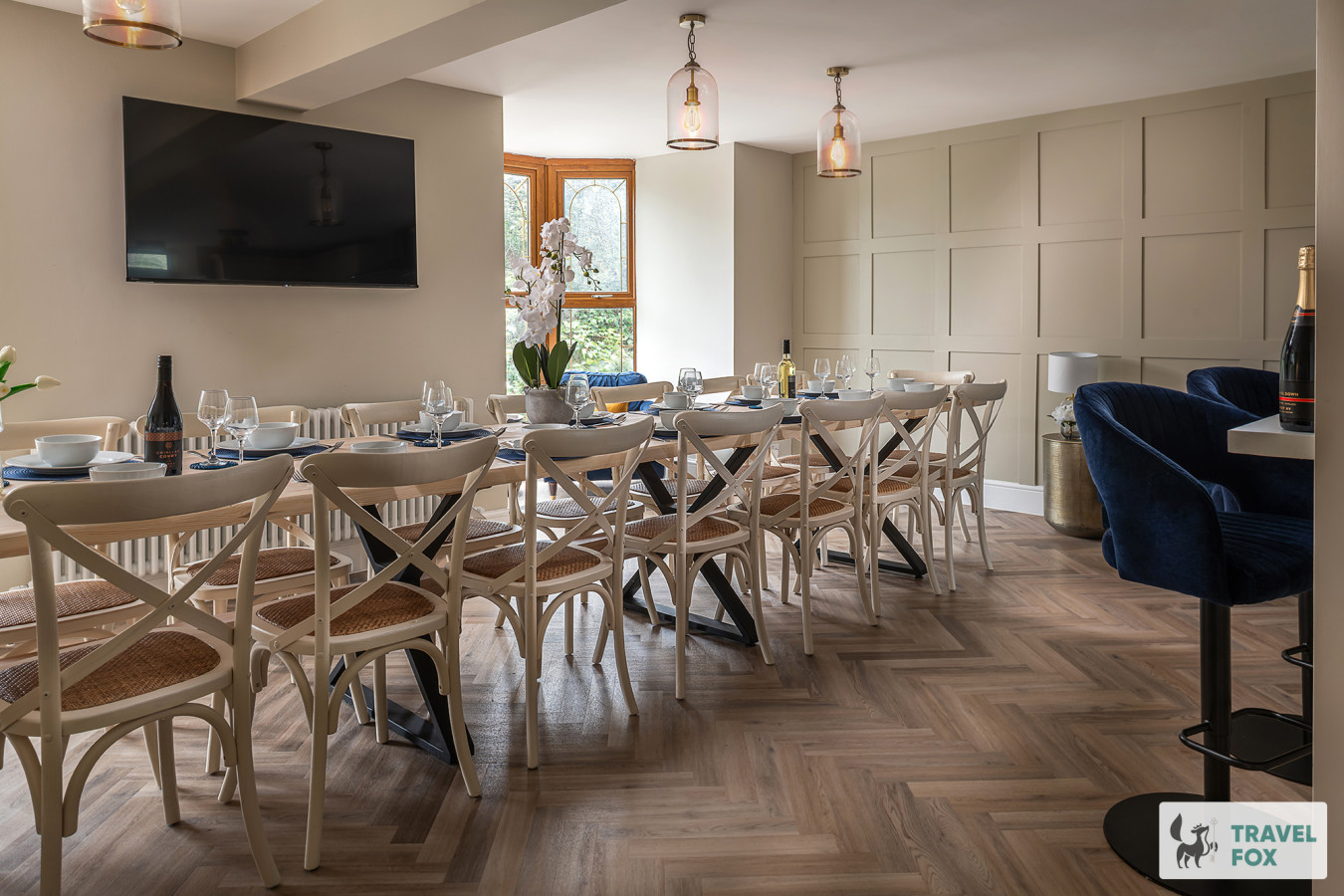
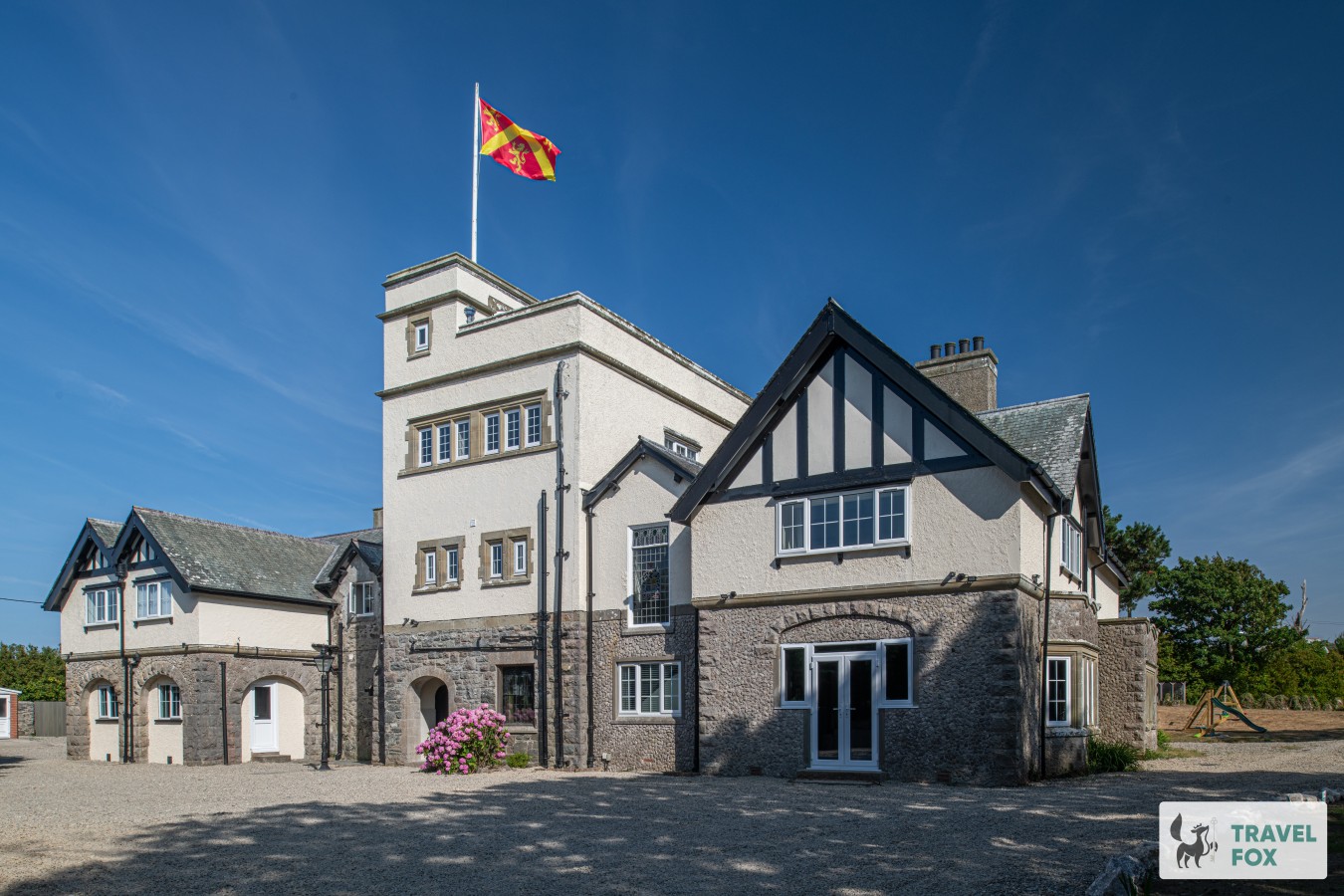
Travel Fox holiday homes around Anglesey, linked directly to their property pages.

For homeowners
Own a holiday home near Pentraeth?
We manage holiday lets across Anglesey from 12% commission, charged after cleaning costs, with no lock-in. A co-founder visits before you decide.
Holiday let management in Anglesey →
A guide with a point of view
Written from research. Edited for real journeys.
Use the Official site links for live practical details, then use this guide for context, ideas and room to explore.
Photography credits & licences
Third-party photographs are credited to their named creators and reused under the linked Creative Commons licence or public-domain dedication. Travel Fox stores an optimised local copy; the file-specific changes and any browser-applied display crop are disclosed below. Reused photographs link both to the Wikimedia Commons source record and to the declared source image; Travel Fox's own photographs carry no such record and are marked as ours. These image licences do not cover Travel Fox text, branding or page design.
- File:St Mary's church, Pentraeth - geograph.org.uk - 5680921.jpg — photograph by Meirion; St Mary's church, Pentraeth by Meirion. Source record on Wikimedia Commons. Declared source image. Licence: CC BY-SA 2.0. File changes: Downloaded from Wikimedia Commons, resized to a maximum 1920px edge and encoded as an optimised JPEG. Display changes: Displayed with responsive CSS cropping.
Sources
Every place on this page is checked against a published source. Each entry links the record we used and names who publishes it.
- The Panton Arms — camra.org.uk operator, sector body or destination organisation
- The Ship Inn, Red Wharf Bay — shipinnredwharfbay.co.uk operator, sector body or destination organisation
- St Mary's Church — cadwpublic-api.azurewebsites.net other published source
- Red Wharf Bay / Traeth Coch — visitanglesey.co.uk operator, sector body or destination organisation
- Pentraeth Circular Walk — visitanglesey.co.uk operator, sector body or destination organisation
- Anglesey Coastal Path: Pentraeth Section — visitanglesey.co.uk operator, sector body or destination organisation