
Stones beneath the fells
Castlerigg
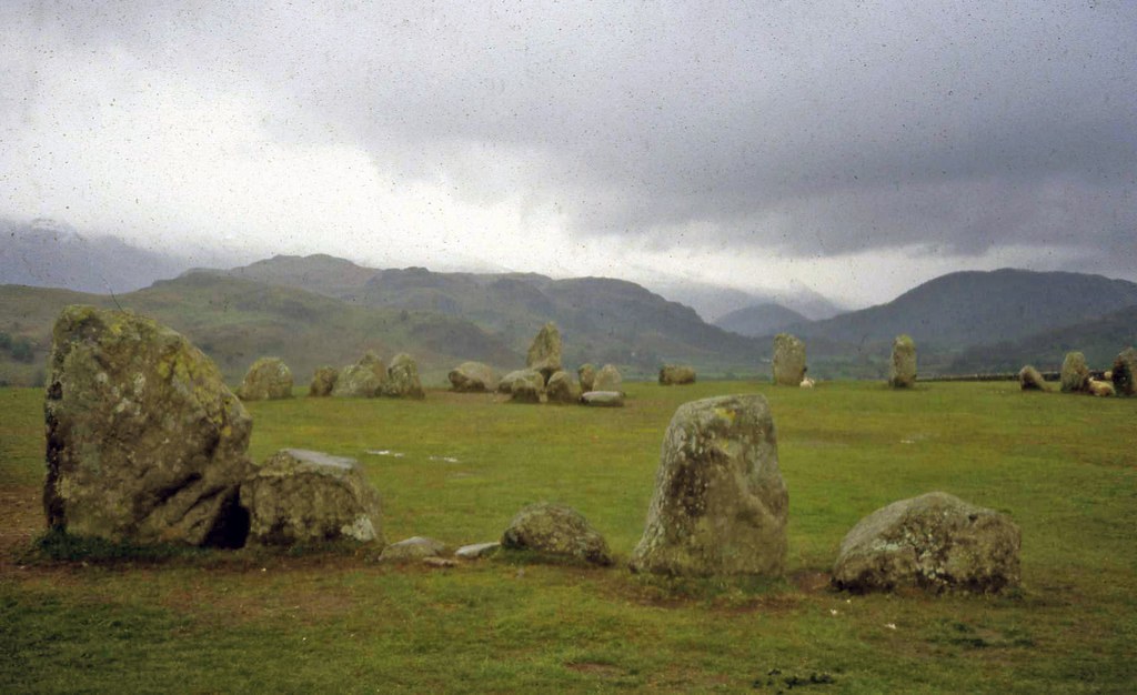
A Neolithic circle on an open plateau, with Skiddaw, Blencathra, Helvellyn and the surrounding fells on the horizon.
- Best for
- Prehistory, fell views and open-country walking
- Give it
- A circle visit or a longer fell walk
- Don't miss
- The rectangular stone setting inside the ring
Photo: Trevor Rickard · CC BY-SA 2.0 · cropped
The Fox verdict
One monument, an entire horizon
Castlerigg is a small hamlet and farming locality; the nearby stone circle and open fell country are the reasons to explore.
The late-Neolithic circle brings 38 standing stones, a roughly 30-metre ring and a rectangular internal setting together on a broad plateau about a mile from the hamlet. The surrounding views and separate walks in the Keswick area invite a longer stay.
Where to go
Places in Castlerigg
Every place below is checked against a published source, listed with what it is and how long to give it.
Local signatures
3 places
Start here
Castlerigg Stone Circle
A late-Neolithic ring of 38 standing stones, roughly 30 metres across, with a rectangular setting inside and panoramic fell views.
- Visit length
- Editorial estimate: allow around 45 minutes
- Locality
- on Castlerigg Fell, north-east of Castlerigg hamlet
- Access
- English Heritage gives the address as Castle Lane, Underskiddaw, Keswick, CA12 4RN; check its current access information before visiting.
Vale of Keswick
The wider valley landscape around Keswick, seen from the elevated country around Castlerigg.
- Visit length
- Editorial estimate: allow around 1 hour
- Locality
- the broad valley around Keswick
- Access
- Choose a published walk with a specific starting point before setting out.
Skiddaw
Skiddaw is visible in the fell panorama from the Castlerigg Stone Circle plateau; this card describes the view, not a summit walk.
- Visit length
- Editorial estimate: allow around 10 minutes to identify the fell from the stone-circle plateau.
- Locality
- a distant fell visible from the Castlerigg Stone Circle plateau
Walks & outdoors
2 placesHigh Rigg Ridge
A separate 5.2-mile circuit over High Rigg from the Legburthwaite start in St John's in the Vale, with views over Thirlmere and the surrounding fells.
- Visit length
- Editorial estimate: allow around 3 hours for the published 5.2-mile circuit.
- Locality
- St John's in the Vale, south-east of Castlerigg hamlet
- Access
- Keswick Tourism's High Rigg route starts at United Utilities Legburthwaite Car Park (grid reference NY318195); use its published directions and take care on steep sections.
Helvellyn
Helvellyn is visible in the fell panorama from the Castlerigg Stone Circle plateau; this card describes the view, not a summit walk.
- Visit length
- Editorial estimate: allow around 10 minutes to identify the fell from the stone-circle plateau.
- Locality
- a distant fell visible from the Castlerigg Stone Circle plateau
No places match this filter. Choose All places to reset the list.
Three ways to explore Castlerigg
Signature outings
Stones Beneath the Fells
Circle the 38 standing stones and look for the rectangular stone setting within the late-Neolithic ring.
High Rigg
Follow Keswick Tourism's separate 5.2-mile High Rigg circuit from United Utilities Legburthwaite Car Park in St John's in the Vale.
Helvellyn
Look towards Helvellyn from the Castlerigg Stone Circle plateau; this is a distant view rather than a summit walk.
The village story
Castlerigg: Stones in the Open Country
An ancient circle, a scattered farming locality and a horizon made by fells.
The Circle and Its Setting
Thirty-eight stones stand in a field east of Keswick, set in a rough circle about thirty metres across. They were put there around 3000 BC — roughly 4,500 years ago — and inside the ring is a rectangular setting of stones that appears nowhere else in Britain. This is Castlerigg Stone Circle, a little over 1.5 kilometres from Castlerigg hamlet.
Castlerigg is a small hamlet of scattered farms on the rural fringe east of Keswick. The stone circle sits separately on an open plateau to the north-east.
A Ring of Fells
From the plateau, the view opens out towards Skiddaw, Blencathra, Helvellyn, and the fells running the whole way round the horizon. It is one of the most dramatically sited stone circles in Britain, and it does not have to work hard at it.
The stones are free to visit during daylight hours. English Heritage looks after them, and there is no ticketed entry. It is the most visited stone circle in northern England, which on a quiet morning you can almost forget.
Stones, Sunrise and the Way In
In the mid-eighteenth century someone ploughed the surrounding ground and shifted at least one of the stones, which had stood undisturbed until agriculture caught up with it. A midwinter sunrise alignment has been proposed, though the people who set the stones left no note explaining themselves.
The Vale of Keswick spreads below the plateau. High Rigg is a separate walk in St John's in the Vale; Keswick Tourism starts its 5.2-mile circuit at Legburthwaite Car Park. From Castlerigg hamlet, the stone circle is about one mile away in a straight line, and the walking route is longer. Check current access and travel information before setting out.
A Visit Measured in Millennia
Most people walk out, go once around the ring, photograph the fells behind it, and head back into Keswick for lunch. The stones have watched them do it, in one form or another, for four and a half thousand years.
Stay around Lake District
Make a longer stay of it
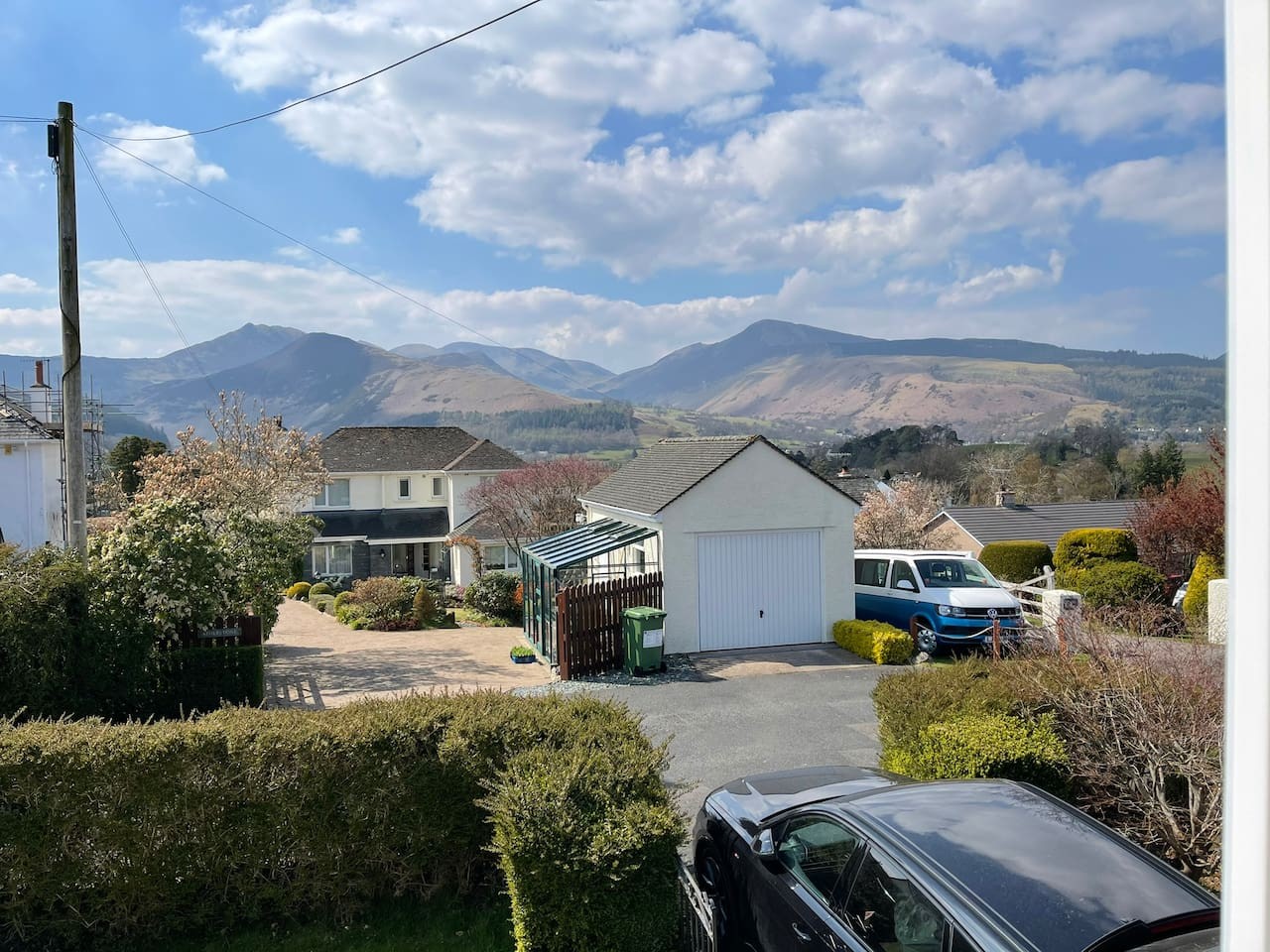
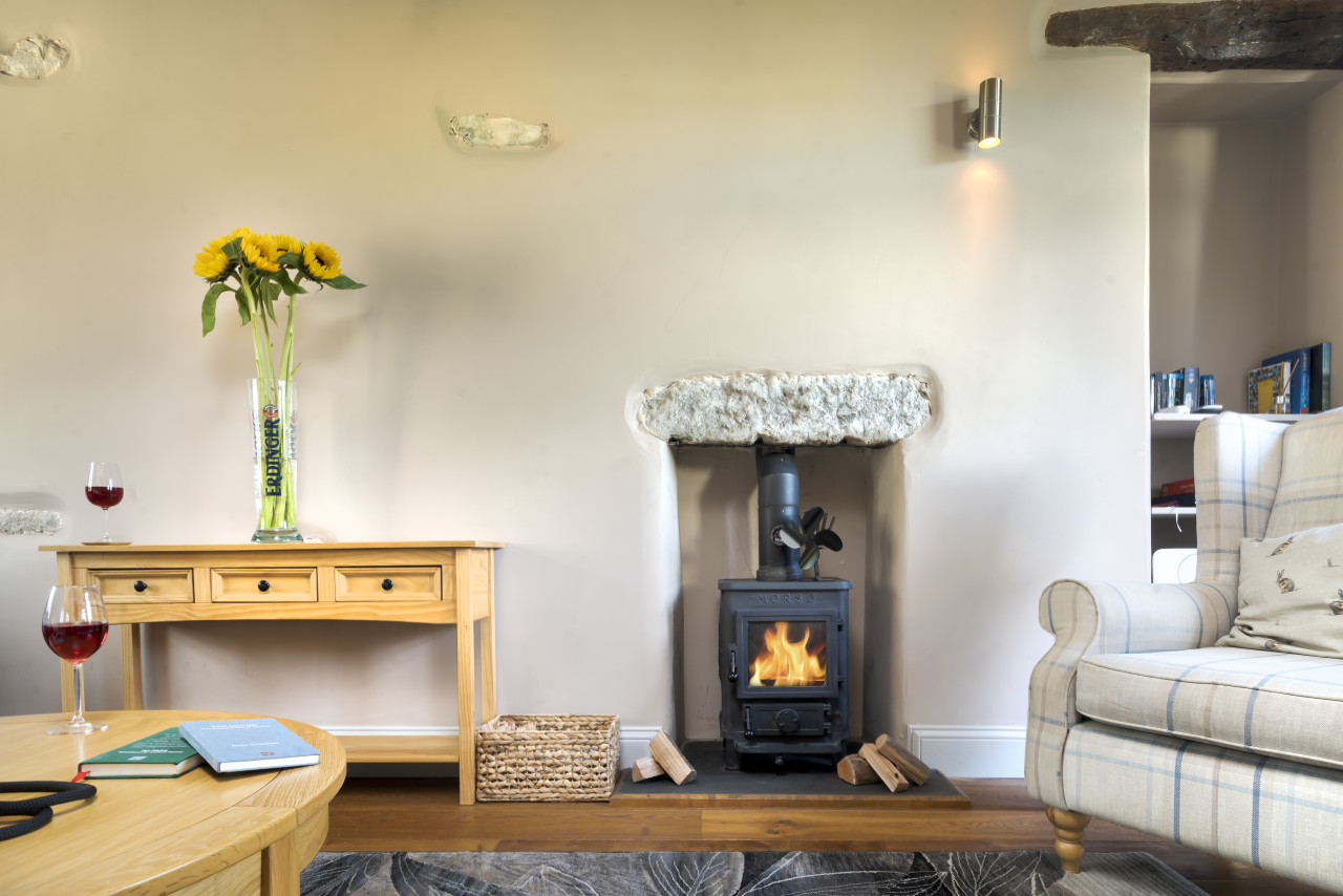
Travel Fox holiday homes around Lake District, linked directly to their property pages.
For homeowners
Own a holiday home near Castlerigg?
We manage holiday lets across the Lake District from 12% commission, charged after cleaning costs, with no lock-in. A co-founder visits before you decide.
Holiday let management in the Lake District →
A guide with a point of view
Written from research. Edited for real journeys.
Use the Official site links for live practical details, then use this guide for context, ideas and room to explore.
Photography credits & licences
Third-party photographs are credited to their named creators and reused under the linked Creative Commons licence or public-domain dedication. Travel Fox stores an optimised local copy; the file-specific changes and any browser-applied display crop are disclosed below. Reused photographs link both to the Wikimedia Commons source record and to the declared source image; Travel Fox's own photographs carry no such record and are marked as ours. These image licences do not cover Travel Fox text, branding or page design.
- File:Castlerigg Stone Circle - geograph.org.uk - 2402511.jpg — photograph by Trevor Rickard; Castlerigg Stone Circle by Trevor Rickard. Source record on Wikimedia Commons. Declared source image. Licence: CC BY-SA 2.0. File changes: Downloaded from Wikimedia Commons, resized to a maximum 1920px edge and encoded as an optimised JPEG. Display changes: Displayed with responsive CSS cropping.
Sources
Every place on this page is checked against a published source. Each entry links the record we used and names who publishes it.
- Castlerigg Stone Circle — english-heritage.org.uk national body or asset manager
- High Rigg Ridge — keswick.org other published source
- Vale of Keswick — artcollection.dcms.gov.uk statutory register or public authority
- Skiddaw — visitlakedistrict.com operator, sector body or destination organisation
- Helvellyn — keswick.org other published source