
Quiet Lyvennet country
Crosby Ravensworth
A small pastoral village for river-valley walking, open moorland, deep history and a community-owned pub.
- Best for
- Quiet walks and layers of history
- Give it
- A half day, or longer with a fell walk
- Don't miss
- Ewe Close's hut circles and field systems
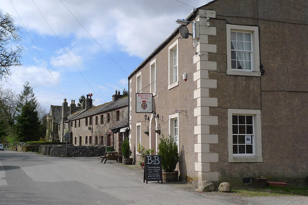
Photo: Rob Burke · CC BY-SA 2.0 · cropped
The Fox verdict
A quiet valley with unusually deep roots
Crosby Ravensworth rewards a deliberate visit for pastoral walking, moorland archaeology and an old village church.
The River Lyvennet gives the village its sheltered setting, while Crosby Ravensworth Fell opens the landscape into moorland. Ewe Close carries the story back through the Iron Age and Roman period; St Lawrence's Church and the community-owned Butchers Arms bring it back to village scale.
Where to go
Places in Crosby Ravensworth
Every place below is checked against a published source, listed with what it is and how long to give it.
Local signatures
3 placesSt Lawrence's Church
A Grade I church with late 12th- to early 13th-century origins, medieval crossing piers and arches, and a present appearance shaped by 19th-century rebuilding and restoration.
- Visit length
- Editorial estimate: Allow around 30 minutes
- Locality
- Crosby Ravensworth
Ewe Close Romano-British Settlement
A Scheduled settlement on the moor where enclosed stone hut circles and associated field systems preserve occupation from the Iron Age through the Roman period.
- Visit length
- Editorial estimate: Allow around 1 hour at the settlement, plus walking time
- Locality
- Ewe Close moorland, southwest of Crosby Ravensworth
Crosby Ravensworth Fell
An open moorland walk above the sheltered Lyvennet Valley, extending towards the M6 corridor.
- Visit length
- Editorial estimate: Allow around 1 hour 30 minutes
- Locality
- above Crosby Ravensworth
Food & drink
1 place
The Butchers Arms
A community-owned gastropub dating to 1773, brought back into village life by more than 300 shareholders and serving homemade food made with locally sourced Cumbrian ingredients.
- Visit length
- Editorial estimate: Allow around 1 hour 15 minutes
- Locality
- Crosby Ravensworth village centre
Walks & outdoors
1 placeLyvennet Valley Walk
Quiet river-valley walking through the sheltered pastoral landscape around Crosby Ravensworth.
- Visit length
- Editorial estimate: Allow around 1 hour 15 minutes
- Locality
- Lyvennet Valley at Crosby Ravensworth
No places match this filter. Choose All places to reset the list.
Three ways to explore Crosby Ravensworth
Signature outings
Walk the quiet valley
Trace the River Lyvennet through sheltered pastoral country around Crosby Ravensworth.
Lunch at the community pub
Take a table at the Butchers Arms, returned to village life by more than 300 community shareholders.
Find Ewe Close's hut circles
Look for the enclosed stone hut circles and field systems still legible across the moorland settlement.
The village story
The village that kept its pub
A story of community ownership, a quiet river valley, moorland archaeology and layers of church history.
The pub the village bought
The Butchers Arms has stood in the middle of Crosby Ravensworth since 1773, and by 2011 it had closed and was facing permanent closure. What saved it was over 300 people buying shares in it. The pub is now owned by the community that drinks in it — Lyvennet Community Pub Ltd — and run as a professional gastropub, which is a more organised outcome than most village rescue efforts manage.
The kitchen does steaks, burgers, vegetarian options, and a changing list of chef's specials, all built on Cumbrian ingredients from nearby. The Sunday lunch is the thing people come back for. On the taps you'll usually find beers from Appleby and Bowness Bay, poured to go with whatever the chef is running that week. CAMRA lists it, and it's remembered as one of the better community pub buyouts in Cumbria.
Beyond lunch, into the Lyvennet Valley
That is more or less the extent of the village's commerce. There are no shops. For anything beyond a pint and a Sunday roast you drive to Appleby-in-Westmorland or Shap.
The River Lyvennet runs through the village, and the valley it cuts is the reason to be here. It's quiet, sheltered, pastoral country in the Westmorland Fells extension of the Yorkshire Dales National Park, the sort of ground that gets walked over rather than driven to. Follow the river for gentle valley walking; climb out of it and you're onto Crosby Ravensworth Fell, open moorland that runs up toward the M6 corridor.
Hut circles and medieval arches
About 1.1 miles southwest of the village in a straight line is Ewe Close; a walking route is longer. It's a Romano-British settlement on the moor — enclosed stone hut circles with their field systems still legible in the grass, one of a cluster of similar sites at the head of the Lyvennet valley. It's a Scheduled Ancient Monument, occupied from the Iron Age through the Roman period, and the "Wicker Street" Roman road passes close by. People lived up there for centuries and then didn't, and the outlines are still there to read.
St Lawrence's Church is Grade I listed and has a long memory. Its origins are late twelfth to early thirteenth century, a cruciform church of some size, though what you see now is largely Victorian — partly rebuilt in 1811 and extensively restored around 1860. The crossing piers and arches still tell you how substantial the medieval building was.
An older cross and an intentional arrival
A medieval cross stump also stands in the churchyard. Its shaft retains Early English decoration despite the loss of its head.
Getting here takes a car and some intent. There's no railway and no regular bus, only minor roads in from the A6 at Shap or the B6260 from Appleby. That keeps the valley quiet, which is the point.
Back to the Butchers Arms
Come Sunday, the drive back down those minor roads is worth timing so you arrive at the Butchers Arms for lunch. It's the one warm room for miles, and the whole village owns a piece of it.
Stay around Lake District
Make a longer stay of it
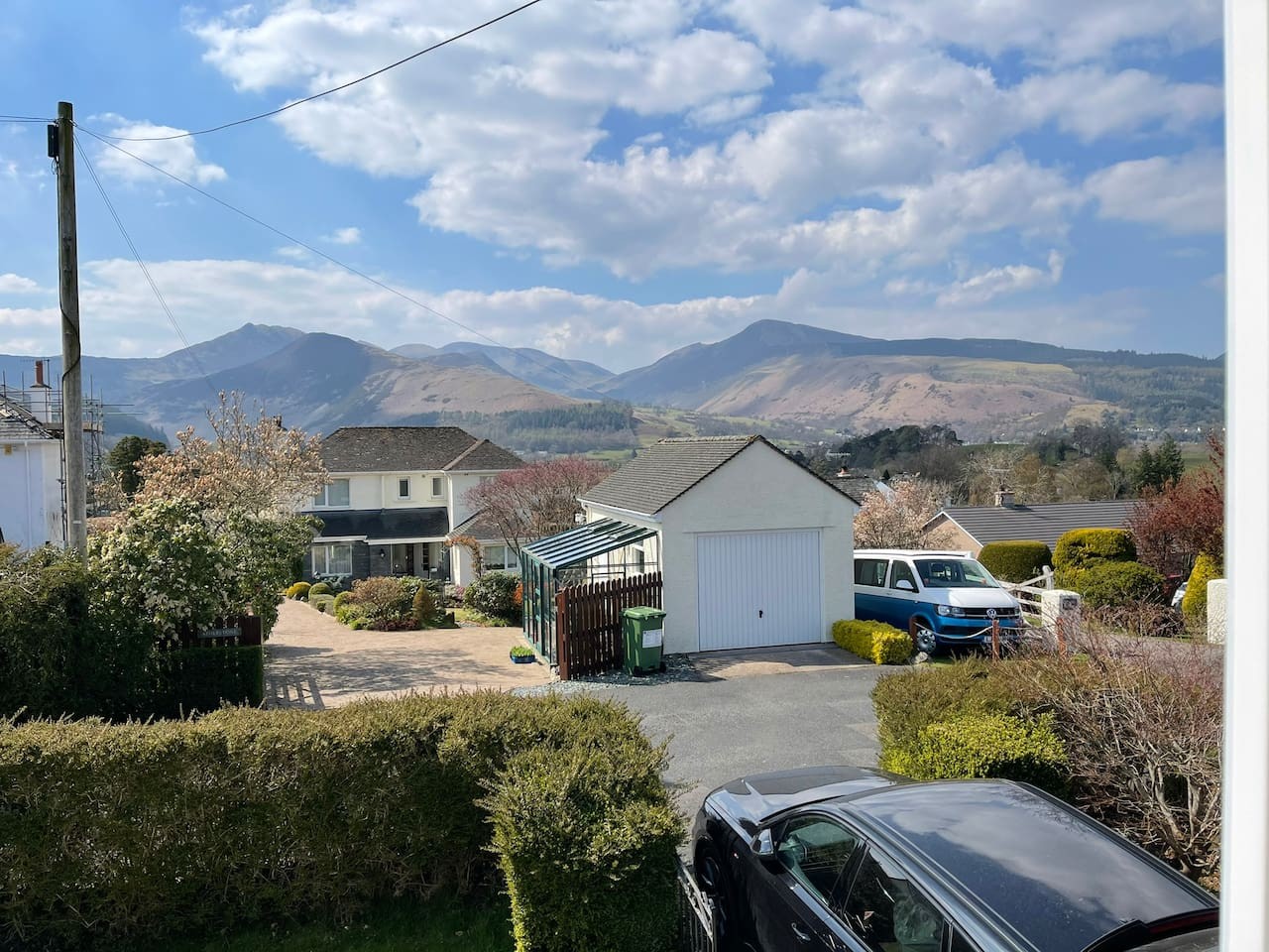
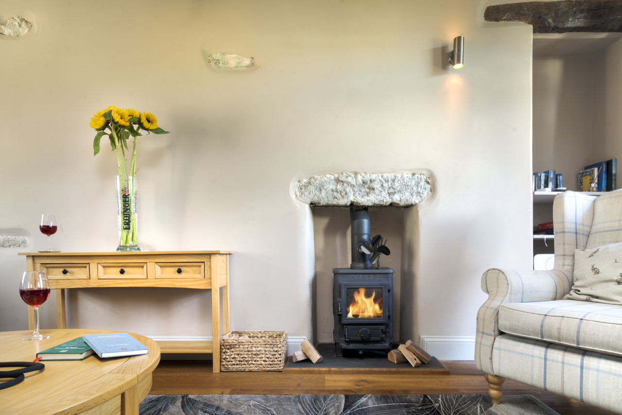
Travel Fox holiday homes around Lake District, linked directly to their property pages.
For homeowners
Own a holiday home near Crosby Ravensworth?
We manage holiday lets across the Lake District from 12% commission, charged after cleaning costs, with no lock-in. A co-founder visits before you decide.
Holiday let management in the Lake District →
A guide with a point of view
Written from research. Edited for real journeys.
Use the Official site links for live practical details, then use this guide for context, ideas and room to explore.
Photography credits & licences
Third-party photographs are credited to their named creators and reused under the linked Creative Commons licence or public-domain dedication. Travel Fox stores an optimised local copy; the file-specific changes and any browser-applied display crop are disclosed below. Reused photographs link both to the Wikimedia Commons source record and to the declared source image; Travel Fox's own photographs carry no such record and are marked as ours. These image licences do not cover Travel Fox text, branding or page design.
- File:Butchers Arms at Crosby Ravensworth - geograph.org.uk - 1885019.jpg — photograph by Rob Burke; Butchers Arms at Crosby Ravensworth by Rob Burke. Source record on Wikimedia Commons. Declared source image. Licence: CC BY-SA 2.0. File changes: Downloaded from Wikimedia Commons, resized to a maximum 1920px edge and encoded as an optimised JPEG. Display changes: Displayed with responsive CSS cropping.
Sources
Every place on this page is checked against a published source. Each entry links the record we used and names who publishes it.
- The Butchers Arms — thebutcherscrosby.co.uk operator, sector body or destination organisation record not machine-readable; publisher restricts automated access
- St Lawrence's Church — historicengland.org.uk statutory register or public authority record not machine-readable; publisher restricts automated access
- Ewe Close Romano-British Settlement — historicengland.org.uk statutory register or public authority record not machine-readable; publisher restricts automated access
- Lyvennet Valley Walk — yorkshiredales.org.uk other published source
- Crosby Ravensworth Fell — designatedsites.naturalengland.org.uk statutory register or public authority