
Forest village
Satterthwaite
A small Grizedale valley village with woodland trails, outdoor sculpture and a country pub at its heart.
- Best for
- Forest walks, outdoor sculpture and local food
- Give it
- A relaxed half-day
- Don't miss
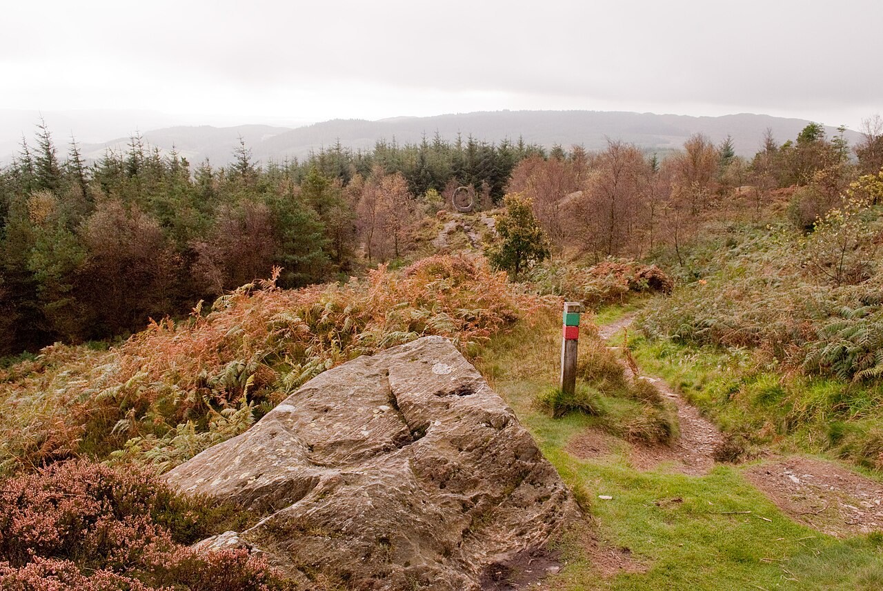
- The view from Carron Crag
Photo: Martin · CC BY-SA 2.0 · cropped
The Fox verdict
A quiet base for Grizedale
Satterthwaite suits visitors who want the forest close and the village experience simple.
The rewarding combination is a walk among Grizedale's sculptures or up Carron Crag, followed by time at the village pub. All Saints' Church adds a small historic stop, while the Forestry England visitor centre is the practical starting point for the wider forest.
Where to go
Places in Satterthwaite
Every place below is checked against a published source, listed with what it is and how long to give it.
Local signatures
3 placesGrizedale Sculpture Trail
An outdoor art experience through managed woodland, where more than 100 sculptures are distributed along walking routes.
- Visit length
- Editorial estimate: Allow around 2 hours
- Locality
- Throughout Grizedale Forest, beyond Satterthwaite
- Access
- There is no regular bus to Satterthwaite, and the forest approaches use narrow lanes.
Carron Crag
A strenuous marked walk from Grizedale Forest Visitor Centre to the forest high point at 314 metres, with wide views.
- Visit length
- Editorial estimate: Allow around 2 hours
- Locality
- Grizedale Forest Visitor Centre, Grizedale
- Access
- Start the marked Carron Crag trail at Grizedale Forest Visitor Centre; the walk is strenuous and can be muddy.
Grizedale Forest
An 8,000-acre managed woodland threaded with walking and mountain-bike routes and more than 100 outdoor sculptures.
- Visit length
- Editorial estimate: Allow around 1 hour
- Locality
- Grizedale Forest around Satterthwaite
- Access
- There is no regular bus to Satterthwaite, and the forest approaches use narrow lanes.
Food & drink
1 placeThe Eagle's Head
A traditional village inn known for handmade pies, Grizedale game and beers brewed within 20 miles.
- Visit length
- Editorial estimate: Allow around 90 minutes
- Locality
- Satterthwaite village
- Access
- Satterthwaite has no regular bus service and is reached by narrow lanes.
History & heritage
1 placeAll Saints' Church, Satterthwaite
A small church with medieval origins and a largely Victorian appearance, serving a scattered woodland community.
- Visit length
- Editorial estimate: Allow around 30 minutes
- Locality
- Satterthwaite village
- Access
- Satterthwaite has no regular bus service and is reached by narrow lanes.
No places match this filter. Choose All places to reset the list.
Three ways to explore Satterthwaite
Signature outings
Finish with a local pie
Settle into The Eagle's Head for a handmade pie and a beer brewed within 20 miles.
Meet the woodland parish
Visit All Saints' Church, medieval in origin and largely Victorian in appearance.
Reach Carron Crag
Follow the marked Carron Crag trail from Grizedale Forest Visitor Centre to the forest high point for the views.
The village story
Satterthwaite and the Grizedale valley
A village shaped by its pub, its woodland parish and the art, wildlife and history of the surrounding forest.
The pub and the forest threshold
The Eagle's Head serves only beer brewed within twenty miles of its front door. It is the one pub in the Grizedale valley, about 1.2 miles in a straight line from Grizedale Forest Visitor Centre, and it has decided that if a beer can't reach it from within twenty miles, it isn't going on the bar. The kitchen takes a similar line with the food. Much of the game comes from Grizedale itself, and the pies are handmade — a wild game and juniper pie among them, alongside a venison burger, a ribeye, and a Sunday roast with a choice of meats. There is a limited children's menu, which is honest of them.
The pub is the centre of things, because Satterthwaite is small and there isn't much else in the way of shops. What there is sits at Grizedale Forest Visitor Centre, about 1.2 miles away in a straight line — a café, a shop, and bike hire, run by Forestry England.
Art and paths through Grizedale
You come here for the forest. Grizedale is 8,000 acres of managed woodland, and since 1977 the Grizedale Society has been placing sculptures in it. There are now over a hundred, by artists from around the world, dotted along the trails so that you round a corner and find one waiting. It was one of the first forest art projects anywhere. The society was founded by Bill Grant OBE, whose idea it was to put art where people would walk into it by accident.
The walking runs from gentle to purposeful. Carron Crag, at 314 metres, is the highest point in the forest and a strenuous marked walk from the visitor centre, with the views you'd expect for the effort. There are mountain bike trails threaded through as well.
Old names and wartime stories
The name Grizedale means "valley of the pigs," which records the medieval woodland pig-farming that once went on here. The valley belonged to Furness Abbey. It also holds the last native red deer herd in the Lake District — the only one that has survived without being topped up from Scotland — along with roe deer, red squirrels, and otters.
There is a stranger chapter. Grizedale Hall, built in 1905 by Harold Brocklebank, became a prisoner of war camp for German officers during the Second World War. One of them escaped and walked all the way to the coast before he was recaptured, which tells you both something about his determination and something about the roads out.
Church, village and narrow lanes
All Saints' Church is medieval in origin and largely Victorian in what you actually see, a small church for a community scattered across the woods rather than gathered into a street.
Getting here takes a car. There is no railway and no regular bus. You come in from Hawkshead, four miles north, along the Grizedale road, or up from Ulverston by way of Haverthwaite, on lanes narrow enough that meeting another car becomes a small negotiation.
Between Esthwaite and Furness
Between Esthwaite Water to the north and the Furness country to the south, the village keeps to itself. The forest does most of the talking, and the pub does the rest.
Stay around Lake District
Make a longer stay of it
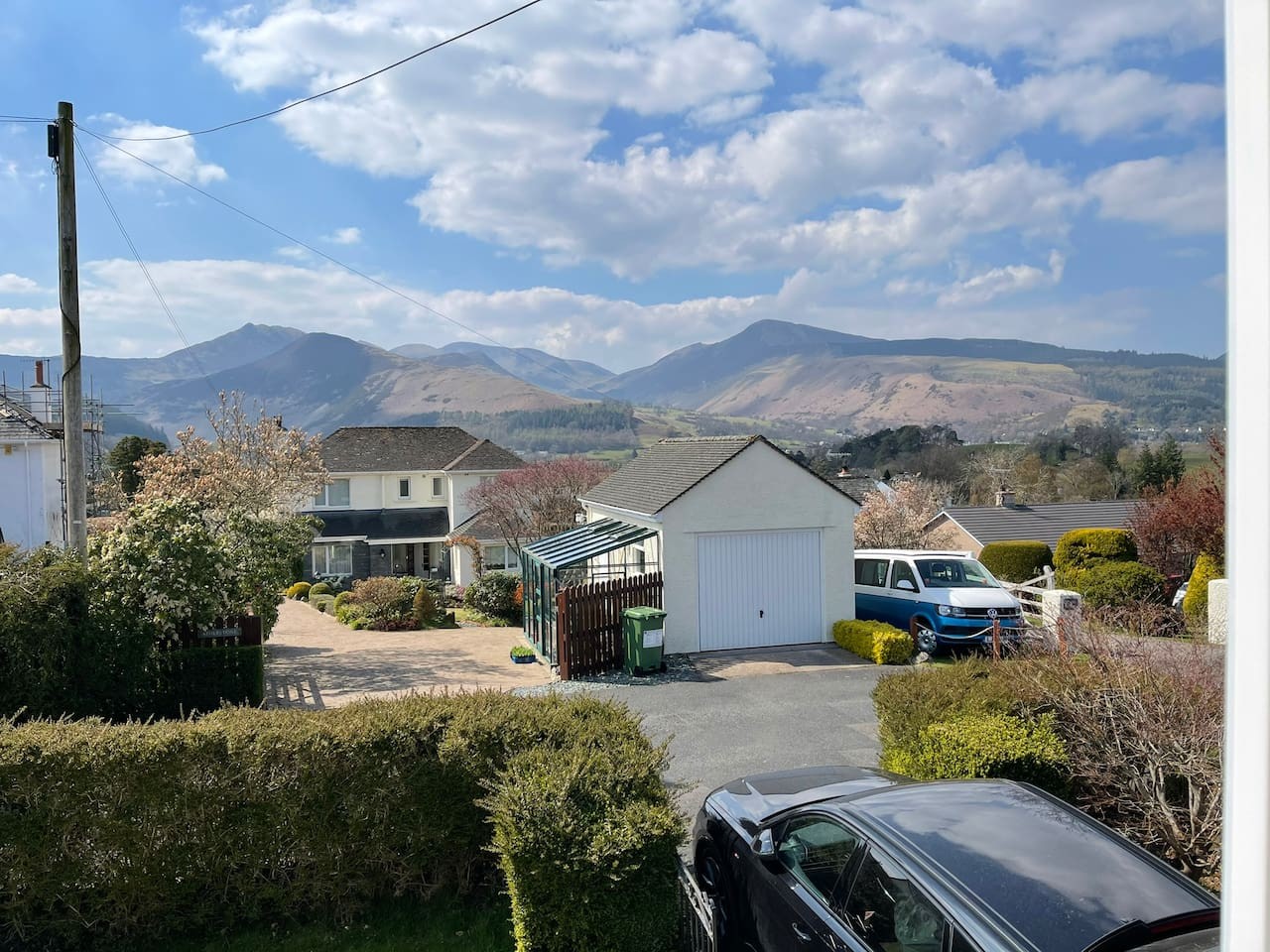
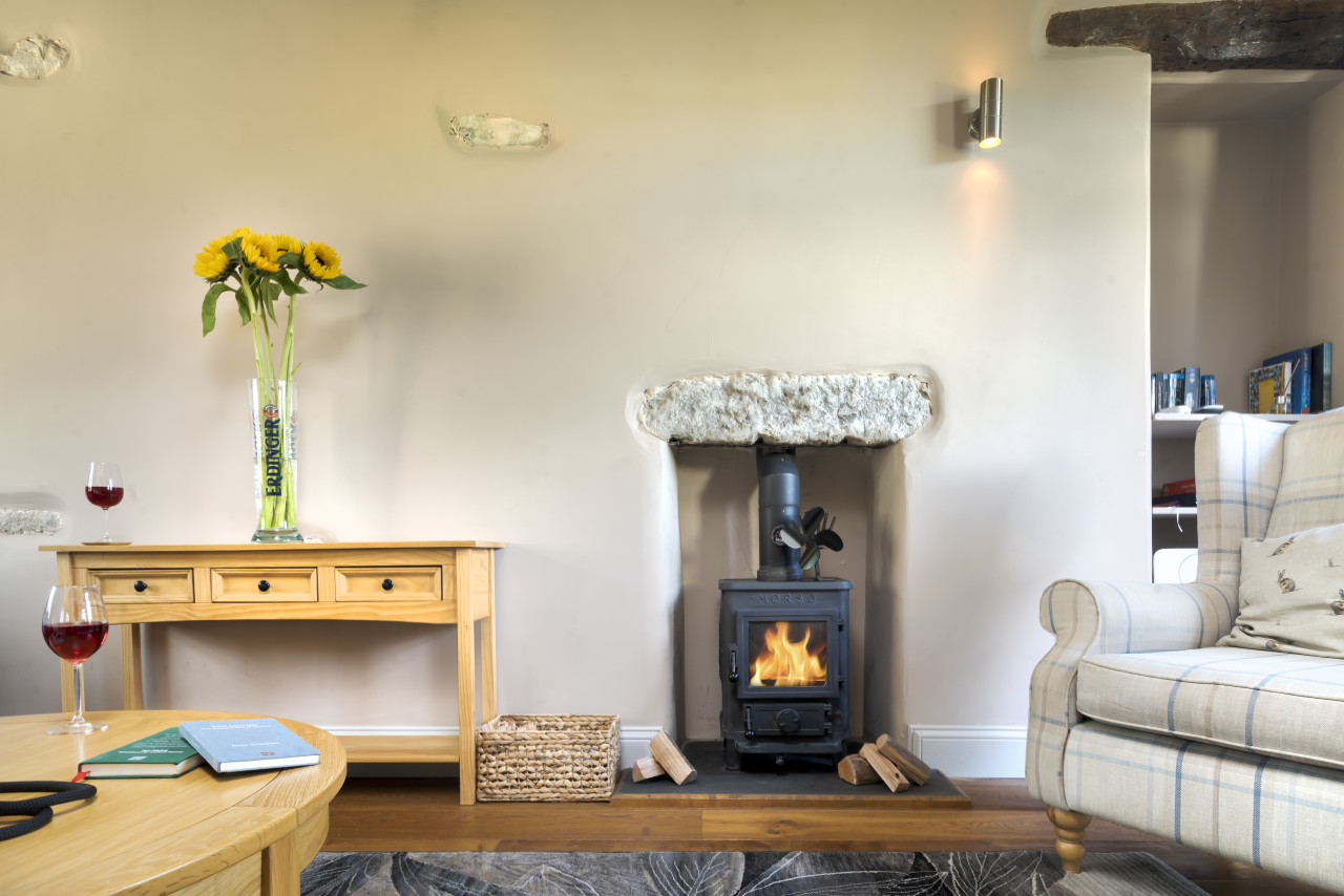
Travel Fox holiday homes around Lake District, linked directly to their property pages.
For homeowners
Own a holiday home near Satterthwaite?
We manage holiday lets across the Lake District from 12% commission, charged after cleaning costs, with no lock-in. A co-founder visits before you decide.
Holiday let management in the Lake District →
A guide with a point of view
Written from research. Edited for real journeys.
Use the Official site links for live practical details, then use this guide for context, ideas and room to explore.
Photography credits & licences
Third-party photographs are credited to their named creators and reused under the linked Creative Commons licence or public-domain dedication. Travel Fox stores an optimised local copy; the file-specific changes and any browser-applied display crop are disclosed below. Reused photographs link both to the Wikimedia Commons source record and to the declared source image; Travel Fox's own photographs carry no such record and are marked as ours. These image licences do not cover Travel Fox text, branding or page design.
- File:Carron Crag Grizedale Artwork in the Distance - geograph.org.uk - 2617960.jpg — photograph by Martin; Carron Crag Grizedale Artwork in the Distance by Martin. Source record on Wikimedia Commons. Declared source image. Licence: CC BY-SA 2.0. File changes: Downloaded from Wikimedia Commons, resized to a maximum 1920px edge and encoded as an optimised JPEG. Display changes: Displayed with responsive CSS cropping.
Sources
Every place on this page is checked against a published source. Each entry links the record we used and names who publishes it.
- The Eagle's Head — eagleshead.co.uk operator, sector body or destination organisation
- All Saints' Church, Satterthwaite — achurchnearyou.com national body or asset manager
- Grizedale Sculpture Trail — forestryengland.uk national body or asset manager
- Carron Crag — forestryengland.uk national body or asset manager
- Grizedale Forest — forestryengland.uk national body or asset manager