
Where three rivers meet
Edingale
Three village walks, a church with a Saxon window and wetlands at the Trent, Tame and Mease confluence shape a day around Edingale.
- Best for
- River walks, birdwatching and village history
- Choose a route
- Two 2.4km walks or a 4.5km circuit
- Don't miss
- The Saxon window built into Holy Trinity's vestry
The Fox verdict
Three walks and centuries of village history
Come for a measured riverside walk, then look outward to the church, wetlands and iron bridge that give the parish its depth.
The 4.5km Pessall circuit reaches Pessall Brook; the two 2.4km routes take walkers to the Mease. Holy Trinity carries a Saxon window into its Victorian fabric, while Croxall Lakes occupies former gravel workings at the meeting of three rivers.
Where to go
Places in Edingale
Every place below is checked against a published source, listed with what it is and how long to give it.
Local signatures
3 placesCroxall Lakes
Former sand-and-gravel workings with two large lakes and two bird hides. Otter signs are often found on the riverbanks, although the animals are difficult to spot.
- Visit length
- Editorial estimate: Allow around 2 hours
- Locality
- Croxall, within Edingale parish
Chetwynd Bridge
A Grade II* cast-iron bridge of 1824, designed by county surveyor Joseph Potter with ironwork by the Coalbrookdale Company.
- Visit length
- Editorial estimate: Allow around 20 minutes
- Locality
- A513 between Edingale and Alrewas
National Memorial Arboretum
A nearby memorial attraction at Alrewas, a few miles from Edingale and on a direct bus route from Tamworth.
- Visit length
- Editorial estimate: Allow around 3 hours
- Locality
- Alrewas
Walks & outdoors
3 placesPessall Walk
A circular route north from Blakeways Close, passing an electricity pylon, following Pessall Lane and reaching a bridge over Pessall Brook. The published circuit is roughly 4.5 km.
- Visit length
- Editorial estimate: Allow around 1 hour 30 minutes
- Locality
- Blakeways Close, Edingale
River Mease Walk
A figure-of-eight through the churchyard and river meadows, crossing the Mease by footbridge before turning towards Harlaston along Scotland Lane. The published figure-of-eight is roughly 2.4 km.
- Visit length
- Editorial estimate: Allow around 1 hour
- Locality
- Main Road and Church Lane, Edingale
Pingle Meadow Walk
A short route across the playing fields and along a hedgerow and woodland edge beside the River Mease. The published loop is roughly 2.4 km.
- Visit length
- Editorial estimate: Allow around 50 minutes
- Locality
- Village Hall playing fields, Edingale
History & heritage
1 placeHoly Trinity Church
Charles Lynam's 1880-81 church replaced a Georgian predecessor on a much older site; a small Saxon window survives in the vestry.
- Visit length
- Editorial estimate: Allow around 35 minutes
- Locality
- Edingale
No places match this filter. Choose All places to reset the list.
Three ways to explore Edingale
Signature outings
Birdlife at Croxall Lakes
In winter, look out for wigeon and teal on the main lake; smew is possible. The entrance car park has a height barrier and is locked overnight.
A Saxon window in Victorian fabric
The Victorian church also has a re-sited late-12th- or early-13th-century north door, another surviving piece of older fabric.
Pingle Meadow by the Mease
Watch for seasonal plants and wildlife along this loop. Pingle Meadow does not appear on the Rights of Way map; follow the published directions for the return.
The village story
Brook, Meadow and Memory in Edingale
A riverside village where lost trades, old routes and unlikely survivals still shape the view.
The Inn That Became Memory
The Black Horse Inn on Main Road is three buildings pretending to be one: a forge at the western end, a frontage about a century old, and an older inn tucked in behind. The Gadsby family ran it as blacksmiths and publicans from the 1830s; the Duggins family held it for more than sixty years after that. It closed around 2020, and a 2026 application to convert the building to residential use has been approved. In its last years, it served real ale alongside curries and a famous sizzling mixed grill.
Edingale currently has no pub and no shop. The Old Post Office on Main Road was in use until its sale in 1987; a later refit uncovered bread ovens showing that it had once doubled as the village bakery. Win Hobley kept a shop at Lilac Cottage until the early 1940s, and Moses Emery ran a grocery on Lullington Road until his death in 1931.
Brook, Meadow and Mease
The River Mease runs through the parish to join the Trent near Croxall. Three village routes run through Edingale: the 4.5km Pessall circuit follows Pessall Lane to Pessall Brook; the 2.4km River Mease figure-of-eight passes the churchyard and crosses the river; and the 2.4km Pingle Meadow loop starts at the Village Hall and follows the river before turning back. At Croxall Lakes, former sand-and-gravel workings draw wintering and breeding birds. Otter signs are found by the river, although the animals are difficult to spot.
A Church on Royal Ground
Holy Trinity Church was rebuilt in 1880–81 by Charles Lynam, replacing a Georgian building of 1736 on a site with a church recorded as far back as 1191. A small Saxon window, salvaged from whatever stood there before that, is built into the vestry, and the parish registers begin in 1575. The Domesday survey valued the Staffordshire portion of the village at forty shillings; by 1086 it belonged directly to King William I, one of the Mercian manors he kept for himself after putting down the 1068 rebellion.
Shire Horses and a Cold War Shelter
E J "Jos" Holland farmed Edingale House Farm from 1909 to 1986, breeding Shire horses that carried the village’s name overseas. One was Edingale Mascot, an 18.3-hand stallion exported to the United States in 1984. When Holland’s stock was auctioned that March, around 4,000 people came to watch. He received the MBE in 1983 and died in 1986, aged 96. Behind Fort Joe, Joe Golubic began building a nuclear fallout shelter in 1963.
Village Life and the Road South
Edingale Village Hall has playing fields and a playground. Former publican Alfred Edward Duggins and his sons founded the Edingale Swifts with the Green family in the late 1940s. The A513 crosses the Tame at the Grade II* Chetwynd Bridge towards Alrewas; nearby Harlaston has the White Lion pub. By 1999, Arthur Rowley had served fifty-three years as an Edingale parish councillor, an achievement that brought him and his wife Gladys an invitation to a Buckingham Palace garden party.
Stay around Staffordshire
Make a longer stay of it
Travel Fox holiday homes around Staffordshire, linked directly to their property pages.
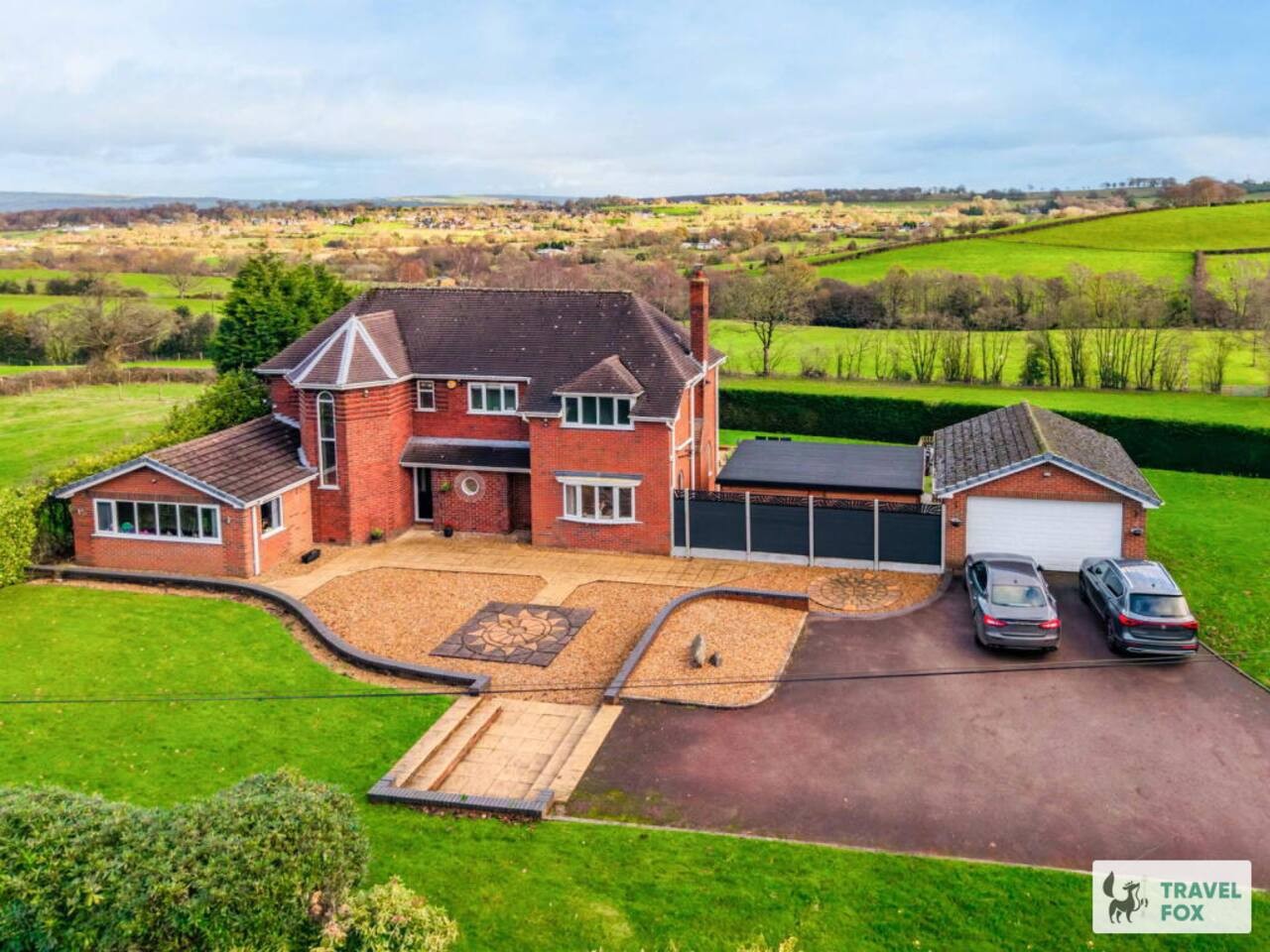
Cheddleton
Greenways House - Parking, Pool Table and Garden!
- Sleeps 10
- 4 bedrooms
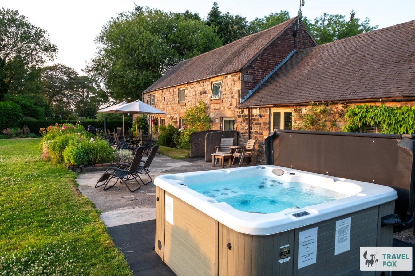
Cheddleton
Lee House Cottage + Annexe
- Sleeps 19
- 8 bedrooms

Leek
Silkwood House | Boutique 4 Bed nr. Peak District
- Sleeps 8
- 4 bedrooms
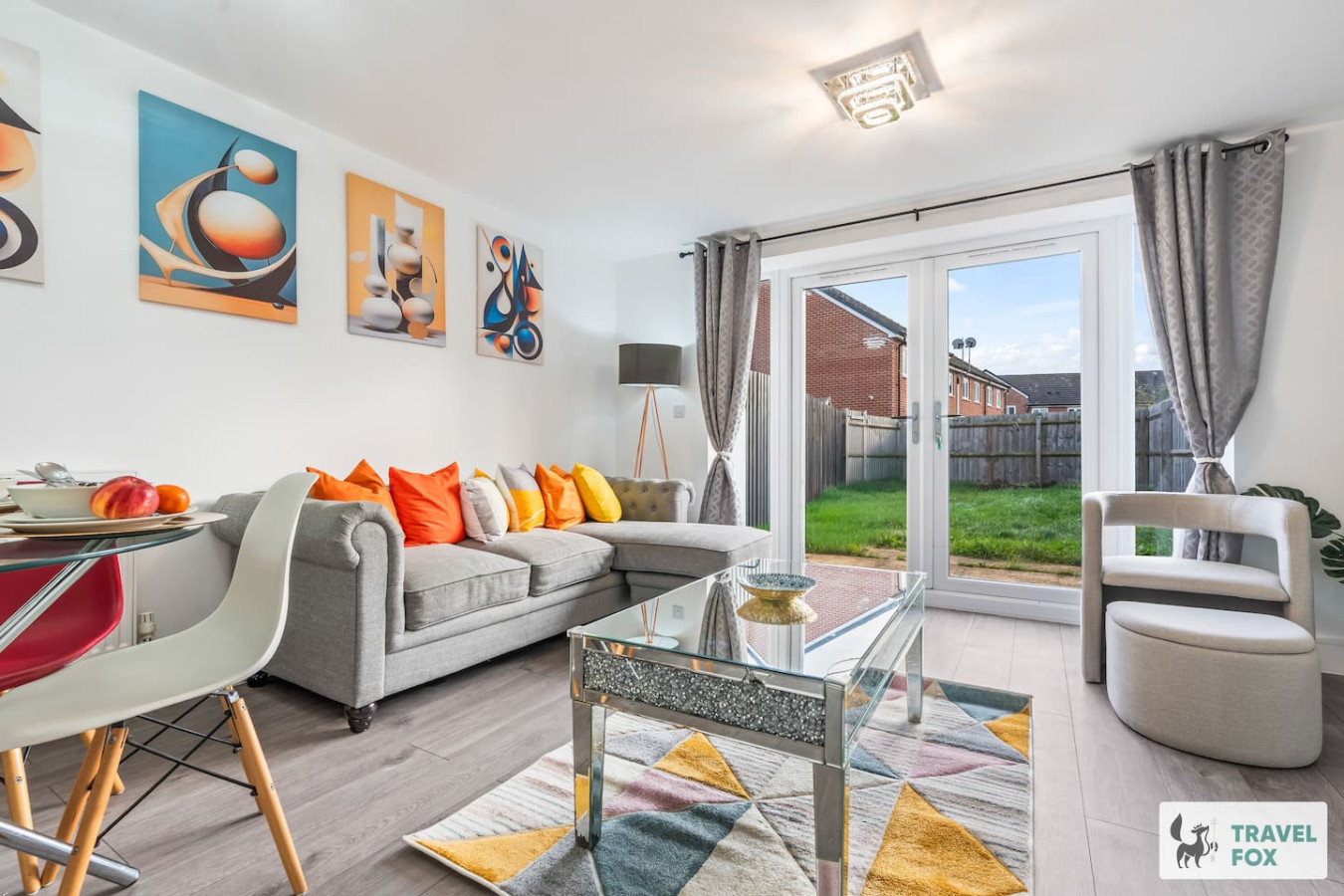
Stoke-on-Trent
Heather's House
- Sleeps 6
- 2 bedrooms
For homeowners
Own a holiday home near Edingale?
We manage holiday lets across Staffordshire from 12% commission, charged after cleaning costs, with no lock-in. A co-founder visits before you decide.
Holiday let management in Staffordshire →
A guide with a point of view
Written from research. Edited for real journeys.
Use the Official site links for live practical details, then use this guide for context, ideas and room to explore.
Sources
Every place on this page is checked against a published source. Each entry links the record we used and names who publishes it.
- Pessall Walk — edingale-pc.co.uk other published source
- River Mease Walk — edingale-pc.co.uk other published source
- Pingle Meadow Walk — edingale-pc.co.uk other published source
- Holy Trinity Church — historicengland.org.uk statutory register or public authority record not machine-readable; publisher restricts automated access
- Croxall Lakes — staffs-wildlife.org.uk national body or asset manager
- Chetwynd Bridge — historicengland.org.uk statutory register or public authority record not machine-readable; publisher restricts automated access
- National Memorial Arboretum — gov.uk statutory register or public authority