

Hilltop Staffordshire
Hanbury
A small village above the Dove Valley, shaped by old paths, deep history and the lasting mark of the RAF Fauld explosion.
- Best for
- Country walks, church history and valley views
- Give it
- Editorial estimate: a measured half-day
- Don't miss
- The Dove Valley view from Hanbury Hill
Photo: Bikeboy · CC BY-SA 2.0 · cropped
The Fox verdict
A small village with an outsized story
Hanbury pairs broad valley views and three waymarked walks with a remarkable medieval church and the surviving Fauld explosion crater.
This is a walking-led outing: begin around Hanbury Hill, choose the red route to the Fauld crater or the blue route through Hanbury, then make time for St Werburgh's Church; the longer green route continues through farmland and past former RAF sites.
Where to go
Places in Hanbury
Every place below is checked against a published source, listed with what it is and how long to give it.
Local signatures
3 places
Start here
Church of St Werburgh
A mainly 13th-century church over a 12th-century core, with two Anglo-Saxon crosses in the west wall and alabaster monuments to the Hanbury, Adderley and Egerton families.
- Visit length
- Editorial estimate: around 45 minutes
- Locality
- Church Lane, Hanbury
Hanbury Walks
Three waymarked routes start beside The Cock Inn: the red walk visits the Fauld crater, the blue walk passes through Hanbury towards Draycott in the Clay, and the longer green walk heads through farmland and past former RAF sites.
- Visit length
- Editorial estimate: around 120 minutes
- Locality
- starting at The Cock Inn
Fauld Crater and Memorial
The surviving crater and memorial mark the site of the 1944 RAF Fauld explosion.
- Visit length
- Editorial estimate: around 30 minutes
- Locality
- south of Fauld, east of Hanbury
Food & drink
1 placeThe Cock Inn
The Cock Inn stands on Hanbury Hill beside the starting point for three waymarked Hanbury Walks.
- Visit length
- Editorial estimate: around 90 minutes
- Locality
- on Hanbury Hill
Walks & outdoors
1 placeHanbury Common Picnic Place
A 4.9-acre area of brambles and trees with parking, picnic space and views across the Dove Valley.
- Visit length
- Editorial estimate: around 30 minutes
- Locality
- Hanbury Hill
No places match this filter. Choose All places to reset the list.
Three ways to explore Hanbury
Signature outings
Hanbury's village pub
Start at The Cock Inn for three waymarked Hanbury Walks. The car park is for customers; Hanbury Common has separate parking and a picnic area.
Centuries inside St Werburgh's
Look beyond the Saxon stones to the church's later layers: the tower's top stage was rebuilt in 1883, while its east and west windows contain 1894 glass by Ward and Hughes.
A picnic above the Dove
Hanbury Common has parking and picnic space. Pause here before exploring Hanbury Hill.
The village story
Hanbury Hill: Church, Crater and Country Paths
Follow Hanbury's hilltop paths past a medieval church and the landscape marked by the 1944 Fauld explosion.
The Hilltop Pub
Hanbury's hilltop pub has a public bar, lounge, separate snug and 60-seat restaurant; a pub has stood on the site since at least 1839.
Three waymarked Hanbury Walks start beside the building. The car park is for customers, while Hanbury Common Picnic Place has separate parking.
A Welcome for Walkers
Dogs are allowed in the public bar and lounge, and a garden gives walkers a place to pause.
The paths can be muddy, so sturdy shoes, water and snacks are sensible.
Rebuilt After the Blast
The Cock Inn was badly damaged by the 1944 Fauld explosion and rebuilt around 1950, with a rear extension added in 2000.
The short red Hanbury Walk reaches the Fauld crater and memorial. The blue route crosses Hanbury towards Draycott in the Clay; the longer green route heads through farmland and past former RAF sites.
The Church and the Crater
St Werburgh's Church is Grade II* listed, with 13th-century work on a 12th-century core. Two Saxon crosses are built into the west wall beside the south door. Inside are alabaster monuments to the Hanbury, Adderley and Egerton families, including an effigy associated with Sir John de Hanbury, who died in 1303. The blue walk passes the church on Church Lane, home to Hanbury Post Office.
On 27 November 1944, an explosion at the underground RAF Fauld munitions depot devastated the surrounding area and killed 70 people. The cause of the explosion was never established.
Village Life and Old Footnotes
The hilltop picnic area offers parking, picnic space and views over the Dove Valley.
Near the church on Church Lane, The Thatches is a timber-framed, thatched cottage; its original structure dates to the late 16th or early 17th century.
Stay around Staffordshire
Make a longer stay of it
Travel Fox holiday homes around Staffordshire, linked directly to their property pages.
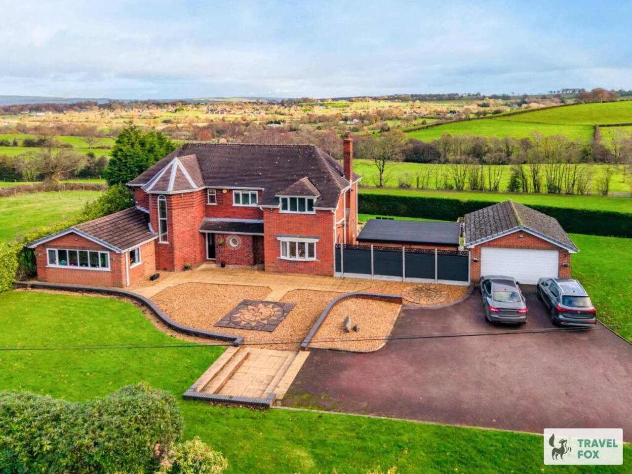
Cheddleton
Greenways House - Parking, Pool Table and Garden!
- Sleeps 10
- 4 bedrooms
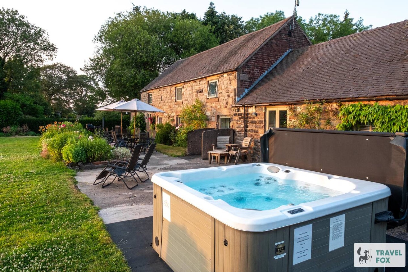
Cheddleton
Lee House Cottage + Annexe
- Sleeps 19
- 8 bedrooms

Leek
Silkwood House | Boutique 4 Bed nr. Peak District
- Sleeps 8
- 4 bedrooms
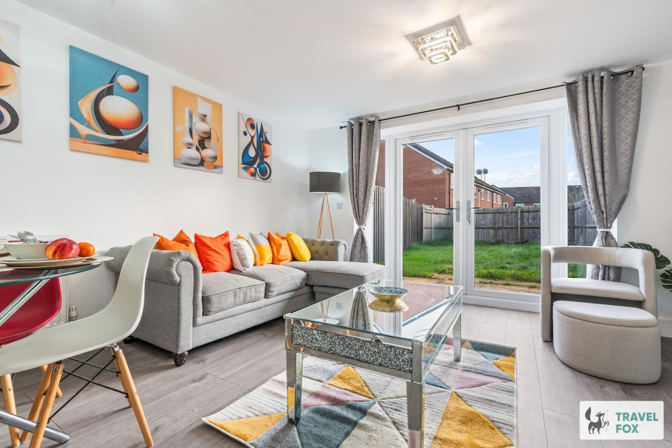
Stoke-on-Trent
Heather's House
- Sleeps 6
- 2 bedrooms
For homeowners
Own a holiday home near Hanbury?
We manage holiday lets across Staffordshire from 12% commission, charged after cleaning costs, with no lock-in. A co-founder visits before you decide.
Holiday let management in Staffordshire →
A guide with a point of view
Written from research. Edited for real journeys.
Use the Official site links for live practical details, then use this guide for context, ideas and room to explore.
Photography credits & licences
Third-party photographs are credited to their named creators and reused under the linked Creative Commons licence or public-domain dedication. Travel Fox stores an optimised local copy; the file-specific changes and any browser-applied display crop are disclosed below. Reused photographs link both to the Wikimedia Commons source record and to the declared source image; Travel Fox's own photographs carry no such record and are marked as ours. These image licences do not cover Travel Fox text, branding or page design.
- File:St Werburgh's Church, Hanbury.jpg — photograph by Bikeboy; Bikeboy. Source record on Wikimedia Commons. Declared source image. Licence: CC BY-SA 2.0. File changes: Downloaded from Wikimedia Commons, resized to a maximum 1920px edge and encoded as an optimised JPEG. Display changes: Displayed with responsive CSS cropping.
Sources
Every place on this page is checked against a published source. Each entry links the record we used and names who publishes it.
- The Cock Inn — camra.org.uk operator, sector body or destination organisation
- Church of St Werburgh — historicengland.org.uk statutory register or public authority record not machine-readable; publisher restricts automated access
- Hanbury Common Picnic Place — staffordshire.gov.uk statutory register or public authority
- Hanbury Walks — staffordshire.gov.uk statutory register or public authority
- Fauld Crater and Memorial — memorials.iwm.org.uk statutory register or public authority