

Canal, woodland and village pubs
Hopwas
A Staffordshire village where the Coventry Canal meets ancient Hopwas Hays Wood, with two waterside pubs and an inventive Victorian church.
- Best for
- Canal walks, ancient woodland and pub gardens
- Give it
- About 2½ hours for the Hopwas Woods–Hademore circular
- Landscape
- Whittington ranges beside the woodland
Photo: Chris' Buet · CC BY-SA 2.0 · cropped
The Fox verdict
A canal village with woodland on the doorstep
Hopwas brings together towpath walking, ancient woodland, two contrasting pubs and St Chad's, John Douglas's distinctive Victorian church.
The Coventry Canal and Hopwas Hays Wood shape a visit here. Follow the towpath, choose between a historic country pub and a large canal-side garden, then look up at St Chad's red brick, timber framing and octagonal spirelet. Nearby Tamworth Castle gives a longer history-focused outing a clear destination.
Where to go
Places in Hopwas
Every place below is checked against a published source, listed with what it is and how long to give it.
Local signatures
3 placesThe Red Lion
A traditional pub with home-cooked food, public boat mooring and a large lawned garden with a paved terrace and children's play area.
- Visit length
- Editorial estimate: around 75 minutes
- Locality
- on Lichfield Road at the edge of Hopwas Woods
- Access
- Dogs are welcome in the bar and beer garden, but not in the dining lounge.
St Chad's Church
John Douglas's Grade II-listed church of 1881 combines red brick, timber-framed upper stages and an octagonal spirelet over the central tower.
- Visit length
- Editorial estimate: around 35 minutes
- Locality
- above Hopwas village
- Access
- Active Anglican parish church with a Grade II-listed 1881 building.
Hopwas Hays Wood
About 385 acres of ancient woodland with evidence of continuous woodland since at least the eleventh century, adjoining an active military firing range.
- Visit length
- Editorial estimate: around 90 minutes
- Locality
- immediately north of Hopwas
- Access
- The woodland adjoins the Whittington ranges, with public bridleways through the wood.
Food & drink
1 placeThe Tame Otter
A country pub serving this spot since the early nineteenth century, formerly the Chequers Inn, with bare brick, flagstones and dark beams across several levels.
- Visit length
- Editorial estimate: around 75 minutes
- Locality
- beside the canal on Lichfield Road
- Access
- Dogs are welcome in the bar area, where water bowls are provided.
Walks & outdoors
1 placeCoventry Canal
A towpath through the village with walking options towards Whittington through woodland and farmland, or towards Tamworth Castle on a waymarked circular.
- Visit length
- Editorial estimate: around 60 minutes
- Locality
- where the A51 crosses the canal
- Access
- The route towards Whittington mixes paved and rougher sections and can be muddy.
History & heritage
1 placeTamworth Castle
A Norman motte-and-bailey castle in nearby Tamworth, among the best-preserved in England.
- Visit length
- Editorial estimate: around 120 minutes
- Locality
- in Tamworth
- Access
- Norman motte-and-bailey castle in Tamworth.
No places match this filter. Choose All places to reset the list.
Three ways to explore Hopwas
Signature outings
Raise a glass at the old Chequers
Pause at the Tame Otter, a canal-side pub whose earlier identity as the Chequers reaches back to the early nineteenth century.
Find John Douglas's playful tower
Look for the red brick, timber-framed upper stages and octagonal spirelet that make St Chad's a distinctive Victorian composition.
Make Tamworth Castle the destination
Link Hopwas to nearby Tamworth for a visit to its Norman motte-and-bailey castle, one of the best-preserved in England.
The village story
Hopwas Village Guide
Canal-side pubs, ancient woodland, Victorian invention and village folklore beside the River Tame.
Two Pubs by the Canal
The Tame Otter has been pouring drinks on this spot since the early nineteenth century, back when it was called the Chequers Inn. It sits on the Coventry Canal on the road into Lichfield, the original building at the Hints Road junction now joined to a rear extension of bare brick, flagstone floors and dark beams across several levels.
Cask ale is available. Dogs are welcome in the bar, with water bowls provided, and the lawned beer garden climbs towards the canal without quite reaching it.
The Red Lion is the other option, on Lichfield Road at the edge of Hopwas Woods. The large, food-oriented lounge serves cottage pies, curries and Sunday roasts from locally sourced ingredients; both the lounge and smaller traditional bar have solid fuel stoves.
Gardens and the Woodland Circuit
The regular cask selection includes St Austell Tribute and Timothy Taylor Landlord.
The garden is the bigger draw: a sprawling lawn, a paved terrace, a play area for children and mooring for anyone arriving by boat. Dogs are allowed in the bar and garden, not the dining lounge. An old take-out hatch by the entrance has a stained-glass surround that has gone unused for years.
The Hopwas Woods–Hademore circular starts and finishes at the Lichfield Road canal bridge, covering about 9.4km along the Birmingham & Fazeley Canal through Hopwas Wood and the Whittington firing range before returning along the towpath. Allow two and a half hours.
Towpath Tales and St Chad's
A shorter route follows the towpath to Whittington, where walkers can find refreshments. The wood covers 385 acres and has been continuously wooded since at least the eleventh century; part of it is an active military range, with public bridleways through the wood.
St Chad's Church, above the village, went up in 1881: red brick with timber framing in the upper stages and an octagonal spirelet crowning the central tower. The result is a distinctive Victorian composition.
The church replaced the earlier Hopwas Chapel, pulled down in the 1880s for being too small and inconvenient. The chapel's old graveyard remains, with a ghost story about a small boy.
From Opewas to the Woodhouse
The Domesday Book recorded the place as Opewas, a royal manor: eleven villeins and two bordars, five plough teams, a mill worth thirteen shillings and fourpence, the whole manor valued at forty shillings before and after the Conquest.
The Woodhouse, a forester's lodge built in 1730 for the Fisherwick estate, stood higher in the wood until 2010. Local tradition links it with the siege of Lichfield and Cromwell's horses. Folklore remembers a footpad called Knox, who preyed on travellers heading into the wood.
Getting There and Village Life
Tamworth station is about 2.2 miles from Hopwas in a straight line; the walking route is longer. The A51 runs between Tamworth and Lichfield. Arriva's 765 and X65 buses stop at Church Drive.
The census counted 1,016 people here in 2011. One of them is the horror novelist Guy N. Smith, who has been writing from the village for years, not far from the canal where the boats still tie up for the night.
Stay around Staffordshire
Make a longer stay of it
Travel Fox holiday homes around Staffordshire, linked directly to their property pages.
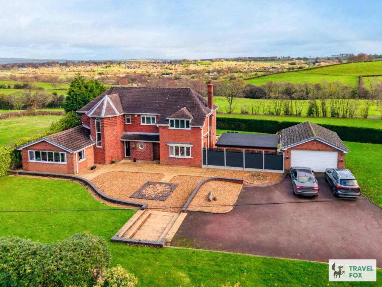
Cheddleton
Greenways House - Parking, Pool Table and Garden!
- Sleeps 10
- 4 bedrooms
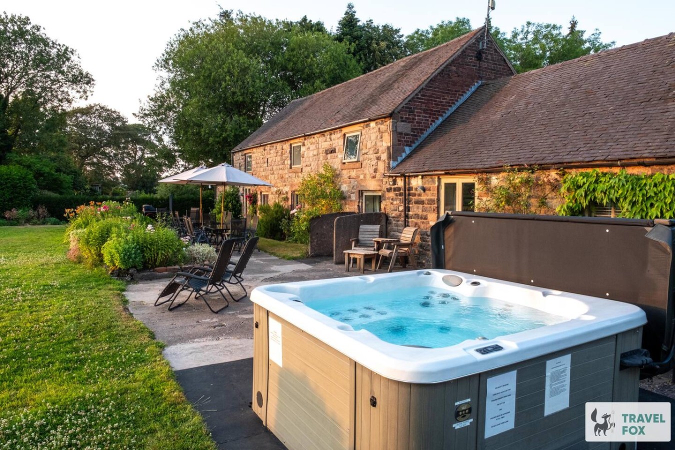
Cheddleton
Lee House Cottage + Annexe
- Sleeps 19
- 8 bedrooms
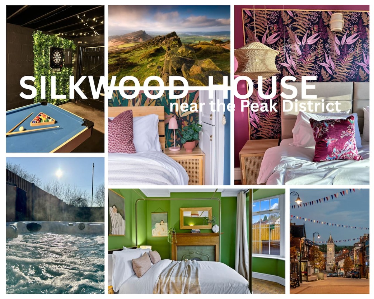
Leek
Silkwood House | Boutique 4 Bed nr. Peak District
- Sleeps 8
- 4 bedrooms
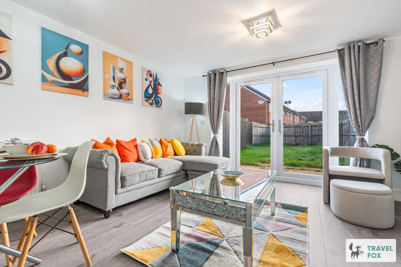
Stoke-on-Trent
Heather's House
- Sleeps 6
- 2 bedrooms
For homeowners
Own a holiday home near Hopwas?
We manage holiday lets across Staffordshire from 12% commission, charged after cleaning costs, with no lock-in. A co-founder visits before you decide.
Holiday let management in Staffordshire →
A guide with a point of view
Written from research. Edited for real journeys.
Use the Official site links for live practical details, then use this guide for context, ideas and room to explore.
Photography credits & licences
Third-party photographs are credited to their named creators and reused under the linked Creative Commons licence or public-domain dedication. Travel Fox stores an optimised local copy; the file-specific changes and any browser-applied display crop are disclosed below. Reused photographs link both to the Wikimedia Commons source record and to the declared source image; Travel Fox's own photographs carry no such record and are marked as ours. These image licences do not cover Travel Fox text, branding or page design.
- File:St Chad's Church (23) - geograph.org.uk - 1812410.jpg — photograph by Chris' Buet; St Chad's Church (23) by Chris' Buet. Source record on Wikimedia Commons. Declared source image. Licence: CC BY-SA 2.0. File changes: Downloaded from Wikimedia Commons, resized to a maximum 1920px edge and encoded as an optimised JPEG. Display changes: Displayed with responsive CSS cropping.
Sources
Every place on this page is checked against a published source. Each entry links the record we used and names who publishes it.
- The Tame Otter — vintageinn.co.uk other published source record not machine-readable; publisher restricts automated access
- The Red Lion — camra.org.uk operator, sector body or destination organisation
- St Chad's Church — achurchnearyou.com national body or asset manager
- Hopwas Hays Wood — wiggintonandhopwas-pc.gov.uk statutory register or public authority
- Coventry Canal — staffswaterways.org.uk other published source
- Tamworth Castle — tamworthcastle.co.uk operator, sector body or destination organisation