
Limestone village life
Tideswell
A high limestone village where a great medieval church, independent food shops and dale walks sit close together.
- Best for
- Medieval detail and low-level dale walking
- Give it
- A full day with time for the village and the dale
- Don't miss
- The Cathedral of the Peak and Tideswell Dale
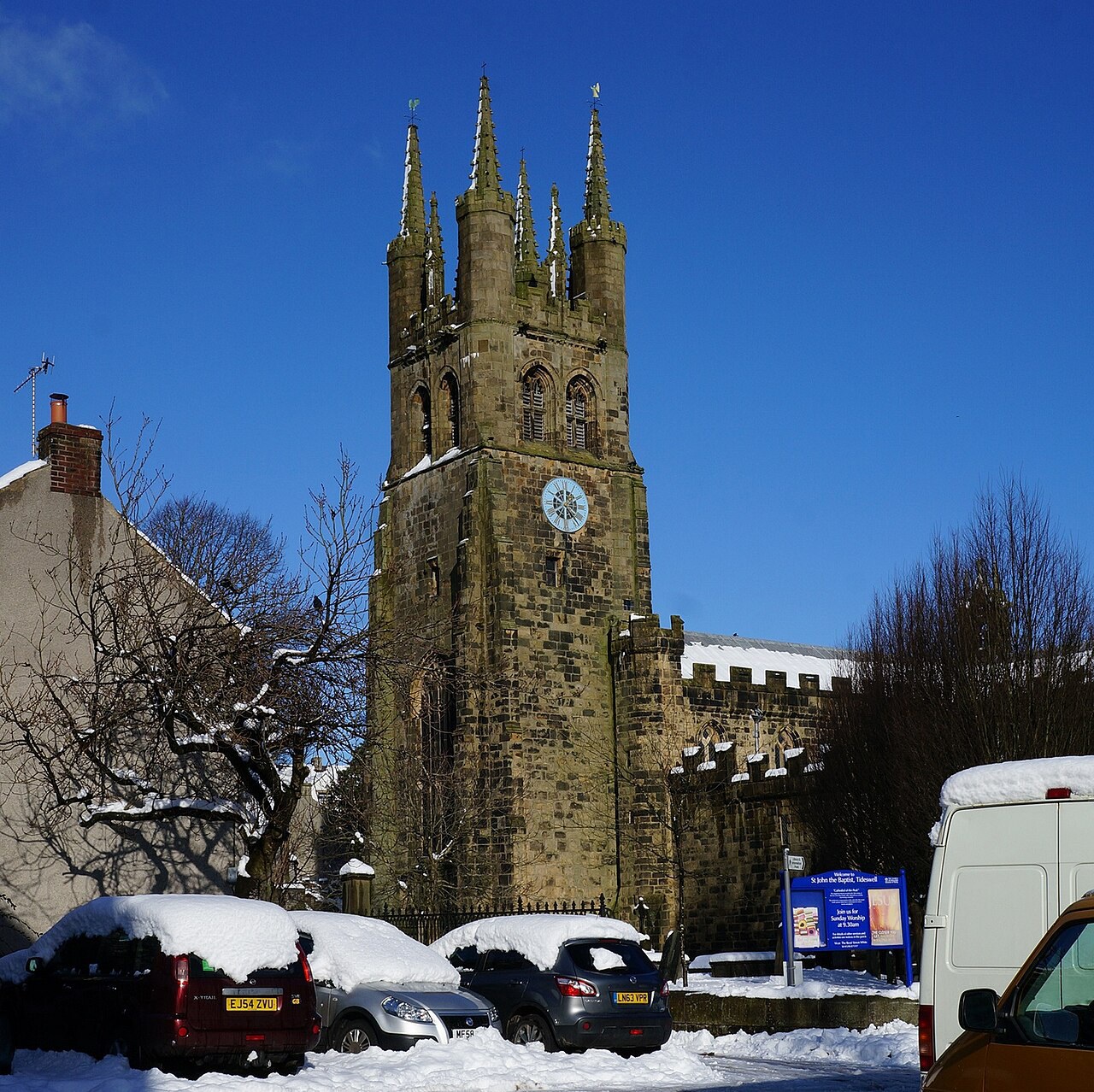
Photo: Ian S · CC BY-SA 2.0 · cropped
The Fox verdict
A working village with a monumental heart
Tideswell combines one of Derbyshire's most important medieval parish churches with an unusually strong independent food scene and limestone country on the doorstep.
Come for the fourteenth-century Church of St John the Baptist, then make time for the bakery, pubs and the limestone valley immediately south of the village. Tideswell works especially well when a village visit is paired with a low-level walk or a short drive to the Monsal Head view.
Your picks, your pace
Make Tideswell yours
Choose a mood or build your own list. Your saved stops are an ordering aid, with a direct map route when you are ready.
Local signatures
3 places
Start here
Church of St John the Baptist
The Grade I-listed Cathedral of the Peak was built almost entirely in the fourteenth century and rewards a close look at its medieval tombs, brasses, font and locally carved pew ends.
- Visit length
- Editorial estimate: Allow around 45 minutes
- Locality
- Tideswell
Tideswell Dale
Start at Tideswell Dale Car Park for a low-level route through the limestone valley and nature reserve towards Miller's Dale beneath limestone cliffs.
- Visit length
- Editorial estimate: Allow around 2 hours for a shorter dale visit
- Locality
- immediately south of Tideswell
The George Inn
A historic coaching inn serving unfussy British pub food, Greene King cask ales and local guest beers, with a bar welcoming dogs and muddy boots.
- Visit length
- Editorial estimate: Allow around 75 minutes
- Locality
- Market Place, Tideswell
Food & drink
2 placesThe Horse and Jockey
A family-run pub of roughly two centuries, with three dining areas, fireplace seating, a garden, home-made pub food and three changing real ales.
- Visit length
- Editorial estimate: Allow around 75 minutes
- Locality
- Tideswell
Tindalls of Tideswell
A long-established family bakery, fine-food shop and delicatessen opposite the church.
- Visit length
- Editorial estimate: Allow around 30 minutes
- Locality
- opposite St John the Baptist
Walks & outdoors
2 places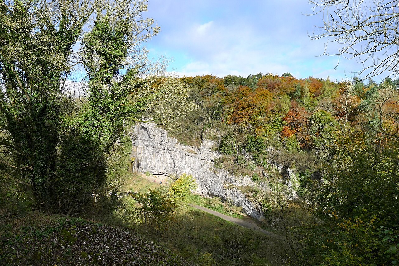
Monsal Trail at Miller's Dale
Join the traffic-free Monsal Trail at Miller's Dale Station after following Tideswell Dale and the River Wye.
- Visit length
- Editorial estimate: Allow around 2 hours 30 minutes for a trail section
- Locality
- Miller's Dale
Monsal Head
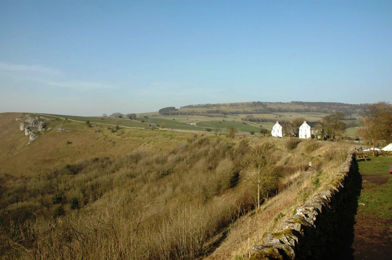
Start at Headstone Viaduct View at Monsal Head for the celebrated outlook over the Wye valley and its viaduct.
- Visit length
- Editorial estimate: Allow around 45 minutes
- Locality
- Monsal Head, above the Wye valley
No places match this filter. Choose All places to reset the list.
On the map
Tideswell at a glance
Tap a marker to jump to its guide card.
Three ways to explore Tideswell
Signature outings
Inside the Cathedral of the Peak
Look for Sir Sampson Meverill's altar tomb and Advent Hunstone's pew-end carvings of the seven sacraments.
A traffic-free trail section
Join the Monsal Trail around Miller's Dale after the low-level approach through Tideswell Dale.
The Monsal Head view
Pause above the Wye valley for the celebrated view of the viaduct from Monsal Head.
The village story
Tideswell Village Guide
Pubs, independent food, medieval ambition and limestone walking in the village locals call Tidza.
Two Pubs, Two Moods
The George Inn stands on the Market Place, directly opposite the church, and has been a coaching house long enough to have collected the sort of details pubs collect over centuries. The Tideswell Male Voice Choir gave its first performance here in 1963. The village cinema moved into the upper storey in 2008. The bar advertises itself as dog and muddy-boot friendly, with blankets and toys laid out for the dogs, three Greene King cask ales and local guest beers on, and food that is British and unfussy: steaks, roast beef, steak pie, chicken kebabs, tomato soup, Yorkshire pudding, fruitcake and ice cream.
The other pub is the Horse and Jockey, family-run and roughly two hundred years old, with three dining areas and a fireplace to sit beside. It pours three changing real ales, has a garden and live music, and keeps six dog-friendly letting rooms.
Independent Food and the Cathedral of the Peak
For a village of 1,712 people, the food shopping is unreasonably complete. There's a butcher and Peaches the greengrocer. The Peak District Parlour is one of the cafés. Tindalls of Tideswell, opposite the church, has run as a family bakery and delicatessen for over sixty years. The Cherry Tree does cakes, salads and sandwiches. A nearly complete set of independent food shops is not what you expect in a settlement this size.
The church is St John the Baptist, known widely as the Cathedral of the Peak. It was built almost entirely in the fourteenth century, between about 1320 and 1400, with the work delayed by the Black Death, and Historic England calls it "one of the most important of the county's medieval parish churches." Inside is the altar tomb of Sir Sampson Meverill, who fought at the Siege of Orléans against Joan of Arc, and a set of pew-end carvings of the seven sacraments by Advent Hunstone, a local woodcarver.
Dale Walks and Practical Connections
The walking starts low. A six- to seven-mile circular from Tideswell Dale car park drops through the dale into Miller's Dale, follows the winding River Wye beneath limestone cliffs, then climbs onto the traffic-free Monsal Trail. Tideswell Dale itself is a limestone valley and nature reserve just south of the village, part of the Wye Valley SSSI. Monsal Head, with its viaduct over the Wye, is a short drive off.
There's no station. Buxton, to the west, is the nearest, reached on the B6049 via the A6; buses run to Buxton and Bakewell.
Market Charters and Mining Muscle
The village took its market charter in 1251 and grew into a market town holding five fairs a year, funded by the wool trade and by lead. Its miners were "renowned for their strength and much prized by the military authorities." When the Domesday surveyors came through, they recorded fewer than five households here.
The Sawyeds of Tidza
Villagers are known as Sawyeds, after a farmer who is said to have freed his prize cow from a gate by sawing its head off. They call the place Tidza.
Stay around Peak District
Make a longer stay of it
Travel Fox holiday homes around Peak District, linked directly to their property pages.
Leek
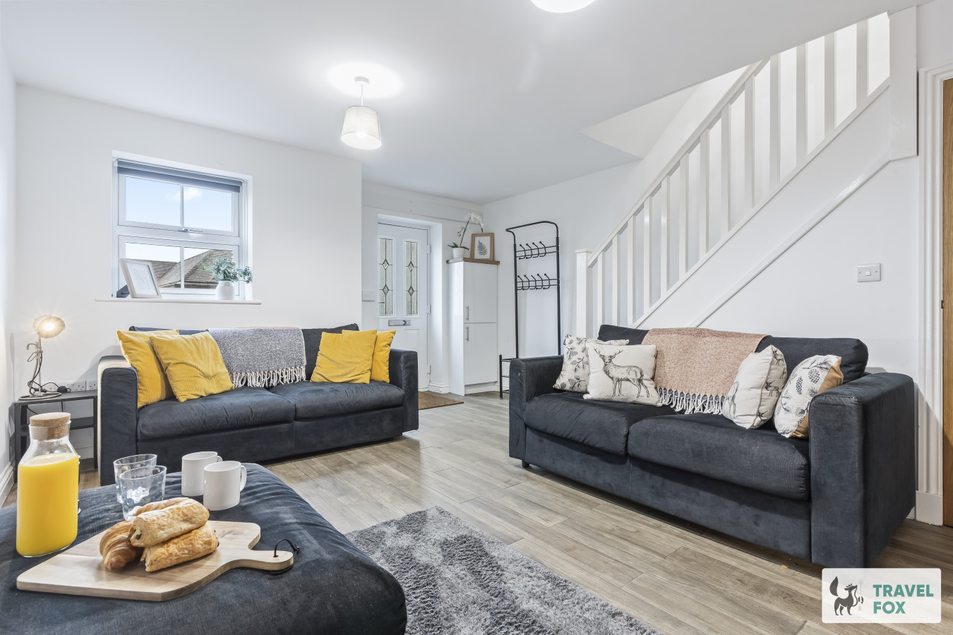
Lisa's House Leek: 20mins Alton Towers
- Sleeps 6
- 2 bedrooms
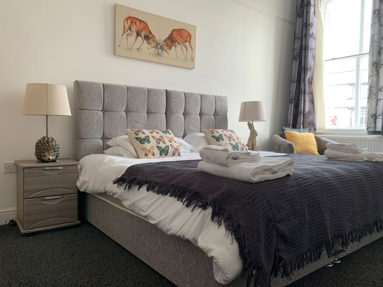
Leek
The Rudyard Suite - Large 1 Bed Apartment
- Sleeps 5
- 1 bedroom
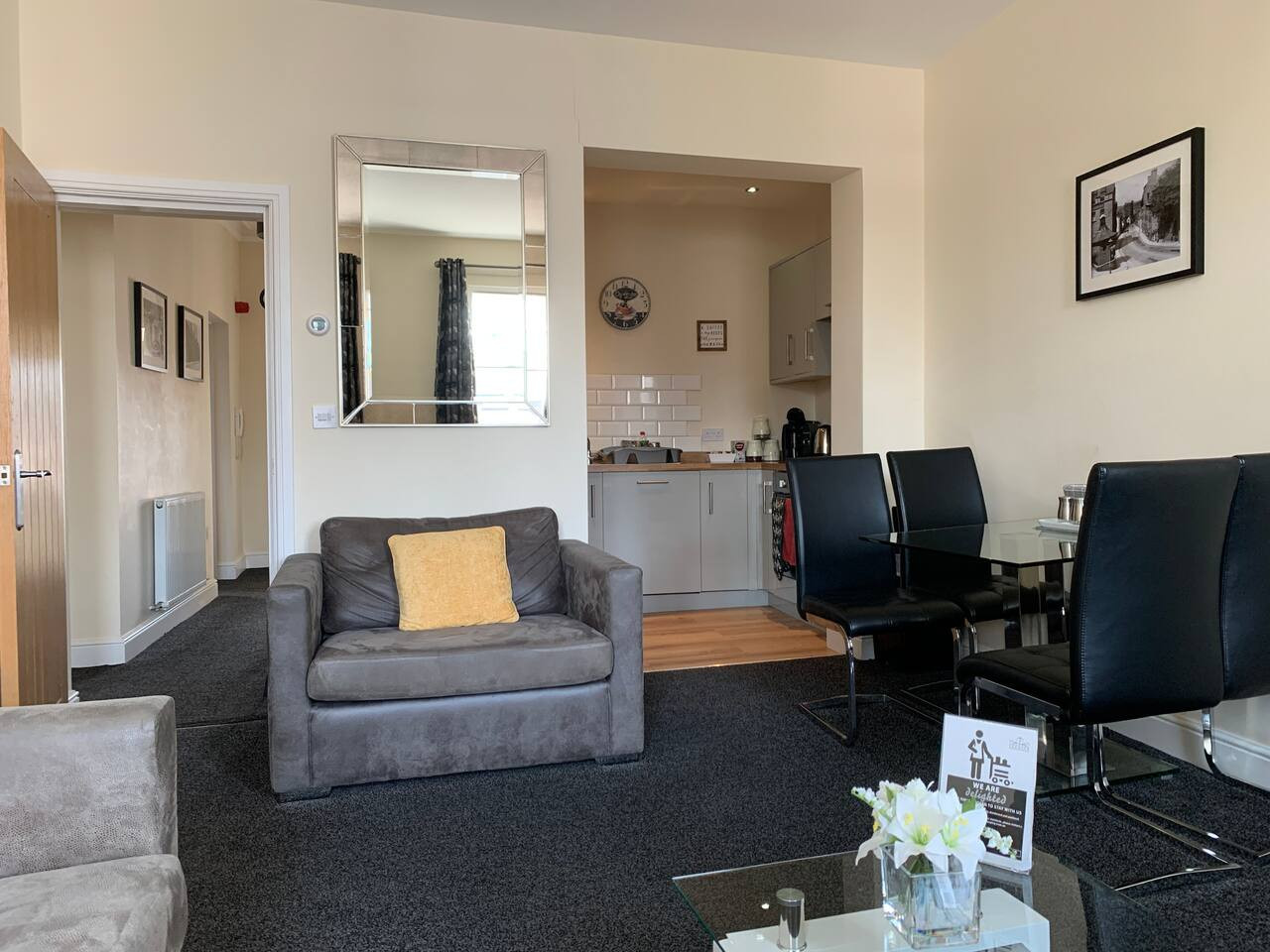
Leek
The Roaches Suite - Large 2 Bedroom Apartment
- Sleeps 7
- 2 bedrooms
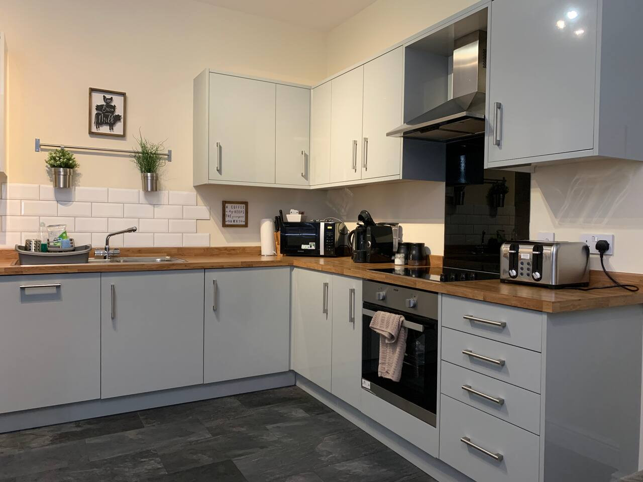
Leek
The Moorlands Suite - 1 Bed Apartment
- Sleeps 4
- 1 bedroom
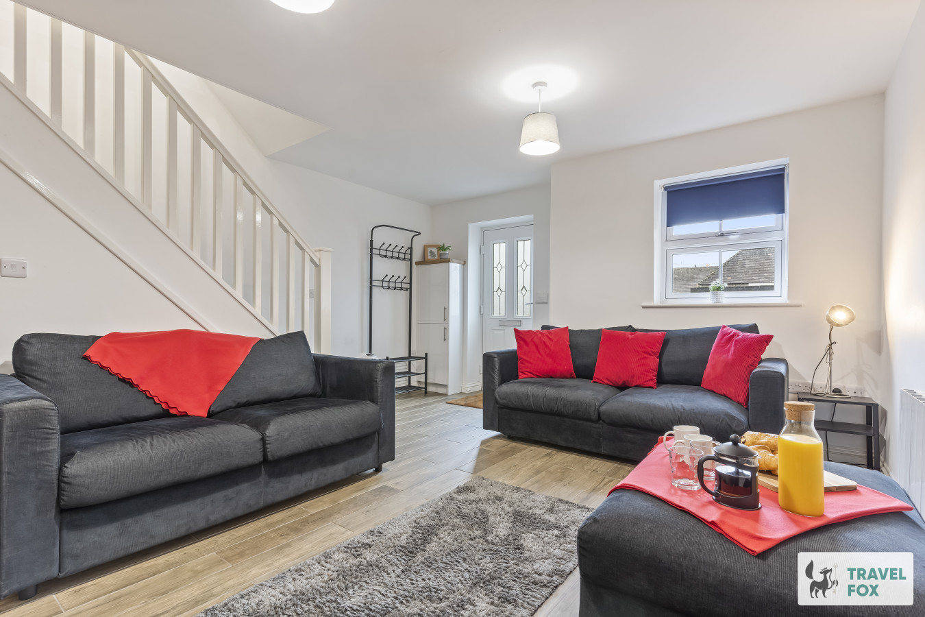
Leek
Amy's House: 20mins Alton Towers
- Sleeps 6
- 2 bedrooms
For homeowners
Own a holiday home near Tideswell?
We manage holiday lets across the Peak District from 12% commission, charged after cleaning costs, with no lock-in. A co-founder visits before you decide.
Holiday let management in the Peak District →
A guide with a point of view
Written from research. Edited for real journeys.
Use the Official site links for live practical details, then use this guide for context, ideas and room to explore.
Photography credits & licences
Third-party photographs are credited to their named creators and reused under the linked Creative Commons licence or public-domain dedication. Travel Fox stores an optimised local copy; the file-specific changes and any browser-applied display crop are disclosed below. Reused photographs link both to the Wikimedia Commons source record and to the declared source image; Travel Fox's own photographs carry no such record and are marked as ours. These image licences do not cover Travel Fox text, branding or page design.
- File:St John The Baptist Church, Tideswell - geograph.org.uk - 4329507.jpg — photograph by Ian S; St John The Baptist Church, Tideswell by Ian S. Source record on Wikimedia Commons. Declared source image. Licence: CC BY-SA 2.0. File changes: Downloaded from Wikimedia Commons, resized to a maximum 1920px edge and encoded as an optimised JPEG. Display changes: Displayed with responsive CSS cropping.
- File:Looking down into Millers Dale from the Monsal Trail - geograph.org.uk - 7035217.jpg — photograph by Tim Heaton; Looking down into Millers Dale from the Monsal Trail by Tim Heaton. Source record on Wikimedia Commons. Declared source image. Licence: CC BY-SA 2.0. File changes: Downloaded from Wikimedia Commons, resized to a maximum 1920px edge and encoded as an optimised JPEG. Display changes: Displayed with responsive CSS cropping.
- File:Monsal Head - geograph.org.uk - 3891960.jpg — photograph by Anthony Parkes; Monsal Head by Anthony Parkes. Source record on Wikimedia Commons. Declared source image. Licence: CC BY-SA 2.0. File changes: Downloaded from Wikimedia Commons, resized to a maximum 1920px edge and encoded as an optimised JPEG. Display changes: Displayed with responsive CSS cropping.