
Manor, mountain and bay
Y Rhiw
A tiny high hamlet where an old manor, steep walking and the long sweep of Porth Neigwl shape the visit.
- Best for
- Steep coastal walking and secluded coves
- Give it
- A full day for the manor, hills and shore
- Don't miss
- The views from Mynydd Rhiw
The Fox verdict
A small hamlet with an unusually deep horizon
Come for the mountain, then let the mining remains and sea widen the day.
Y Rhiw has no pub or shop, but it has the manor's ornamental garden and woodland, a short steep summit climb, paths toward Porth Ysgo and a shoreline marked by shipwreck and mining history.
Where to go
Places in Y Rhiw
Every place below is checked against a published source, listed with what it is and how long to give it.
Local signatures
3 placesMynydd Rhiw
A 304-metre summit with views toward Snowdonia, Cardigan Bay and, on clear days, the Pembrokeshire coast and Wicklow Mountains.
- Visit length
- Editorial estimate: allow around 2 hours
- Locality
- Mynydd Rhiw, above Y Rhiw
Porth Ysgo
A secluded cove with the Pistyll y Gaseg waterfall and ruined manganese workings on the slopes above the beach.
- Visit length
- Editorial estimate: allow around 2 hours
- Locality
- Porth Ysgo
- Access
- The cove is reached by steps; the waterfall is best at mid-to-low tide after rain.
Porth Neigwl (Hell's Mouth)
A four-mile surf beach with strong rips and records of more than 140 shipwrecks.
- Visit length
- Editorial estimate: allow around 90 minutes
- Locality
- below Y Rhiw
- Access
- Strong rips make the beach best for intermediate or advanced surfers and stronger swimmers.
Food & drink
2 placesThe Ship Hotel (Gwesty'r Llong)
A village inn run by the Harrison family since 1982, serving locally sourced food including locally caught crab and lobster.
- Visit length
- Editorial estimate: allow around 75 minutes
- Locality
- a few metres from Aberdaron beach
Tŷ Newydd
A shorefront hotel and inn with lunch and evening menus, local brewery beers and an outside terrace with beach and sea views.
- Visit length
- Editorial estimate: allow around 75 minutes
- Locality
- in the centre of Aberdaron village, right on the shore
History & heritage
2 placesSt Aelrhiw's Church
A Grade II listed church first recorded in 1254, with graves of World War I bodies washed ashore at Porth Neigwl in its churchyard.
- Visit length
- Editorial estimate: allow around 30 minutes
- Locality
- Y Rhiw, on the slopes of Mynydd Rhiw
- Access
- The church is disused.
Ffynnon Aelrhiw
A Grade II* listed holy well, roughly ten feet square, with paving, stone seats on three sides and a white standing stone at the entrance.
- Visit length
- Editorial estimate: allow around 20 minutes
- Locality
- Y Rhiw, south of St Aelrhiw’s Church
No places match this filter. Choose All places to reset the list.
Three ways to explore Y Rhiw
Signature outings
The well where pilgrims saw the sea
Find the stone-lined Ffynnon Aelrhiw below the church, one of the final stopping places on the pilgrim route to Bardsey Island.
Shipwreck stories at Hell's Mouth
Take in Porth Neigwl's four-mile sweep, a well-known surf beach with more than 140 recorded shipwrecks.
A church above the sea
Visit disused St Aelrhiw's, first recorded in 1254, whose churchyard holds graves of men washed ashore at Porth Neigwl.
The village story
Y Rhiw Village Guide
A manor restored around wild bees, a mountain pass above Cardigan Bay and paths rich in mining and pilgrimage history.
The manor, the bees and the garden
Honey sometimes seeps through the walls of Plas yn Rhiw. Around fifty thousand rare Welsh black honeybees live in the eaves of the manor, and when the National Trust re-roofed the house in 2024–25 with four thousand Penrhyn slates, the work was done around five swarms of them. The manor is the reason most people come to Y Rhiw, a small hamlet set high in the pass between Mynydd Rhiw and Mynydd y Graig, looking down over the four-mile sweep of Porth Neigwl.
The house has a tearoom, described by those who have been as very attractive, with tables out among the ornamental gardens and views across Cardigan Bay. It calls itself the only organic National Trust garden in Wales. There is no butcher, no shop, no deli here — the village is tiny, and provisions come from Aberdaron or Abersoch.
Aberdaron tables and upland paths
There is also no pub. The nearest are in Aberdaron, about 3.5 miles away in a straight line; the road is longer. The Ship Hotel, or Gwesty'r Llong, stands a few metres from the beach and has been run by the Harrison family since 1982; it regularly serves award-winning crab and lobster landed locally. Tŷ Newydd sits right on the shore in the centre of the village, with a terrace over the sea and beers from local breweries.
What Y Rhiw has instead is the walking. Mynydd Rhiw itself is 304 metres — a short, steep climb from which, on a clear day, you can see Snowdonia, Cardigan Bay, the Pembrokeshire coast, and the Wicklow Mountains in Ireland. A quieter route drops down toward Porth Ysgo, a secluded cove reached by steps, where a waterfall called Pistyll y Gaseg, the mare's spout, runs best at mid-to-low tide after rain. Ruined manganese workings stand on the slopes above the beach.
Manganese and Hell's Mouth
The manganese is the local history. Ore was found in 1827, and the Benallt and Rhiw mines produced over 195,000 tons before they closed in 1945 — more than half of all the manganese Wales ever raised. An aerial ropeway once carried it over the growing village to a jetty on Porth Neigwl. Benallt Mine is the first place three mineral species were ever described, one of them named cymrite, for Wales.
The beach below is also called Hell's Mouth, and more than 140 shipwrecks are recorded there. It is one of the better-known surf beaches in Wales, though the rips are strong enough that it is really for stronger swimmers.
Church, well and the Keating legacy
St Aelrhiw's church stands about 0.7 miles northeast of Y Rhiw in a straight line, first recorded in 1254 and now disused. Its churchyard holds the graves of men washed ashore at Porth Neigwl. About 180 yards south of the church is Ffynnon Aelrhiw, a holy well roughly ten feet square with stone seats on three sides, one of the last places pilgrims heading for Bardsey Island could stop and see the sea again.
The Keating sisters bought Plas yn Rhiw in 1939, derelict, and had to climb in through a front window because brambles had blocked the door. When they handed it to the Trust, they set one condition: that the wild bees be left undisturbed.
Stay around Snowdonia
Make a longer stay of it
Travel Fox holiday homes around Snowdonia, linked directly to their property pages.
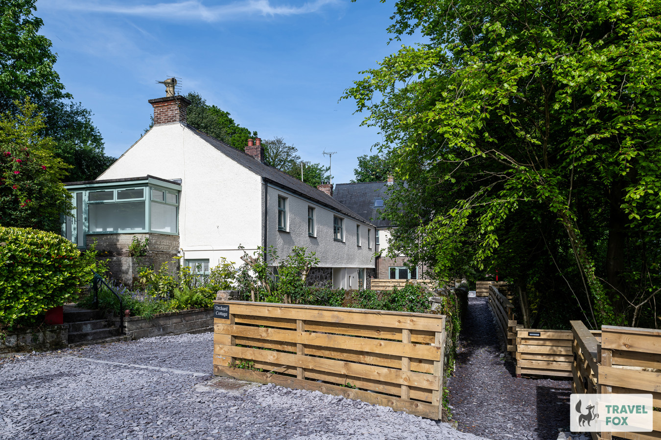
Caernarfon
Orchard Cottage and Hot Tubs
- Sleeps 25
- 8 bedrooms
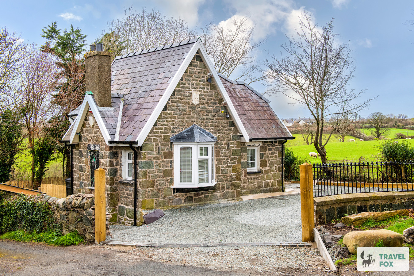
Caernarfon
Katie's Cottage & Hot Tub - Snowdon 20mins drive
- Sleeps 9
- 3 bedrooms
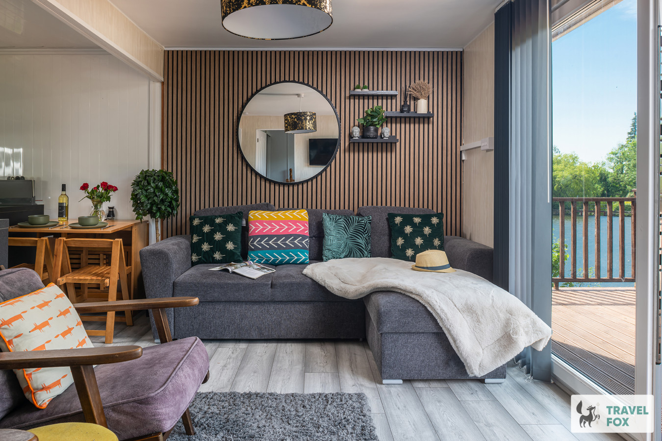
Waunfawr
Lakeside Lodge
- Sleeps 6
- 2 bedrooms
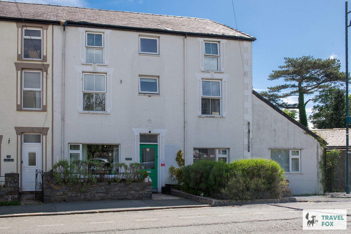
Llanberis
Glyn Afon: At the foot of Mount Snowdon!
- Sleeps 16
- 9 bedrooms
Aberdaron
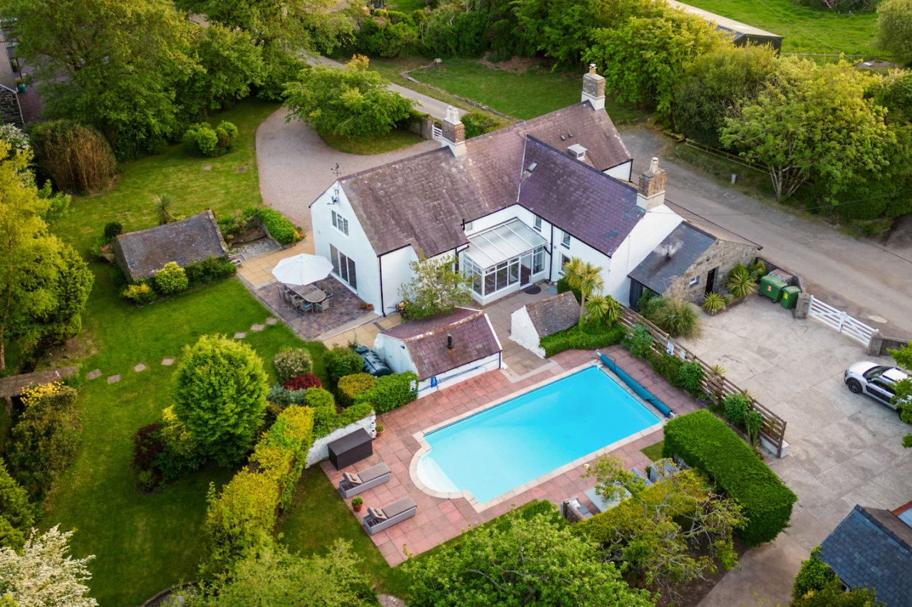
Plas Newydd with Swimming Pool
- Sleeps 16
- 7 bedrooms
For homeowners
Own a holiday home near Y Rhiw?
We manage holiday lets across Gwynedd from 12% commission, charged after cleaning costs, with no lock-in. A co-founder visits before you decide.
Holiday let management in Gwynedd →
A guide with a point of view
Written from research. Edited for real journeys.
Use the Official site links for live practical details, then use this guide for context, ideas and room to explore.
Sources
Every place on this page is checked against a published source. Each entry links the record we used and names who publishes it.
- Mynydd Rhiw — coflein.gov.uk statutory register or public authority
- Porth Ysgo — walescoastpath.gov.uk statutory register or public authority
- Porth Neigwl (Hell's Mouth) — visitwales.com operator, sector body or destination organisation
- St Aelrhiw's Church — coflein.gov.uk statutory register or public authority
- Ffynnon Aelrhiw — coflein.gov.uk statutory register or public authority
- The Ship Hotel (Gwesty'r Llong) — theshiphotelaberdaron.co.uk operator, sector body or destination organisation
- Tŷ Newydd — gwesty-tynewydd.co.uk operator, sector body or destination organisation