
The Woodland Quarter
Croxton
A Staffordshire border village of dressed wells, sandstone hills and walks through alder woodland.
- Best for
- Well dressing, woodland and sandstone walks
- Give it
- Time for the 6.5-mile Heritage Trail
- Don't miss
- Jackson's Coppice boardwalk
The Fox verdict
A small village with a strong walking rhythm
Croxton rewards a well-timed visit with community tradition, Victorian detail and paths into wet woodland and sandstone hills.
Croxton's well dressing is its most distinctive occasion. St Paul's adds Victorian history, while the Heritage Trail and Millennium Wood offer woodland walking. Nearby Sugnall Hall has an 18th-century walled garden with volunteer-led visits.
Where to go
Places in Croxton
Every place below is checked against a published source, listed with what it is and how long to give it.
Local signatures
3 placesSugnall Walled Garden
An 18th-century walled kitchen garden where volunteers grow fruit, vegetables and flowers.
- Visit length
- Editorial estimate: Allow around 75 minutes
- Locality
- at Sugnall crossroads
- Access
- Volunteer-led visits are arranged through Sugnall Hall; the estate requests a donation towards running costs.
St Paul's Church, Croxton
A plain Victorian church erected in 1854, with three saint-filled lancet windows and an organ installed by Hill & Son of London in 1873.
- Visit length
- Editorial estimate: Allow around 30 minutes
- Locality
- on the B5026 at Croxtonbank
- Access
- Festival-year access is provided for the poetry and music concert.
Millennium Wood
A community-planted woodland used as a village gathering space during the well dressing festival.
- Visit length
- Editorial estimate: Allow around 45 minutes
- Locality
- at Croxton
Walks & outdoors
1 placeCroxton Heritage Trail
A 6.5-mile route passing restored Walk Mill Pool and the Jackson's Coppice boardwalk through flooded alder woodland.
- Visit length
- Editorial estimate: Allow around 3 hours 30 minutes
- Locality
- through Croxton, Sugnall and the Woodland Quarter
History & heritage
1 placeCroxton Wells Trail
A village trail linking Boughey's Well, the Slopping Well, the Cattery Well and Well No. 3, dressed with natural materials pressed into clay-lined boards.
- Visit length
- Editorial estimate: Allow around 60 minutes
- Locality
- around Croxton's four historic wells
- Access
- The decorated boards appear during the biennial festival.
No places match this filter. Choose All places to reset the list.
Three ways to explore Croxton
Signature outings
Inside the Garden Walls
Sugnall Hall connects visitors with volunteers for a visit to the 18th-century kitchen garden, where fruit, vegetables and flowers grow.
Four Dressed Wells
Follow Croxton's four-well trail; during the biennial festival, decorated boards mark Boughey's Well, the Slopping Well, the Cattery Well and Well No. 3.
Pool, Coppice and Boardwalk
Visit Jackson's Coppice for spring bluebells or autumn colour; the marsh boardwalk gives views over the wetland without wet feet.
The village story
Croxton's Wells, Woods and Old Roads
Old roads, dressed wells and sandstone paths give this border village a character larger than its size.
Old Roads, New Rhythms
Croxton Country Stores operates its CCS Guns shop at Croxton Service Station, selling shotguns, rifles, air rifles, ammunition and shooting accessories. The forecourt also sells petrol and diesel, so the village stop serves motorists as well as country-sports customers.
There's no pub in Croxton itself. The former Swan with Two Necks coaching inn survives opposite Boughey's Well as a long, low half-timbered building. Samuel Boughey later ran a bakery there, and the well took his name. For a drink, Eccleshall lies to the east and Loggerheads to the west. Norton Bridge station ceased passenger service in 2017; trains now run from Stafford and Stone.
Garden Walls and Lancet Light
About 1.1 miles from Croxton in a straight line is Sugnall Walled Garden, an 18th-century kitchen garden growing fruit, vegetables and flowers. Visits are arranged through the estate, with volunteers showing visitors around in return for a donation.
St Paul's church dates from 1854, a plain Victorian build rather than anything medieval. Three lancet windows depict St Stephen, St Paul and St John, and the organ, by Hill & Son of London, went in in 1873. Every couple of years it hosts the poetry and music concert that closes the well dressing festival.
Dressed Wells and Woodland Paths
The biennial well dressing festival links four village wells with natural materials pressed into clay-lined boards: Boughey's Well, the Slopping Well, the Cattery Well and Well No. 3. The June 2025 designs marked eighty years since VE Day and honoured the Women's Land Army and the Swynnerton munitions workers, known locally as the Swynnerton Roses. The 2025 festival cost over a thousand pounds to put on.
The 6.5-mile Heritage Trail passes Walk Mill Pool and Jackson's Coppice. A boardwalk crosses the marsh's flooded alder woodland, with bluebells in spring and changing colour in autumn.
Sandstone Heights and Older Names
Langot Lane lies amid Croxton's rolling sandstone hills and rocky outcrops. The River Sow rises near the village and flows through the Langot Valley.
Croxton turns up in the Domesday survey as Crochestone, in the hundred of Pirehill: ten households, three ploughlands, worth one pound a year to the Bishop of Chester. Four roads still meet at the village centre, on what was once the London-to-Chester coaching road. The windmill on Windmill Lane is Grade II listed; the former tower has since been converted for residential use.
A Village Kept in Common
The parish planted Millennium Wood and still checks on it every year as it matures. Every festival it fills with stalls and a barbecue. Liz and David Hemingway took over running the well dressing in 2025, from Ros and Ken Langford, who had done it for six festivals before them.
Stay around Staffordshire
Make a longer stay of it
Travel Fox holiday homes around Staffordshire, linked directly to their property pages.
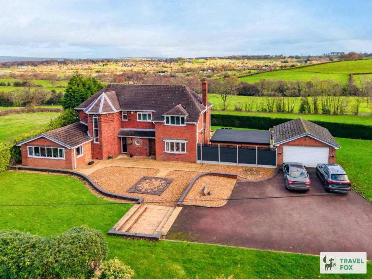
Cheddleton
Greenways House - Parking, Pool Table and Garden!
- Sleeps 10
- 4 bedrooms
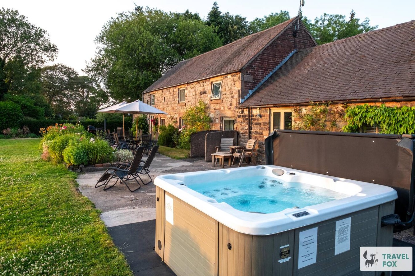
Cheddleton
Lee House Cottage + Annexe
- Sleeps 19
- 8 bedrooms
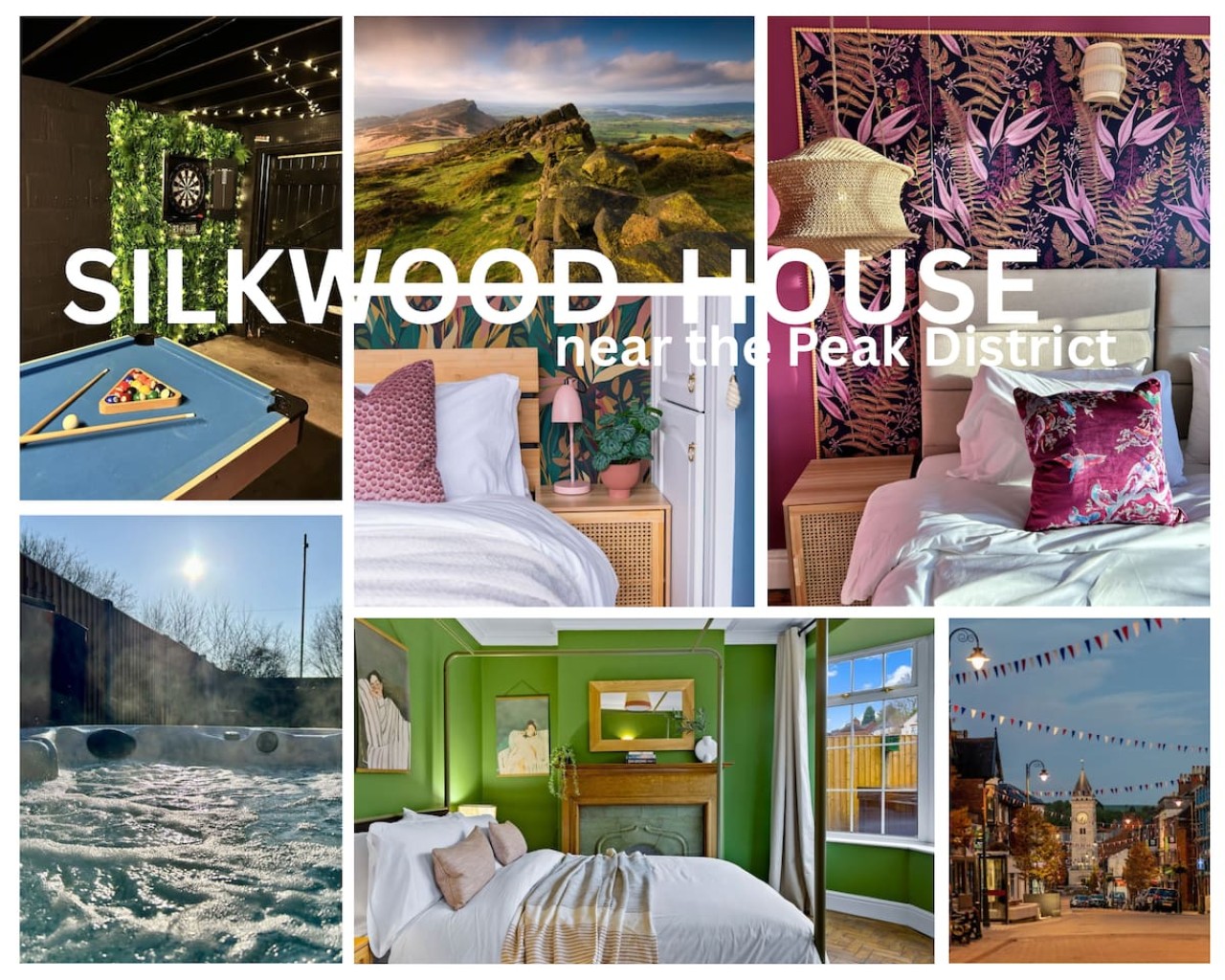
Leek
Silkwood House | Boutique 4 Bed nr. Peak District
- Sleeps 8
- 4 bedrooms
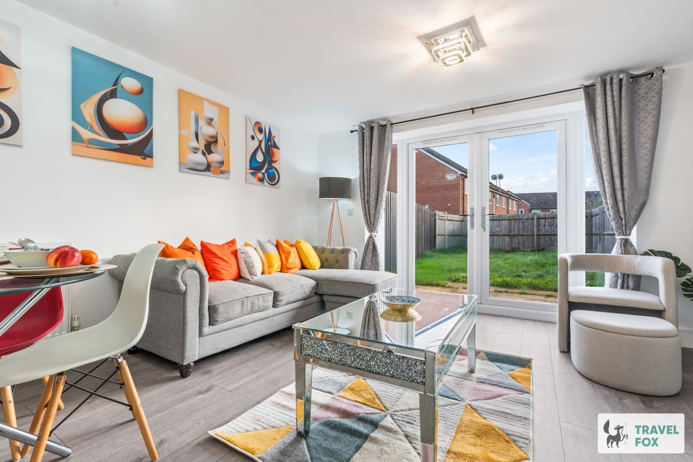
Stoke-on-Trent
Heather's House
- Sleeps 6
- 2 bedrooms
For homeowners
Own a holiday home near Croxton?
We manage holiday lets across Staffordshire from 12% commission, charged after cleaning costs, with no lock-in. A co-founder visits before you decide.
Holiday let management in Staffordshire →
A guide with a point of view
Written from research. Edited for real journeys.
Use the Official site links for live practical details, then use this guide for context, ideas and room to explore.
Sources
Every place on this page is checked against a published source. Each entry links the record we used and names who publishes it.
- Sugnall Walled Garden — sugnallhall.com operator, sector body or destination organisation
- St Paul's Church, Croxton — historicengland.org.uk statutory register or public authority record not machine-readable; publisher restricts automated access
- Croxton Heritage Trail — croxtonwelldressing.weebly.com other published source
- Croxton Wells Trail — croxtonwelldressing.weebly.com other published source
- Millennium Wood — eccleshallparishcouncil.gov.uk statutory register or public authority