
North Norfolk coast
Blakeney
A flint-built harbour village where church towers once guided ships home and the salt marsh begins at the end of the street.
- Best for
- Wild coast & slow days
- Give it
- A full day or weekend
- Don't miss
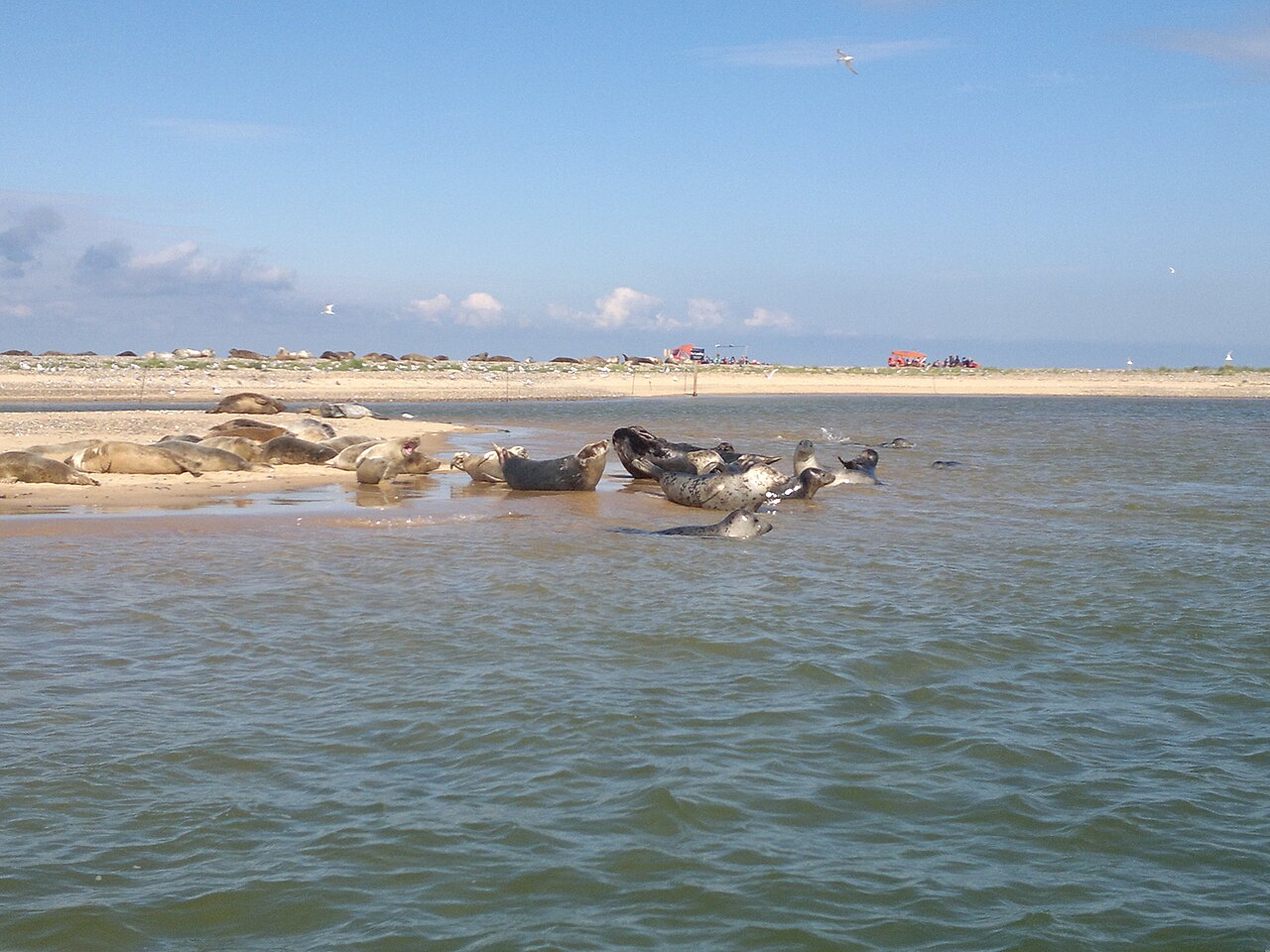
- The seals at the Point
Photo: Leia Rodrigues · CC BY-SA 4.0 · cropped
The Fox verdict
Come for the seals. Stay for the stories.
Blakeney's magic is in the overlap: a proper village pub beside a medieval port, children crabbing beneath a skyline shaped by merchants, and open marshland that makes every sunset feel cinematic.
This is not a checklist destination. Choose one anchor experience, then leave room for a long lunch and an unplanned walk along the quay.
Your picks, your pace
Make Blakeney yours
Filter the guide or choose a mood, then save the places that catch your eye. Your list is an ordering aid, with a direct map route when you are ready to explore.
Local signatures
3 places
Start here
Blakeney Quay
Start where the creek meets the village: boats, marsh views and the time-honoured business of crabbing.
- Visit length
- Editorial estimate: 1 hour
- Locality
- In the village
Blakeney Point
A four-mile shingle spit, an extraordinary nature reserve and the wild edge that gives Blakeney its character.
- Visit length
- Editorial estimate: 2+ hours
- Locality
- By boat or long walk
- Access
- Access depends on tide, weather and route choice; check the Official site before travel.
Norfolk Coast Path
Go west towards Morston or east towards Cley beside reed beds, tidal creeks and the famously big Norfolk sky.
- Visit length
- Editorial estimate: 1–3 hours
- Locality
- Starts at the quay
Food & drink
3 placesThe King's Arms
A Georgian inn by the quay, with a traditional bar made for local conversation.
- Visit length
- Editorial estimate: 1½ hours
- Locality
- In the village
The White Horse
A polished former coaching inn for local produce, sea-view rooms and a courtyard just above the quay.
- Visit length
- Editorial estimate: 1½ hours
- Locality
- In the village
Wiveton Hall
A colourful coastal estate between Blakeney and Cley, known for its views, gardens and café.
- Visit length
- Editorial estimate: 1½ hours
- Locality
- Worth the short drive
Walks & outdoors
4 placesMorston Quay
The atmospheric departure point for seal boats, with saltmarsh paths and enormous skies around the harbour edge.
- Visit length
- Editorial estimate: 45 min
- Locality
- Worth the short drive
Cley Marshes
A landmark Norfolk Wildlife Trust reserve of hides, reedbeds and wide views across the marsh.
- Visit length
- Editorial estimate: 2 hours
- Locality
- Worth the short drive
Holt Country Park
Woodland trails and heathland on the edge of Holt, a calm counterpoint to the open coast.
- Visit length
- Editorial estimate: 1–2 hours
- Locality
- Worth the short drive
Sheringham Park
A Repton landscape of woodland and sea views, with waymarked routes through the estate.
- Visit length
- Editorial estimate: 2–3 hours
- Locality
- Worth the short drive
History & heritage
3 placesSt Nicholas' Church
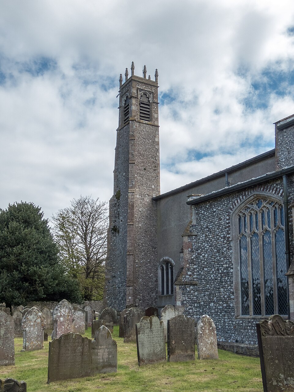
A rare medieval church with two towers, one most likely used as a leading light for ships entering the harbour.
- Visit length
- Editorial estimate: 45–60 min
- Locality
- 10 min walk
Blakeney Guildhall
See the brick-vaulted undercroft of a wealthy medieval merchant's house, a survivor of Blakeney's port years.
- Visit length
- Editorial estimate: 30 min
- Locality
- In the village
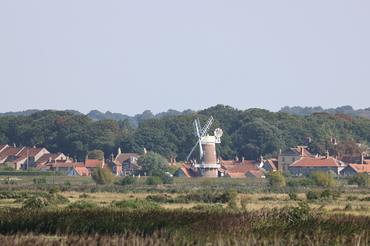
Cley Windmill
The five-storey landmark that marks Cley's old harbour line, with sea walls and village lanes all around it.
- Visit length
- Editorial estimate: 45 min
- Locality
- Worth the short drive
Things to do
1 placeBeans Boat Trips
A family-run boat trip through the harbour to watch common and grey seals hauled out on the sandbanks.
- Visit length
- Editorial estimate: around 1½ hours
- Locality
- From Morston Quay
- Access
- Boat trips are weather- and tide-dependent; check availability and booking details before travel.
No places match this filter. Choose All places to reset the list.
On the map
Blakeney at a glance
Tap a marker to jump to its guide card.
Three ways to explore Blakeney
Signature outings
Take the seal boat
Follow the creeks out from Morston to the sandbanks of Blakeney Point.
See the mariners' church
Two towers and a view made for understanding the coast.
Follow the coast to Cley
Saltmarsh, sea walls and one of Norfolk's most memorable horizons.
The village story
A port built by tides, stories and stubbornness
Blakeney has been an island, a pirate town, Norfolk's third port and a place where church towers steered ships through the sandbanks.
Inns by the water
The roof of the King's Arms has a date picked out in its tiles: 1760, when three fishermen's cottages just off the quay were re-roofed into a single inn. It is the oldest pub in Blakeney, a Grade II listed Georgian building on Westgate Street, yards from the water. Before Blakeney, landlady Marjorie Davies was a West End dancer and singer; Olivia Colman later waited tables here as a schoolgirl during the holidays.
The King's Arms has survived the floods of 1978 and 2014 and shows no particular sign of being impressed by either. Its place beside the quay still makes the bar part of Blakeney's everyday conversation.
A little further up the High Street, the White Horse is a former coaching inn. It leans cosier and more indulgent, with a courtyard behind and rooms above, some looking out to sea.
The quay and the Point
The quay is where Blakeney spends its time. Behind the shingle ridge of Blakeney Point lies a maze of saltmarsh, tidal creeks and mudflats, and the flint cottages sit just inland where the land gives way to water. The creek is prime ground for crabbing, the single most reliable way to occupy a child beside the harbour.
Boats leave the harbour for Blakeney Point and the common and grey seals hauled out on its sandbanks. The Point went to the National Trust in 1912 after a public appeal initiated by Charles Rothschild and organised by Professor Francis Wall Oliver and Dr Sidney Long. It became the oldest nature reserve in Norfolk.
The Norfolk Coast Path runs through the village along the quay before heading east towards Cley-next-the-Sea or west towards Morston, past reed beds, saltmarsh and tidal creeks under the famously big North Norfolk sky.
Two towers, one harbour
Above the port stands the Church of St Nicholas, its tower a landmark for miles. The chancel core dates from around 1296 and most of the rest was rebuilt in the fifteenth century when Blakeney was a working seaport. Inside, the chancel keeps one of only about six surviving Early English vaulted chancels in England, while the nave has a hammerbeam roof of oak and chestnut with carved angels.
The church has two towers. The big west tower is crenellated and pinnacled, while the slender polygonal tower at the north-east corner most likely served as a leading light for mariners, the pair lining up to guide ships through the channels between the sandbanks.
In the Domesday survey of 1086 the settlement appears as Esnuterle. The name Blakeney, meaning “black island”, emerged later for the haven behind the shingle.
Merchants, smugglers and silence
A Carmelite friary was founded here in 1296 and dissolved in 1538. A length of medieval flint wall with a gateway survives north of Friary Farmhouse. Between those dates came Blakeney's least reputable period: for years from 1328 its men were notorious for boarding Flemish vessels and taking the cargo.
By the fifteenth century Blakeney was Norfolk's third most important port, and the Guildhall was built to match. What survives is the brick-vaulted undercroft of a wealthy merchant's house, with ribbed brick vaulting over a cobbled floor. It housed the fish merchants' guild, granted a charter by Henry VIII in 1516, and is cared for by English Heritage.
The port did not last. Cley and Wiveton silted up first; Blakeney's channel was deepened in 1817 and packet ships ran to Hull and London from 1840, before larger ships and more silt ended the trade. What remains is the marsh, the birds, the seals and the quiet.
Arrive slowly
The A149 coast road is the main approach, while Sheringham is the nearest rail town. Whichever way you come, the last stretch is part of the experience: flint villages, sudden marsh views and the horizon opening towards the sea.
As the light softens, the halyards go on clinking and somewhere along the quay a child is still crouched over a bucket, checking a line for one more crab before tea.
Stay around Norfolk
Make a longer stay of it
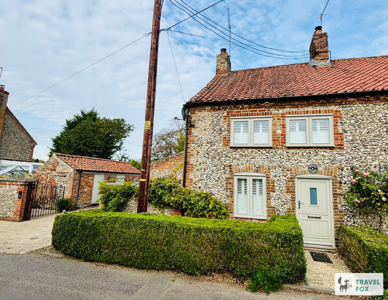
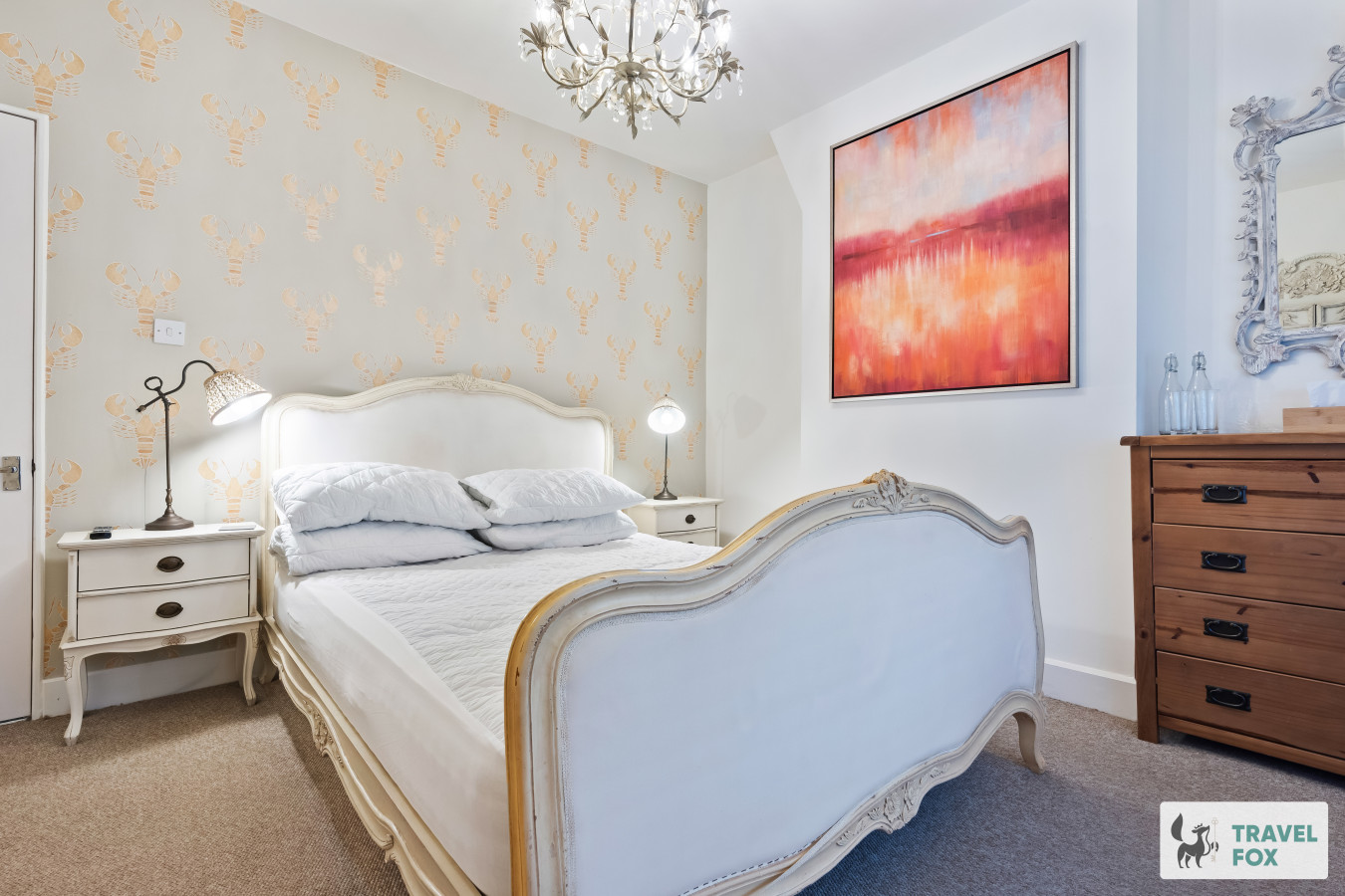
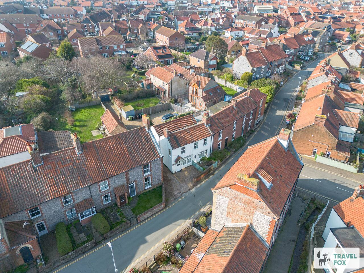
Travel Fox holiday homes around Norfolk, linked directly to their property pages.
A guide with a point of view
Written from research. Edited for real journeys.
Use the Official site links for live practical details, then use this guide for context, ideas and room to explore.
Photography credits & licences
Third-party photographs are credited to their named creators and reused under the linked Creative Commons licence or public-domain dedication. Travel Fox stores an optimised local copy; the file-specific changes and any browser-applied display crop are disclosed below. Reused photographs link both to the Wikimedia Commons source record and to the declared source image; Travel Fox's own photographs carry no such record and are marked as ours. These image licences do not cover Travel Fox text, branding or page design.
- File:Bell Tower, St Nicholas Parish Church, Blakeney, Norfolk - geograph.org.uk - 5374296.jpg — photograph by Christine Matthews; © Christine Matthews. Source record on Wikimedia Commons. Declared source image. Licence: CC BY-SA 2.0. File changes: Copied without byte modification from Wikimedia's declared rendition. Display changes: Displayed with CSS cropping.
- File:Blakeney Point Natural Nature Reserve - Seals Norfolk UK.jpg — photograph by Leia Rodrigues; © Leia Rodrigues. Source record on Wikimedia Commons. Declared source image. Licence: CC BY-SA 4.0. File changes: Copied without byte modification from Wikimedia's declared rendition. Display changes: Displayed with CSS cropping.
- File:Cley next the Sea from the path from Blakeney, Norfolk - geograph.org.uk - 7357837.jpg — photograph by Christine Matthews; © Christine Matthews. Source record on Wikimedia Commons. Declared source image. Licence: CC BY-SA 2.0. File changes: Copied without byte modification from Wikimedia's declared rendition. Display changes: Displayed with CSS cropping.