
Tide, marsh and harbour
Brancaster
A three-settlement parish of working shellfish, tidal marshes, wide sands and Roman traces.
- Best for
- Coastal walking, shellfish and tidal landscapes
- Give it
- A day across Brancaster, the Staithe and Burnham Deepdale
- Don't miss
- The SS Vina posts revealed at low tide
The Fox verdict
A working coast shaped by the tide
Come for wide sands, marsh-edge walking and seafood tied directly to Brancaster Staithe's fishing life.
Brancaster joins a family beach and tidal marshes to a working shellfish harbour, two distinctive pubs, a nearly five-mile circular and a church rich in medieval detail and reused Roman stone.
Where to go
Places in Brancaster
Every place below is checked against a published source, listed with what it is and how long to give it.
Local signatures
3 placesThe Jolly Sailors
A family-and-dog-friendly pub whose Brancaster Brewery ales use Maris Otter barley from Branthill Farm, with pub classics and Tom's Brancaster mussels.
- Visit length
- Editorial estimate: Allow around 75 minutes
- Locality
- Brancaster Staithe
- Access
- Muddy boots and well behaved dogs are welcome.
Brancaster Staithe Circular
A nearly five-mile loop over Barrow Common, past Branodunum and the SS Vina wreck, with marsh views and wading birds.
- Visit length
- Editorial estimate: Allow 1.5–2 hours
- Locality
- Brancaster Staithe and Burnham Deepdale
- Access
- Tidal conditions can flood the road to Brancaster Beach car park at high tide.
RSPB Titchwell Marsh
A coastal reserve with hides over freshwater and saltwater lagoons, reedbeds and beach.
- Visit length
- Editorial estimate: Allow around 2 hours
- Locality
- Titchwell, about 2 miles from Brancaster
Food & drink
2 placesThe White Horse
A gastropub, seafood restaurant and coastal hotel on the tidal marsh, with seasonal menus built around local fishermen's catch.
- Visit length
- Editorial estimate: Allow around 90 minutes
- Locality
- Brancaster Staithe, on the tidal marsh
- Access
- Dogs are welcome.
Dalegate Market
A small shopping cluster with crafts, clothing, food, cycle hire, a café and a supermarket.
- Visit length
- Editorial estimate: Allow around 60 minutes
- Locality
- Deepdale/Burnham Deepdale
History & heritage
1 placeChurch of St Mary the Virgin
A Grade I church with 12th-century evidence, reused Roman stone, a telescoping 1493 font cover and a wooden clock used to time sermons.
- Visit length
- Editorial estimate: Allow around 45 minutes
- Locality
- Brancaster
Things to do
1 placeBrancaster Beach
Vast sands and dunes where the SS Vina's blackened posts and a submerged forest can appear at low tide.
- Visit length
- Editorial estimate: Allow around 90 minutes
- Locality
- Brancaster
- Access
- The tide races in around the SS Vina wreck, which is a drowning hazard; the beach road can flood at high tide.
No places match this filter. Choose All places to reset the list.
Three ways to explore Brancaster
Signature outings
A wreck revealed by the tide
See the SS Vina's blackened posts appear at low tide from Brancaster Beach, while keeping clear of a wreck made dangerous by the racing tide.
Roman stone, medieval craft
Look for reused Roman stone, then find the carved 1493 font cover that folds upward like a telescope inside St Mary's.
Seafood with a tidal view
Choose a seasonal menu built around local fishermen's catch at the White Horse, beside Brancaster Staithe's tidal marsh.
The village story
Brancaster Village Guide
Beer brewed beside the pub, shellfish worked from tidal creeks and a coast where every visit answers to the water.
Two pubs beside the marsh
At the Jolly Sailors in Brancaster Staithe the beer is grown down the road. Brancaster Brewery runs out of the pub itself, brewer Mark Riches working to the pub's own recipes with Maris Otter barley from Branthill Farm, so the malt barely travels. It's the family-and-dog pub of the three settlements strung along the A149, and the menu runs to homemade steak and ale pie, beer-battered fish and chips, a Jolly chicken curry, fourteen-hour smoked pulled pork, and Tom's Brancaster mussels in season. One TripAdvisor reviewer called it "my favourite dog friendly pub in Norfolk". There are blankets and treats for the dogs, and a beer garden for everyone else.
A little along the marsh is the White Horse, a gastropub, seafood restaurant and hotel all at once, with two AA Rosettes and a menu built around whatever the village fishermen land. The Nye family bought it run-down in 1994, when it was called the Lobster Pot and a caravan park sat where the car park is now. The conservatory and terrace look over the tidal marsh, which visitors keep calling one of the best views on the coast.
Shellfish, sand and a wartime wreck
The mussels are not heritage. Tom Large comes from a long line of Brancaster fishermen and still rakes them by hand from the shallow creeks with his partner Sarah, harvesting between October and March. Cyril and Ben Southerland, father and son, farm oysters and mussels in the harbour. Gurney's Fish Shop began as a ten-square-foot room known as the Hole in the Wall, the first fishmonger on the coast road, and now runs the deli inside the refurbished village hall.
Brancaster Beach is vast sand and dunes, and it comes with a warning. Blackened posts stand out at low tide: the SS Vina, a coaster bought by the Ministry of War in 1944 for RAF bombing practice and left to sink at the harbour mouth. The tide races in fast enough that the wreck is a real drowning hazard. A submerged forest, compacted to something like peat, surfaces on the same beach when the water drops.
A coast governed by the tide
Everything runs on the tide here. At high water the Royal West Norfolk Golf Club, founded 1892 and reached across a causeway the sea washes over, becomes an island and can't be reached.
The Norfolk Coast Path runs straight through the parish along the marsh edge. The Brancaster Staithe Circular loops nearly five miles over Barrow Common, past the site of the Roman fort of Branodunum and the Vina wreck, with brent geese and oystercatchers for company.
Roman stone and the lost railway
St Mary's church reused Roman stone to block two Norman windows, and keeps a 1493 font cover carved to fold up like a telescope and a diamond-shaped wooden clock for timing sermons.
The railway closed in 1969 and never came back; the nearest working station is King's Lynn, twenty-two miles south, and the Lynx Coastliner 36 stops outside the Jolly Sailors seven days a week.
Sundial over the harbour
Opposite the sailing club stands the Dial House, a 17th-century flint house with Dutch gables and a large sundial over the porch. It was once a pub called the Victory, then home to the wardens who watched over the birds on Scolt Head Island. On summer weekends the harbour fills with boats racing round the island and back.
Stay around Norfolk
Make a longer stay of it
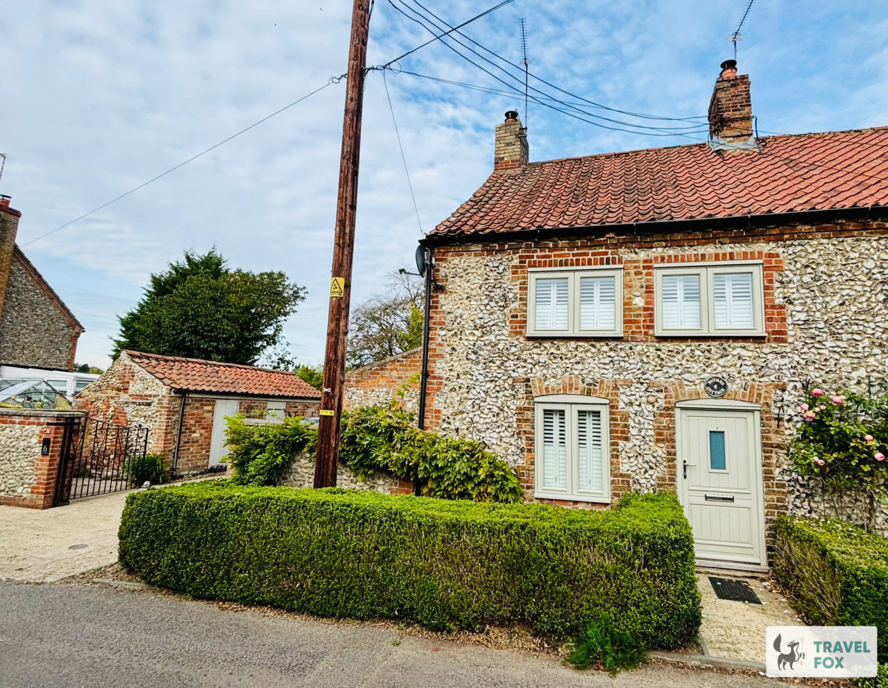
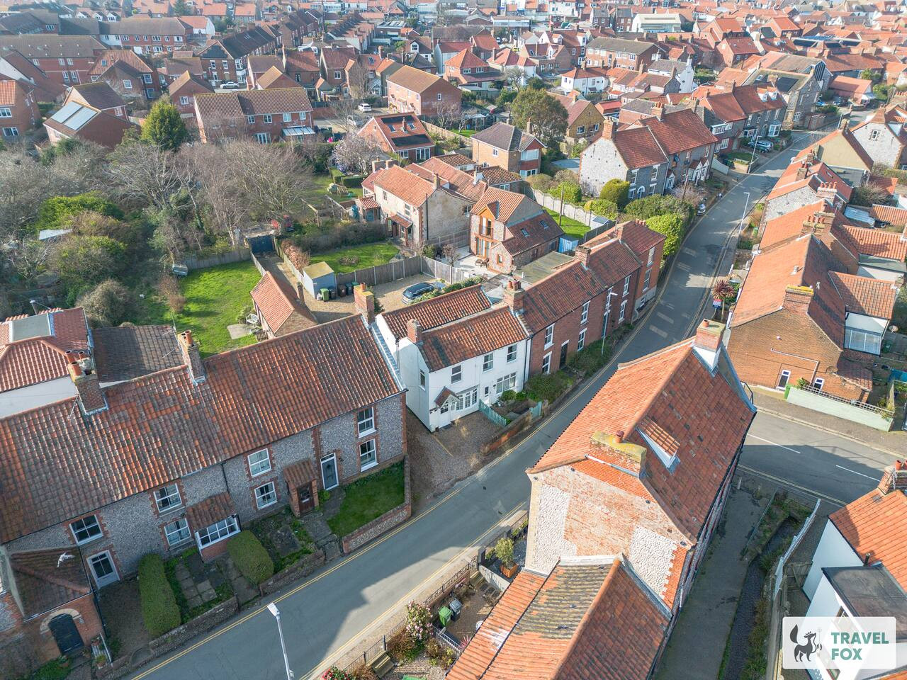
Travel Fox holiday homes around Norfolk, linked directly to their property pages.
A guide with a point of view
Written from research. Edited for real journeys.
Use the Official site links for live practical details, then use this guide for context, ideas and room to explore.
Sources
Every place on this page is checked against a published source. Each entry links the record we used and names who publishes it.
- The Jolly Sailors — jollysailorsbrancaster.co.uk operator, sector body or destination organisation
- The White Horse — whitehorsebrancaster.co.uk operator, sector body or destination organisation
- Brancaster Beach — nationaltrust.org.uk national body or asset manager
- Church of St Mary the Virgin — historicengland.org.uk statutory register or public authority record not machine-readable; publisher restricts automated access
- Brancaster Staithe Circular — nationaltrust.org.uk national body or asset manager
- RSPB Titchwell Marsh — rspb.org.uk national body or asset manager
- Dalegate Market — dalegatemarket.co.uk operator, sector body or destination organisation