
High ridge, deep clough
Bretton
A tiny gritstone hamlet where a centuries-old inn looks over the Hope Valley and paths fall away into wooded Bretton Clough.
- Best for
- Moorland walking, pub views and gliding
- Give it
- A walk and a relaxed pub stop
- Don't miss
- The Hope Valley view from the Barrel Inn
The Fox verdict
Come for the clough, stay for the view
Bretton is a hamlet of about five properties with one inn, a ridge-top panorama and a rewarding circular walk into the clough below.
The Barrel Inn is Bretton's sole commercial premises and offers panoramic views, while the clough circuit of about five miles supplies wooded valleys, steep climbs and traces of vanished farmsteads. Nearby Camphill adds the chance to watch or book a glider flight, and Eyam supplies a named cluster of historic stops.
Your picks, your pace
Make Bretton yours
Choose a mood or build your own list. Your saved stops are an ordering aid, with a direct map route when you are ready.
Local signatures
3 placesBretton Clough Circular
A circular of about 5 miles / 8 km through wooded valleys, scrubland, farm tracks and field paths, passing Stoke Ford and offering distant views to Mam Tor and Stanage Edge.
- Visit length
- Editorial estimate: Allow around 180 minutes
- Locality
- from the Barrel Inn
- Access
- The route includes two fairly steep climbs, stiles and plank bridges.
Eyam Museum
A museum named among the visitor stops in Eyam, the famous plague village close to Bretton.
- Visit length
- Editorial estimate: Allow around 60 minutes
- Locality
- Eyam
St Lawrence's Church, Eyam
The nearest notable church to churchless Bretton and one of the named visitor stops in Eyam.
- Visit length
- Editorial estimate: Allow around 45 minutes
- Locality
- Eyam
Food & drink
1 placeThe Barrel Inn
A traditional Derbyshire inn dating to 1597, with a restaurant, five en-suite rooms, well-kept real ales and outdoor tables with panoramic Hope Valley views.
- Visit length
- Editorial estimate: Allow around 75 minutes
- Locality
- one of about five properties in Bretton
- Access
- Guide dogs only; other dogs are not admitted.
History & heritage
1 placeMompesson's Well
A plague-era exchange point passed on the walk from Bretton to Eyam via Eyam Edge.
- Visit length
- Editorial estimate: Allow around 30 minutes
- Locality
- on foot to Eyam via Eyam Edge
Things to do
1 placeDerbyshire & Lancashire Gliding Club
Gliding has taken place here since 1935; visitors can book a flight or use the public viewing area to picnic and watch gliders take off and land.
- Visit length
- Editorial estimate: Allow around 90 minutes
- Locality
- Camphill Farm, Great Hucklow / Hucklow Edge, near Bretton
- Access
- Trial and accompanied flights are bookable and weather-dependent.
No places match this filter. Choose All places to reset the list.
On the map
Bretton at a glance
Tap a marker to jump to its guide card.
Three ways to explore Bretton
Signature outings
A table with five-county views
Settle into the Barrel Inn for well-kept real ale, hearty pub food and the broad Hope Valley outlook from its outdoor tables.
Gliders over Hucklow Edge
Picnic in the public viewing area while gliders launch and land, or book a weather-dependent accompanied flight.
The well on Eyam Edge
Pause at Mompesson's Well, the plague-era exchange point passed on the walking route from Bretton to Eyam.
The village story
Bretton Village Guide
An inn on the ridge, a clough full of stories and a hamlet small enough to let both dominate.
The highest pub and the smallest hamlet
The Barrel Inn sits on a table of land some 1,300 feet up, which makes it, by its own account, the highest pub in Derbyshire. On a clear day the beer garden looks out over five counties. Most days it looks out over the Hope Valley, which is enough.
It is also, more or less, the whole village. Bretton is a hamlet of about five properties on a gritstone ridge, with no shop, no church, and one commercial premises — the pub. For anything else you go to Eyam or Great Hucklow, down the narrow lanes off the B6465.
Four centuries at the Barrel
A dwelling has stood on the Barrel's site for over 400 years. The building dates to 1597, began as a thatched farmhouse, and has been licensed since 1753, when George Bowman took it on as the first recorded landlord. The thatch is now stone slate. Inside there are stone-flag floors, oak beams, low doorways, nail-studded doors, thick limestone walls and log fires. Di and Phil Cone have run it for 26 years.
The kitchen does steak and ale pie, pan-fried liver and onions, cod loin, fish and chips, toad-in-the-hole, and a forager's pie for vegetarians, with Sunday roasts served noon to five. Reviewers call the prices higher than average and the food worth it. The real ales are well kept and the brands rotate. Dogs, it should be said, are not welcome — guide dogs only.
Caverns, miners and the burial club
The pub's name may have nothing to do with beer barrels. One account traces it to a barrel-shaped underground cavern in the Hucklow Edge lead vein, which is the kind of detail a village this small tends to hold on to.
Lead mining shaped the place. Miners and their families lived here, and Ladywash Mine worked away to the east until 1979. The miners once ran a burial club out of the inn that required two weeks' notice of a death before it would pay out. The rule was so strict there were never any claims, so the fund was spent on an annual Christmas party instead.
Snowbound above the walking country
In January 1947 the snow drifted twenty feet over the windows and cut the inn off for two or three weeks. The publican Stanley Drewett and his wife sat it out. An eyewitness said the building looked like a "huge igloo."
The walking is the reason most people come. The Bretton Clough circular runs about five miles from the pub door, down through wooded valleys to Stoke Ford where two cloughs meet, with two steep climbs and distant views to Mam Tor and Stanage Edge. In the clough itself are the ruins of five deserted homesteads, including 17th-century Gotheredge Farm. Gliders from the Hucklow club, going since 1935, circle the thermals overhead.
Getting there and hiding cattle
Grindleford station, on the Sheffield–Manchester line, is a few miles east; Bakewell is fifteen or twenty minutes south. There is no bus.
In 1745 the farmers of Eyam drove their cattle up into Bretton Clough to hide them from Bonnie Prince Charlie's Highlanders. It is still quiet enough up there that you can see why they chose it.
Stay around Peak District
Make a longer stay of it
Travel Fox holiday homes around Peak District, linked directly to their property pages.
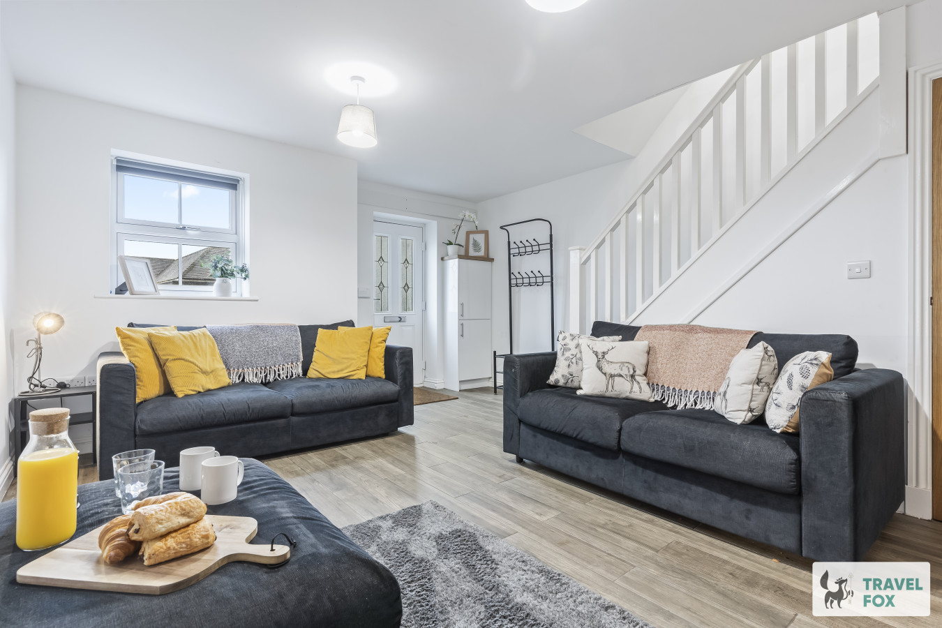
Leek
Lisa's House Leek: 20mins Alton Towers
- Sleeps 6
- 2 bedrooms
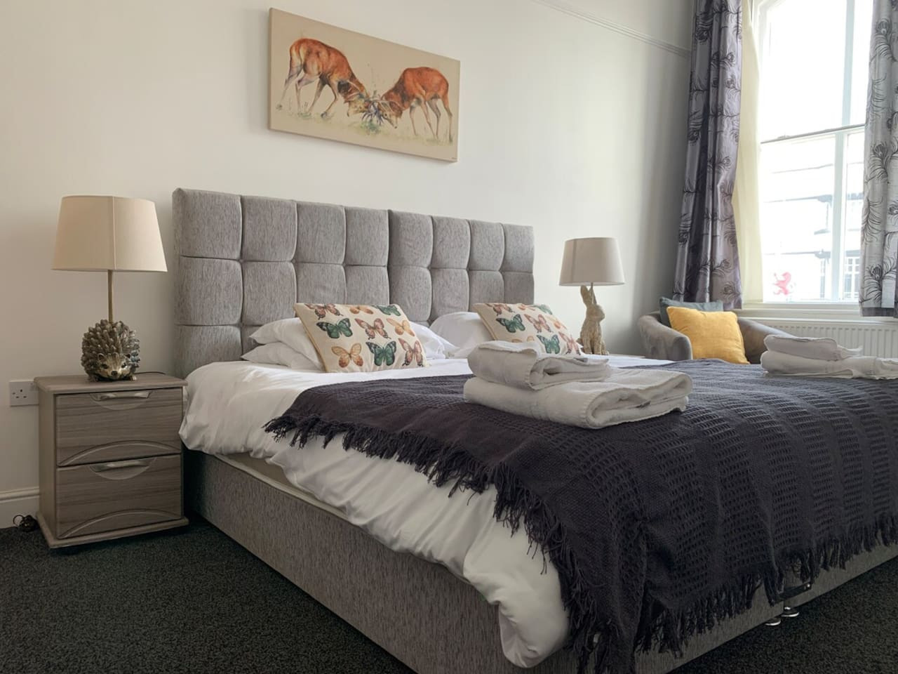
Leek
The Rudyard Suite - Large 1 Bed Apartment
- Sleeps 5
- 1 bedroom
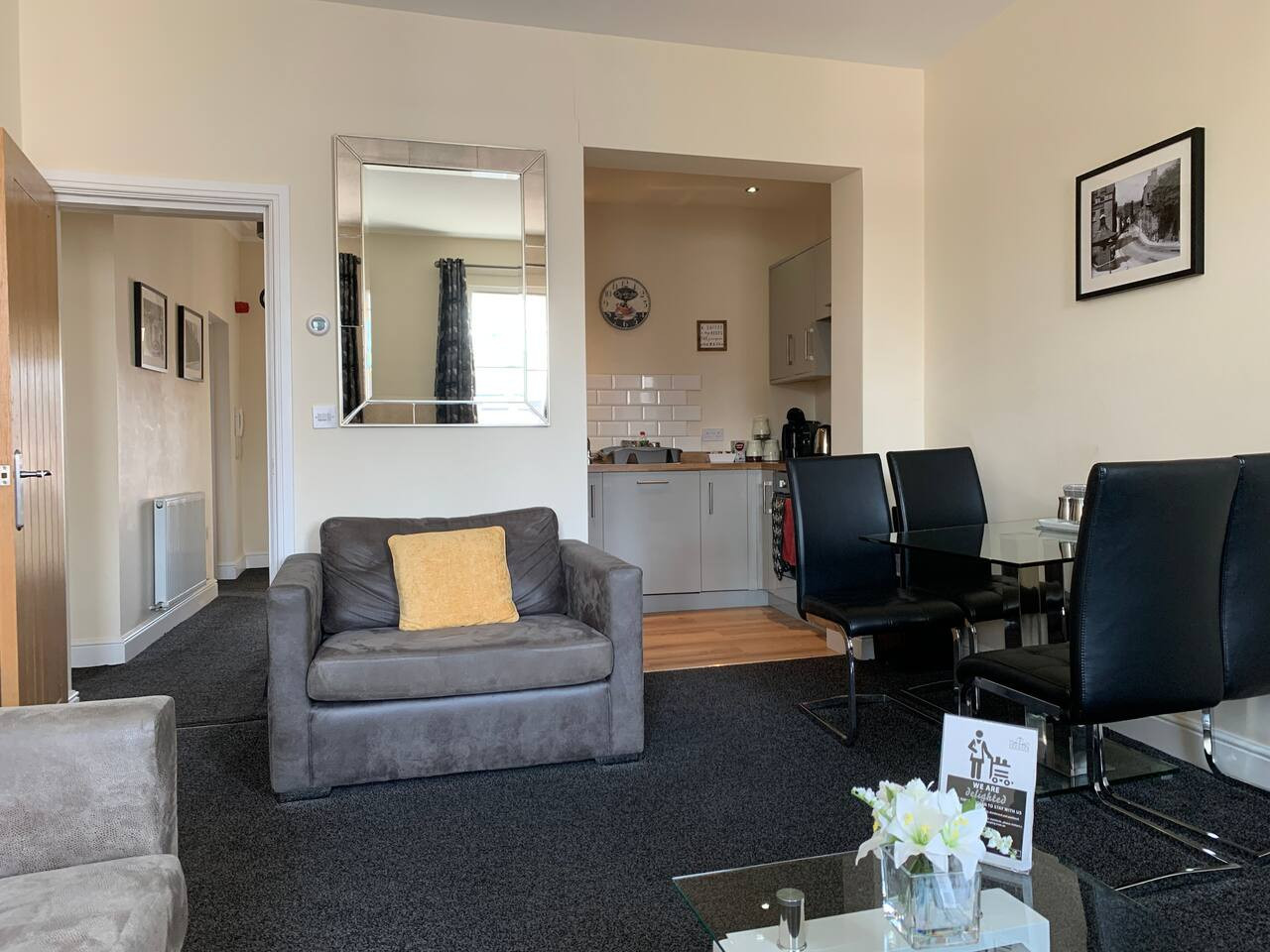
Leek
The Roaches Suite - Large 2 Bedroom Apartment
- Sleeps 7
- 2 bedrooms
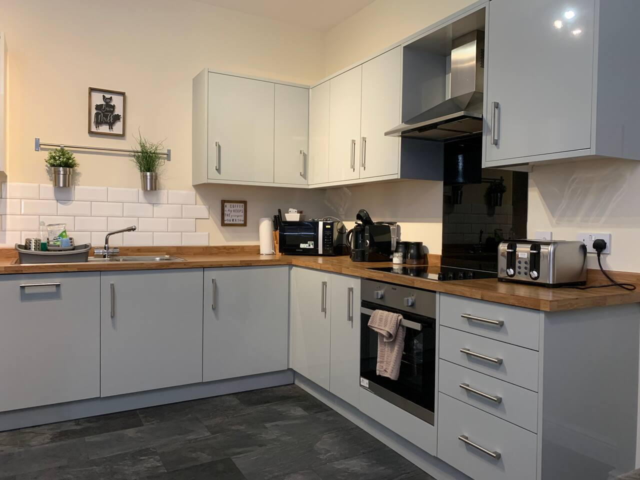
Leek
The Moorlands Suite - 1 Bed Apartment
- Sleeps 4
- 1 bedroom
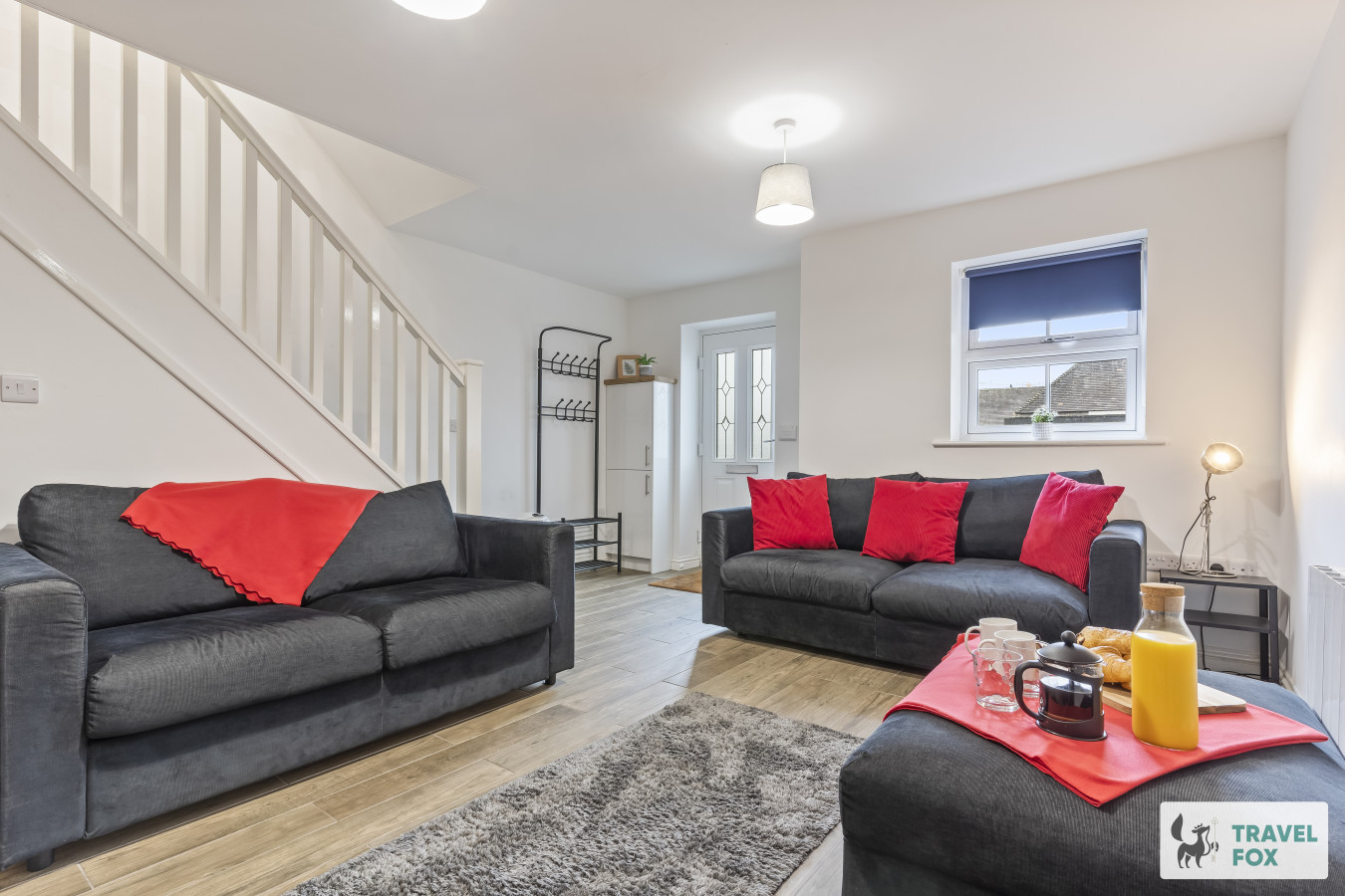
Leek
Amy's House: 20mins Alton Towers
- Sleeps 6
- 2 bedrooms
For homeowners
Own a holiday home near Bretton?
We manage holiday lets across the Peak District from 12% commission, charged after cleaning costs, with no lock-in. A co-founder visits before you decide.
Holiday let management in the Peak District →
A guide with a point of view
Written from research. Edited for real journeys.
Use the Official site links for live practical details, then use this guide for context, ideas and room to explore.
Sources
Every place on this page is checked against a published source. Each entry links the record we used and names who publishes it.
- The Barrel Inn — barrelinn.co.uk operator, sector body or destination organisation
- Bretton Clough Circular — planning.data.gov.uk statutory register or public authority
- Derbyshire & Lancashire Gliding Club — glidingclub.org.uk operator, sector body or destination organisation
- Mompesson's Well — historicengland.org.uk statutory register or public authority record not machine-readable; publisher restricts automated access
- Eyam Museum — eyam-museum.org.uk operator, sector body or destination organisation
- St Lawrence's Church, Eyam — eyamchurch.org operator, sector body or destination organisation