
Canal basin, railway history and hill paths
Whaley Bridge
The Peak Forest Canal terminates here, old railway routes lead into the surrounding landscape, and traditional pubs and independent food stops round out a visit.
- Best for
- Canal and railway heritage, walking and traditional pubs
- Town trail
- 2 miles / about 45 minutes
- Don't miss
- The Transhipment Warehouse on the canal basin
The Fox verdict
A canal terminus with routes into the hills
Whaley Bridge combines its canal-and-rail past with a two-mile town trail, traditional pubs and paths towards the Goyt Valley.
Begin with the Transhipment Warehouse at the canal basin, use the Town Trail for the old railway and Toddbrook Dam, and choose between local pub character, the bakery and nearby Bugsworth Basin.
Where to go
Places in Whaley Bridge
Every place below is checked against a published source, listed with what it is and how long to give it.
Local signatures
3 placesWhaley Bridge Town Trail
The loop follows the old railway through a short tunnel under Chapel Road, towards Cromford Court and the Shallcross Incline, with a path up to Toddbrook Dam.
- Visit length
- Editorial estimate: Allow around 45 minutes.
- Locality
- Whaley Bridge
The Cock Pub & Kitchen
A Robinsons traditional pub known for home-cooked meals, real ales, log fires in winter and a beer garden in summer; Betty Driver once ran it as the Cock Hotel.
- Visit length
- Editorial estimate: Allow around 75 minutes.
- Locality
- 22 Buxton Road
Bugsworth Basin
The only intact example of a canal-age inland port, once the largest and busiest on the network.
- Visit length
- Editorial estimate: Allow around 90 minutes.
- Locality
- Buxworth
Food & drink
3 placesGoyt Inn
A characterful, dog-friendly and welcoming local with four changing beers and a small patio garden.
- Visit length
- Editorial estimate: Allow around 60 minutes.
- Locality
- Whaley Bridge
Shepherds Arms
A whitewashed stone-built former farmhouse whose taproom retains an open fire, historic flagstone floor and scrubbed tables.
- Visit length
- Editorial estimate: Allow around 60 minutes.
- Locality
- Whaley Bridge
The Bridge Bakehouse
Camilla Dignan's bakery combines classic British favourites with fine French patisserie, plus coffees, teas, sandwiches and savoury bakes.
- Visit length
- Editorial estimate: Allow around 45 minutes.
- Locality
- Whaley Bridge
History & heritage
2 placesTranshipment Warehouse
The stone warehouse stands where narrowboats once handed cargo onto railway wagons. It now serves as a community hub with a book and coffee shop.
- Visit length
- Editorial estimate: Allow around 45 minutes.
- Locality
- On the canal basin
St James' Church
A Grade II* church with a C16–C17 Gothic-survival tower, earlier fabric and interior fittings of special interest; the remainder was rebuilt in 1825.
- Visit length
- Editorial estimate: Allow around 45 minutes.
- Locality
- Taxal
Things to do
1 placeMemorial Park
A recreation stop included on the Heritage Walk, which crosses Todd Brook below the dam before joining the former Cromford & High Peak Railway trackbed.
- Visit length
- Editorial estimate: Allow around 45 minutes.
- Locality
- Off Reservoir Road
No places match this filter. Choose All places to reset the list.
Three ways to explore Whaley Bridge
Signature outings
See boats meet railway history
The Transhipment Warehouse marks the canal basin where narrowboats once passed cargo directly to railway wagons.
Look up at St James' tower
The Grade II* church retains a C16–C17 Gothic-survival tower incorporating earlier fabric.
Explore Bugsworth Basin
Nearby Bugsworth Basin is the only intact example of a canal-age inland port and was once the network's largest and busiest.
The town story
Whaley Bridge: Canal Basin and Town Trail
Canal and railway heritage, traditional pubs, independent provisions and paths towards reservoirs and gritstone hills.
The canal basin and The Cock
The Peak Forest Canal ends in the middle of Whaley Bridge, at a stone warehouse where narrowboats once handed their cargo onto railway wagons. The Transhipment Warehouse still stands on the basin and now houses a book and coffee shop and other community activities.
There are three pubs worth knowing. The Cock Pub & Kitchen is a Robinsons pub at 22 Buxton Road, welcoming walkers and canal boaters with home-cooked food, log fires in winter and a beer garden in summer.
Betty Driver and two characterful locals
The pub was once the Cock Hotel, run by the actress Betty Driver and her sister Freda after Driver quit acting. A Coronation Street producer traced her there in 1969 and asked whether she'd rather be serving pints in the Rovers Return. She said yes, and played Betty Turpin — of Betty's Hot Pot — for over forty years.
The Goyt Inn is an end-of-terrace local with four changing beers, a small patio garden and a characterful, dog-friendly welcome. The Shepherds Arms is a whitewashed former farmhouse whose taproom retains an open fire, historic flagstone floor and scrubbed tables.
Independent provisions and paths into the hills
For provisions, The Bridge Bakehouse on Market Street offers French patisserie, sandwiches and savoury bakes. Edwin Wild & Son is the local butcher at 16–18 Old Road.
The walking is the point. The Town Trail is a two-mile loop from the canal basin, following the old railway through a short tunnel under Chapel Road and through Memorial Park towards Toddbrook Dam. The Midshires Way leads southwest from Whaley Bridge towards the Goyt Valley and its Errwood and Fernilee reservoirs. Walkable sections of the former Cromford and High Peak Railway around Whaley Bridge include the Shallcross Incline.
Toddbrook, transport and deeper history
Toddbrook Reservoir is the one you may remember from the news. In August 2019, concrete panels on its spillway collapsed and around 1,500 residents were evacuated for up to six nights. An RAF Chinook dropped aggregate bags onto the damaged spillway while emergency crews worked to stabilise the dam. A government-appointed engineer certified the dam and spillway works complete in February 2026, and reservoir refilling began in April.
Whaley Bridge station is on the Manchester–Buxton line, and the 199 bus links Buxton, Stockport and Manchester Airport. St James' Church in Taxal is Grade II* listed, with a Gothic tower over earlier fabric; the rest was rebuilt in 1825. No settlement in this area appears in the Domesday Book; the name Weylegh appears in early thirteenth-century records, when the area lay in Macclesfield Forest.
Carnival and well dressing
Whaley Bridge Carnival includes the Whaley Waltz fell race. The town also holds a well dressing, with designs made from natural materials.
Stay around Peak District
Make a longer stay of it
Travel Fox holiday homes around Peak District, linked directly to their property pages.
Leek
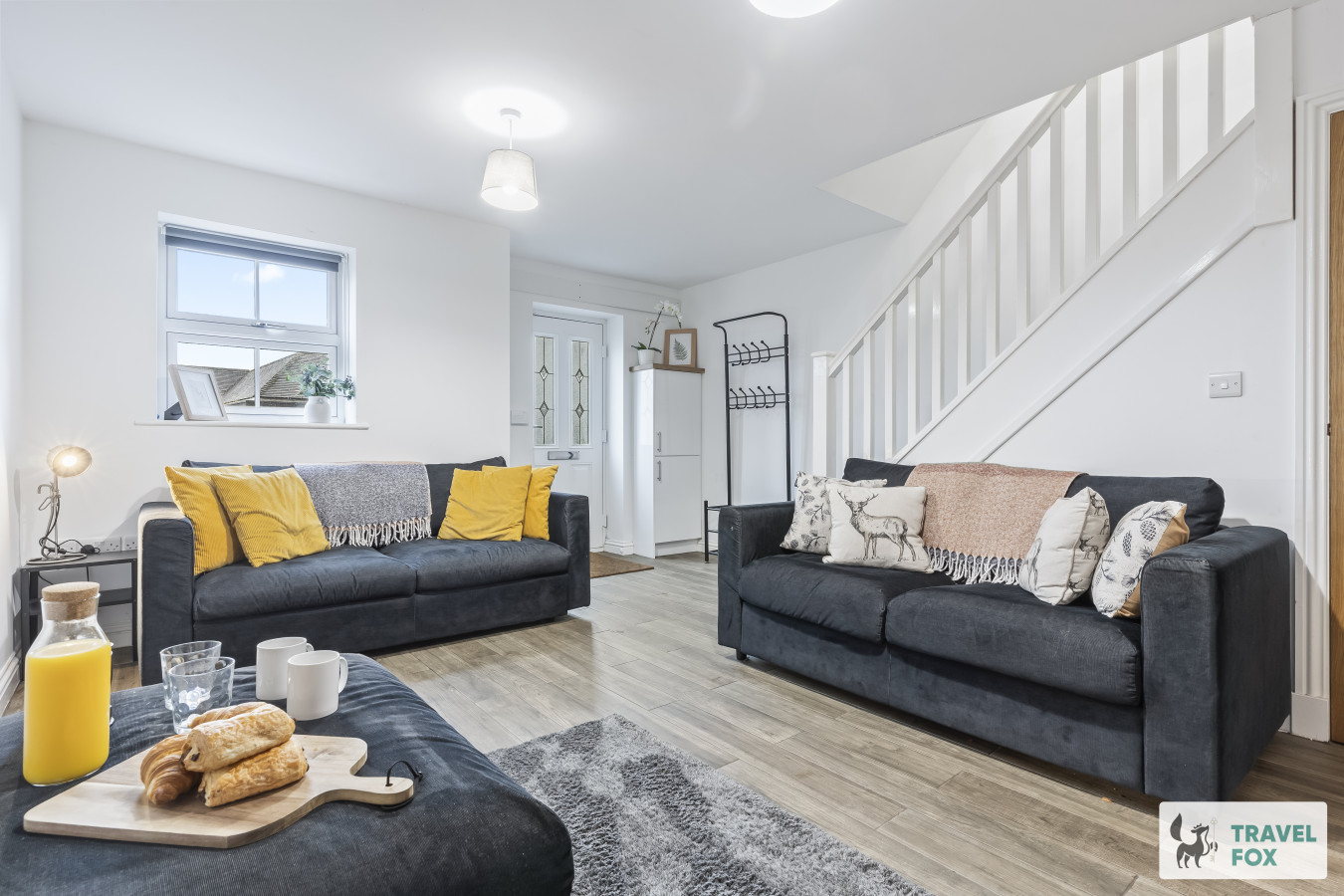
Lisa's House Leek: 20mins Alton Towers
- Sleeps 6
- 2 bedrooms
Leek
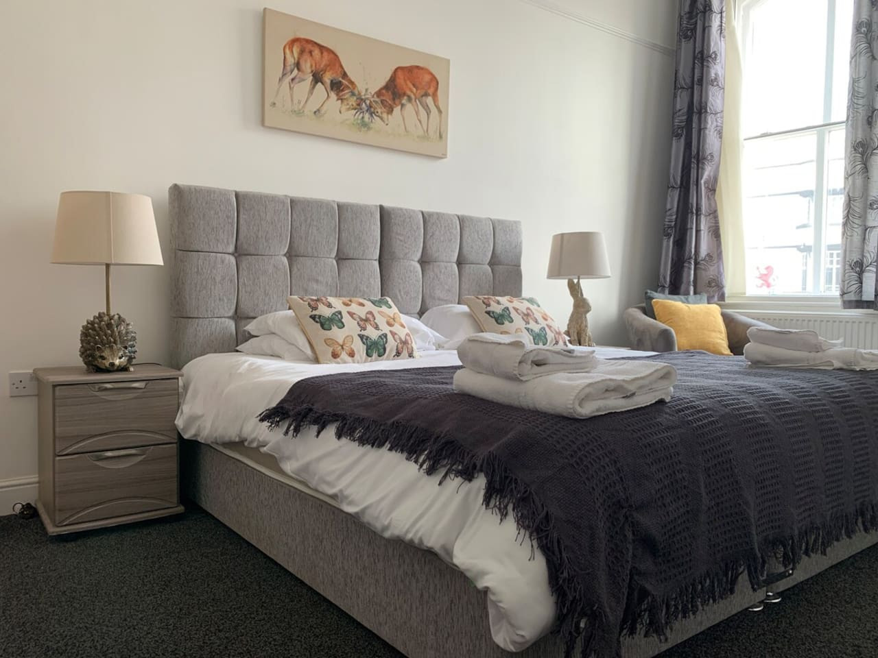
The Rudyard Suite - Large 1 Bed Apartment
- Sleeps 5
- 1 bedroom
Leek
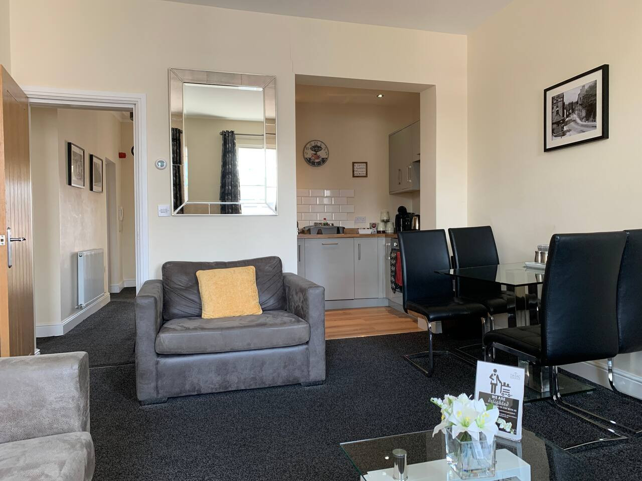
The Roaches Suite - Large 2 Bedroom Apartment
- Sleeps 7
- 2 bedrooms
Leek
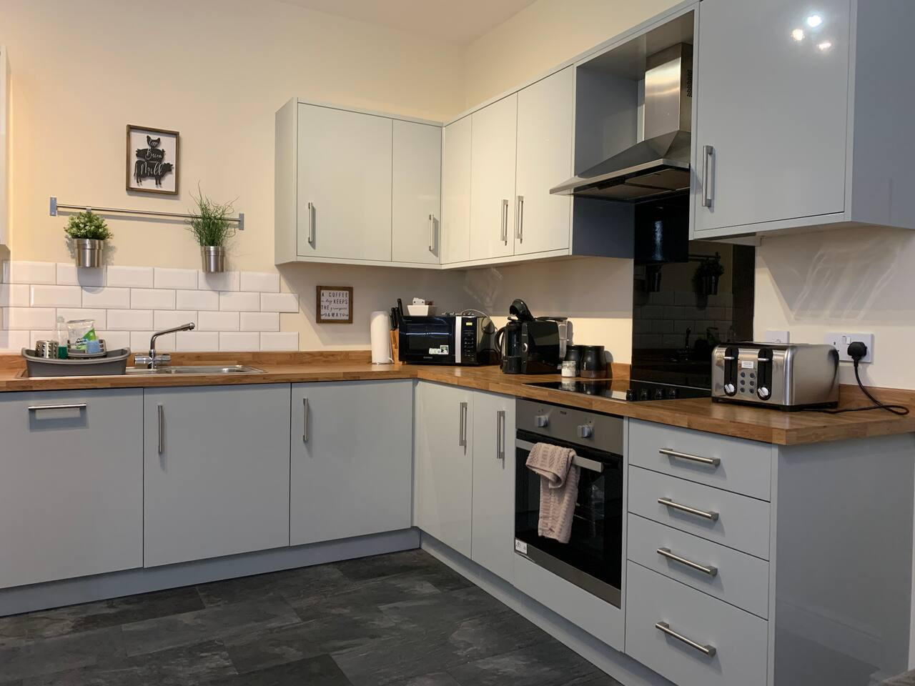
The Moorlands Suite - 1 Bed Apartment
- Sleeps 4
- 1 bedroom
Leek
Amy's House: 20mins Alton Towers
- Sleeps 6
- 2 bedrooms
For homeowners
Own a holiday home near Whaley Bridge?
We manage holiday lets across the Peak District from 12% commission, charged after cleaning costs, with no lock-in. A co-founder visits before you decide.
Holiday let management in the Peak District →
A guide with a point of view
Written from research. Edited for real journeys.
Use the Official site links for live practical details, then use this guide for context, ideas and room to explore.
Sources
Every place on this page is checked against a published source. Each entry links the record we used and names who publishes it.
- Transhipment Warehouse — historicengland.org.uk statutory register or public authority record not machine-readable; publisher restricts automated access
- Whaley Bridge Town Trail — highpeak.gov.uk statutory register or public authority
- Memorial Park — highpeak.gov.uk statutory register or public authority
- The Cock Pub & Kitchen — camra.org.uk operator, sector body or destination organisation
- Goyt Inn — camra.org.uk operator, sector body or destination organisation
- Shepherds Arms — camra.org.uk operator, sector body or destination organisation
- The Bridge Bakehouse — thebridgebakehouse.co.uk operator, sector body or destination organisation
- St James' Church — historicengland.org.uk statutory register or public authority record not machine-readable; publisher restricts automated access
- Bugsworth Basin — canalrivertrust.org.uk national body or asset manager