
A hollow above the dale
Wormhill
A quiet White Peak village of drystone walls, canal history and a sudden descent to the River Wye.
- Best for
- Gorge walking and railway-trail cycling
- Give it
- A half day for the village and nearby dale
- Don't miss
- Chee Dale's riverside stepping-stones
Photo: Dave.Dunford · CC BY-SA 4.0 · cropped
The Fox verdict
A small village with a dramatic way out
Wormhill is quiet at street level, but its memorial, unusual church tower and footpath into Chee Dale reward a deliberate stop.
The former Bagshaw Arms is now a house, so plan food stops before or after Wormhill. In the village, James Brindley's memorial and St Margaret's helm roof make a short visit worthwhile; paths towards the River Wye and the nearby Monsal Trail offer a longer outing.
Your picks, your pace
Make Wormhill yours
Choose a mood or build your own list. Your saved stops are an ordering aid, with a direct map route when you are ready.
Local signatures
3 placesChurch of St Margaret
A Grade II* church rebuilt and enlarged in 1864 around an older tower, whose helm roof has decorative banded slating. A former village cross topped by a sundial stands in the churchyard; the village stocks are near the green.
- Visit length
- Editorial estimate: Allow around 45 minutes
- Locality
- Wormhill
Pavilion Gardens
Gardens in the nearby spa town of Buxton, suited to a gentler outdoor stop between the village and the town's attractions.
- Visit length
- Editorial estimate: Allow around 1 hour 15 minutes
- Locality
- Buxton
Poole's Cavern and Country Park
A Buxton show cave and country park on Green Lane.
- Visit length
- Editorial estimate: Allow around 2 hours
- Locality
- Buxton
Walks & outdoors
1 place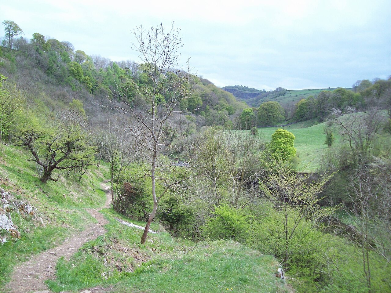
Chee Dale
A limestone gorge and riverside reserve with ash, yew and rock whitebeam woodland, wildflowers and stepping-stones beneath towering crags.
- Visit length
- Editorial estimate: Allow around 2 hours 30 minutes
- Locality
- Miller's Dale approach
- Access
- Reserve paths can be wet and uneven; the stepping-stones and some boardwalks are unsuitable for visitors with limited mobility.
History & heritage
2 places
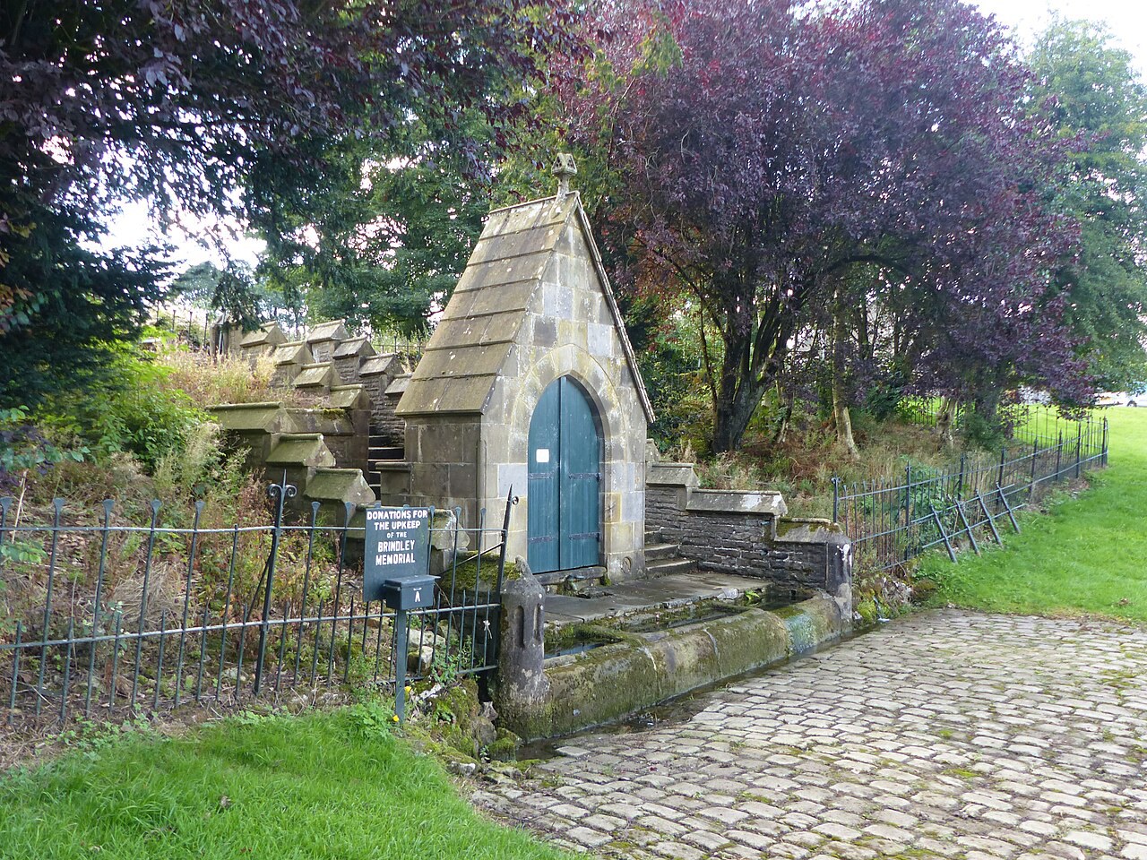
Brindley Memorial
A stone drinking fountain with troughs, built in 1875 to remember canal engineer James Brindley, who was born in the parish.
- Visit length
- Editorial estimate: Allow around 20 minutes
- Locality
- Wormhill village green
Church of St John the Baptist, Tideswell
The Tideswell church known as the Cathedral of the Peak, paired with a village that also has independent shops, pubs and cafés.
- Visit length
- Editorial estimate: Allow around 45 minutes
- Locality
- Tideswell
Things to do
2 places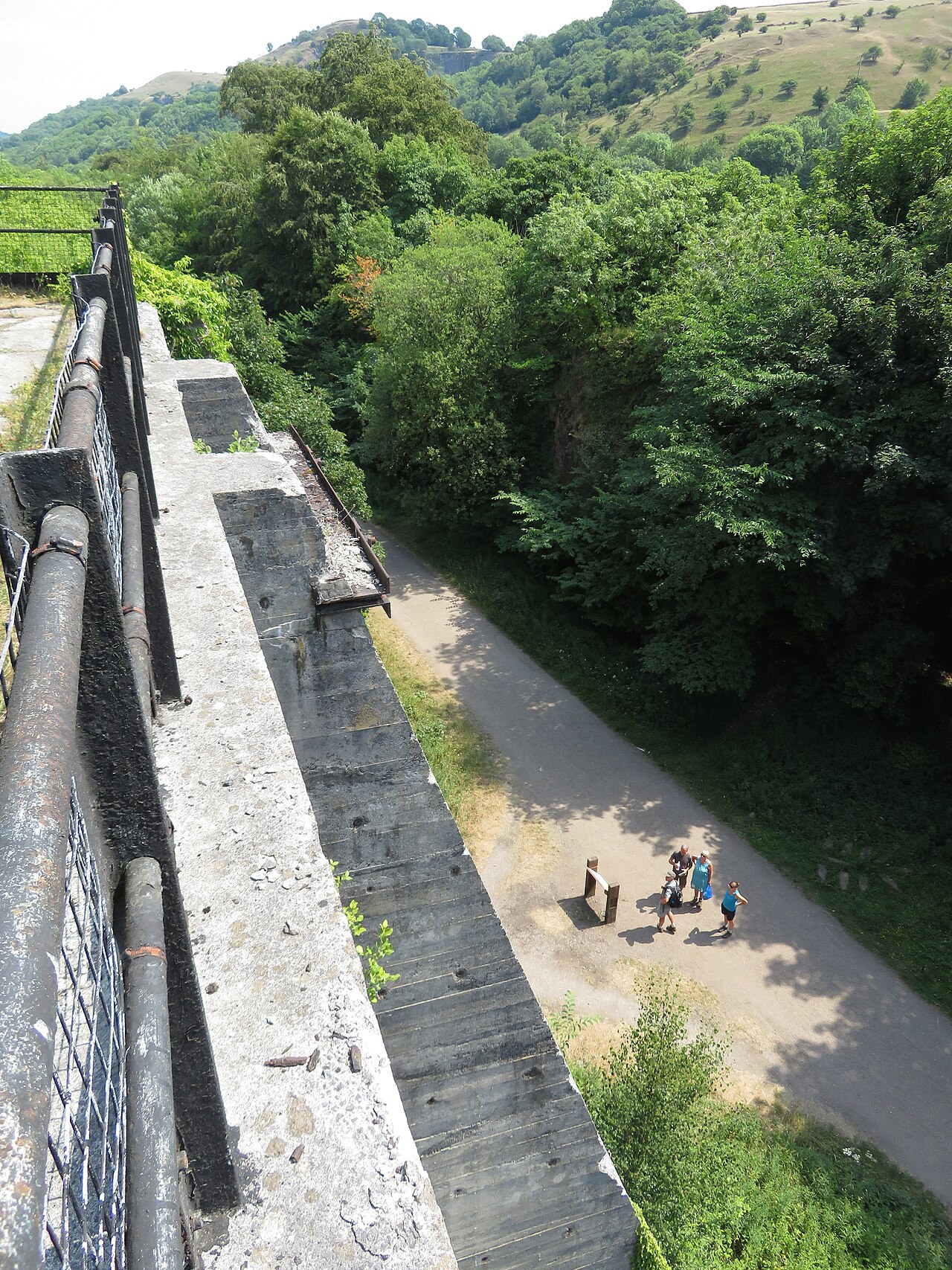
Monsal Trail
An 8.5-mile traffic-free former railway route running over viaducts and through tunnels towards Bakewell.
- Visit length
- Editorial estimate: Allow around 2 hours
- Locality
- access from Millers Dale
Buxton Opera House
Buxton's historic theatre is a stop for a booked performance or an advertised heritage tour.
- Visit length
- Editorial estimate: Allow time according to the booked performance or advertised tour
- Locality
- Buxton
No places match this filter. Choose All places to reset the list.
On the map
Wormhill at a glance
Tap a marker to jump to its guide card.
Three ways to explore Wormhill
Signature outings
Read Brindley's memorial
Look for the seating built into the fountain head and the stone-set approach beneath its steps.
Walk towards Chee Dale
Follow the path down towards the River Wye, or begin at Miller's Dale car park; expect wet, uneven ground within the reserve.
Ride the Monsal Trail
The trail's flat surface suits an easy-paced outing, and its longer tunnels are lit during daylight hours.
The village story
Wormhill: Brindley's Fountain Above the Dales
Canal history, a church tower with a helm roof and paths descending towards the limestone dales.
Brindley's quiet village
The Brindley Memorial stands by the village green. Dated 1875, the fountain commemorates canal engineer James Brindley, who was born at nearby Tunstead in the parish. Seats are built into the fountain head, with steps and three stone troughs below.
The former Bagshaw Arms is now a house. Plan a food stop in Tideswell or Buxton, then give Wormhill time for the memorial, church and paths towards the limestone dales.
The drop into limestone dales
The ground drops south towards Chee Dale and the River Wye. The gorge has steep limestone crags, ash woodland, yews and rock whitebeams, with cowslips and orchids among the wildflowers. The riverside route includes stepping-stones and can be wet and uneven.
From Miller's Dale Station, the Railway and River Ramble leaves the Monsal Trail and drops towards the Wye. The trail follows a former railway for 8.5 miles between Blackwell Mill and Bakewell, crossing viaducts and passing through tunnels.
Helm roof and older traces
St Margaret's is Grade II* listed. Its tower retains thirteenth-century work, while the church was rebuilt and enlarged in 1864; the tower's helm roof has decorative banded slating. A former village cross topped with a sundial stands in the churchyard. The restored stocks are near the green, separate from the churchyard.
Wormhill appears in the Domesday Book with no population recorded, but its entry lists four ploughlands and 20 acres of meadow under Henry of Ferrers. A missing household figure does not establish that nobody lived here.
Rails, roads and dressed wells
The former station now provides parking and access to the former railway route between Blackwell Mill and Bakewell.
Wormhill's well-dressing tradition includes a summer display at Brindley's Well on the green and a children's display in the churchyard.
Stay around Peak District
Make a longer stay of it
Travel Fox holiday homes around Peak District, linked directly to their property pages.
Leek
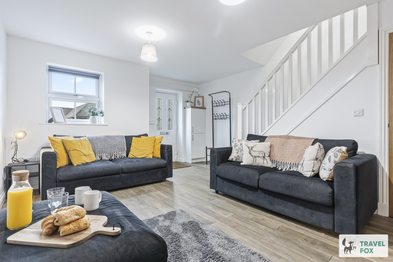
Lisa's House Leek: 20mins Alton Towers
- Sleeps 6
- 2 bedrooms
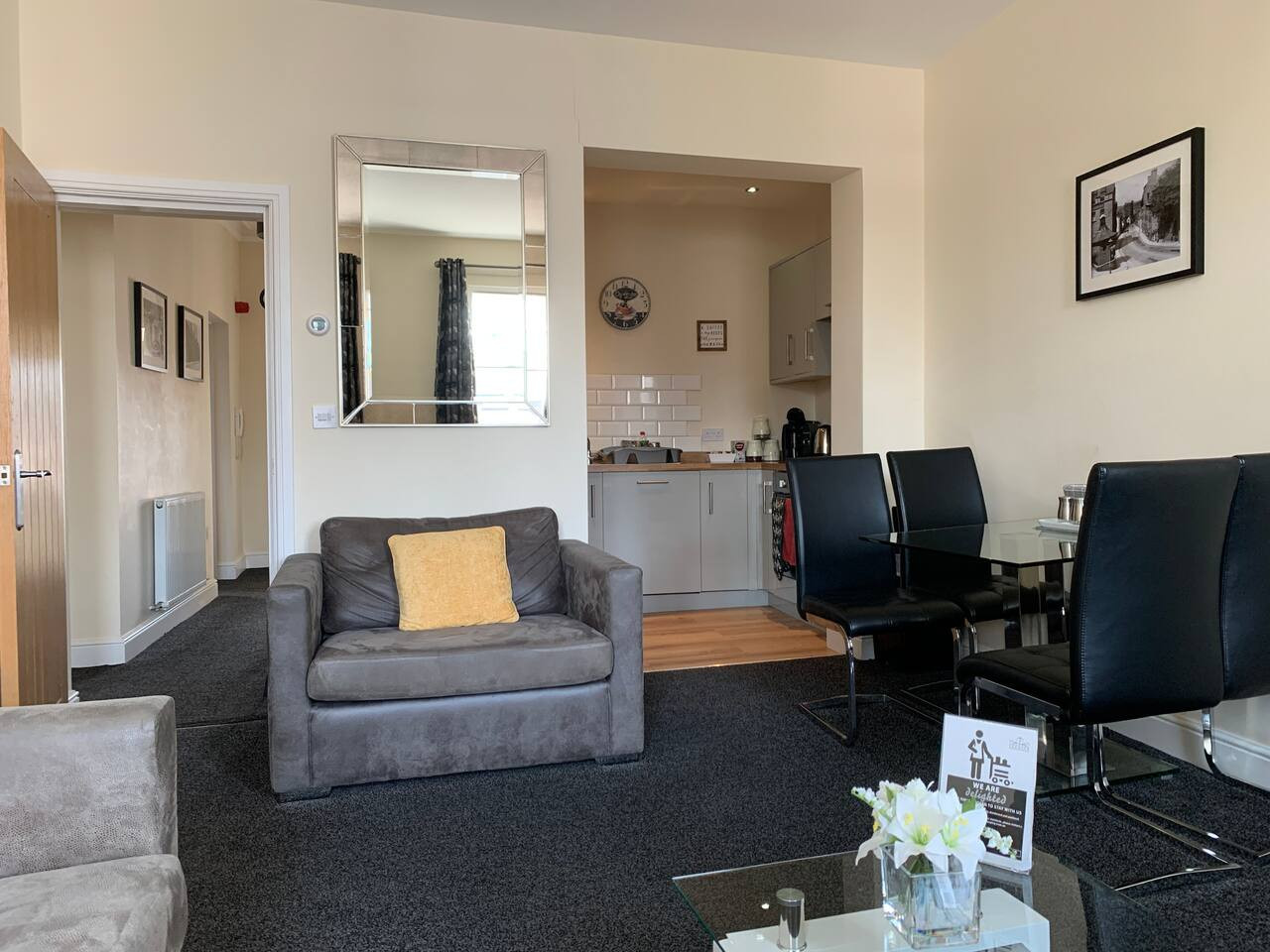
Leek
The Rudyard Suite - Large 1 Bed Apartment
- Sleeps 5
- 1 bedroom
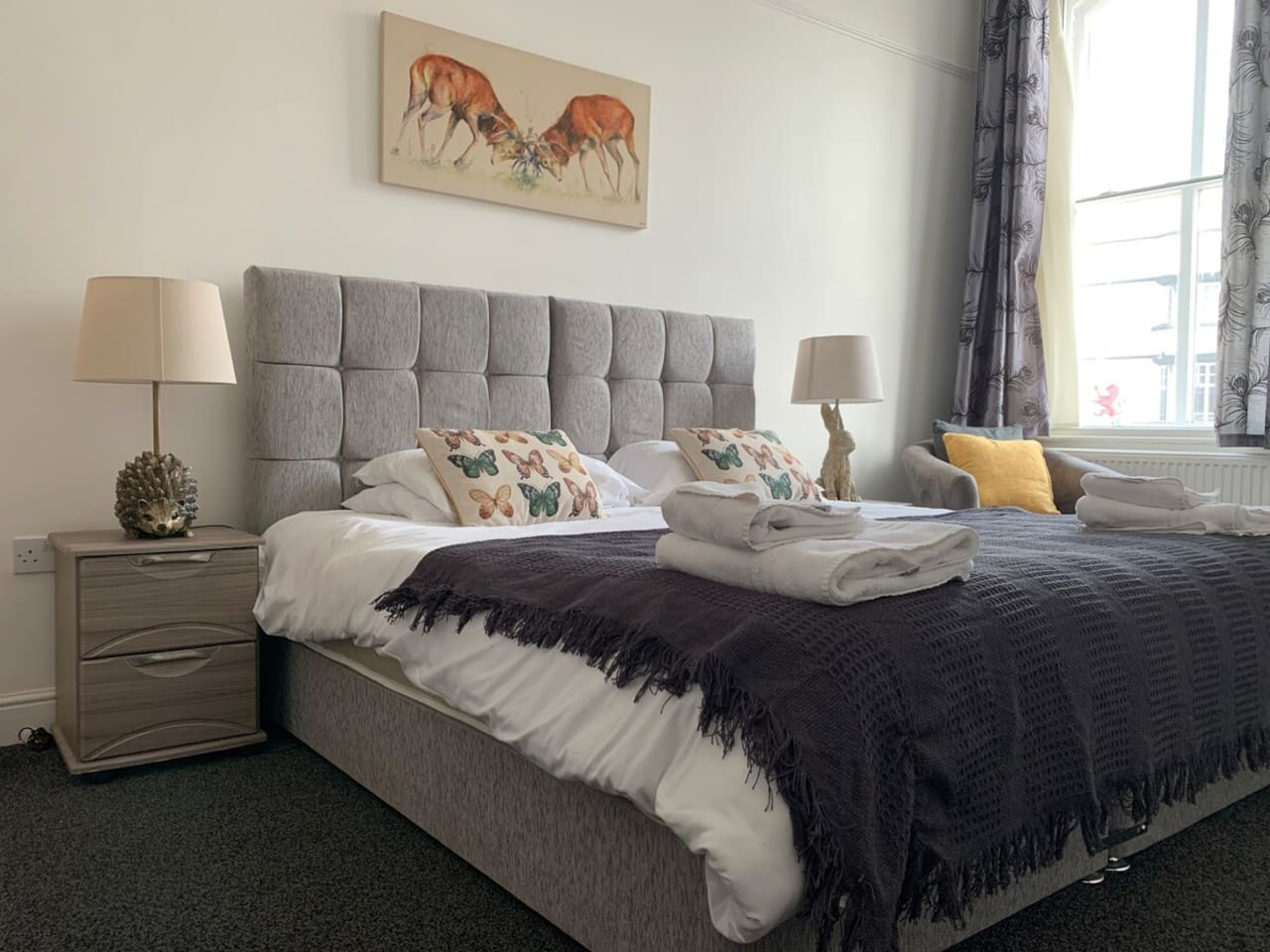
Leek
The Roaches Suite - Large 2 Bedroom Apartment
- Sleeps 7
- 2 bedrooms
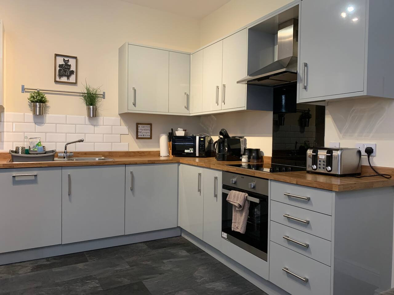
Leek
The Moorlands Suite - 1 Bed Apartment
- Sleeps 4
- 1 bedroom
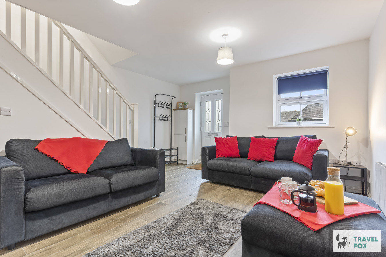
Leek
Amy's House: 20mins Alton Towers
- Sleeps 6
- 2 bedrooms
For homeowners
Own a holiday home near Wormhill?
We manage holiday lets across the Peak District from 12% commission, charged after cleaning costs, with no lock-in. A co-founder visits before you decide.
Holiday let management in the Peak District →
A guide with a point of view
Written from research. Edited for real journeys.
Use the Official site links for live practical details, then use this guide for context, ideas and room to explore.
Photography credits & licences
Third-party photographs are credited to their named creators and reused under the linked Creative Commons licence or public-domain dedication. Travel Fox stores an optimised local copy; the file-specific changes and any browser-applied display crop are disclosed below. Reused photographs link both to the Wikimedia Commons source record and to the declared source image; Travel Fox's own photographs carry no such record and are marked as ours. These image licences do not cover Travel Fox text, branding or page design.
- File:The Brindley Memorial Fountain.jpg — photograph by Dave.Dunford; Own work. Source record on Wikimedia Commons. Declared source image. Licence: CC BY-SA 4.0. File changes: Downloaded from Wikimedia Commons, resized to a maximum 1920px edge and encoded as an optimised JPEG. Display changes: Displayed with responsive CSS cropping.
- File:Footpath between Chee Dale and Wormhill - geograph.org.uk - 1859365.jpg — photograph by Jonathan Clitheroe; Footpath between Chee Dale and Wormhill by Jonathan Clitheroe. Source record on Wikimedia Commons. Declared source image. Licence: CC BY-SA 2.0. File changes: Downloaded from Wikimedia Commons, resized to a maximum 1920px edge and encoded as an optimised JPEG. Display changes: Displayed with responsive CSS cropping.
- File:Monsal Trail, view from Lime Kilns near Miller's Dale - geograph.org.uk - 5834408.jpg — photograph by Gareth James; Monsal Trail: view from Lime Kilns near Miller's Dale by Gareth James. Source record on Wikimedia Commons. Declared source image. Licence: CC BY-SA 2.0. File changes: Downloaded from Wikimedia Commons, resized to a maximum 1920px edge and encoded as an optimised JPEG. Display changes: Displayed with responsive CSS cropping.