
At the tip of Llŷn
Uwchmynydd
A scattered hamlet of high headland, rocky shore and pilgrimage relics facing Ynys Enlli across Bardsey Sound.
- Best for
- Headland walking and pilgrimage history
- Give it
- Time to explore the headland
- Don't miss
- Bardsey views from Mynydd Mawr
The Fox verdict
A headland of cliffs, relics and pilgrimage
Uwchmynydd is a scattered hamlet where the headland, coastal wildlife and the old crossing to Bardsey supply the reasons to visit.
Explore the Uwchmynydd headland, then choose between the cliff-top remains of Capel Mair and the difficult descent to Ffynnon Fair. Aberdaron supplies the nearest church, cafe and places to eat.
Your picks, your pace
Make Uwchmynydd yours
Choose a mood or build your own list. Your saved stops are an ordering aid, with a direct map route when you are ready.
Local signatures
3 placesSt Hywyn's Church
A Grade I church standing on the shore, with a twelfth-century nave and origins as an early monastic-community church; it was the mainland embarkation church for the Bardsey pilgrimage and R. S. Thomas was vicar here from 1967 to 1978.
- Visit length
- Editorial estimate: allow around 45 minutes
- Locality
- Aberdaron
Gwesty Tŷ Newydd
A hotel and restaurant directly overlooking Aberdaron bay and beach, serving freshly caught Aberdaron lobster and crab, afternoon teas and drinks from its sea-view terrace.
- Visit length
- Editorial estimate: allow around 1 hour 30 minutes
- Locality
- Aberdaron
Y Gegin Fawr
Now a café for cream teas and light meals, this was a thirteenth-century communal kitchen where medieval pilgrims could claim a free meal before crossing to Bardsey.
- Visit length
- Editorial estimate: allow around 1 hour
- Locality
- Aberdaron
History & heritage
2 placesFfynnon Fair
The holy well below Capel Mair was the final mainland pilgrimage stop before Bardsey; Joan Abbott Parry drowned while trying to reach it on 6 September 1904.
- Visit length
- Editorial estimate: allow around 45 minutes
- Locality
- Ffynnon Fair cliff inlet, Uwchmynydd headland
- Access
- A steep, rough scramble; only safe at low tide.
Capel Mair
The rectangular footings of this medieval chapel stand above the sea at Trwyn Maen Melyn. Pilgrims stopped here to ask the Virgin Mary for protection before the crossing to Bardsey.
- Visit length
- Editorial estimate: allow around 30 minutes
- Locality
- Trwyn Maen Melyn, Uwchmynydd headland
No places match this filter. Choose All places to reset the list.
On the map
Uwchmynydd at a glance
Tap a marker to jump to its guide card.
Three ways to explore Uwchmynydd
Signature outings
Capel Mair above Bardsey Sound
See the rectangular footings of Capel Mair / St Mary's Chapel above Trwyn Maen Melyn, where pilgrims paused before crossing to Ynys Enlli.
Ffynnon Fair below the cliffs
Ffynnon Fair sits in a cliff inlet below Capel Mair and was the final mainland pilgrimage stop before Bardsey.
Cream tea in the Big Kitchen
Stop at Y Gegin Fawr, the café in a thirteenth-century communal kitchen that once fed pilgrims before the crossing.
The village story
Uwchmynydd Village Guide
At the far tip of Llŷn, a sparse hamlet gathers its story from a headland, a vanished chapel and the old passage to Bardsey.
The Chapel at the Edge
On the cliffs above the sea at Trwyn Maen Melyn there is a rectangle of footings, forty feet by twenty-two, that used to be a chapel. Capel Mair, St Mary's Chapel, in ruins since the early eighteenth century. Pilgrims stopped here to ask the Virgin for safe passage before crossing to Bardsey, and local folklore holds that she rode across the sea and drank from the well below, leaving handprints and a horse's hoof-print on the rocks. This is roughly the shape of Uwchmynydd: a scatter of farms and cliffs and things that used to be something, at the very tip of the Llŷn.
There are no pubs here, no shop, no church. Aberdaron is about 1.2 miles from Uwchmynydd in a straight line; the road journey along minor lanes off the B4413 is longer. R. S. Thomas, who was vicar of Aberdaron from 1967 to 1978 and whose presence still saturates this whole end of the peninsula, called the village "scarcely a street, too few houses to merit the title." Uwchmynydd has fewer houses than that.
Headland and Wartime Remains
What it has is the headland. Four peaks rise above a rocky shore, the highest being Mynydd Mawr at 525 feet. From the cliffs, Bardsey lies across the sound; on a clear day there are views towards Cardigan Bay and the Wicklow Mountains of Ireland.
The road up Mynydd Mawr was built during the war so men could be posted at the top to give Liverpool early warning of air raids. A gun emplacement, a guardhouse, and radar joined the Victorian coastguard hut. All of it is gone now except the concrete bases at the foot of the hill.
Rare Life on the Cliffs
Braich y Pwll, the promontory at the tip, is the only recorded place on mainland Britain where the spotted rock rose grows — a small yellow flower with dark spots that blooms June to August and drops its petals within hours of opening. Choughs breed on the cliffs, peregrines hunt along them, and seals and dolphins work the water below. Across the sound, more than twenty thousand pairs of Manx shearwaters nest on Bardsey.
The Holy Well and Hermit's Cove
If you want to walk down to Ffynnon Fair, the holy well, it's a steep rough scramble and only safe at low tide. Joan Abbott Parry drowned trying to reach it in September 1904, swept from the rocks. The gentler option is the coastal path down to Porth Meudwy, the Hermit's Cove, once the pilgrims' embarkation point and now a place where a few men fish for lobster. The cove is about 0.8 miles from Uwchmynydd in a straight line; the coastal path is longer.
Aberdaron Tables
In Aberdaron, Gwesty Tŷ Newydd looks straight over the bay and serves Aberdaron lobster and crab, with a terrace worth a drink for the view. Y Gegin Fawr, now a café doing cream teas, was a thirteenth-century kitchen where pilgrims could claim a free meal before the crossing. They still feed people. The queue is shorter than it was.
Stay around Snowdonia
Make a longer stay of it
Travel Fox holiday homes around Snowdonia, linked directly to their property pages.
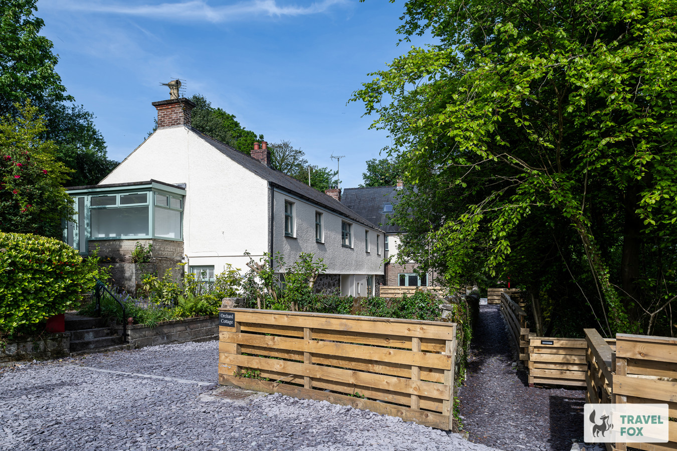
Caernarfon
Orchard Cottage and Hot Tubs
- Sleeps 25
- 8 bedrooms
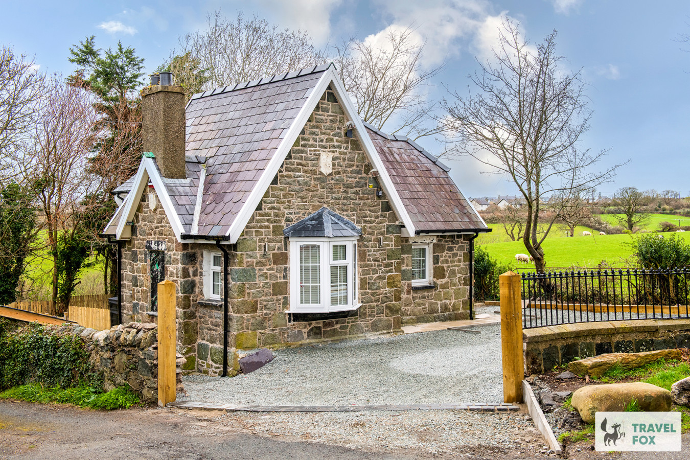
Caernarfon
Katie's Cottage & Hot Tub - Snowdon 20mins drive
- Sleeps 9
- 3 bedrooms
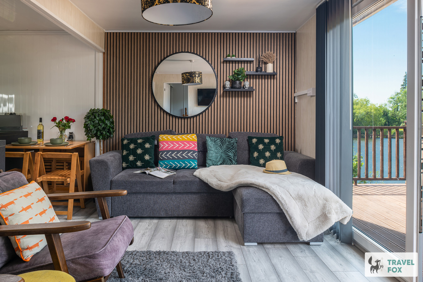
Waunfawr
Lakeside Lodge
- Sleeps 6
- 2 bedrooms
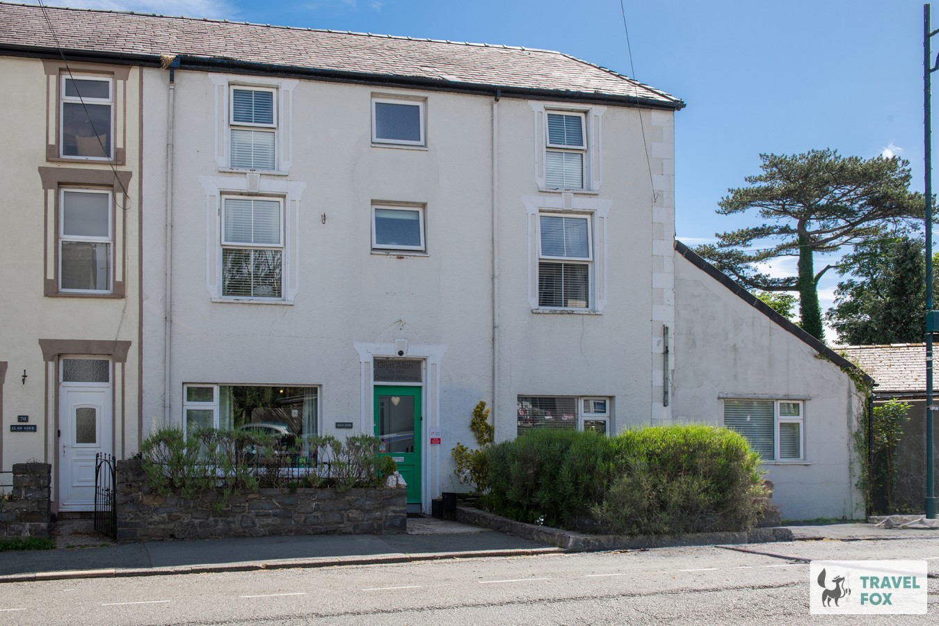
Llanberis
Glyn Afon: At the foot of Mount Snowdon!
- Sleeps 16
- 9 bedrooms
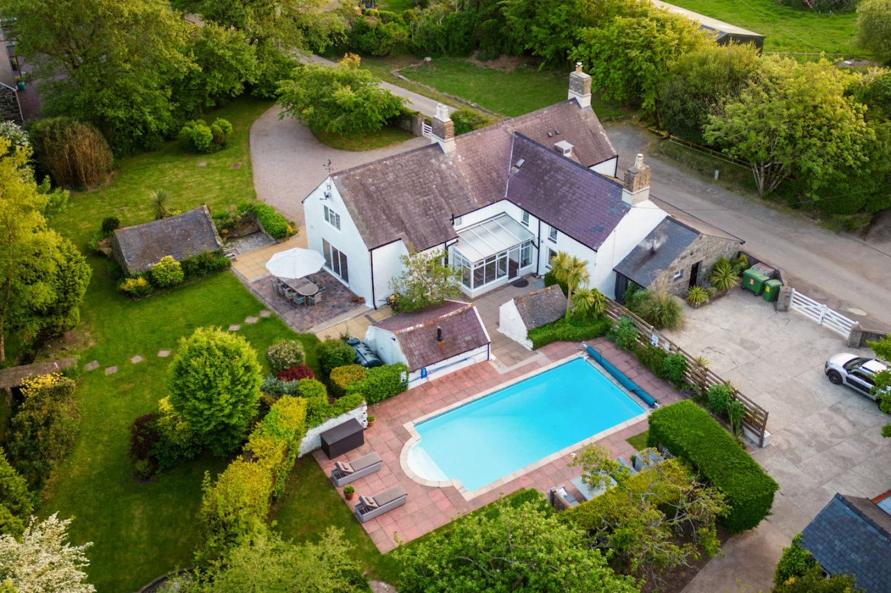
Aberdaron
Plas Newydd with Swimming Pool
- Sleeps 16
- 7 bedrooms
For homeowners
Own a holiday home near Uwchmynydd?
We manage holiday lets across Gwynedd from 12% commission, charged after cleaning costs, with no lock-in. A co-founder visits before you decide.
Holiday let management in Gwynedd →
A guide with a point of view
Written from research. Edited for real journeys.
Use the Official site links for live practical details, then use this guide for context, ideas and room to explore.
Sources
Every place on this page is checked against a published source. Each entry links the record we used and names who publishes it.
- Ffynnon Fair — historypoints.org other published source
- St Hywyn's Church — coflein.gov.uk statutory register or public authority
- Gwesty Tŷ Newydd — gwesty-tynewydd.co.uk operator, sector body or destination organisation
- Y Gegin Fawr — ratings.food.gov.uk statutory register or public authority
- Capel Mair — aberdaronlink.co.uk other published source