
Reservoir and Charnwood Forest
Cropston
A quiet village beside Cropston Reservoir, with pub food, parkland walks and nearby railway history.
- Best for
- Reservoir walks and pub food
- Give it
- A walk, a heritage stop and a pub meal
- Don't miss
- The western-side reservoir footpaths
The Fox verdict
A waterside base on Charnwood Forest's edge
Cropston pairs a reservoir circuit with two village pubs and access to Bradgate Park.
The 52-acre reservoir and adjacent Bradgate Park form the main outdoor draw, while Beacon Hill and nearby Rothley station add a hill walk and railway history. The Bradgate Arms and The Badger's Sett provide two distinct pub-food stops in the village.
Your picks, your pace
Make Cropston yours
Choose a mood or build your own list. Your saved stops are an ordering aid, with a direct map route when you are ready.
Local signatures
3 placesThe Bradgate Arms
A traditional village pub and bar-and-grill serving pub food and Sunday roasts, with quiz nights and long-alley skittles.
- Visit length
- Editorial estimate: Allow around 75 minutes
- Locality
- Cropston village
The Badger's Sett
A dog-friendly traditional dining pub serving classic dishes and seasonal specials; it was formerly The Reservoir Inn.
- Visit length
- Editorial estimate: Allow around 75 minutes
- Locality
- Cropston village
Beacon Hill
Walk Beacon Hill from the upper car park off Beacon Road, near Woodhouse Eaves. The country park is farther afield from Cropston.
- Visit length
- Editorial estimate: Allow around 90 minutes
- Locality
- Beacon Hill Country Park near Woodhouse Eaves
Walks & outdoors
2 placesCropston Reservoir Circular Walk
Start at Hallgates car park on Roecliffe Road for the western-side reservoir paths and a longer circuit through adjacent Bradgate Country Park.
- Visit length
- Editorial estimate: Allow around 2 hours
- Locality
- Hallgates, on Roecliffe Road beside Cropston Reservoir
Bradgate Park
Enter at Hallgates car park on Roecliffe Road to explore parkland and woodland; the ruins of 16th-century Bradgate House are about 1.4 miles from Cropston in a straight line.
- Visit length
- Editorial estimate: Allow around 2 hours 30 minutes
- Locality
- Hallgates entrance on Roecliffe Road, near Cropston
History & heritage
1 placeRothley Station
A heritage railway station in Rothley. The original Great Central Railway opened it in 1899.
- Visit length
- Editorial estimate: Allow around 60 minutes
- Locality
- Rothley, north-east of Cropston
No places match this filter. Choose All places to reset the list.
On the map
Cropston at a glance
Tap a marker to jump to its guide card.
Three ways to explore Cropston
Signature outings
Circle Cropston Reservoir
Take the western-side footpaths from Hallgates car park on Roecliffe Road and continue around the reservoir.
Explore Bradgate Park
Enter at Hallgates car park on Roecliffe Road to explore parkland and woodland; the ruins of Bradgate House are about 1.4 miles from Cropston in a straight line.
Visit Rothley Station
See the nearby heritage-railway station whose 1899 opening gave Cropston its first rail connection.
The village story
Cropston Village Guide
Reservoir paths, village pubs and railway history on the edge of Charnwood Forest.
Four Centuries at The Bradgate Arms
The Bradgate Arms has been serving drinks for over four hundred years, which makes it older than the reservoir, the bus route, and most of the houses around it. For a full century — 1888 to 1988 — it was run by the Jackson family, before being sold to Hoskins Brewery and then on to Banks's of Wolverhampton. The old beams are still there. So are the quiz nights and the long-alley skittles.
The menu runs to loaded nachos with mature Cheddar, guacamole and jalapeños, double beef-patty burgers, crispy battered chicken burgers, and loaded potato skins with bacon and sour cream. Children eat from their own menu, Monday to Saturday, noon to nine. The pub is in Cropston, close to the village end of Bradgate Park.
The Badger's Sett and Village Scale
Cropston's second pub, The Badger's Sett, used to be called The Reservoir Inn, which was more geographically honest but perhaps less marketable. It's a Vintage Inns place now, part of the Mitchells & Butlers group. The slow-cooked pork belly gets mentioned often. Sunday brings a Trio roast — beef, pork belly and turkey on the same plate. Dogs are welcome.
Two pubs for a village of twelve hundred people is a reasonable ratio.
Reservoir Paths and Charnwood Heights
The walk most people come for starts at Hallgates car park on Roecliffe Road and follows the western edge of Cropston Reservoir — fifty-two acres of water built in the 1860s to supply Leicester after successive cholera epidemics. Footpaths run from the car park to the boat house and then all the way round, with a section cutting through Bradgate Country Park. Red and fallow deer graze close enough to the waterside path that you don't need binoculars, though binoculars help.
From there you can extend into Bradgate Park proper — 830 acres of parkland and ancient woodland, with the ruins of the sixteenth-century Bradgate House visible on the hillside, about 1.4 miles from Cropston in a straight line. Beacon Hill, the second-highest point in Leicestershire, is farther afield: its upper car park is about 3.6 miles from Cropston in a straight line, with a longer road journey. The whole area sits on the edge of Charnwood Forest, which is pre-Cambrian rock, meaning the geology here is genuinely ancient rather than just old.
Cottages, Chapel and Cropeston
The village itself is small and quiet. A garage near the crossroads of Reservoir Road and Station Road covers the basics. A few sixteenth-century cottages survive among the later houses. Cropston never had its own parish church — it has always belonged to Thurcaston — though a Nonconformist chapel went up in 1879.
The name first appears as "Cropeston" in the Leicestershire Survey of 1130. The Domesday surveyors didn't record it at all. By the 1740s there were about twenty-six houses here, mostly farmworkers and framework knitters. The reservoir construction in the late 1860s swallowed the Head Keeper's house and a good stretch of farmland. Then in 1899 the Great Central Railway opened Rothley station nearby, and professionals from Leicester started building country houses. The population went from 191 in 1901 to 909 by 1931.
The Road to a Quiet Afternoon
Bus services still run into Leicester. By car it's a straightforward drive via the B5330.
On a weekday afternoon, the reservoir path is mostly dog walkers and retired couples with flask tea. The deer watch them pass without much concern.
Stay around Leicestershire
Make a longer stay of it
Travel Fox holiday homes around Leicestershire, linked directly to their property pages.
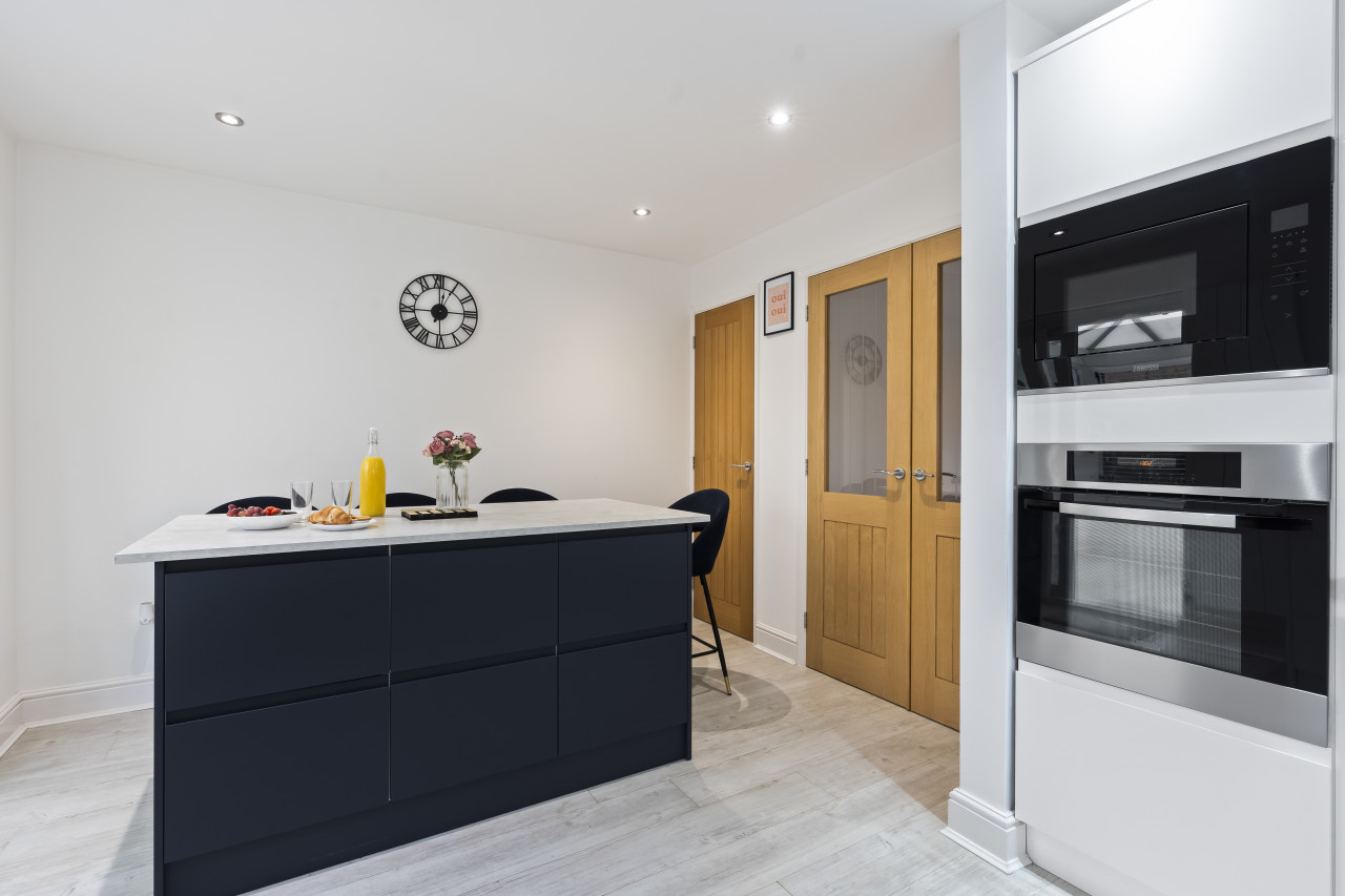
Syston
Tilly's Townhouse with Parking
- Sleeps 4
- 2 bedrooms
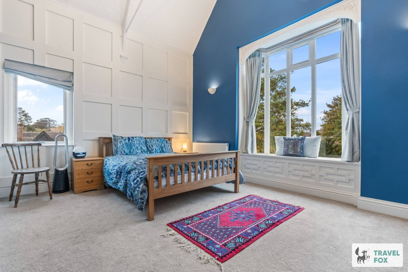
Leicester
Rachel's House with Parking!
- Sleeps 12
- 4 bedrooms
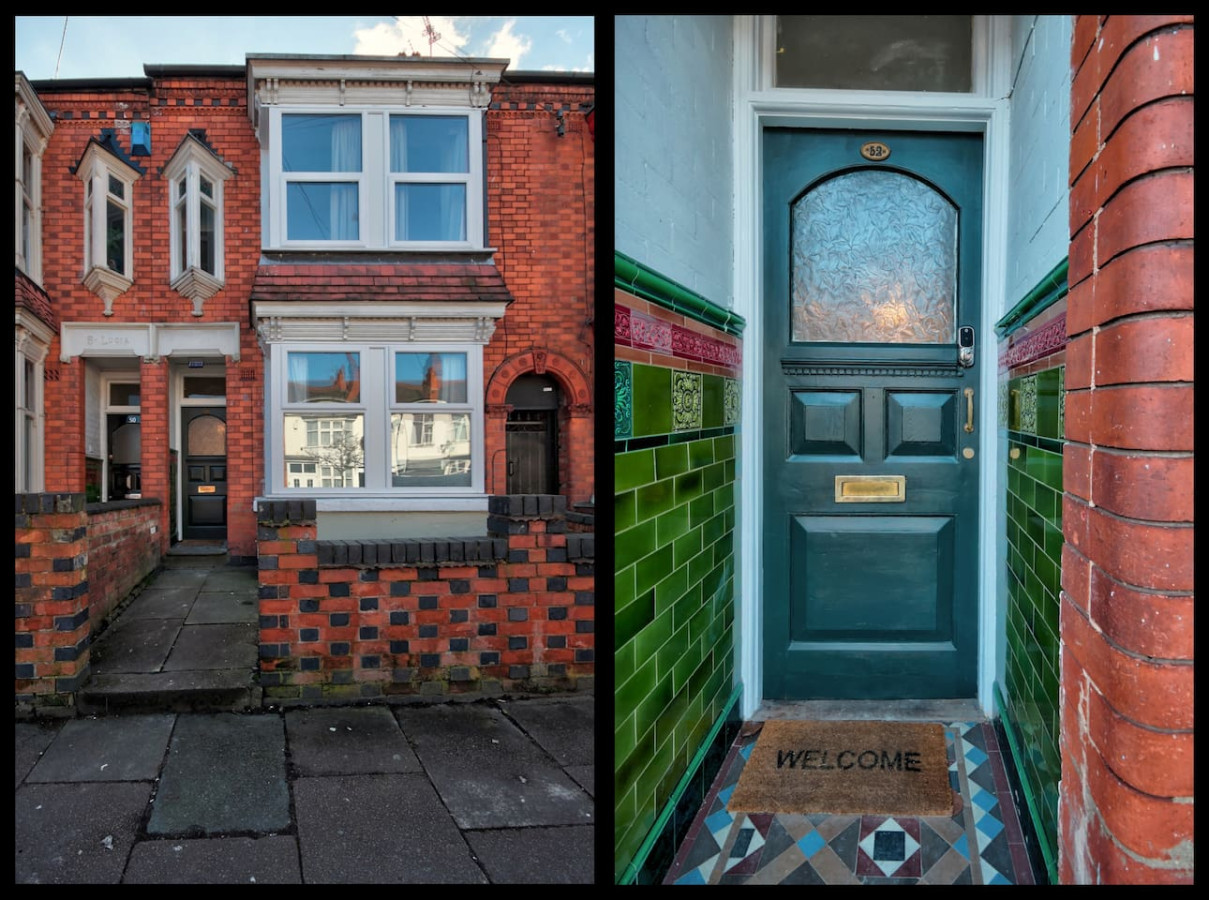
Leicester
Upperton House - Central 5 Bedroom
- Sleeps 9
- 5 bedrooms
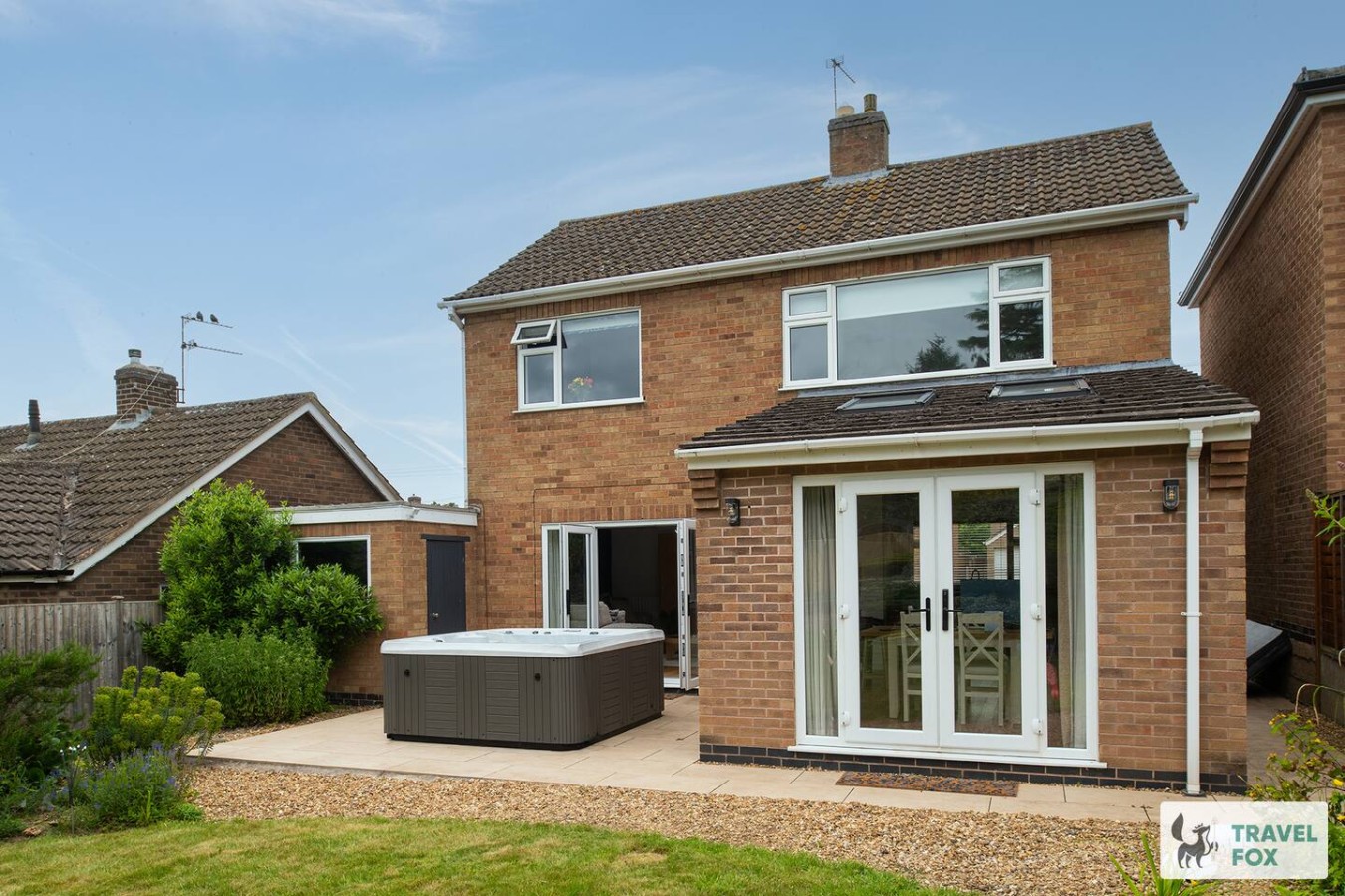
Rearsby
Vanessa's Haven - with hot tub and free parking for 3 cars!!
- Sleeps 5
- 3 bedrooms

Charnwood
UnPoplar House - Free in House Chris
- Sleeps 6
- 3 bedrooms
For homeowners
Own a holiday home near Cropston?
We manage holiday lets across the UK from 12% commission, charged after cleaning costs, with no lock-in. A co-founder visits before you decide.
How our holiday let management works →
A guide with a point of view
Written from research. Edited for real journeys.
Use the Official site links for live practical details, then use this guide for context, ideas and room to explore.
Sources
Every place on this page is checked against a published source. Each entry links the record we used and names who publishes it.
- The Bradgate Arms — bradgatearmscropstonleicestershire.co.uk operator, sector body or destination organisation
- The Badger's Sett — ratings.food.gov.uk statutory register or public authority
- Cropston Reservoir Circular Walk — planning.data.gov.uk statutory register or public authority
- Bradgate Park — bradgatepark.org operator, sector body or destination organisation
- Beacon Hill — historicengland.org.uk statutory register or public authority record not machine-readable; publisher restricts automated access
- Rothley Station — gcrailway.co.uk other published source