
High above the Vale
Croxton Kerrial
A high village with a countryside walk, a historic church and views across the Vale of Belvoir.
- Best for
- Vale of Belvoir countryside walking and medieval history
- Give it
- A countryside walk and a visit to the village church
- Don't miss
- The church's carved monk figures from Croxton Abbey
The Fox verdict
A village walk with an abbey story
Croxton Kerrial brings together Vale of Belvoir walking and a church whose carved pew ends recall Croxton Abbey.
Visit the village church for its carved pew ends, then follow the published Croxton Kerrial walk through the surrounding countryside.
Where to go
Places in Croxton Kerrial
Every place below is checked against a published source, listed with what it is and how long to give it.
Local signatures
3 placesSt Botolph and St John the Baptist
A medieval church with carved monk figures on its pew-ends, said to have come from Croxton Abbey following the dissolution.
- Visit length
- Editorial estimate: allow around 45 minutes
- Locality
- Croxton Kerrial
Vale of Belvoir Heritage Walks
This 5.5-mile circular walk starts at the former Geese and Fountain building in Croxton Kerrial, passes Branston and fields near Eaton, then returns across the high ground. The pub is closed; bring supplies.
- Visit length
- Editorial estimate: allow around 3 hours for the 5.5-mile Croxton Kerrial walk.
- Locality
- Croxton Kerrial
Belvoir Castle
Belvoir Castle offers visits to its state rooms and gardens as a separate outing from Croxton Kerrial's village walk.
- Visit length
- Editorial estimate: allow around 90 minutes
- Locality
- Belvoir, near Croxton Kerrial
Walks & outdoors
1 placeBelvoir Castle Circuit
A strenuous 21-mile circuit crosses the high ground and the Vale, passing Branston, Eaton and Stathern before returning to Croxton Kerrial. The published start is an A607 lay-by.
- Visit length
- Editorial estimate: allow around six hours for a partial walk from Croxton Kerrial; the full 21-mile circuit takes 8–10 hours.
- Locality
- Croxton Kerrial
History & heritage
1 placeThe Geese and Fountain
The former village inn at 1 School Lane is the building named as the start of the published 5.5-mile circular walk. CAMRA lists the pub as closed long term; bring supplies for the walk.
- Visit length
- Editorial estimate: allow around 5 minutes to find the walk start
- Locality
- Croxton Kerrial
No places match this filter. Choose All places to reset the list.
Three ways to explore Croxton Kerrial
Signature outings
The Former Geese and Fountain
The former inn at 1 School Lane marks the published start of the 5.5-mile circuit. CAMRA lists the pub as closed long term, so bring supplies.
The Abbey's Monk Carvings
After looking at the pews, try the church's children's trail or browse the lending library in the Lady Chapel.
A Full-Day Vale Circuit
The 21-mile circuit starts at an A607 lay-by and crosses both the ridge and the lower Vale before returning to Croxton Kerrial.
The village story
Croxton Kerrial: Church, Abbey and Vale Walk
High Vale walking, a church with links to Croxton Abbey, and landmarks of the village's past.
Village Landmarks
Along Main Street, ironstone and limestone buildings show the materials that shape Croxton Kerrial's older streets.
Church and Village Essentials
At St Botolph and St John the Baptist, the carved pew ends carry the abbey story into the village. The church also has a children's trail and a small lending library in the Lady Chapel.
The Croxton Village Store is at 8 Main Street, so the village has a place to pick up supplies before a countryside walk.
High-Ridge Country and Connections
Croxton Kerrial stands in high, open country. A published 5.5-mile circular walk passes through Branston and the fields near Eaton, taking about three hours. On the road from Knipton towards Croxton, the view reaches back to Belvoir Castle. Barrowby walks are separate routes.
The village is on the A607 between Grantham and Melton Mowbray. Plan the final approach to Croxton Kerrial by road.
Abbey and Crohtone
Croxton Abbey was a Premonstratensian house southwest of the village. Its scheduled remains include fishponds, dams and a watermill site. The remains are out of bounds, and the public footpath skirting Croxton Park gives little view of them.
In the Domesday Book, the village appears as Crohtone, with 59 households, putting it in the largest 20 per cent of recorded settlements. The later Kerrial suffix comes from the de Criol family, who held the manor in the thirteenth century.
A Longer Circuit
A separate 21-mile circuit starts from an A607 lay-by at Croxton Kerrial. It crosses ridge and Vale country through Branston, Eaton and Stathern before returning to the village; the published estimate is eight to ten hours.
Stay around Leicestershire
Make a longer stay of it
Travel Fox holiday homes around Leicestershire, linked directly to their property pages.
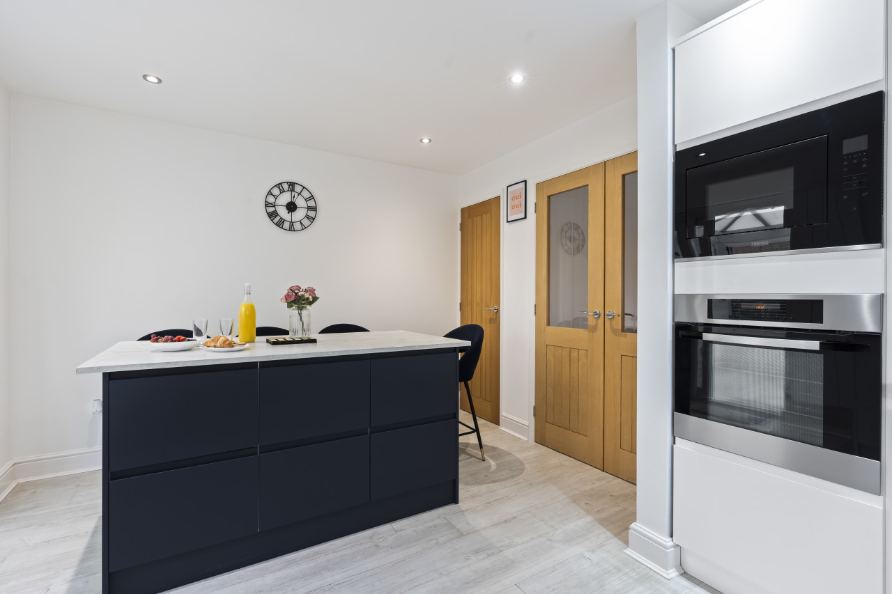
Syston
Tilly's Townhouse with Parking
- Sleeps 4
- 2 bedrooms
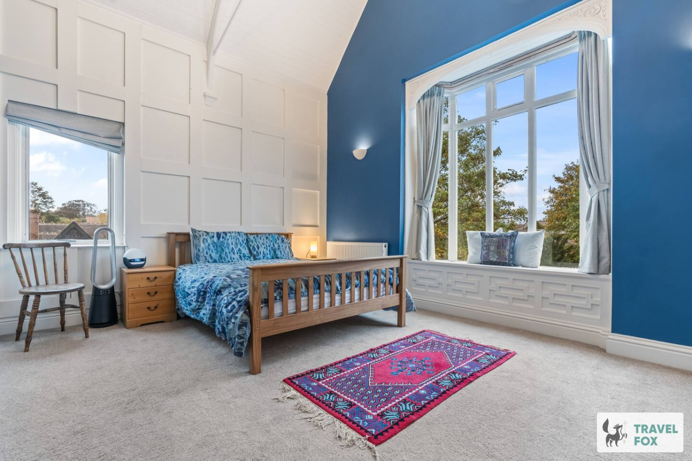
Leicester
Rachel's House with Parking!
- Sleeps 12
- 4 bedrooms
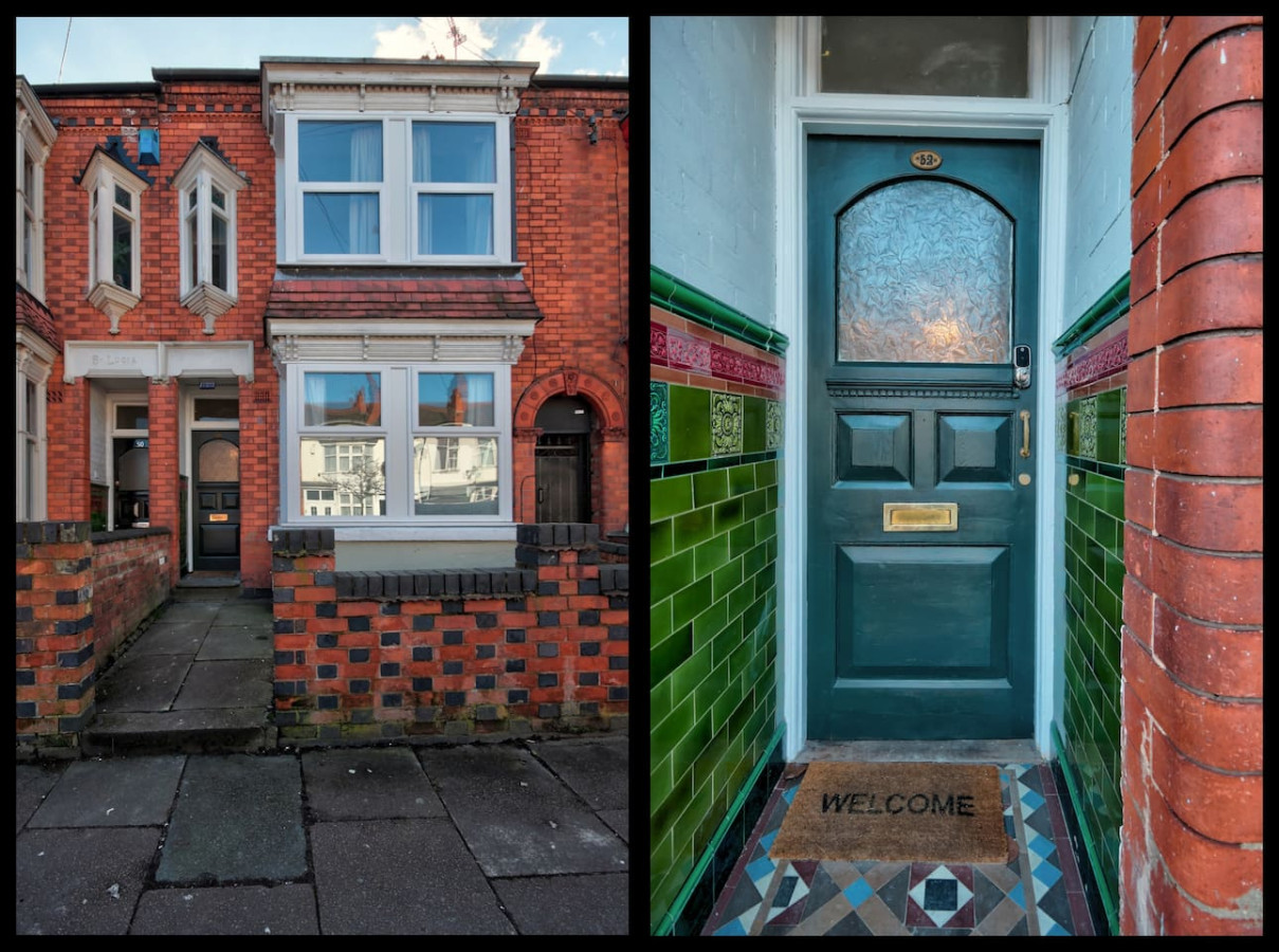
Leicester
Upperton House - Central 5 Bedroom
- Sleeps 9
- 5 bedrooms
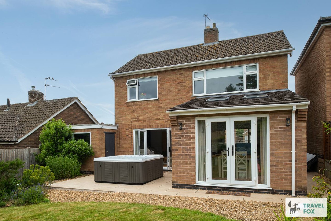
Rearsby
Vanessa's Haven - with hot tub and free parking for 3 cars!!
- Sleeps 5
- 3 bedrooms

Charnwood
UnPoplar House - Free in House Chris
- Sleeps 6
- 3 bedrooms
For homeowners
Own a holiday home near Croxton Kerrial?
We manage holiday lets across the UK from 12% commission, charged after cleaning costs, with no lock-in. A co-founder visits before you decide.
How our holiday let management works →
A guide with a point of view
Written from research. Edited for real journeys.
Use the Official site links for live practical details, then use this guide for context, ideas and room to explore.
Sources
Every place on this page is checked against a published source. Each entry links the record we used and names who publishes it.
- St Botolph and St John the Baptist — achurchnearyou.com national body or asset manager
- Vale of Belvoir Heritage Walks — visitbelvoir.co.uk operator, sector body or destination organisation
- Belvoir Castle — belvoircastle.com operator, sector body or destination organisation
- Belvoir Castle Circuit — walkingenglishman.com operator, sector body or destination organisation
- The Geese and Fountain — camra.org.uk operator, sector body or destination organisation