
From colliery to woodland
Donisthorpe
A National Forest village where mixed woodland, stone-surfaced paths and interpretation boards now occupy former colliery land.
- Woodland park
- 36 hectares on former colliery land
- Paths
- 3km of stone-surfaced routes
- Don't miss
- The colliery interpretation boards
The Fox verdict
A village best read through its transformation
A former coalfield village with woodland walks, a railway trail and a church renewed for community use.
Follow stone-surfaced paths through Donisthorpe Woodland Park, then trace the former railway on the Ashby Woulds Trail. St John the Evangelist and the Halfway House are in the village; the Rawdon Arms is nearby in Moira.
Where to go
Places in Donisthorpe
Every place below is checked against a published source, listed with what it is and how long to give it.
Local signatures
3 placesDonisthorpe Woodland Park
A 36-hectare park established on former colliery land, with mixed woodland, 3km of stone-surfaced paths and interpretation boards explaining the site's transformation.
- Visit length
- Editorial estimate: allow around 75 minutes
- Locality
- Former Donisthorpe Colliery land
The Halfway House
A family- and dog-friendly pub on Church Street, with a separate dining room, wood-burning fire and food service. It was formerly called the Turks Head.
- Visit length
- Editorial estimate: allow around 60 minutes
- Locality
- 65 Church Street, Donisthorpe
The Rawdon Arms
This Moira pub, formerly the Woodman, has a large L-shaped room, comfortable seating and commemorative plates depicting local coal mines. It has returned to the Rawdon Arms name.
- Visit length
- Editorial estimate: allow around 45 minutes
- Locality
- Moira
Walks & outdoors
1 placeAshby Woulds Heritage Trail
A 6km multi-use trail along the former Ashby and Nuneaton Joint Railway, running from Measham to Spring Cottage. Donisthorpe Woodland Park and Moira Furnace are nearby places to visit.
- Visit length
- Editorial estimate: allow around 120 minutes
- Locality
- Between Measham and Spring Cottage
History & heritage
1 placeSt John the Evangelist
A Grade II-listed church erected in 1838, with a tower and pinnacles, refurbished and reopened as Village Heart at St John's for church and bookable community use.
- Visit length
- Editorial estimate: allow around 30 minutes
- Locality
- Donisthorpe
No places match this filter. Choose All places to reset the list.
Three ways to explore Donisthorpe
Signature outings
What lies beneath
Dogs are welcome in the park, and a separate Ashby Canal towpath link leads towards Moira Furnace.
Six kilometres of connection
Walkers, cyclists and horse riders use the stone-surfaced trail; wheelchair users may need assistance in places.
Tower, pinnacles, new purpose
The church's renovation moved the font, removed old box pews and created a level nave floor with accessible facilities.
The village story
The colliery beneath the woodland
A former colliery, a woodland park and a church with a new community role tell Donisthorpe's changing story.
Names in the coalfield
The Rawdon Arms in Moira took back a name associated with nearby Rawdon Colliery, which closed in the 1980s. On Shortheath Road, the pub's L-shaped room displays commemorative plates showing local coal mines. Donisthorpe Colliery closed later, marking another chapter in the coalfield's history.
The Halfway House on Church Street was once the Turks Head. The pub has a wood-burning fire and a separate dining room, and welcomes dogs and families.
The arithmetic of closure
Donisthorpe had 14 shops when the pit was operating, and four remained by 1991. By 2024, the Village Store had closed permanently and been converted into residential accommodation.
Donisthorpe Colliery closed on 12 April 1990, when a recording crew arrived to document its steam winding engine. It was one of only two British mines still using a steam winder. The shafts had stopped winding coal in the 1960s; at closure they carried people and supplies.
From pit to paths
In 1996, Leicestershire County Council created Donisthorpe Woodland Park on 36 hectares of former colliery land, capping lagoons with clay and planting around 74,000 trees. Twenty hectares are now mixed woodland, crossed by 3km of stone-surfaced paths with interpretation boards. A separate Ashby Canal towpath link leads towards Moira Furnace.
The Ashby Woulds Trail runs for 6km along the former Ashby and Nuneaton Joint Railway from Measham to Spring Cottage. Walkers, cyclists and horse riders share its stone surface. Donisthorpe's station closed to passengers in 1931.
A church remade, a village remembered
St John the Evangelist is a Grade II-listed church of 1838. Its three-stage west tower and lancet windows preserve the Victorian design. The 2024 transformation created a level nave floor and accessible community space while retaining church use.
The Domesday Book records Donisthorpe as Durandestorp, interpreted as an outlying settlement associated with Durand. Centuries later, Donisthorpe Colliery won a national Best Pit competition in 1951. Annual output rose from around 750,000 tons during that period to just over a million by the mid-1960s.
What the trees conceal
Mature willows line the brook, while coppiced hazel supplies bean and pea sticks for local gardeners. Those everyday materials connect the restored woodland with village life.
Stay around Leicestershire
Make a longer stay of it
Travel Fox holiday homes around Leicestershire, linked directly to their property pages.
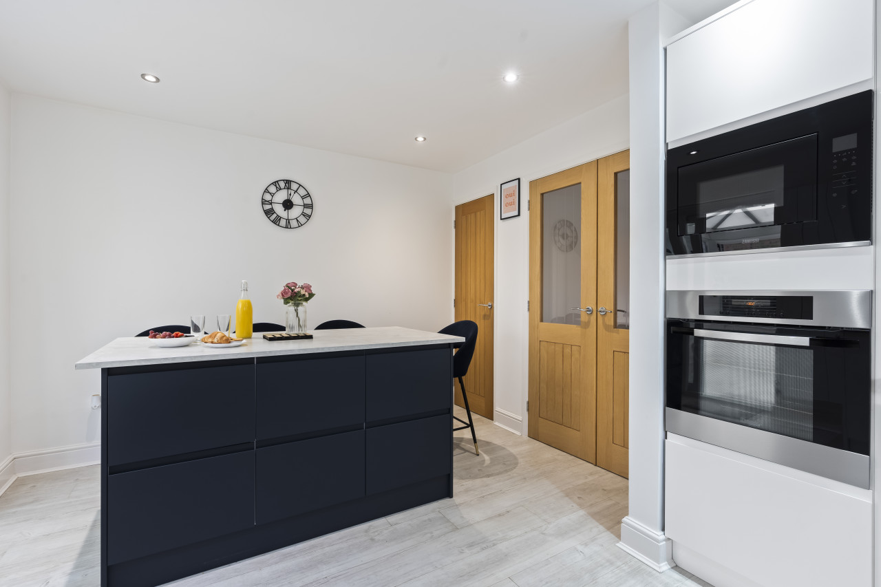
Syston
Tilly's Townhouse with Parking
- Sleeps 4
- 2 bedrooms
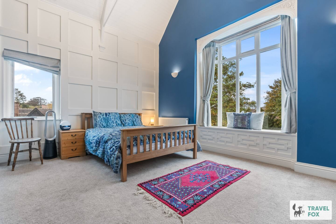
Leicester
Rachel's House with Parking!
- Sleeps 12
- 4 bedrooms
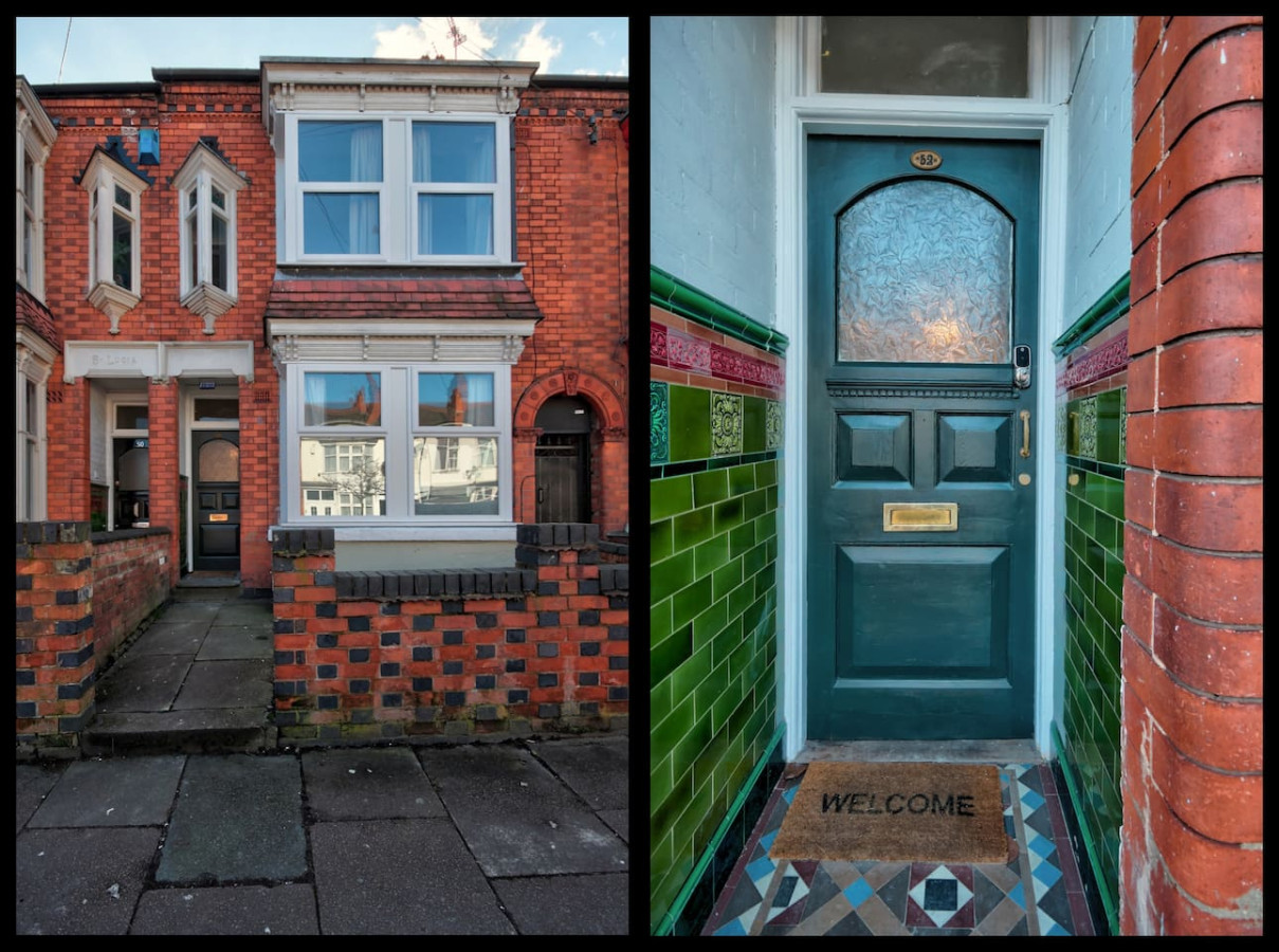
Leicester
Upperton House - Central 5 Bedroom
- Sleeps 9
- 5 bedrooms
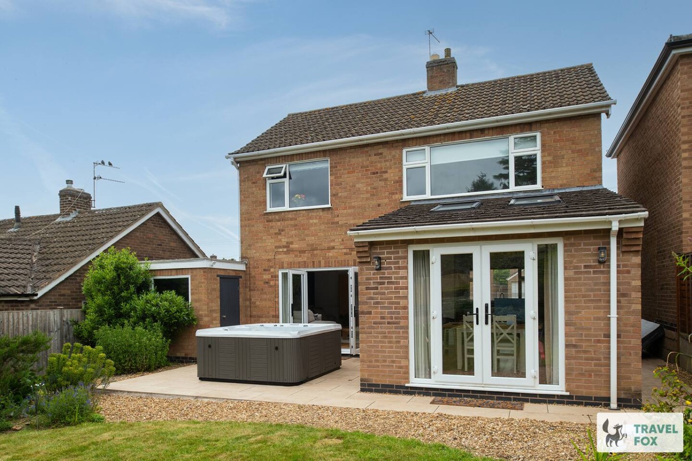
Rearsby
Vanessa's Haven - with hot tub and free parking for 3 cars!!
- Sleeps 5
- 3 bedrooms

Charnwood
UnPoplar House - Free in House Chris
- Sleeps 6
- 3 bedrooms
For homeowners
Own a holiday home near Donisthorpe?
We manage holiday lets across the UK from 12% commission, charged after cleaning costs, with no lock-in. A co-founder visits before you decide.
How our holiday let management works →
A guide with a point of view
Written from research. Edited for real journeys.
Use the Official site links for live practical details, then use this guide for context, ideas and room to explore.
Sources
Every place on this page is checked against a published source. Each entry links the record we used and names who publishes it.
- Donisthorpe Woodland Park — democracy.leics.gov.uk statutory register or public authority
- Ashby Woulds Heritage Trail — leicscountryparks.org.uk other published source
- St John the Evangelist — stjohnschurchdonisthorpe.org.uk operator, sector body or destination organisation
- The Halfway House — camra.org.uk operator, sector body or destination organisation
- The Rawdon Arms — camra.org.uk operator, sector body or destination organisation