
Peak District · Hope Valley
Bamford
A rail-linked village for reservoir history, high gritstone views and community-run refreshment.
- Landscape
- Reservoir, gritstone edges and the River Derwent
- Rail link
- Hope Valley Line from Sheffield and Manchester
- Best for
- Walks, dam history and community stops
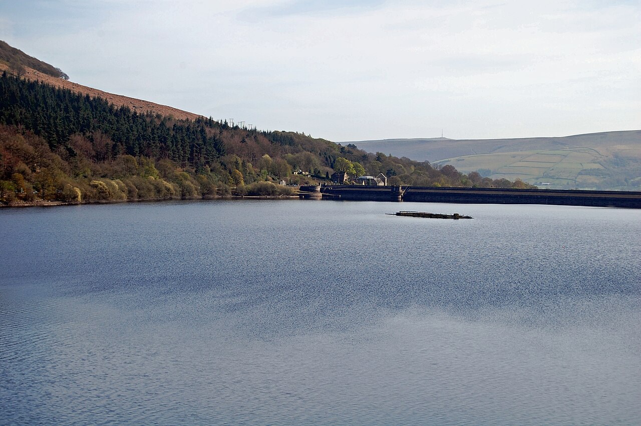
Photo: Ken Bagnall · CC BY-SA 2.0 · cropped
The Fox verdict
Come for the reservoir landscape; stay for the village's community spirit.
Bamford brings Ladybower, two gritstone heights and the Upper Derwent story within reach of a village with its own railway station.
It works best when one substantial walk or reservoir visit is paired with a smaller piece of village life: Butterfield's church, the recreation ground or a meal at one of two characterful inns.
Where to go
Places in Bamford
Every place below is checked against a published source, listed with what it is and how long to give it.
Local signatures
3 placesDerwent Dam Viewpoint
See the dam landscape associated with 617 Squadron's low-level practice runs before the raid of May 1943.
- Visit length
- Editorial estimate: Allow about 1 hour 30 minutes
- Locality
- Upper Derwent Valley
Bamford Edge
Climb to a panoramic viewpoint over the Hope Valley, Bamford and Ladybower Reservoir.
- Visit length
- Editorial estimate: Allow about 2 hours 15 minutes
- Locality
- Above Bamford
Yorkshire Bridge Inn
A family-owned country inn with pub food, local ales and a history reaching back to at least 1826.
- Visit length
- Editorial estimate: Allow about 1 hour 15 minutes
- Locality
- Yorkshire Bridge
Food & drink
1 place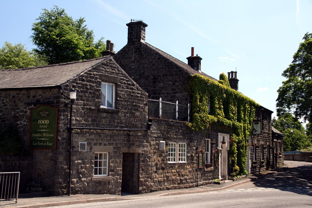
The Anglers Rest
Bamford's community-owned pub combines a pub, café and post office under one roof, with home-cooked pub food and local ales.
- Visit length
- Editorial estimate: Allow about 1 hour 15 minutes
- Locality
- Bamford village
Walks & outdoors
2 places
Ladybower Reservoir
Walk by the dam wall and overflow plugholes while looking across a reservoir built over the former villages of Ashopton and Derwent.
- Visit length
- Editorial estimate: Allow about 1 hour 15 minutes
- Locality
- North of Bamford
Win Hill
A 463-metre summit with views towards Lose Hill, Bamford Edge, Stanage Edge and Derwent Dam.
- Visit length
- Editorial estimate: Allow about 2 hours 45 minutes
- Locality
- Northwest of Bamford
History & heritage
1 place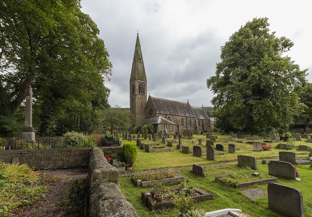
St John the Baptist's Church
William Butterfield's only church in Derbyshire is a slender Gothic Revival building with a tall spire and an airy, elongated chancel.
- Visit length
- Editorial estimate: Allow about 30 minutes
- Locality
- Bamford village
Things to do
2 placesBamford Recreation Ground
A publicly subscribed village recreation ground with a refurbished playground and a long connection to local sport and the annual sheepdog trials.
- Visit length
- Editorial estimate: Allow about 45 minutes
- Locality
- Bamford village
Hathersage Outdoor Swimming Pool
Pair a Bamford day with a swim at Hathersage's heated outdoor pool.
- Visit length
- Editorial estimate: Allow about 1 hour 30 minutes
- Locality
- Hathersage
- Access
- Book or check the Official site before travel.
No places match this filter. Choose All places to reset the list.
Three ways to explore Bamford
Signature outings
Cross the dam beside Ladybower's plugholes
Make the reservoir's scale tangible at the dam wall, then look across the water towards the drowned landscape of Ashopton and Derwent.
Follow Butterfield's long, airy chancel
Step inside Bamford's Grade II* church and see how its slightly irregular chancel makes the interior appear longer.
Pair a post-office errand with a pub stop
The Anglers Rest makes Bamford's community story practical: café, post office and the village's last pub share one roof.
The village story
Bamford: community beneath the edges
Eight original paragraphs move from a rescued pub to reservoir engineering, Gothic Revival stone and the village's rail-linked recreation.
The Pub the Village Saved
The Anglers Rest is a pub, a café and the village post office, all under one roof, and it is the last pub Bamford has left. When the previous owners looked like closing it in 2013, the newly formed Bamford Community Society raised the money to buy it — over 380 people chipping in, which made it the first community-owned pub in Derbyshire. You can still post a parcel and order a pint in the same visit.
The food is home-cooked pub cooking done properly. Reviewers single out the Sunday lunches — the pork and chicken roasts called "first class," a pheasant lunch that came with proper homemade Yorkshire pudding, real roast potatoes and fresh vegetables. There's a decent vegetarian selection, a beer garden, and local Peak District ales that often include Eyam and Intrepid. Dogs are welcome, and given who walks past the door, most of the customers arrive on foot or by bike. One Tripadvisor review title simply calls it "the best pub in the Hope Valley."
An Inn Between Water and Gritstone
A little way toward the reservoir is the Yorkshire Bridge Inn, a family-run country inn with fourteen bedrooms that has been serving since at least 1826. It takes its name from an old packhorse bridge, the last crossing point on the Derwent before you reached the Yorkshire border. The bar keeps three regular and two changing beers, alongside Derbyshire gins, and the place is set up for walkers with dogs — there are dog welcome packs, and dogs are allowed in select rooms if you ask.
You are here for the ground more than the buildings. Bamford Edge rises directly above the village, a gritstone edge with a view across the Hope Valley and down onto Ladybower Reservoir that ranks among the most photographed in the Peak. Win Hill sits opposite at 463 metres. From the reservoir you can walk the waterside circuit past the dam wall and the overflow plugholes, or head north up the Upper Derwent to the dams where 617 Squadron practised their low-level runs before the raid of May 1943.
Drowned Valleys and Butterfield Stone
Ladybower itself is a drowned landscape. The reservoir was built between 1935 and 1943, and beneath it lie the villages of Ashopton and Derwent. The navvies who built the earlier Derwent and Howden dams lived in a temporary town called Birchinlee, known locally as Tin Town, which held up to 2,000 people and then vanished.
St John the Baptist's, built in 1860, is the only church in Derbyshire designed by William Butterfield, the architect of Keble College and the cathedral in Melbourne. It is slender, with a tall spire and a long airy chancel that is very slightly out of true, which makes it read as longer still. The Moore family who ran the cotton mill paid for it, and a descendant is still the church's patron.
Rails, Recreation and the May Trials
The train helps. Bamford station sits on the Hope Valley Line, roughly hourly, about 22 minutes from Sheffield.
Every May the Recreation Ground — bought in 1925 by the people of Bamford and Thornhill by public subscription — hosts the sheepdog trials, with a fell race, sheep-shearing, and a competition for the best-conditioned dog.
Stay around Peak District
Make a longer stay of it
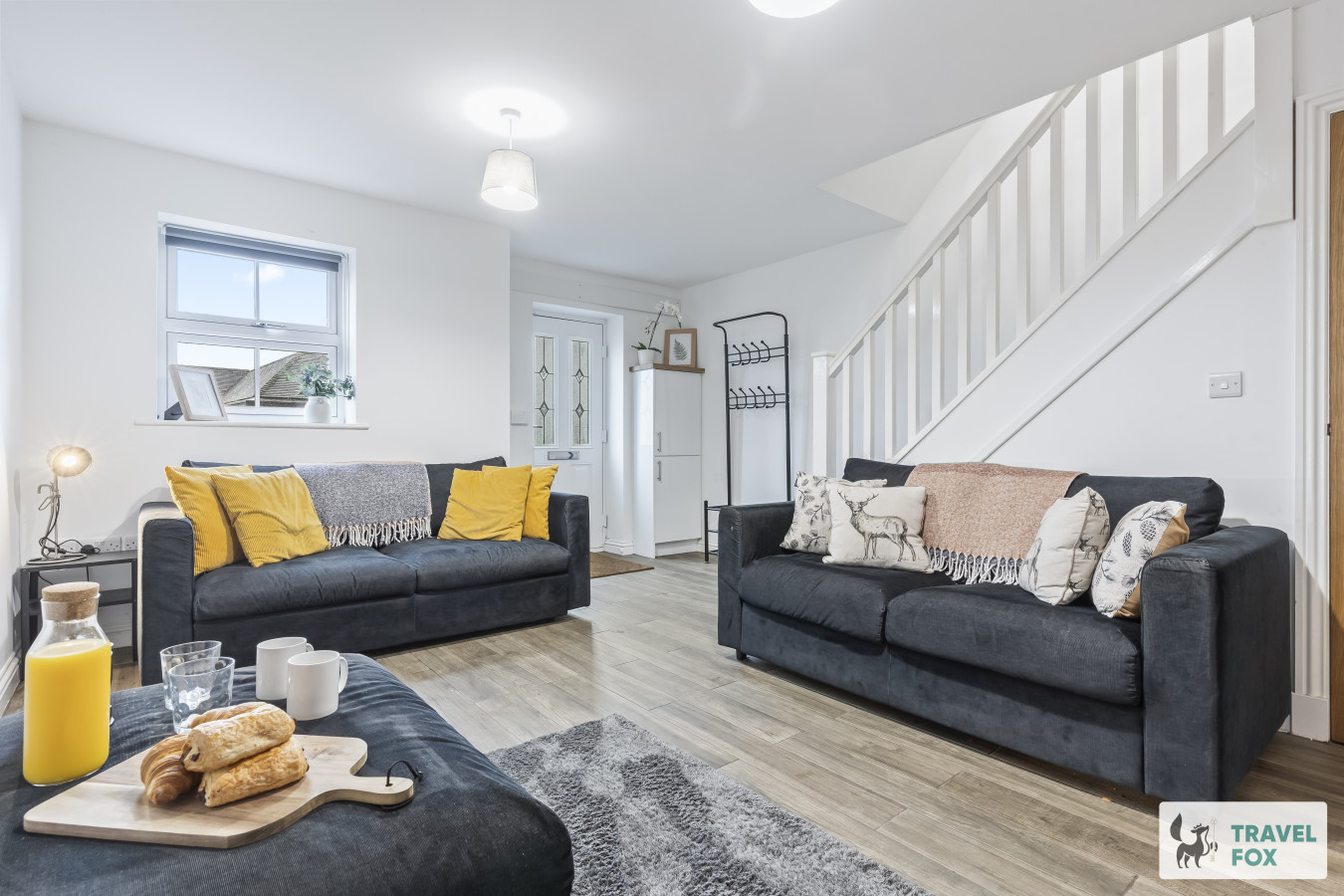
Travel Fox holiday homes around Peak District, linked directly to their property pages.
Leek
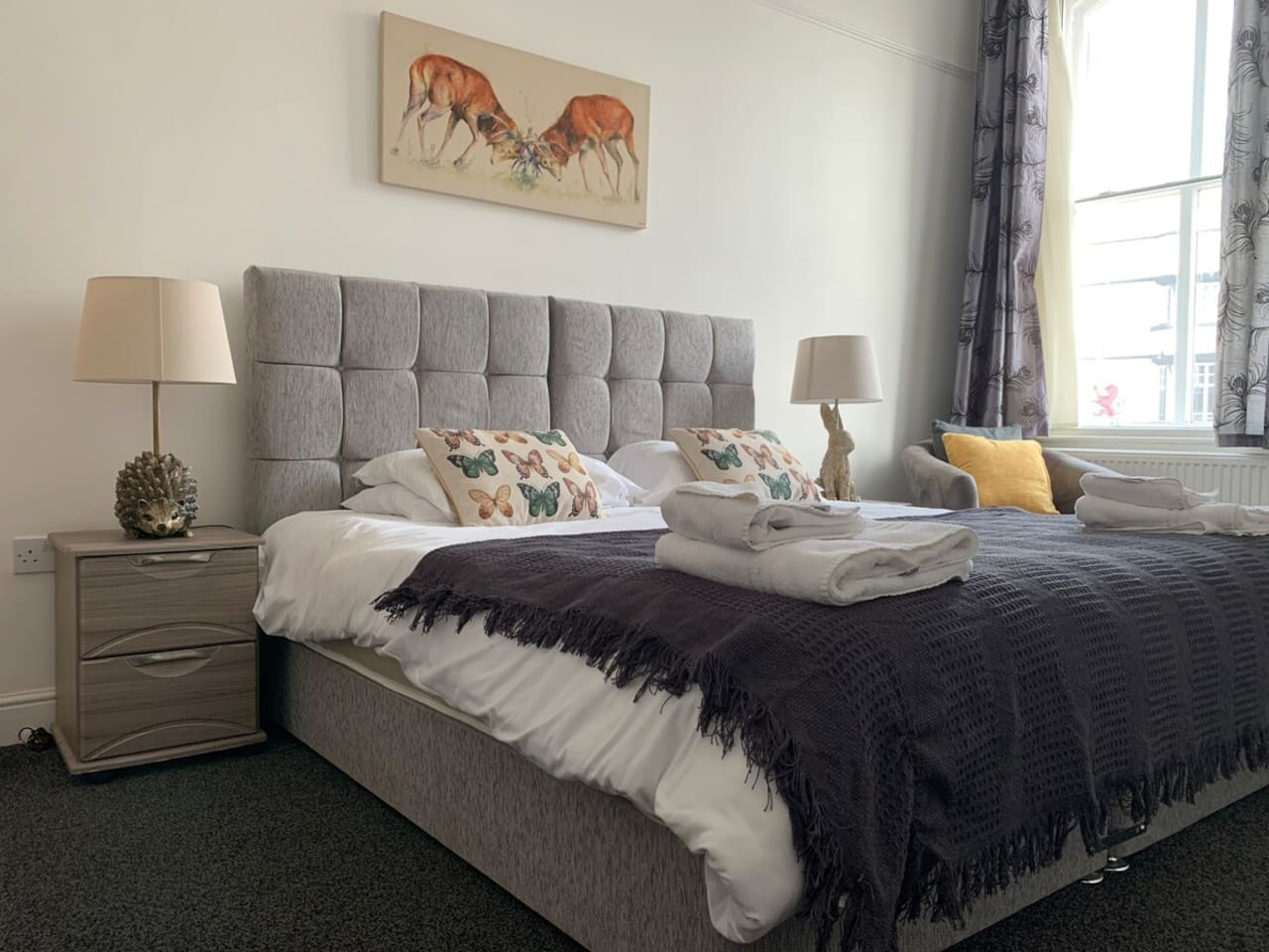
Lisa's House Leek: 20mins Alton Towers
- Sleeps 6
- 2 bedrooms
Leek
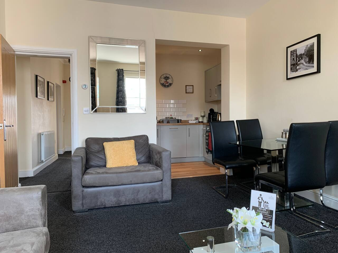
The Rudyard Suite - Large 1 Bed Apartment
- Sleeps 5
- 1 bedroom
Leek
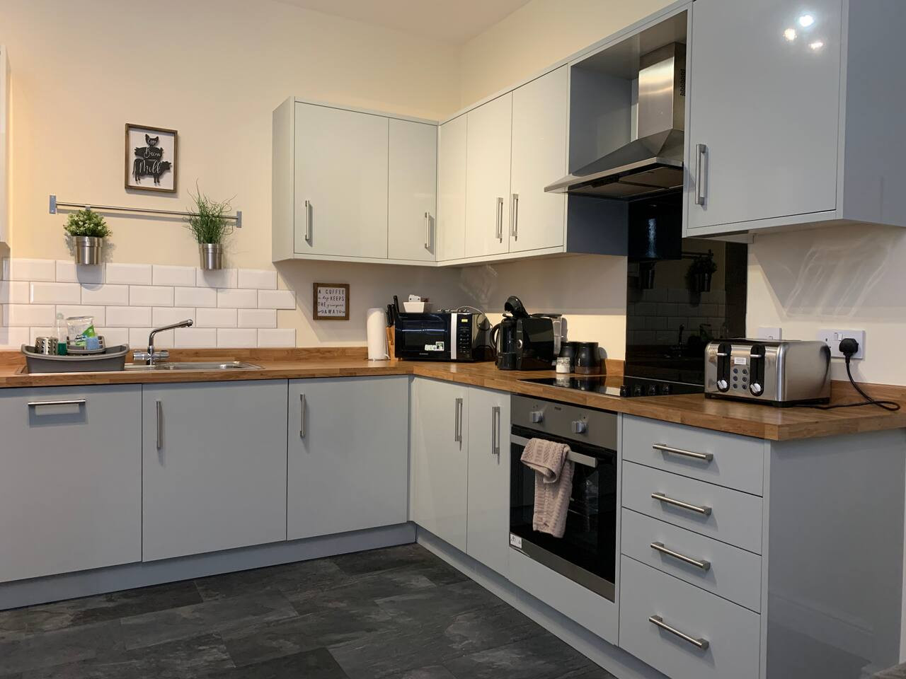
The Roaches Suite - Large 2 Bedroom Apartment
- Sleeps 7
- 2 bedrooms
Leek
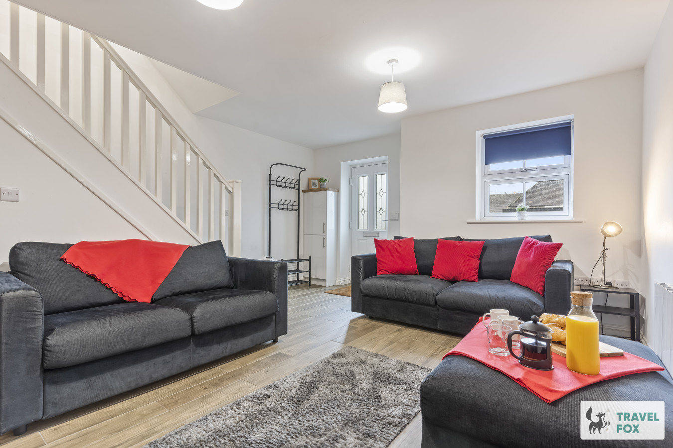
The Moorlands Suite - 1 Bed Apartment
- Sleeps 4
- 1 bedroom
Leek
Amy's House: 20mins Alton Towers
- Sleeps 6
- 2 bedrooms
For homeowners
Own a holiday home near Bamford?
We manage holiday lets across the Peak District from 12% commission, charged after cleaning costs, with no lock-in. A co-founder visits before you decide.
Holiday let management in the Peak District →
A guide with a point of view
Written from research. Edited for real journeys.
Use the Official site links for live practical details, then use this guide for context, ideas and room to explore.
Photography credits & licences
Third-party photographs are credited to their named creators and reused under the linked Creative Commons licence or public-domain dedication. Travel Fox stores an optimised local copy; the file-specific changes and any browser-applied display crop are disclosed below. Reused photographs link both to the Wikimedia Commons source record and to the declared source image; Travel Fox's own photographs carry no such record and are marked as ours. These image licences do not cover Travel Fox text, branding or page design.
- File:Derwent , Ladybower Reservoir - geograph.org.uk - 2358601.jpg — photograph by Ken Bagnall; Derwent : Ladybower Reservoir by Ken Bagnall. Source record on Wikimedia Commons. Declared source image. Licence: CC BY-SA 2.0. File changes: Downloaded from Wikimedia Commons, resized to a maximum 1920px edge and encoded as an optimised JPEG. Display changes: Displayed with responsive CSS cropping.
- File:Church of St John the Baptist GV II* 1.jpg — photograph by Barrie Price; Own work. Source record on Wikimedia Commons. Declared source image. Licence: CC BY-SA 4.0. File changes: Downloaded from Wikimedia Commons, resized to a maximum 1920px edge and encoded as an optimised JPEG. Display changes: Displayed with responsive CSS cropping.
- File:The Anglers Rest - geograph.org.uk - 2440281.jpg — photograph by Graham Hogg; The Anglers Rest by Graham Hogg. Source record on Wikimedia Commons. Declared source image. Licence: CC BY-SA 2.0. File changes: Downloaded from Wikimedia Commons, resized to a maximum 1920px edge and encoded as an optimised JPEG. Display changes: Displayed with responsive CSS cropping.
Sources
Every place on this page is checked against a published source. Each entry links the record we used and names who publishes it.
- Ladybower Reservoir — Peak District National Park Authority
- Derwent Dam Viewpoint — Severn Trent Water
- Bamford Edge — Visit Peak District & Derbyshire
- Win Hill — Severn Trent Water
- The Anglers Rest — The Anglers Rest
- Yorkshire Bridge Inn — Yorkshire Bridge Inn
- St John the Baptist's Church — Church of England
- Bamford Recreation Ground — Bamford with Thornhill Recreation Ground CIO
- Hathersage Outdoor Swimming Pool — Hathersage Swimming Pool