
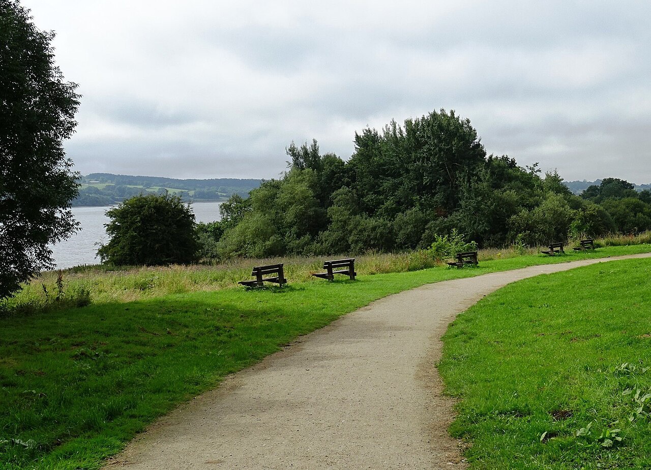
Water, pasture and lead-mining country
Carsington
A small stone village where reservoir paths, an upland mining landscape and a generous country pub fit naturally into the same visit.
- Best for
- Reservoir walks, watersports and local history
- Give it
- Half a day, or longer for the full circuit
- Don't miss
- The reservoir loop and St Margaret's Gell gallery
Photo: John M · CC BY-SA 2.0 · cropped
The Fox verdict
A village visit shaped by water and old lead ground
Carsington combines a compact historic village with the broad recreation choices of Carsington Water close by.
Begin with St Margaret's and the Miners Arms, then choose between the reservoir circuit, family facilities, watersports or a stretch of the High Peak Trail.
Your picks, your pace
Make Carsington yours
Choose a mood or build your own list. Your saved stops are an ordering aid, with a direct map route when you are ready.
Local signatures
3 places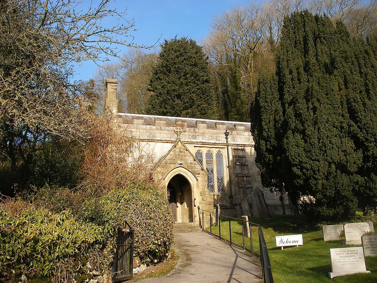 Start here
St Margaret's Church
A small Grade II* church chiefly of the 14th century, with a Gell-family west gallery dated 1704 and a sundial inscribed "Re-edified 1648."
- Visit length
- Editorial estimate: allow around 30 minutes
- Locality
- lower slopes of Carsington Pastures
Carsington Water Visitor Centre
The reservoir's family base, with an adventure playground and toddler area, cycle hire, a climbing wall, picnic areas and an interactive water exhibition.
- Visit length
- Editorial estimate: allow around 60 minutes
- Locality
- Carsington Water
High Peak Trail
A former railway line for walking and cycling above the village, reached on a loop through Carsington, Hopton and Carsington Pasture.
- Visit length
- Editorial estimate: allow around 90 minutes for a local out-and-back section
- Locality
- above Carsington and Hopton
Food & drink
1 place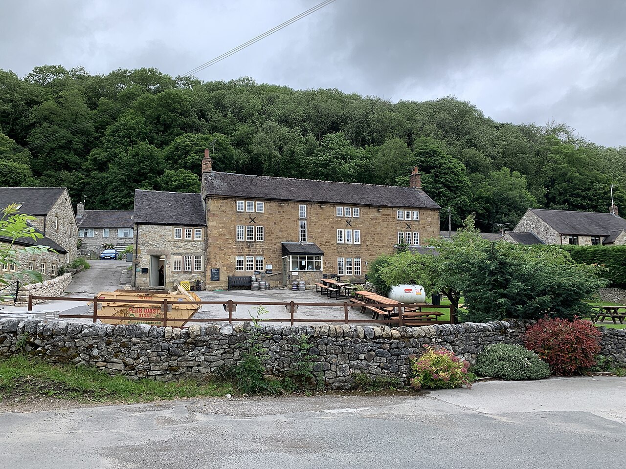
The Miners Arms
Carsington's family-run country freehouse, with a broad pub menu, real ale, log fires, a beer garden and a children's play area.
- Visit length
- Editorial estimate: allow around 75 minutes
- Locality
- Carsington village
- Access
- Reports about indoor dog access conflict; check directly before relying on dog-friendly indoor seating.
Walks & outdoors
1 place
Carsington Water Circular
A roughly eight-mile circuit around the reservoir, passing bird hides, with several shorter alternatives and some pushchair- and wheelchair-friendly options.
- Visit length
- Editorial estimate: allow around 3 hours for the full circuit
- Locality
- Carsington Water
Things to do
1 placeCarsington Sports & Leisure
A waterside activity centre offering courses and hire for sailing, kayaking, windsurfing and powerboating, from beginner level upwards.
- Visit length
- Editorial estimate: allow around 90 minutes for a booked activity
- Locality
- Carsington Water
- Access
- Confirm the operator and chosen activity before travel.
No places match this filter. Choose All places to reset the list.
On the map
Carsington at a glance
Tap a marker to jump to its guide card.
Three ways to explore Carsington
Signature outings
Take the Reservoir Loop
Follow the roughly eight-mile Carsington Water circuit past bird hides, or choose one of the shorter loops.
Find the Gell Gallery
Step into St Margaret's to see the west gallery paid for by Sir Philip Gell and dated 1704.
Settle In at the Miners Arms
Pause at Carsington's family-run freehouse for generous pub food, real ale and the choice of fireside or garden seating.
The village story
Carsington Village Guide
Reservoir paths, village hospitality and centuries of lead-mining history meet beneath Carsington Pasture.
Stone Cottages and the Village Pub
The village green has three metal animals chasing each other around a tree, installed as part of a £50,000 enhancement. It sits below a row of stone cottages lining the roadside, with Carsington Pasture rising steeply behind them to about a thousand feet. The valley is wooded, the pasture is bare, and the two things are close enough that you can walk from one to the other in an afternoon.
The Miners Arms is the only pub in the village, and it says so on its own signage. It's a family-run freehouse directly on the Carsington Water circular path, so walkers can stop here on the way round.
The food is unfussy and there's a lot of it. Homemade steak-and-stout pie, fresh fish with tartare sauce, ploughman's lunches, tapas plates. The Sunday roast is a sharing platter of three meats with all the trimmings, served across three afternoon sittings — a level of organisation that suggests they've learned to manage demand. There's a carvery on Sundays, Steak Night on Wednesdays and Fish and Chip Night on Fridays. Timothy Taylor Landlord is the regular ale, there are log fires and a beer garden, and an outdoor bar does cocktails, slushies and mocktails when the weather cooperates.
Facilities at Carsington Water
There are no shops in Carsington itself. For anything beyond the pub you head down to Carsington Water, about 1.3 miles away in a straight line — cafes and a visitor centre with cycle hire, a climbing wall and an adventure playground.
Reservoir Loops and Lead-Mining History
The reservoir is the reason most people come. It's a 741-acre sheet of water, completed in 1992, which makes it younger than a good deal of the furniture in the pub. The full circular is about eight miles with several shorter loops off it, some flat enough for pushchairs, and there are bird hides along the way.
That lead mining is most of the village's history. The Romans worked it — inscribed lead ingots have been found nearby, and some archaeologists think this was Lutudarum, the administrative centre of the whole Roman operation. St Margaret's Church, Grade II* listed and largely 14th-century, has a west gallery the Gell family paid for in 1704 and a sundial reading "Re-edified 1648." Pevsner, characteristically, described it as "a nave and chancel in one."
Getting to Carsington
Cromford station is about 4.1 miles from Carsington in a straight line, Wirksworth town centre about 2.2 miles; road journeys are longer. Buses 110 and 111 run through on their way between Ashbourne and Matlock.
Stay around Peak District
Make a longer stay of it
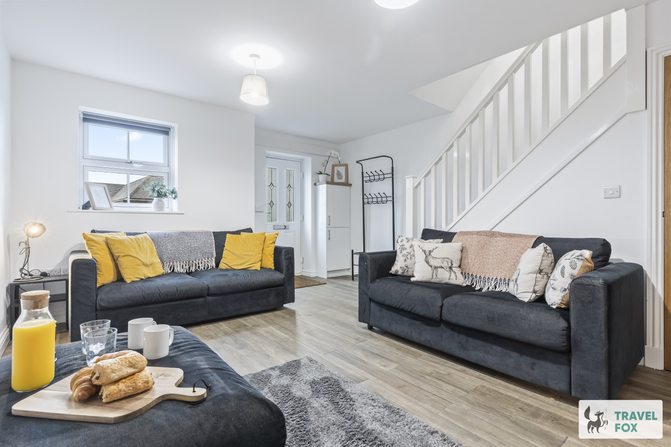
Travel Fox holiday homes around Peak District, linked directly to their property pages.
Leek
Lisa's House Leek: 20mins Alton Towers
- Sleeps 6
- 2 bedrooms
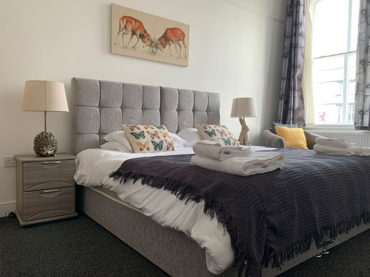
Leek
The Rudyard Suite - Large 1 Bed Apartment
- Sleeps 5
- 1 bedroom
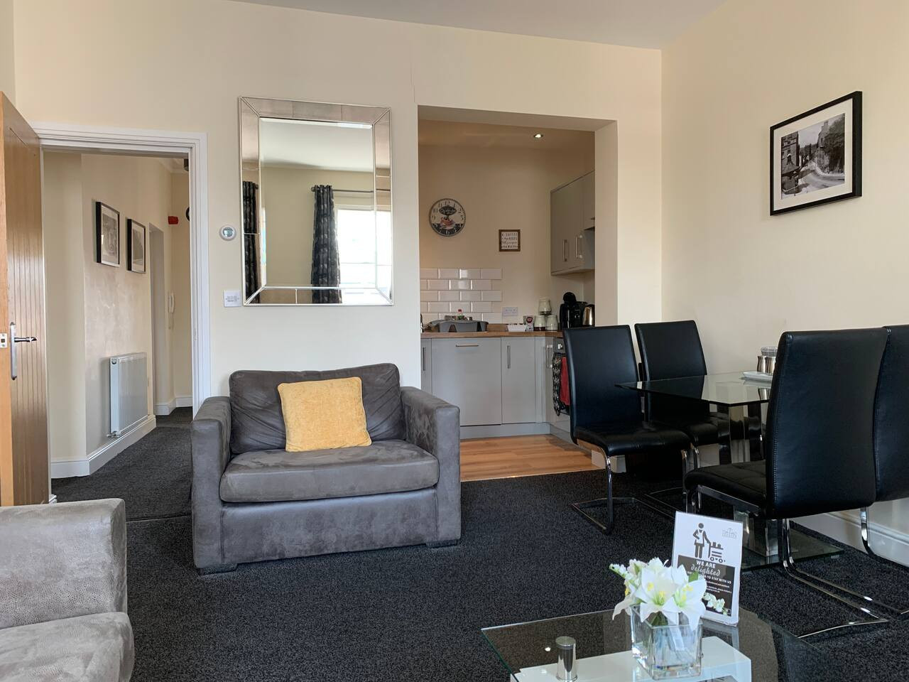
Leek
The Roaches Suite - Large 2 Bedroom Apartment
- Sleeps 7
- 2 bedrooms
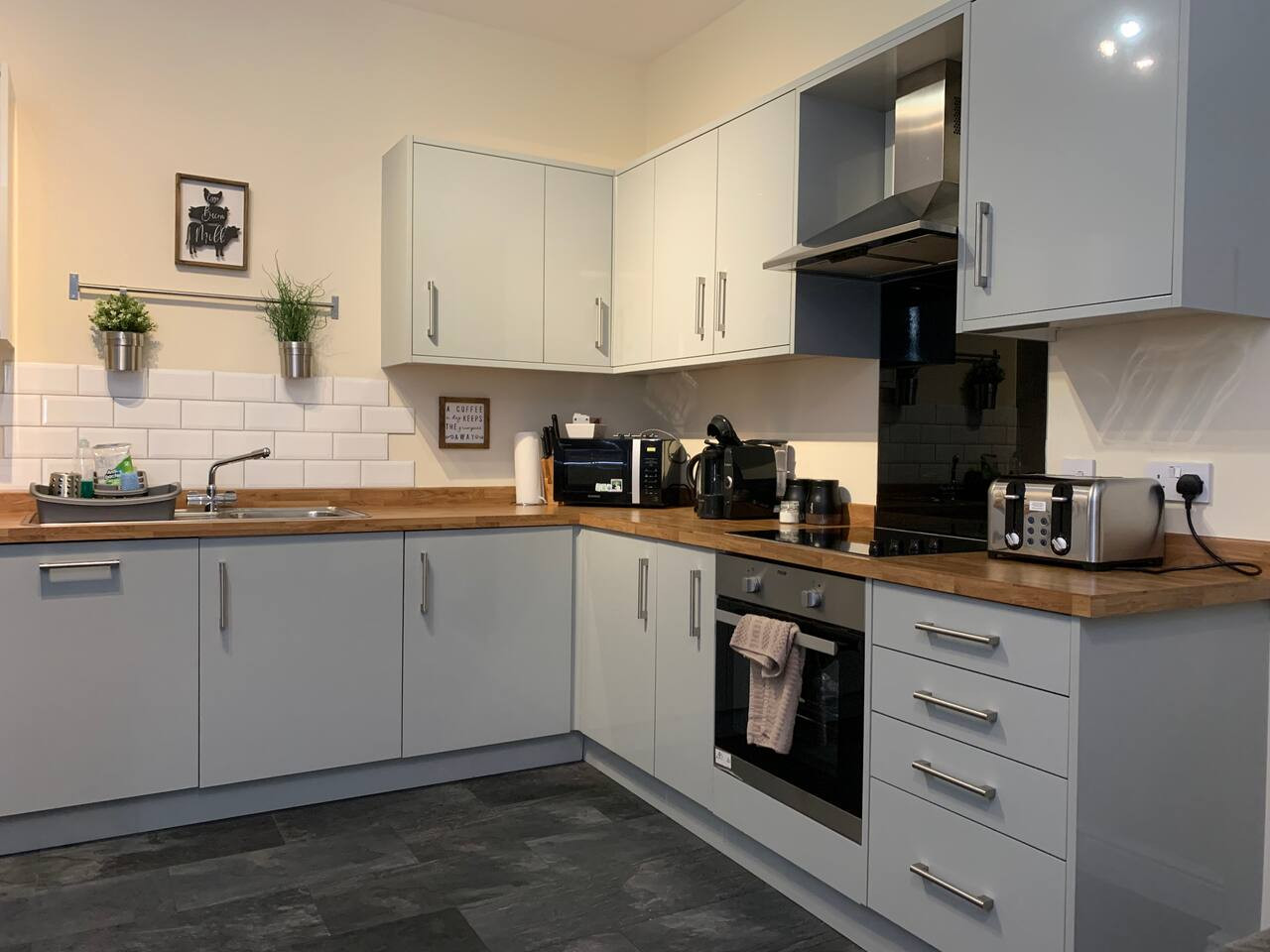
Leek
The Moorlands Suite - 1 Bed Apartment
- Sleeps 4
- 1 bedroom
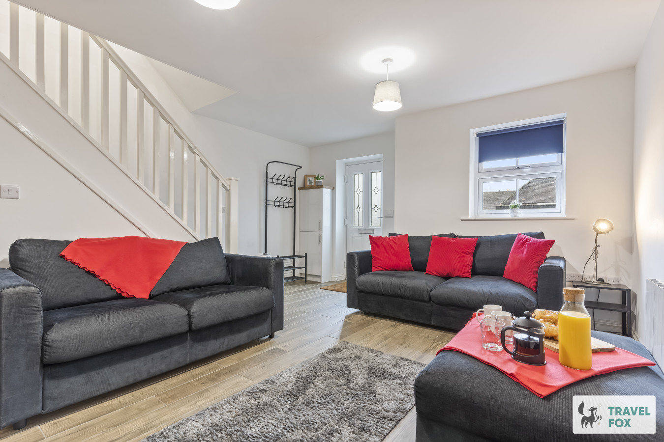
Leek
Amy's House: 20mins Alton Towers
- Sleeps 6
- 2 bedrooms
For homeowners
Own a holiday home near Carsington?
We manage holiday lets across the Peak District from 12% commission, charged after cleaning costs, with no lock-in. A co-founder visits before you decide.
Holiday let management in the Peak District →
A guide with a point of view
Written from research. Edited for real journeys.
Use the Official site links for live practical details, then use this guide for context, ideas and room to explore.
Photography credits & licences
Third-party photographs are credited to their named creators and reused under the linked Creative Commons licence or public-domain dedication. Travel Fox stores an optimised local copy; the file-specific changes and any browser-applied display crop are disclosed below. Reused photographs link both to the Wikimedia Commons source record and to the declared source image; Travel Fox's own photographs carry no such record and are marked as ours. These image licences do not cover Travel Fox text, branding or page design.
- File:Circular path around Carsington Water - geograph.org.uk - 5474498.jpg — photograph by John M; Circular path around Carsington Water by John M. Source record on Wikimedia Commons. Declared source image. Licence: CC BY-SA 2.0. File changes: Downloaded from Wikimedia Commons, resized to a maximum 1920px edge and encoded as an optimised JPEG. Display changes: Displayed with responsive CSS cropping.
- File:St Margaret's Church Carsington Geograph-1686805-by-SMJ.jpg — photograph by SMJ; SMJ. Source record on Wikimedia Commons. Declared source image. Licence: CC BY-SA 2.0. File changes: Downloaded from Wikimedia Commons, resized to a maximum 1920px edge and encoded as an optimised JPEG. Display changes: Displayed with responsive CSS cropping.
- File:The Miners Arms Inn at Carsington - geograph.org.uk - 6520792.jpg — photograph by Andrew Abbott; The Miners Arms Inn at Carsington by Andrew Abbott. Source record on Wikimedia Commons. Declared source image. Licence: CC BY-SA 2.0. File changes: Downloaded from Wikimedia Commons, resized to a maximum 1920px edge and encoded as an optimised JPEG. Display changes: Displayed with responsive CSS cropping.
Sources
Every place on this page is checked against a published source. Each entry links the record we used and names who publishes it.
- The Miners Arms — The Miners Arms
- St Margaret's Church — Church of England, A Church Near You
- Carsington Water Visitor Centre — Severn Trent Water
- Carsington Water Circular — Severn Trent Water
- Carsington Sports & Leisure — Health and Safety Executive, Adventure Activities Licensing Service
- High Peak Trail — Derbyshire County Council