
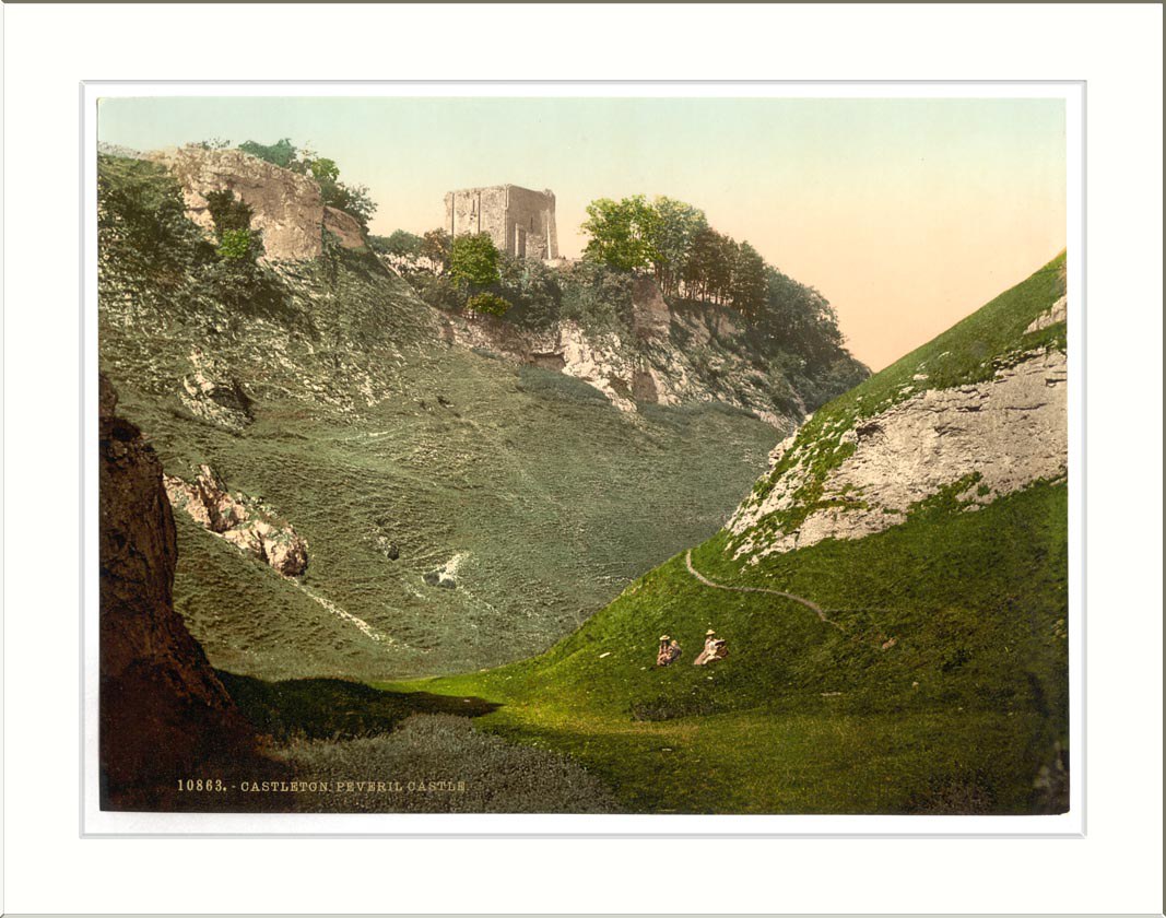
Caves, crags and village history
Castleton
A compact Hope Valley village where a Norman castle, four show caves and the Great Ridge meet.
- Best for
- Norman history, show caves and ridge walks
- Give it
- A half day, or longer for a Mam Tor walk
- Don't miss
- Peveril Castle above the roofs and Blue John underground
Photo: Snapshots Of The Past · CC BY-SA 2.0 · cropped
The Fox verdict
A small village with a remarkable amount below and above ground
Castleton brings together an early Norman fortress, the Dark Peak–White Peak boundary and four contrasting show caves.
Start with the village museum or St Edmund's Church, choose a cavern for an underground counterpoint, then look up to Peveril Castle or Mam Tor. The appeal is the close fit between the village's history, its limestone landscape and the paths that begin around Castleton.
Your picks, your pace
Make Castleton yours
Choose a mood or build your own list. Your saved stops are an ordering aid, with a direct map route when you are ready.
Local signatures
3 placesCastleton Visitor Centre
A National Park visitor centre housing the Castleton Historical Society museum and its village artefacts.
- Visit length
- Editorial estimate: around 45 minutes
- Locality
- Buxton Road
Peak Cavern
A show cave with Britain's largest natural cave entrance and the history of the rope-making community that lived at its mouth until 1915.
- Visit length
- Editorial estimate: around 90 minutes
- Locality
- Castleton
- Access
- Cave conditions and access can vary; check the Official site before travel.
Treak Cliff Cavern
A show cave displaying Blue John stone in situ and one of only two working Blue John mines in the world.
- Visit length
- Editorial estimate: around 75 minutes
- Locality
- around Castleton
- Access
- The visit is underground; check the Official site for current conditions and access.
Walks & outdoors
1 place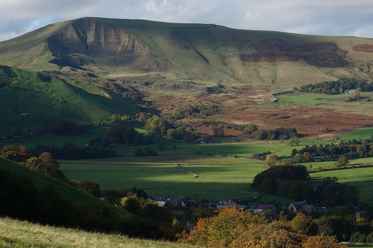
Mam Tor
Start at Mam Nick car park for the climb to the 517-metre Shivering Mountain and a walk along the Great Ridge.
- Visit length
- Editorial estimate: around 120 minutes
- Locality
- Mam Nick car park, west of Castleton
- Access
- Hill paths can be steep and loose; check conditions and use suitable footwear.
History & heritage
2 places
Peveril Castle
One of England's earliest Norman fortresses, with a short, steep approach and broad valley views.
- Visit length
- Editorial estimate: around 75 minutes
- Locality
- on the crag above Castleton
- Access
- The approach is steep; check the Official site for current access information.
St Edmund's Church
A Grade II* parish church with a Norman core, dated box pews and a position on a mound within the medieval Town Ditch.
- Visit length
- Editorial estimate: around 30 minutes
- Locality
- on a mound within the medieval Town Ditch
- Access
- Check locally before relying on interior access.
Things to do
2 places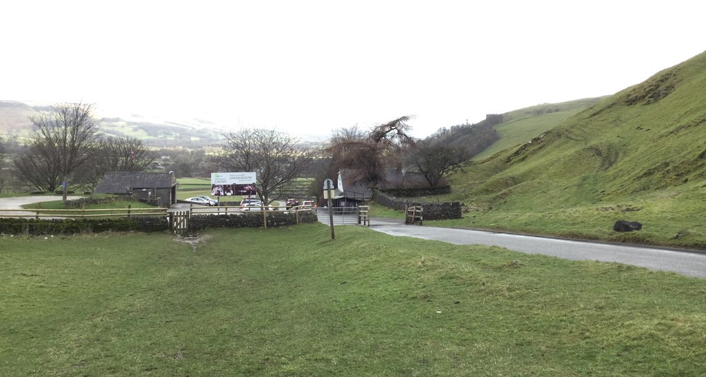
Speedwell Cavern
A show cavern with an underground boat ride to the chamber known as the Bottomless Pit.
- Visit length
- Editorial estimate: around 90 minutes
- Locality
- Winnats Pass
- Access
- The visit is underground; check the Official site for current conditions and access.
Blue John Cavern
A limestone show cave where Castleton's banded Blue John stone can be seen in situ.
- Visit length
- Editorial estimate: around 60 minutes
- Locality
- near Mam Tor, west of Castleton
- Access
- The visit is underground; check the Official site for current conditions and access.
No places match this filter. Choose All places to reset the list.
On the map
Castleton at a glance
Tap a marker to jump to its guide card.
Three ways to explore Castleton
Signature outings
Peveril above the valley
Take the short, steep approach to one of England's earliest Norman fortresses and its big valley views.
The Bottomless Pit
Take Speedwell Cavern's underground boat ride towards the chamber called the Bottomless Pit.
Mam Tor and the Great Ridge
Reach the 517-metre summit of Mam Tor, then follow the Great Ridge towards Hollins Cross, Back Tor and Lose Hill.
The village story
Castleton Village Guide
Five pubs, four caverns, one Norman castle and a village set exactly where limestone and gritstone meet.
A Village Built Around Five Pubs
The George stands on Castle Street, opposite the church, in a building that dates from 1543. In 2025 it was crowned Best Sustainable Pub at the Great British Pub Awards, which in practice means John and Vicky Judson run a No Dig allotment on land near the pub, locals bring their surplus home-grown produce in exchange for pints, and the kitchen turns the gluts into jams, chutneys, sauces, sorbets, cider vinegar, flavoured liqueurs and chewy fruit leather. John makes goods to sell to visitors in a solar-powered workshop. The head chef is Ben Somerton, there are five cask beers on, and the pizzas are made in-house. It is one pub of five in a village of 544 people.
The other four are within a few minutes' walk, because Castleton is that kind of place: a small village at the western head of the Hope Valley, ringed by hills on three sides and doing a lot with the space. The Peakshole Water runs through the middle of it, a stream on its way to join the River Noe. To the south the ruins of Peveril Castle sit on a crag directly above the roofs. To the west the only road out climbs Winnats Pass, a steep limestone gorge whose name is a corruption of "wind gates," and it is the only westbound exit because the old A625 over Mam Tor slid off the hillside and was closed for good in 1979. The broken carriageway is still up there. Castleton sits right on the line where the gritstone Dark Peak to the north meets the limestone White Peak to the south, which is a geological way of saying the walking is very good in both directions.
Ye Olde Cheshire Cheese Inn, on How Lane, has the present building dating from 1660 and its licence from 1748. The names of every landlord since that year are written along the beams in the bar, so you can drink under two and a half centuries of predecessors. The speciality is homemade pies, and the one to order is the Inn Keeper Pie — steak, bacon, black pudding, potatoes and carrots under homemade gravy. There is also steak and ale, a creamy chicken and tarragon under a puff-pastry lid, lamb shanks, and a white chocolate cheesecake if you have room, which you won't. The ales run to Abbeydale Moonshine, Bradfield Farmers Ale and Peak Ales Chatsworth Gold. One reviewer got as far as "Best pub pie ever!!!" before running out of superlatives.
Coaching Inns and Tea-Room Tables
Ye Olde Nag's Head is a 17th-century coaching inn with nine letting rooms, some with antique four-poster beds and spa baths, and log fires across three reception rooms. All three areas are dog friendly. The kitchen does the Derbyshire Breakfast — sausage, smoked bacon, black pudding, free-range egg, grilled tomatoes, field mushrooms, baked beans and fried bread, available to take away if you have a hill to be up — and among the specials people remember an extra-large Yorkshire pudding filled with local bangers and mash, black pudding and onion gravy. The pub's own description of who it serves is worth quoting in full: "Everyone welcome; even muddy boots ~ campers, walkers, business people, coach parties, you name it, we welcome you all." A guest confirmed the dog was made to feel welcome and the muddy boots weren't an issue, which in this village counts as the whole point.
The Bull's Head, on Cross Street, is a Robinsons tied house that reopened after roughly half a million pounds of refurbishment — a new timber bar, open fires, an antler wall, rooms upstairs. It pours up to six Robinsons ales including Old Tom at 8.5%, keeps an A-to-Z of around twenty gins, and does fish and chips and steak with chunky chips and seasonal vegetables from local suppliers. The Castle, overlooked by its namesake, has stood for centuries, trades on its ghost stories, and keeps a freehouse range that has run to Sharp's Doom Bar, Marston's Pedigree and Greene King Old Speckled Hen.
The tea rooms are a genuine spread rather than an afterthought. Three Roofs Café sits on The Island in the centre, opposite the visitor centre, run by Carl Bracken and Lee Woolfe since 2011; the meats come from Hathersage Butchers and the free-range eggs from a few miles away, and breakfast runs until noon before the day switches to soups, roast-meat sandwiches and Bakewells. Down at the quieter Goosehill end, Dolly's Tearooms has been going since 1999 under Adam Stebel; a reviewer called the Aberdeen Angus steak sandwich "absolutely exceptional," and the hot roast pork comes with sage stuffing and apple sauce.
Old Barns, Blue John and Open Hills
For dinner, Four Monkeys occupies a cruck barn built in 1530 — the number is where the restaurant's earlier name came from — originally a medieval tithe barn where farmers' contributions were collected and stored, still low-ceilinged and stone-walled. It opens Thursday to Sunday and the menu is deliberately small and made for sharing: a Chicken Shish Monkey Bowl, a Nasi Goreng, a Puttanesca, and a Devils Arse Pizza, which is a local joke that needs some explaining and gets it below.
The shops are split cleanly between people going up a hill and people buying a souvenir of one. Several outdoor shops kit out walkers along the narrow lanes. The other trade is Blue John, a banded purple-and-yellow fluorspar mined here in small quantities outside the tourist season and worked into jewellery — Castleton is one of the only places in the world it is found.
The walking starts from the village centre without a car. Cave Dale is a dry limestone gorge — a collapsed cave roof, rocky and often wet underfoot — that climbs straight up behind the houses through what feels like a narrow alleyway, passing the gated mouth of Peak Cavern and giving the classic low view up to the castle. A short circuit of it is under three miles. The Winnats Pass loop, a similar length, runs up the gorge past Speedwell Cavern. The signature walk, about five and a half miles from the visitor centre, strings Cave Dale up onto open moor, over the summit of Mam Tor at 517 metres — the "Shivering Mountain," so called because its loose beds of shale and sandstone are permanently slipping, which is exactly why the road below it failed — then along the Great Ridge to Hollins Cross and back down through the bracken. From Hollins Cross you can drop the other way into Edale, the start of the Pennine Way at the foot of Kinder Scout, entirely on foot. On a clear day from the ridge there are glimpses of Manchester.
Routes for Every Pace and Four Caves
For anyone not up to the gorges, the National Park's Castleton family walk keeps to level pavement throughout. Peveril Castle is not among the accessible options: the approach from the top of Castle Street is steep, though it is a short climb to big valley views and one of England's earliest Norman fortresses. There is a stream in the village, too — from the Hope side, a marked path leads to a natural crater in the bed of the Peakshole Water where it deepens to three or four feet, with grass alongside for a picnic. There are no bins, so you take your litter home.
Then there are the caves, four of them, which turn a wet week into a busy one. Peak Cavern has the largest natural cave entrance in Britain and, for centuries, was known as the Devil's Arse; it changed its name officially in 1880 so as not to offend Queen Victoria, who came to watch a concert inside it. Up to forty families once lived in two rows of cottages in that cave mouth, with stables, an inn and three shops, making rope, until the last of them left in 1915. Speedwell Cavern began as a lead mine that a syndicate poured £14,000 into and never struck a decent vein; the flooded workings are now the underground boat ride to a chamber called the Bottomless Pit. Blue John Cavern and Treak Cliff Cavern both show the stone in the rock, and Treak Cliff — run by the Harrison family since 1945, when the landowner Colonel Broadbent offered them the lease — is one of only two working Blue John mines in the world, producing about half a ton a year.
From Domesday to Garland Day
The village and its castle were here before the record of them. Domesday, in 1086, lists it under William Peverel, and names the castle as Pechesers — the Peak's Arse, the same joke, older. There were three villagers, two ploughlands and eight acres of meadow, and the whole place was worth two pounds ten shillings to the lord, up from two pounds twenty years earlier. St Edmund's Church, on a mound inside the line of the medieval Town Ditch, has a Norman chevron chancel arch, box pews carved with the dates 1661 to 1676, and two mistranslated Bibles displayed near the pulpit: a "Vinegar Bible" that renders the Parable of the Vineyard as the Parable of the Vinegar, and a "Breeches Bible" in which Adam and Eve sew themselves breeches. The pew oil lamps were converted to electricity in 1964.
Every year on 29 May the village holds Garland Day, first recorded in the churchwardens' accounts of 1749, when eightpence was paid "for an iron rod to hang ye Ringers' Garland." A Garland King rides through the village in Stuart costume, buried to the waist in a bell-shaped frame of wildflowers three feet high and weighing about fifty-six pounds, followed by girls in white. The garland is hauled by rope up the church tower and impaled on a pinnacle to wilt. A small posy from the top of it, called the Queen, is carried to the war memorial and left there.
Stay around Peak District
Make a longer stay of it
Travel Fox holiday homes around Peak District, linked directly to their property pages.
Leek
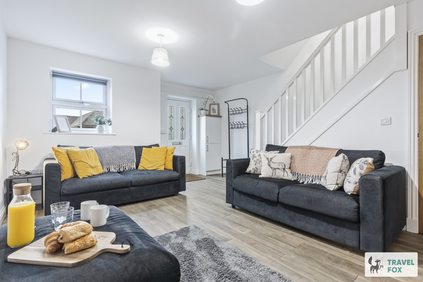
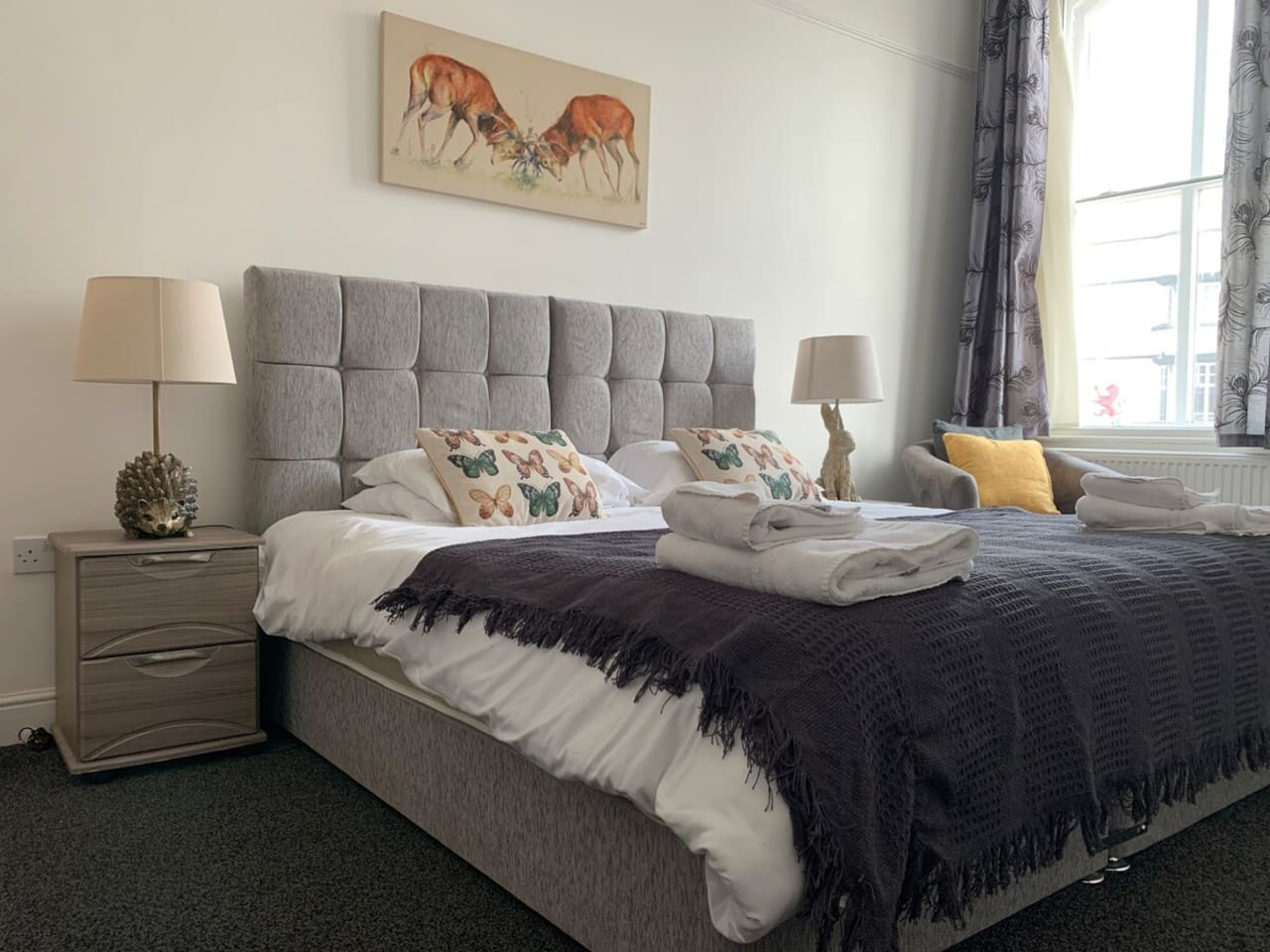
Lisa's House Leek: 20mins Alton Towers
- Sleeps 6
- 2 bedrooms
Leek
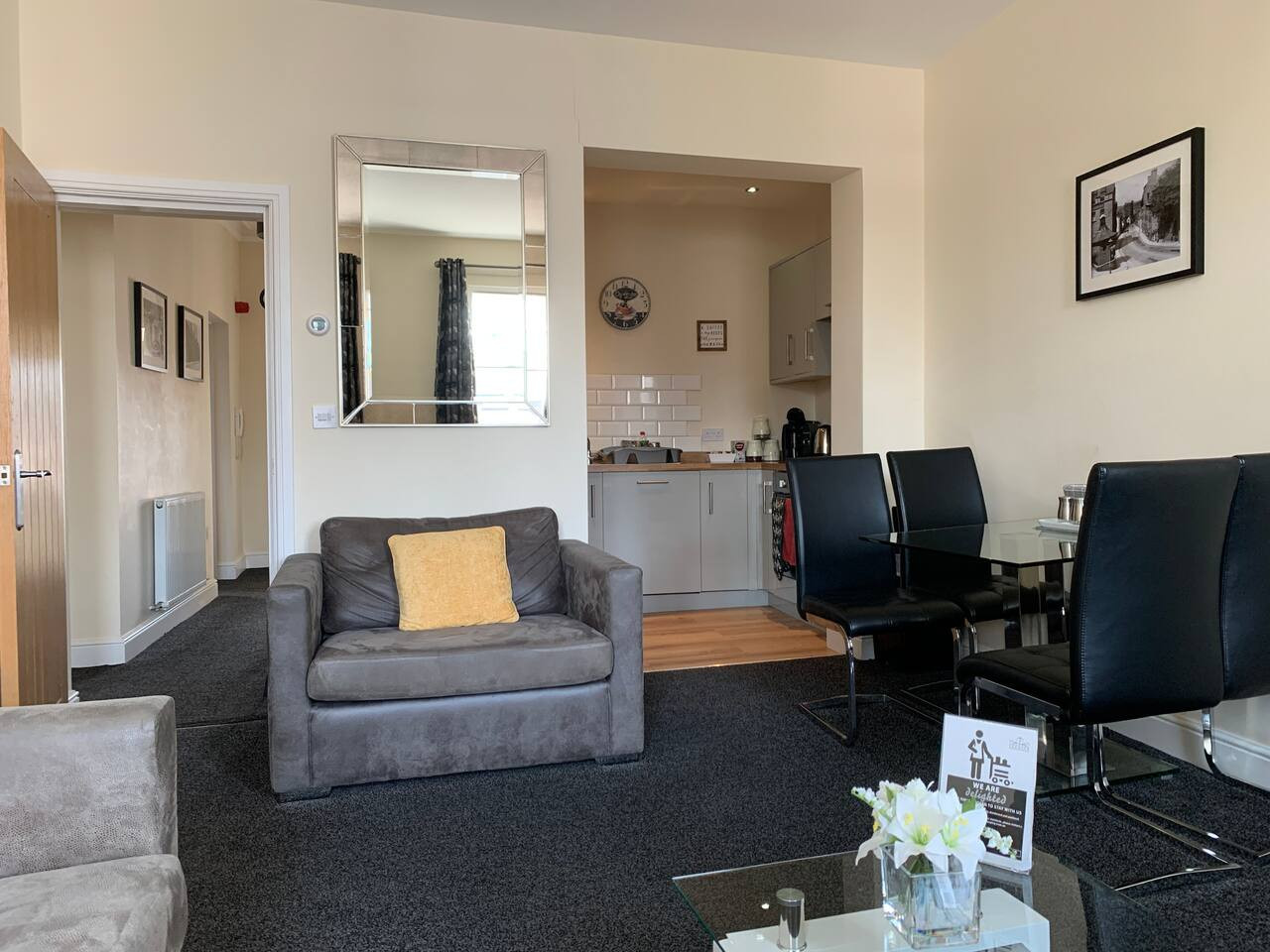
The Rudyard Suite - Large 1 Bed Apartment
- Sleeps 5
- 1 bedroom
Leek
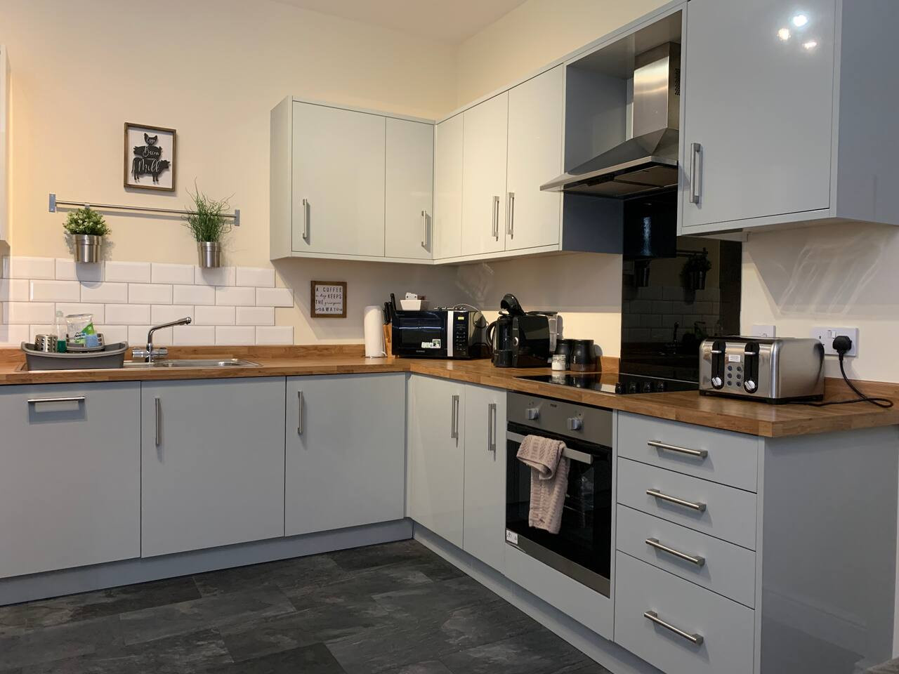
The Roaches Suite - Large 2 Bedroom Apartment
- Sleeps 7
- 2 bedrooms
Leek
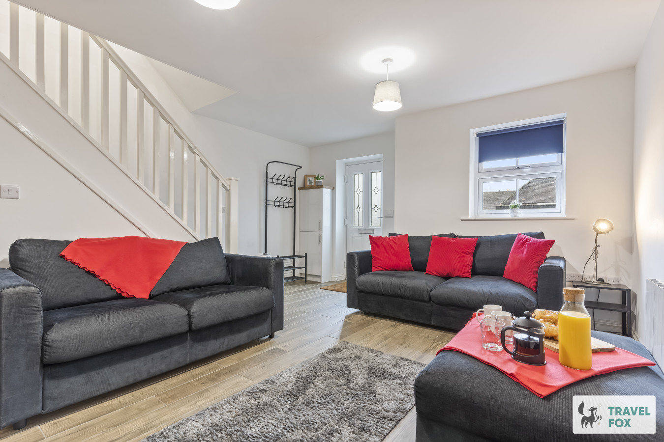
The Moorlands Suite - 1 Bed Apartment
- Sleeps 4
- 1 bedroom
Leek
Amy's House: 20mins Alton Towers
- Sleeps 6
- 2 bedrooms
For homeowners
Own a holiday home near Castleton?
We manage holiday lets across the Peak District from 12% commission, charged after cleaning costs, with no lock-in. A co-founder visits before you decide.
Holiday let management in the Peak District →
A guide with a point of view
Written from research. Edited for real journeys.
Use the Official site links for live practical details, then use this guide for context, ideas and room to explore.
Photography credits & licences
Third-party photographs are credited to their named creators and reused under the linked Creative Commons licence or public-domain dedication. Travel Fox stores an optimised local copy; the file-specific changes and any browser-applied display crop are disclosed below. Reused photographs link both to the Wikimedia Commons source record and to the declared source image; Travel Fox's own photographs carry no such record and are marked as ours. These image licences do not cover Travel Fox text, branding or page design.
- File:Peveril Castle Castleton Derbyshire England.jpg — photograph by Snapshots Of The Past; Peveril Castle Castleton Derbyshire England. Source record on Wikimedia Commons. Declared source image. Licence: CC BY-SA 2.0. File changes: Downloaded from Wikimedia Commons, resized to a maximum 1920px edge and encoded as an optimised JPEG. Display changes: Displayed with responsive CSS cropping.
- File:Speedwell Cavern - geograph.org.uk - 5669496.jpg — photograph by Chris Thomas-Atkin; Speedwell Cavern by Chris Thomas-Atkin. Source record on Wikimedia Commons. Declared source image. Licence: CC BY-SA 2.0. File changes: Downloaded from Wikimedia Commons, resized to a maximum 1920px edge and encoded as an optimised JPEG. Display changes: Displayed with responsive CSS cropping.
- File:Castleton and Mam Tor - geograph.org.uk - 3713412.jpg — photograph by Peter Barr; Castleton and Mam Tor by Peter Barr. Source record on Wikimedia Commons. Declared source image. Licence: CC BY-SA 2.0. File changes: Downloaded from Wikimedia Commons, resized to a maximum 1920px edge and encoded as an optimised JPEG. Display changes: Displayed with responsive CSS cropping.