
White Peak paths and race country
Flagg
A high, exposed farming village where the Limestone Way crosses a plateau of drystone walls and Flagg Moor hosts a singular Easter Tuesday race meeting.
- Best for
- Plateau walking and Flagg Races
- Landscape
- Exposed White Peak farmland and drystone walls
- Don't miss
- The Limestone Way through the village
The Fox verdict
A walking village with one remarkable race day
Flagg is a small farming settlement whose paths, plateau landscape and Easter Tuesday point-to-point give visitors clear reasons to stop.
Come for the walking: the Limestone Way runs through Flagg, while circuits connect the village with Taddington, Chelmorton and Monyash. The village's chapel history adds a compact heritage stop, and Arbor Low and the Monsal Trail broaden a day on the White Peak.
Where to go
Places in Flagg
Every place below is checked against a published source, listed with what it is and how long to give it.
Local signatures
3 placesChelmorton and Flagg from Taddington Walk
A roughly seven-mile White Peak circuit from Taddington that climbs towards Sough Top, crosses many drystone-wall stiles, follows the Limestone Way for much of its course and descends steeply into Chelmorton.
- Visit length
- Editorial estimate: allow around 3 hours 30 minutes
- Locality
- from Taddington, off the A6
- Access
- The route crosses many stiles in drystone walls and descends steeply into Chelmorton.
Monyash and Flagg Walk
A circular walking route linking Flagg with neighbouring Monyash across the limestone plateau.
- Visit length
- Editorial estimate: allow around 2 hours 30 minutes
- Locality
- linking Flagg with neighbouring Monyash across the limestone plateau
Flagg Methodist Chapel
Flagg’s Primitive Methodist chapel was rebuilt in 1883. Its building is now used by the neighbouring nursery school; view it only from the public road.
- Visit length
- Editorial estimate: allow around 20 minutes
- Locality
- beside the former village school, now a nursery school
- Access
- The former chapel building is in nursery-school use. View from the public road; do not enter the nursery grounds.
Walks & outdoors
1 placeMonsal Trail
A nearby 8.5-mile traffic-free walking and cycling route on the former Midland Railway Manchester–London line, running between Blackwell Mill in Chee Dale and Bakewell.
- Visit length
- Editorial estimate: allow around 2 hours
- Locality
- between Blackwell Mill (Chee Dale) and Bakewell
- Access
- The trail is a traffic-free walking and cycling route.
History & heritage
1 placeArbor Low Stone Circle and Gib Hill Barrow
Arbor Low is a well-preserved Neolithic henge and stone circle near Monyash, with Gib Hill barrow nearby. Arbor Low is about 3.9 miles from Flagg in a straight line; the road journey is longer.
- Visit length
- Editorial estimate: allow around 45 minutes
- Locality
- at Arbor Low near Monyash
Things to do
1 placeFlagg Races
The High Peak Hunt's annual Easter Tuesday point-to-point on Flagg Moor has run since 1892 and retains a Hunt Members' race over natural hunting country.
- Visit length
- Editorial estimate: allow around 1 hour 30 minutes
- Locality
- on Flagg Moor
- Access
- The races are held annually on Easter Tuesday.
No places match this filter. Choose All places to reset the list.
Three ways to explore Flagg
Signature outings
Easter Tuesday on Flagg Moor
Watch the High Peak Hunt point-to-point on natural hunting country at the annual meeting that has run since 1892.
Arbor Low and Gib Hill
Visit Arbor Low's well-preserved Neolithic henge and stone circle near Monyash, with Gib Hill barrow standing nearby.
The Monsal Trail
Walk or cycle a traffic-free former railway route through the limestone dales between Blackwell Mill and Bakewell.
The village story
Flagg Village Guide
A White Peak farming village where long-distance paths, annual racing and chapel history meet on the limestone plateau.
Paths, a Dry Village and Community
The Limestone Way runs straight through the middle of Flagg, which is more or less the point of the place. The village sits at the end of Day 1 of the long-distance route from Castleton, and the paths spread out from it across the limestone plateau in every direction. At about a thousand feet up, halfway between Bakewell and Buxton, it is a farming village of drystone walls, scattered farmhouses and a good deal of wind.
What Flagg does not have is a pub. The Plough closed a few years ago, and the village is now, by any reasonable definition, dry.
Flagg has a former chapel, a nursery school and a village hall.
Walks, Races and Chapels
The walking is the reason most people come. A circular from neighbouring Taddington runs about seven miles, climbing towards Sough Top and crossing more drystone-wall stiles than you will want to count before dropping steeply into Chelmorton; the view from Sough Lane is rated one of the best in the Peak District. Another route loops out to Monyash across the plateau.
For one day a year, Flagg is busy. Every Easter Tuesday the High Peak Hunt holds point-to-point races on Flagg Moor — "Derbyshire's equivalent to the Grand National," and one of the oldest meetings of its kind. They have run since 1892, and by the mid-1980s only about ten old-fashioned point-to-points survived in the country. Flagg is now the only one, and the only meeting still to run the Hunt Members' race over natural hunting country, starting out in the open between Flagg and Pomeroy. The future Edward VIII once rode here as Prince of Wales.
Flagg has no medieval parish church — it is a village of chapels rather than churches. The Primitive Methodist chapel was rebuilt in 1883, and its building is now used by the nursery beside it. A former Unitarian church of 1838 is a private house.
From Flagun to Flagg Hall
The name is older than any of the buildings. The Domesday Book of 1086 records the place as "Flagun," from an Old Norse word meaning a sod of peat, or turf. It was probably a Viking settlement, and probably a lead-mining one — the spoil heaps and disused shafts are still there in the fields around.
Of the four listed buildings, two stand out: Flagg Hall, a late-seventeenth-century manor of three storeys, and the Old Farmhouse at Town Head Farm, dated 1639.
The Old Railway and a Nippy Farewell
Bakewell, with its pudding and its Monday market, is six miles east; Buxton and its Georgian spa are to the north. Flagg has no station; the former railway line, closed in 1968, survives nearby as the Monsal Trail, a traffic-free path through the dales.
Dave Welford, who writes the walkswithwelf blog, summed the place up after one visit. "I like Flagg a lot," he wrote. "Even when it's nippy."
Stay around Peak District
Make a longer stay of it
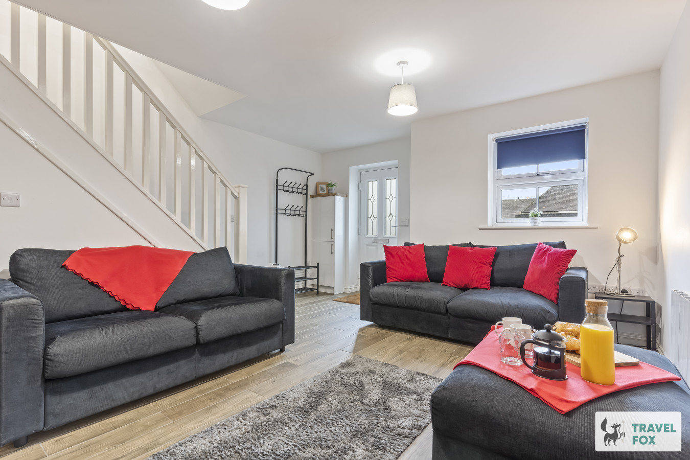
Travel Fox holiday homes around Peak District, linked directly to their property pages.
Leek
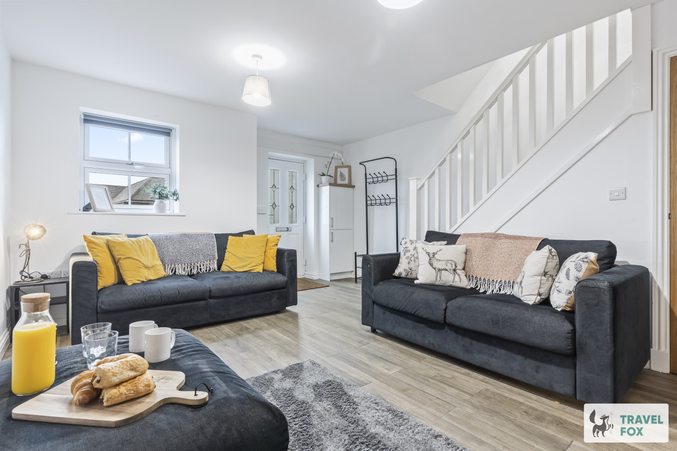
Lisa's House Leek: 20mins Alton Towers
- Sleeps 6
- 2 bedrooms
Leek
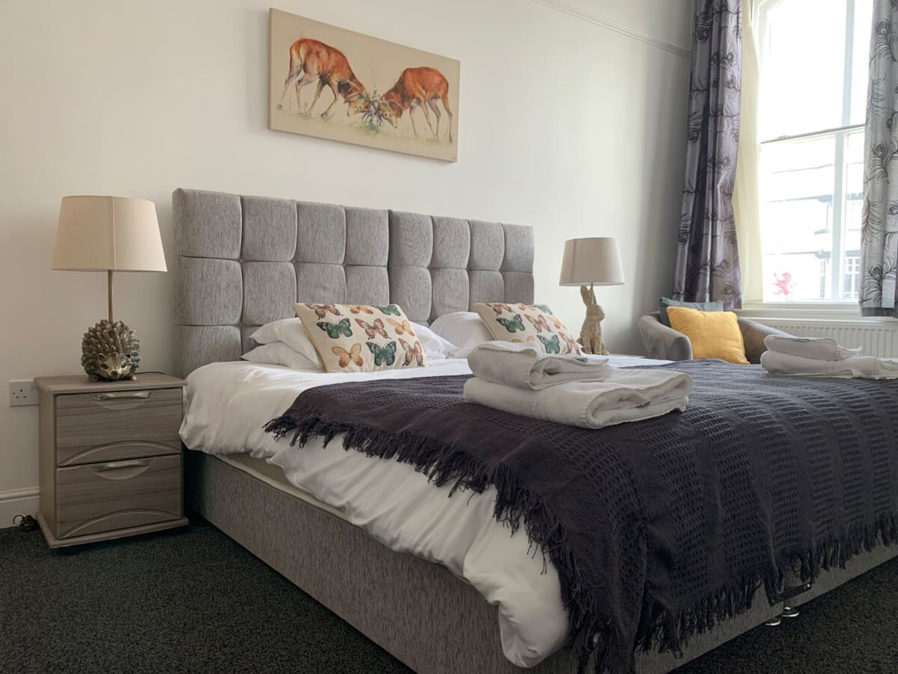
The Rudyard Suite - Large 1 Bed Apartment
- Sleeps 5
- 1 bedroom
Leek
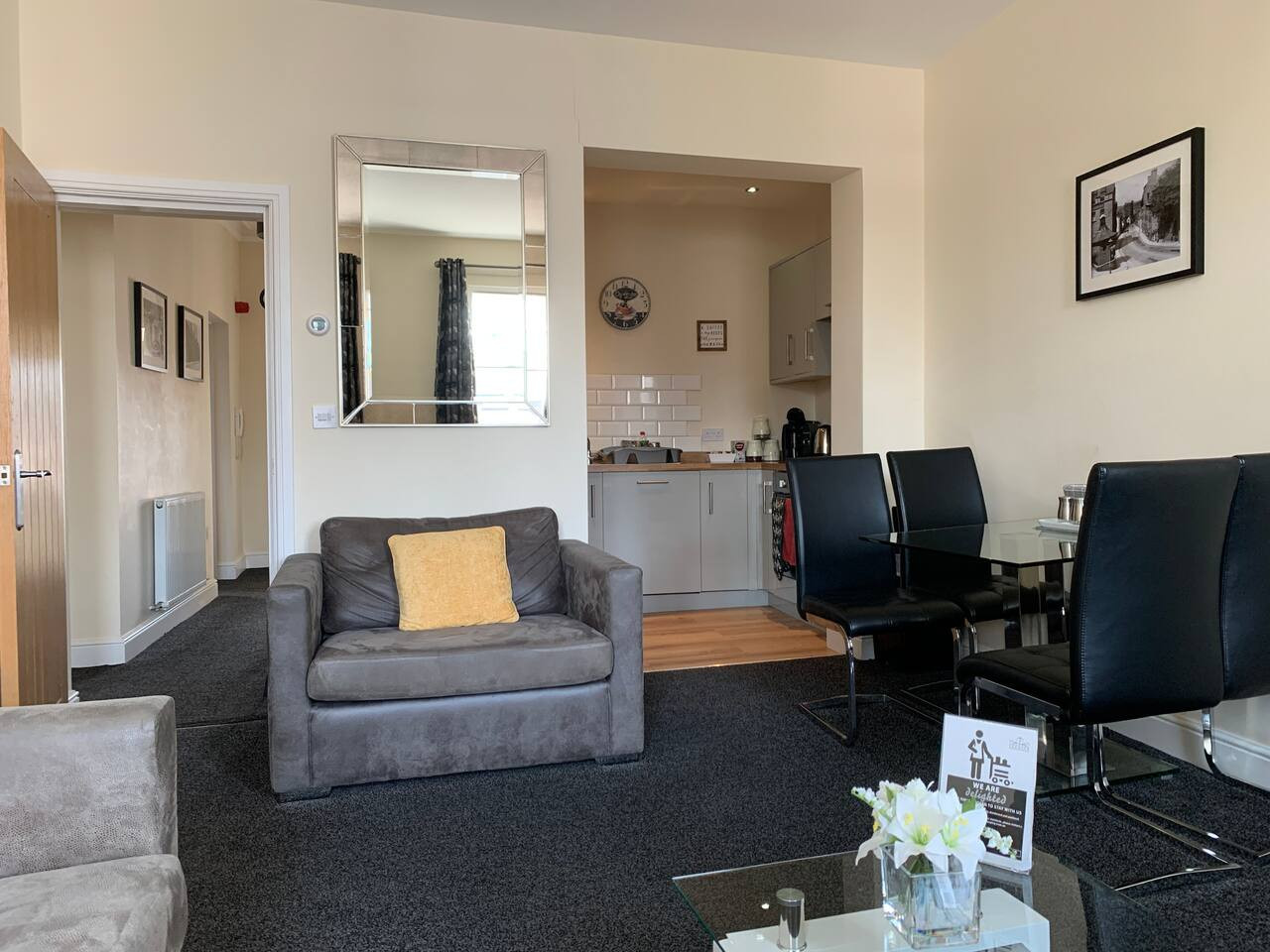
The Roaches Suite - Large 2 Bedroom Apartment
- Sleeps 7
- 2 bedrooms
Leek
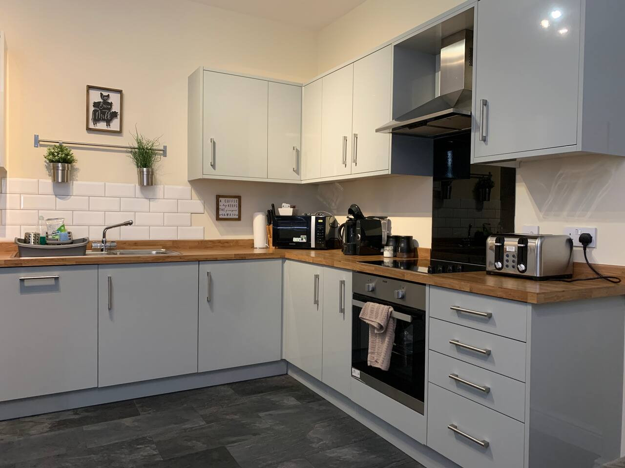
The Moorlands Suite - 1 Bed Apartment
- Sleeps 4
- 1 bedroom
Leek
Amy's House: 20mins Alton Towers
- Sleeps 6
- 2 bedrooms
For homeowners
Own a holiday home near Flagg?
We manage holiday lets across the Peak District from 12% commission, charged after cleaning costs, with no lock-in. A co-founder visits before you decide.
Holiday let management in the Peak District →
A guide with a point of view
Written from research. Edited for real journeys.
Use the Official site links for live practical details, then use this guide for context, ideas and room to explore.
Sources
Every place on this page is checked against a published source. Each entry links the record we used and names who publishes it.
- Chelmorton and Flagg from Taddington Walk — peakdistrict.gov.uk statutory register or public authority record not machine-readable; publisher restricts automated access
- Monyash and Flagg Walk — visitpeakdistrict.com operator, sector body or destination organisation
- Flagg Races — visitpeakdistrict.com operator, sector body or destination organisation
- Flagg Methodist Chapel — her.derbyshire.gov.uk statutory register or public authority
- Arbor Low Stone Circle and Gib Hill Barrow — english-heritage.org.uk national body or asset manager
- Monsal Trail — peakdistrict.gov.uk statutory register or public authority record not machine-readable; publisher restricts automated access