
Village character, railway miles
Great Longstone
A quiet village beneath Longstone Edge, with two characterful pubs, a medieval church and the Monsal Trail close by.
- Best for
- Ridge walks and traffic-free trail time
- Give it
- A village wander plus one longer walk
- Don’t miss
- The working-life carvings in St Giles’ roof
Photo: Mike Pennington · CC BY-SA 2.0 · cropped
The Fox verdict
A small village with walking on a grand scale
Great Longstone pairs an unspoilt village core with the limestone heights of Longstone Edge and the old railway line of the Monsal Trail.
Start with St Giles’ medieval roof and the everyday village landmarks, then choose between the ridge, the trail or the Wye valley view at Monsal Head. The two Main Street pubs make useful bookends to a walk.
Where to go
Places in Great Longstone
Every place below is checked against a published source, listed with what it is and how long to give it.
Local signatures
3 placesThe Crispin
A traditional Robinsons village pub with open fires, a sunny beer garden and a seasonal menu that includes homemade pies, local-butcher steaks and pub classics.
- Visit length
- Editorial estimate: Allow around 1½ hours
- Locality
- Main Street, Great Longstone
St Giles’ Church
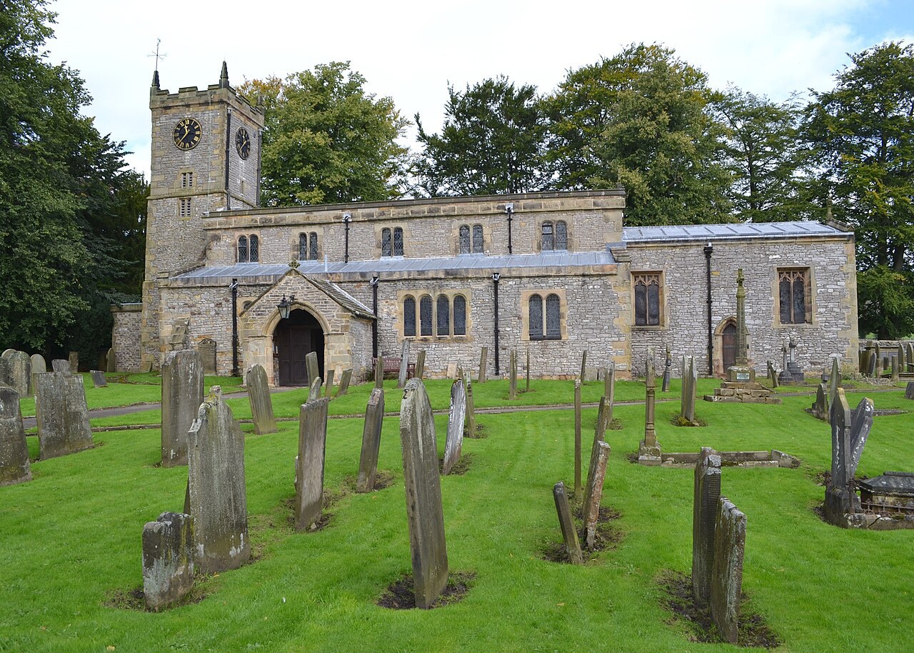
A Grade I church with a 13th-century core, a fine medieval oak roof carved with lead miners and milk-maids, Norman Shaw stained glass and a medieval churchyard cross.
- Visit length
- Editorial estimate: Allow around 45 minutes
- Locality
- Great Longstone
Longstone Edge
A limestone ridge rising to about 1,300 feet, with the Peak District’s largest example of limestone heathland, prehistoric barrows and old lead-mine workings.
- Visit length
- Editorial estimate: Allow around 2½ hours
- Locality
- Longstone Edge, above Great Longstone
Food & drink
1 placeThe White Lion
A 17th-century coaching inn with original fireplaces, a snug, a restaurant and an enclosed rear garden; its monthly-changing menu centres on pub classics and pizzas.
- Visit length
- Editorial estimate: Allow around 1½ hours
- Locality
- Main Street, Great Longstone
Walks & outdoors
2 places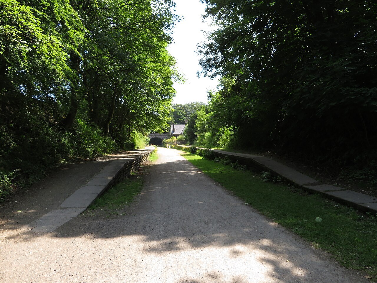
Monsal Trail
An 8.5-mile traffic-free walking and cycling trail on a former railway trackbed, running between Bakewell and Blackwell Mill in Chee Dale.
- Visit length
- Editorial estimate: Allow around 2 hours for a village-side section
- Locality
- Monsal Trail, south of Great Longstone
Monsal Head
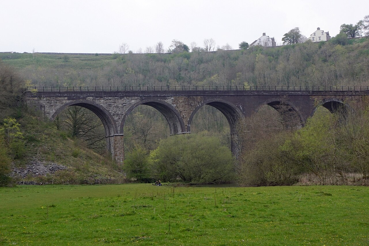
A celebrated viewpoint over the Wye valley and the Monsal Dale viaduct, close enough to pair with time in Great Longstone.
- Visit length
- Editorial estimate: Allow around 45 minutes
- Locality
- Monsal Head, near Little Longstone
No places match this filter. Choose All places to reset the list.
Three ways to explore Great Longstone
Signature outings
Take in the viaduct from Monsal Head
Pause above the Wye valley for the dramatic view across Monsal Dale and its railway viaduct.
Find village work carved in oak
Look up in St Giles’ to find lead miners and milk-maids recorded in the medieval roof carvings.
Follow the old line through the dales
Walk or cycle a traffic-free section of the former railway trackbed between Bakewell and Chee Dale.
The village story
A village shaped by water and work
Springs explain the settlement, while the church roof, pub name and railway keep its working and social history in view.
Where water meets the ridge
On the main street there is a restored vintage petrol pump that no longer sells petrol. A little further along stand a pair of conjoined stone water troughs, fed by springs that emerge where limestone meets shale. That junction is the reason the village exists at all — the water surfaces here and nowhere obvious nearby, so people settled where the water was.
Great Longstone sits beneath Longstone Edge, a limestone ridge that rises to about 1,300 feet. The village has two pubs, a church, and a market cross, which for a place of 843 people is a decent haul.
Two inns, two village stories
The Crispin is named after St Crispin, the patron saint of shoemakers, a nod to an 18th-century shoemaking trade that has otherwise left no trace. It's a Robinsons house on Main Street with roaring open fires and a seasonal menu that changes often — homemade pies, fish pie, dressed crab, lamb shank, steaks from the local butcher, and fish and chips with mushy peas. It's closed on Mondays, bank holidays excepted. There's a beer garden round a sunny corner.
The White Lion, a few doors down, is a 17th-century coaching inn run by Libby and Greg Robinson since 2009. The menu changes monthly and includes their "famous Beef Pie" and pizzas from a proper pizza oven. Dogs get blankets and biscuits. Children get a "Little Lions" menu with a free scoop of ice cream, and there's a park at the top of the car park to work it off.
A carved working past
St Giles' Church has a 13th-century core and a medieval oak roof carved with lead miners and milk-maids, which is to say the building keeps a record of the two things people here used to do. Richard Norman Shaw restored it in 1873, designing the stained glass himself. There's a chantry chapel built for the Eyre family, who were Roman Catholics, and a medieval cross in the churchyard.
Old rails and onward roads
The walking is the main event. Monsal Head has a view over the Wye valley and its viaduct. The Monsal Trail runs close by — 8.5 traffic-free miles along a former railway trackbed toward Bakewell and Chee Dale. The old station closed in 1962 and is now someone's house. Longstone Edge itself is the largest limestone heathland in the Peak District, scattered with Bronze Age barrows and the ruins of lead mines with names like Cackle Mackle. Little Longstone, Rowland, Hassop and Ashford-in-the-Water are all within a walk.
Bakewell is about three miles away by road. There's no station, though buses do run.
Well dressings in summer
In mid-July the village dresses its wells, the school's one sitting on the green facing Main Street, where anyone passing can see it.
Stay around Peak District
Make a longer stay of it
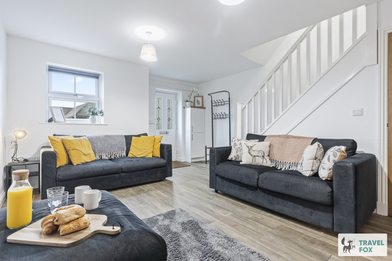
Travel Fox holiday homes around Peak District, linked directly to their property pages.
Leek
Lisa's House Leek: 20mins Alton Towers
- Sleeps 6
- 2 bedrooms
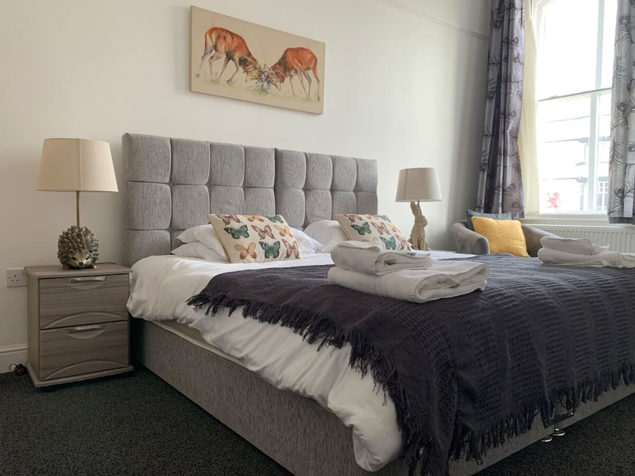
Leek
The Rudyard Suite - Large 1 Bed Apartment
- Sleeps 5
- 1 bedroom
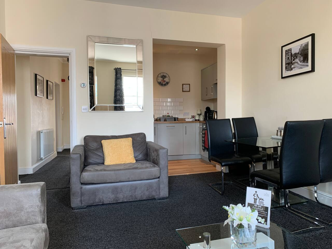
Leek
The Roaches Suite - Large 2 Bedroom Apartment
- Sleeps 7
- 2 bedrooms
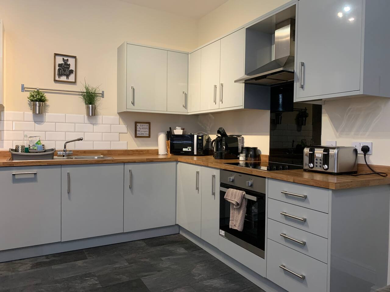
Leek
The Moorlands Suite - 1 Bed Apartment
- Sleeps 4
- 1 bedroom
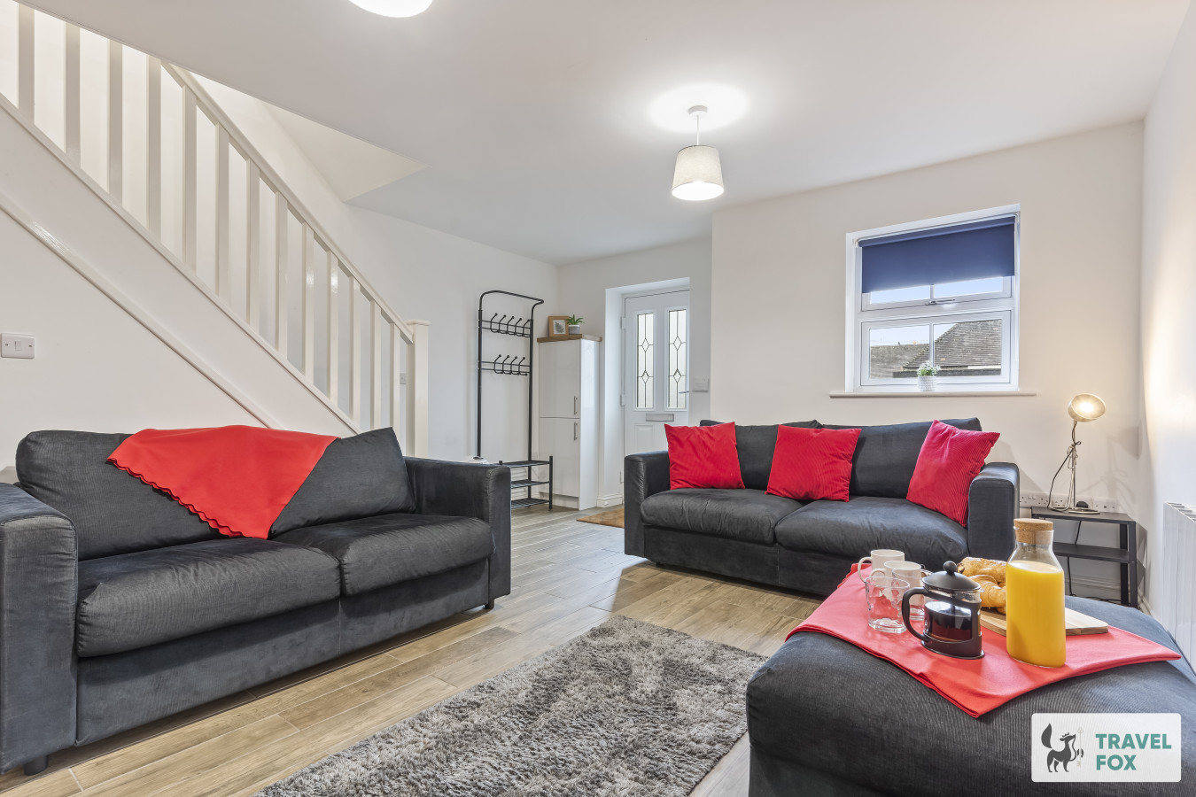
Leek
Amy's House: 20mins Alton Towers
- Sleeps 6
- 2 bedrooms
For homeowners
Own a holiday home near Great Longstone?
We manage holiday lets across the Peak District from 12% commission, charged after cleaning costs, with no lock-in. A co-founder visits before you decide.
Holiday let management in the Peak District →
A guide with a point of view
Written from research. Edited for real journeys.
Use the Official site links for live practical details, then use this guide for context, ideas and room to explore.
Photography credits & licences
Third-party photographs are credited to their named creators and reused under the linked Creative Commons licence or public-domain dedication. Travel Fox stores an optimised local copy; the file-specific changes and any browser-applied display crop are disclosed below. Reused photographs link both to the Wikimedia Commons source record and to the declared source image; Travel Fox's own photographs carry no such record and are marked as ours. These image licences do not cover Travel Fox text, branding or page design.
- File:Railway bridge over the River Wye at Monsal Head - geograph.org.uk - 7201440.jpg — photograph by Mike Pennington; Railway bridge over the River Wye at Monsal Head by Mike Pennington. Source record on Wikimedia Commons. Declared source image. Licence: CC BY-SA 2.0. File changes: Downloaded from Wikimedia Commons, resized to a maximum 1920px edge and encoded as an optimised JPEG. Display changes: Displayed with responsive CSS cropping.
- File:St Giles Church, Great Longstone - geograph.org.uk - 3152314.jpg — photograph by Neil Theasby; St Giles Church, Great Longstone by Neil Theasby. Source record on Wikimedia Commons. Declared source image. Licence: CC BY-SA 2.0. File changes: Downloaded from Wikimedia Commons, resized to a maximum 1920px edge and encoded as an optimised JPEG. Display changes: Displayed with responsive CSS cropping.
- File:Monsal Trail- site of Great Longstone station (geograph 5834859).jpg — photograph by Gareth James; Gareth James. Source record on Wikimedia Commons. Declared source image. Licence: CC BY-SA 2.0. File changes: Downloaded from Wikimedia Commons, resized to a maximum 1920px edge and encoded as an optimised JPEG. Display changes: Displayed with responsive CSS cropping.
Sources
Every place on this page is checked against a published source. Each entry links the record we used and names who publishes it.
- The Crispin — Robinsons Brewery
- The White Lion — Robinsons Brewery
- St Giles’ Church — Church of England
- Monsal Trail — Peak District National Park Authority record not machine-readable; publisher restricts automated access
- Longstone Edge — Peak District National Park Authority record not machine-readable; publisher restricts automated access
- Monsal Head — Peak District National Park Authority record not machine-readable; publisher restricts automated access